Bristol Belt
Wood, Forest in Suffolk West Suffolk
England
Bristol Belt
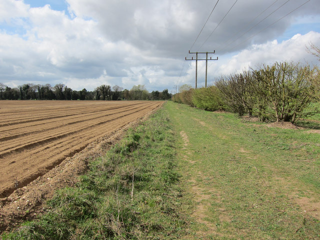
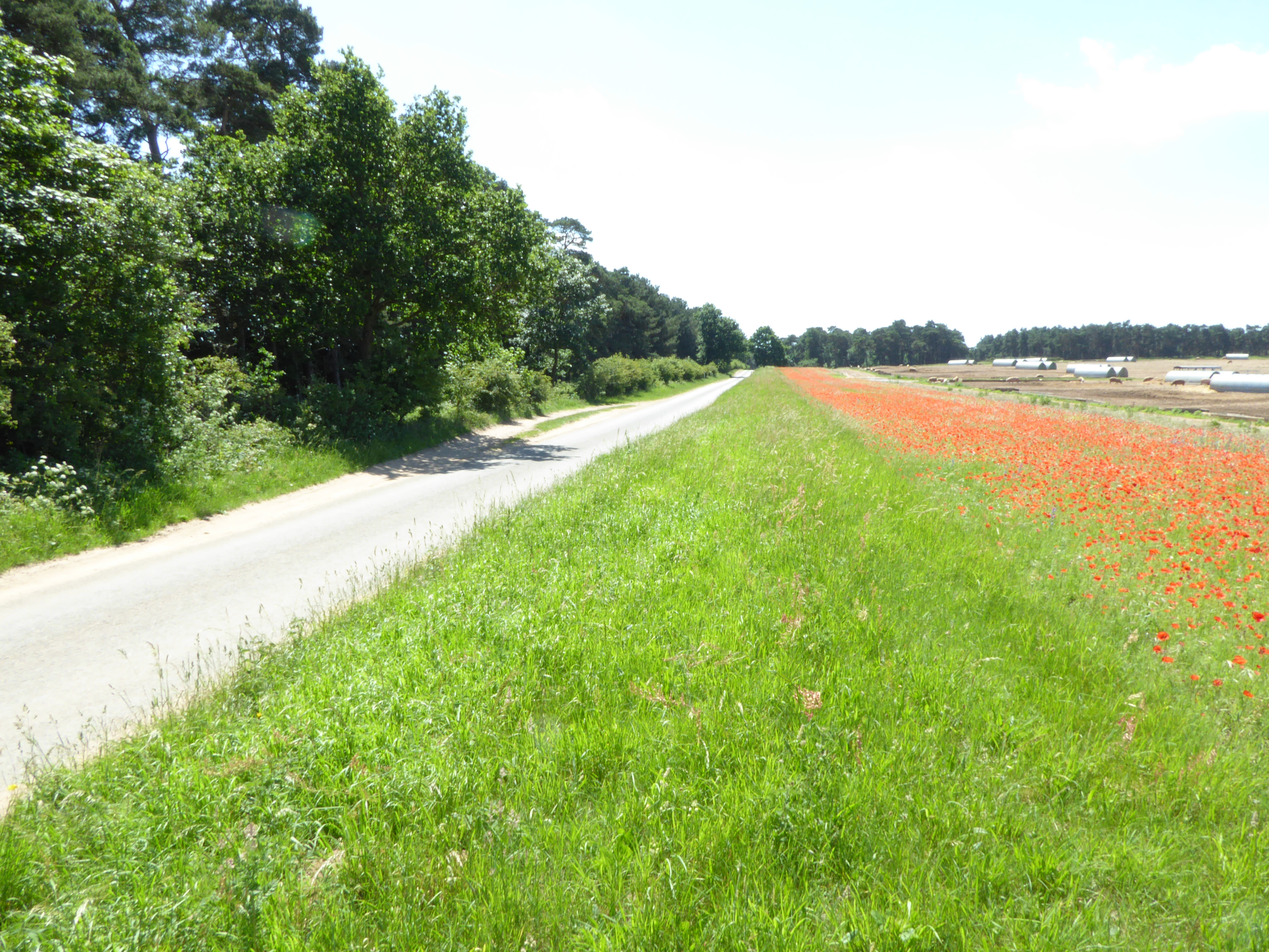
Bristol Belt, Suffolk is a picturesque wood located in the county of Suffolk, England. Spanning over a vast area, this forest offers visitors a serene and tranquil environment to explore and unwind. The wood is situated near the town of Bristol, which is known for its rich history and charming countryside.
The Bristol Belt is home to a diverse range of flora and fauna, making it a popular destination for nature enthusiasts and wildlife lovers. The forest is primarily composed of deciduous trees such as oak, beech, and birch, which create a vibrant and ever-changing canopy throughout the year. These trees provide a haven for a variety of bird species, including woodpeckers, owls, and songbirds.
Walking trails meander through the wood, allowing visitors to explore its beauty at their own pace. As visitors wander through the forest, they can discover hidden clearings, babbling brooks, and enchanting wildlife habitats. The wood also features several picnic areas, providing a perfect spot for families and friends to enjoy a leisurely outdoor meal amidst the natural surroundings.
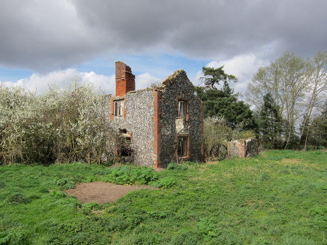
Bristol Belt is not only a haven for wildlife but also a place of historical significance. The wood has witnessed human activity dating back to ancient times, with archaeological evidence suggesting settlements and farming practices from the Neolithic and Bronze Age periods. The forest's rich history adds to its allure and offers visitors a glimpse into the region's past.
Overall, Bristol Belt, Suffolk is a captivating wood that offers a perfect retreat for those seeking solace in nature. With its stunning landscapes, diverse wildlife, and historical significance, it is a must-visit destination for anyone exploring the Suffolk countryside.
If you have any feedback on the listing, please let us know in the comments section below.
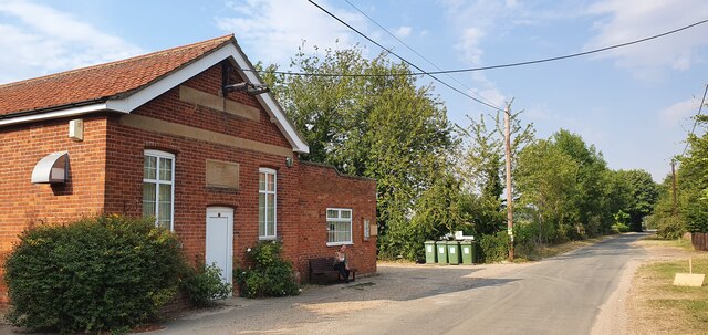
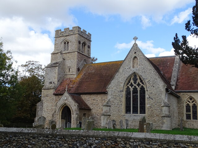
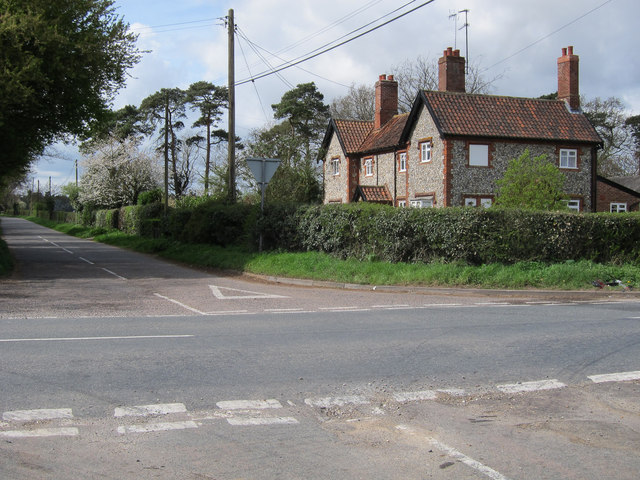
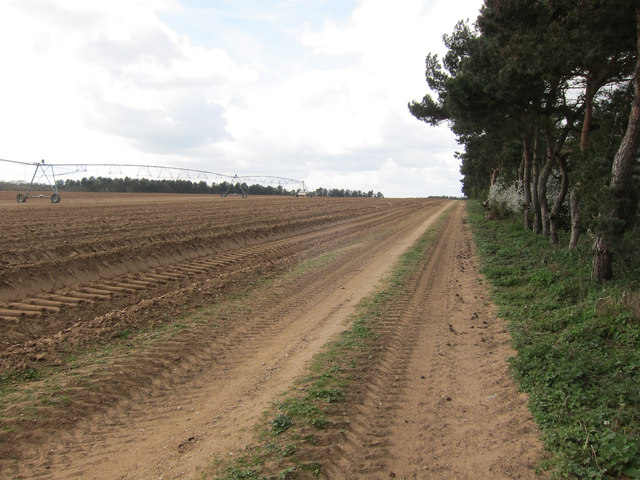
Bristol Belt Images
Images are sourced within 2km of 52.296385/0.54295887 or Grid Reference TL7369. Thanks to Geograph Open Source API. All images are credited.


Bristol Belt is located at Grid Ref: TL7369 (Lat: 52.296385, Lng: 0.54295887)
Administrative County: Suffolk
District: West Suffolk
Police Authority: Suffolk
What 3 Words
///croutons.marzipan.befitting. Near Mildenhall, Suffolk
Nearby Locations
Related Wikis

Herringswell
Herringswell is a village and civil parish in the West Suffolk district of Suffolk in eastern England. In 2005 it had a population of 190. In 2007 there...

Tuddenham
Tuddenham is a village and civil parish in the West Suffolk district of Suffolk in eastern England. In 2005 it had a population of 450. falling to 423...

Shi-Tennoji School in UK
Shi-Tennoji School in UK (英国四天王寺学園, Eikoku Shitennōji Gakuen) was a Japanese international secondary school in Herringswell, Suffolk, England, United Kingdom...
Cherry Hill and The Gallops, Barton Mills
Cherry Hill and The Gallops, Barton Mills is a 10.4-hectare (26-acre) biological Site of Special Scientific Interest south of Barton Mills in Suffolk....
RAF Tuddenham
Royal Air Force Tuddenham or RAF Tuddenham is a former Royal Air Force station located 3.2 miles (5.1 km) south east of Mildenhall, Suffolk, England and...

Cavenham
Cavenham is a village and civil parish in Suffolk, England, 10 kilometres (6 mi) northwest of Bury St Edmunds. It is in the local government district of...

A14 road (England)
The A14 is a major trunk road in England, running 127 miles (204 km) from Catthorpe Interchange, a major intersection at the southern end of the M6 and...

Red Lodge, Suffolk
Red Lodge is a village and civil parish situated in rural Suffolk, England, between Mildenhall and Newmarket, and very close to the A11 and A14 roads....
Nearby Amenities
Located within 500m of 52.296385,0.54295887Have you been to Bristol Belt?
Leave your review of Bristol Belt below (or comments, questions and feedback).