Fox Covert
Wood, Forest in Norfolk King's Lynn and West Norfolk
England
Fox Covert
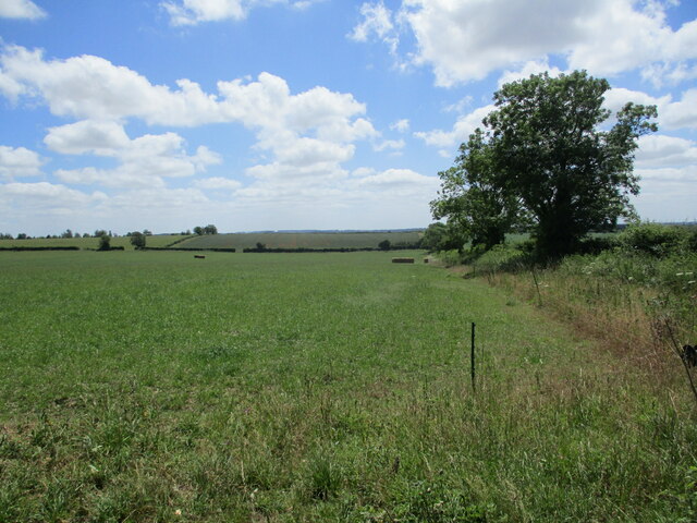
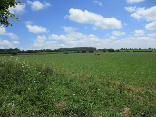
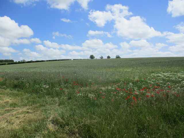
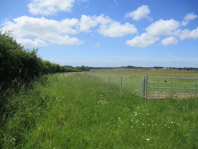
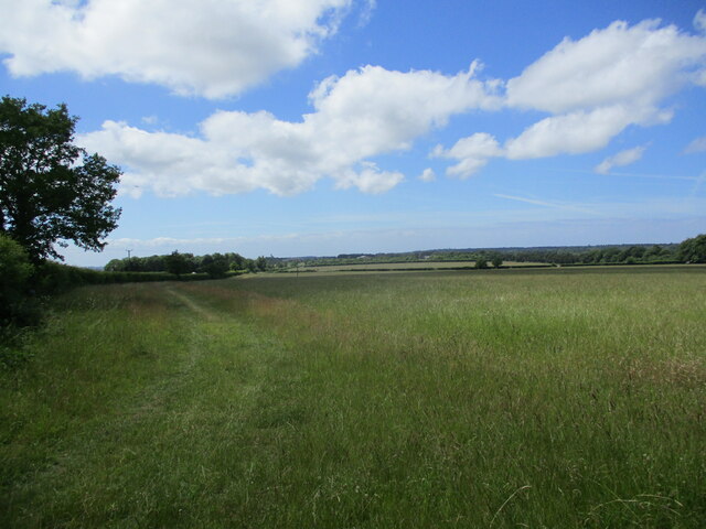
Fox Covert is a picturesque woodland located in the county of Norfolk, England. Nestled in the heart of the Norfolk countryside, the covert covers an extensive area of lush greenery and is a haven for nature enthusiasts and wildlife lovers alike.
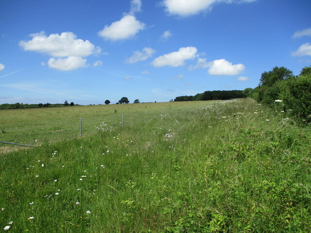
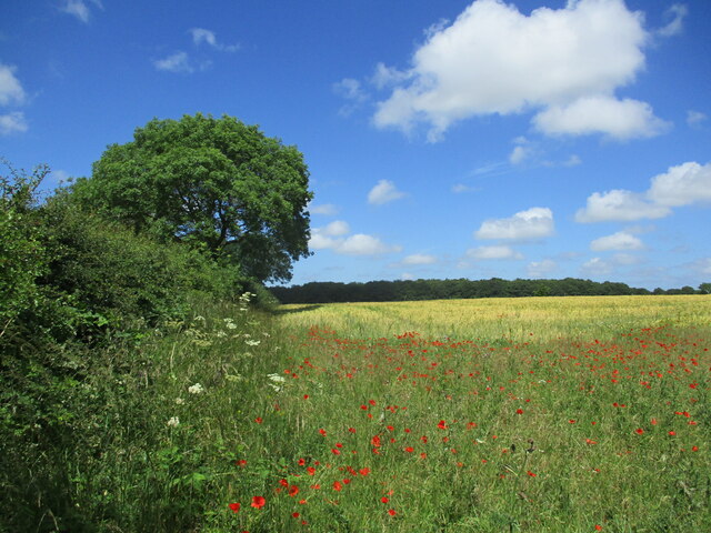
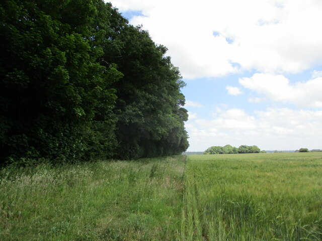
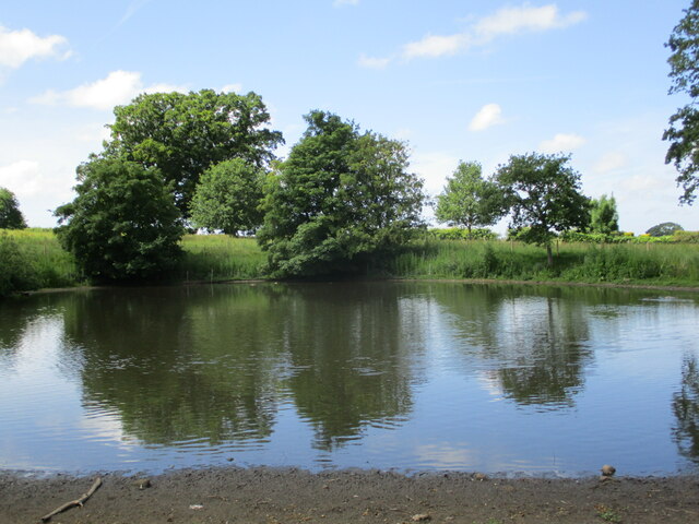
The woodland is characterized by its dense canopy of trees, predominantly consisting of oak, beech, and birch. These towering trees provide ample shade and contribute to the enchanting atmosphere of the forest. The forest floor is covered with a rich carpet of ferns, mosses, and wildflowers, adding to the area's natural beauty.
Fox Covert is home to a diverse range of flora and fauna. Birdwatchers flock to the area to catch a glimpse of the various species that inhabit the woodland, including woodpeckers, tawny owls, and nightingales. The covert is also known for its thriving population of foxes, which gives the woodland its name.
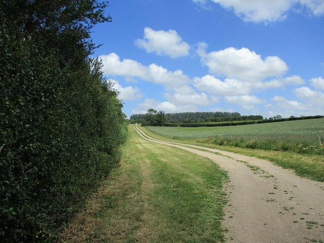
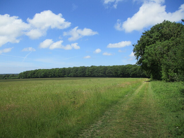
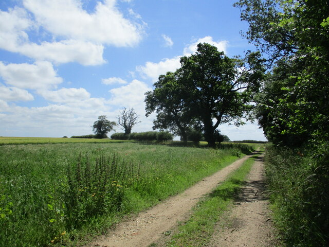
The woodland offers a network of well-maintained footpaths and trails, allowing visitors to explore its enchanting surroundings. These paths wind through the forest, leading visitors to hidden glades, babbling brooks, and tranquil ponds. The peaceful ambiance of Fox Covert makes it an ideal destination for walking, jogging, or simply immersing oneself in nature.
With its stunning natural landscape, abundant wildlife, and serene atmosphere, Fox Covert is a true gem in the Norfolk countryside. It provides a much-needed escape from the hustle and bustle of everyday life, offering visitors a chance to connect with nature and experience the beauty of the British woodland.
If you have any feedback on the listing, please let us know in the comments section below.
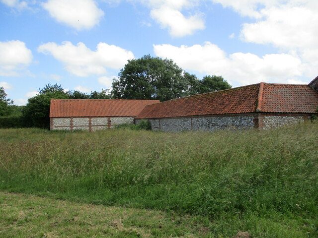
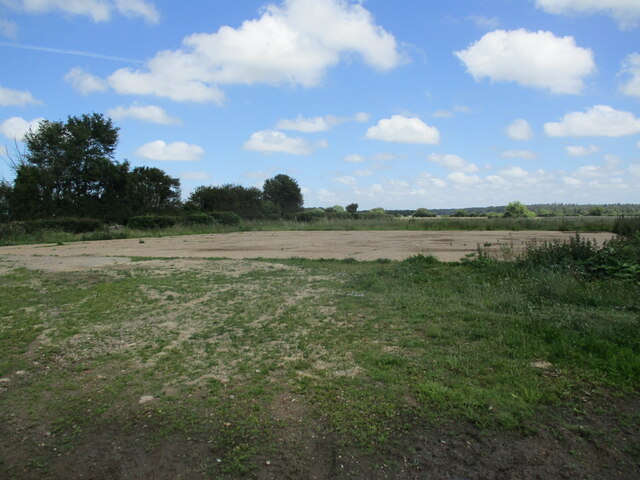
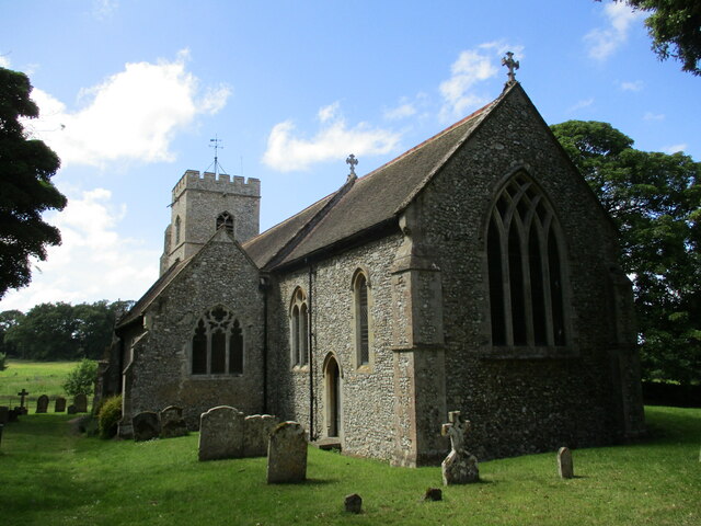
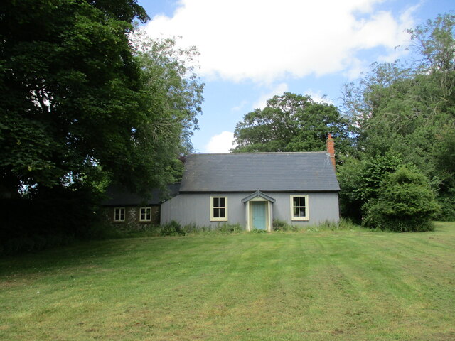
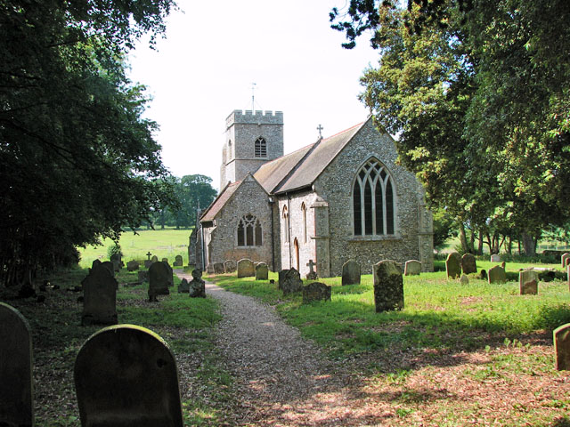
Fox Covert Images
Images are sourced within 2km of 52.827074/0.57343476 or Grid Reference TF7328. Thanks to Geograph Open Source API. All images are credited.
Fox Covert is located at Grid Ref: TF7328 (Lat: 52.827074, Lng: 0.57343476)
Administrative County: Norfolk
District: King's Lynn and West Norfolk
Police Authority: Norfolk
What 3 Words
///carefully.husky.fermented. Near Dersingham, Norfolk
Nearby Locations
Related Wikis

Anmer Hall
Anmer Hall is a Georgian country house in the village of Anmer in Norfolk, England. Built in the 19th century, it was acquired by the Sandringham Estate...
Anmer
Anmer is a small village and civil parish in the English county of Norfolk. It is around 12 miles (19 km) north-east of the town of King's Lynn and 35...

Flitcham, Norfolk
Flitcham is a village and civil parish in the English county of Norfolk. The village is located 7.1 miles (11.4 km) north-east of King's Lynn and 33 miles...

Flitcham with Appleton
Flitcham with Appleton is a civil parish in the English county of Norfolk. It covers an area of 17.08 km2 (6.59 sq mi) and had a population of 236 in 96...
Have you been to Fox Covert?
Leave your review of Fox Covert below (or comments, questions and feedback).