Bircham Plantation
Wood, Forest in Norfolk King's Lynn and West Norfolk
England
Bircham Plantation
Bircham Plantation is a picturesque woodland located in Norfolk, England. Covering an area of approximately 150 acres, it is renowned for its tranquil atmosphere and diverse range of tree species. The plantation is situated near the village of Bircham Newton and is easily accessible to visitors.
The woodland is predominantly made up of birch trees, which give the plantation its name. These elegant trees create a stunning landscape, especially during the autumn months when their leaves turn vibrant shades of yellow and gold. In addition to birch, the plantation also features a variety of other tree species, including oak, beech, and pine, further enhancing the natural beauty of the area.
Bircham Plantation offers a range of recreational activities for visitors to enjoy. There are several walking trails that wind their way through the woodland, allowing visitors to explore the plantation at their own pace. Additionally, the plantation is home to an abundance of wildlife, making it an excellent spot for birdwatching and nature enthusiasts.
The plantation is well-maintained, with clear paths and signage to guide visitors. There are also picnic areas and benches scattered throughout the woodland, providing the perfect opportunity to relax and take in the serene surroundings. Furthermore, the plantation is dog-friendly, allowing visitors to bring their furry companions along for a peaceful stroll.
Overall, Bircham Plantation is a charming woodland destination that offers a tranquil escape from the hustle and bustle of everyday life. With its diverse tree species, scenic walking trails, and abundant wildlife, it is a place of natural beauty and serenity.
If you have any feedback on the listing, please let us know in the comments section below.
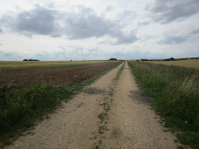
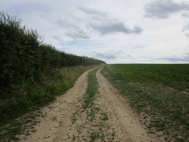
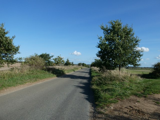
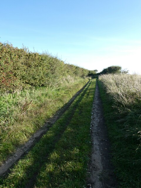
Bircham Plantation Images
Images are sourced within 2km of 52.86868/0.5733863 or Grid Reference TF7333. Thanks to Geograph Open Source API. All images are credited.


Bircham Plantation is located at Grid Ref: TF7333 (Lat: 52.86868, Lng: 0.5733863)
Administrative County: Norfolk
District: King's Lynn and West Norfolk
Police Authority: Norfolk
What 3 Words
///mouse.breathy.pavilions. Near Snettisham, Norfolk
Nearby Locations
Related Wikis
Fring, Norfolk
Fring is a civil parish in the English county of Norfolk. It covers an area of 6.93 km2 (2.68 sq mi) and had a population of 94 in 41 households at the...
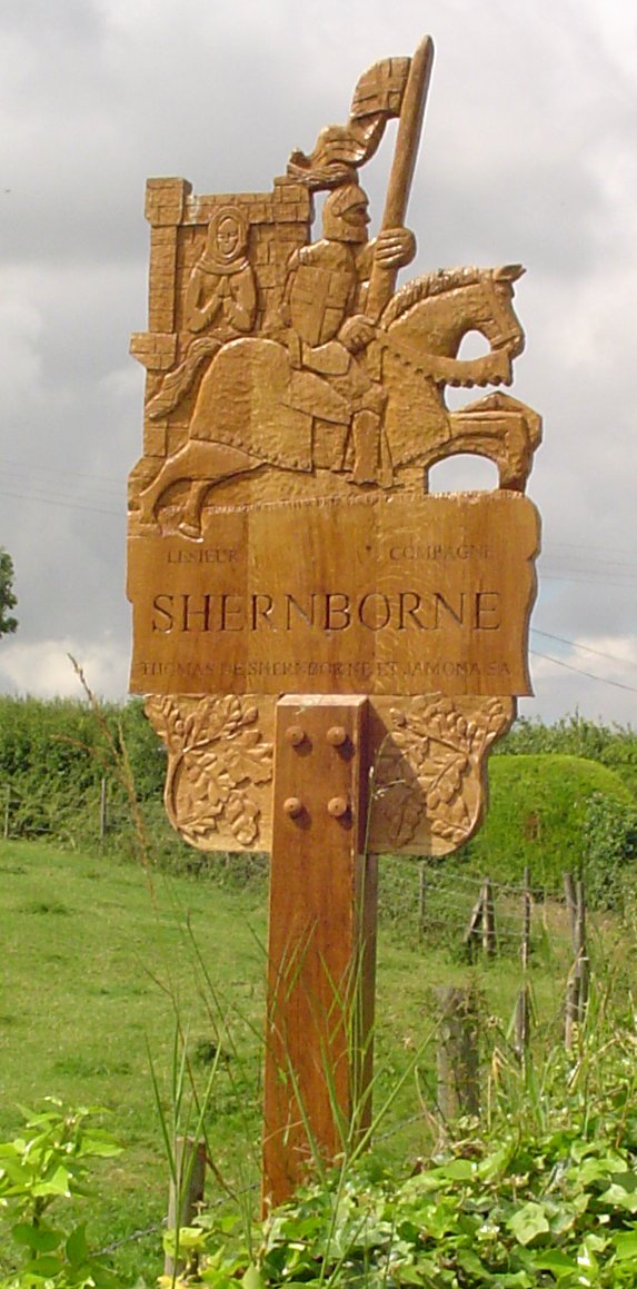
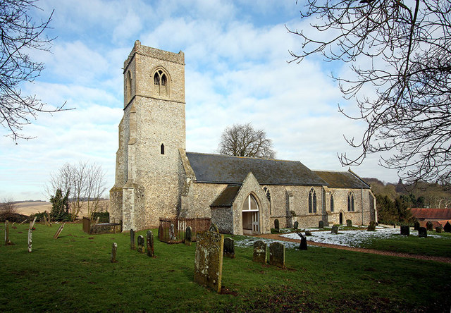
Shernborne
Shernborne is a civil parish in the English county of Norfolk. It covers an area of 5.63 km2 (2.17 sq mi) and had a population of 59 in 24 households at...

Great Bircham Windmill
Great Bircham Windmill is a Grade II listed tower mill in Great Bircham, Norfolk, England. == History == The earliest record of a windmill in Great Bircham...

Bircham Newton
Bircham Newton is the smallest of the three villages that make up the civil parish of Bircham, in the west of the English county of Norfolk. The village...
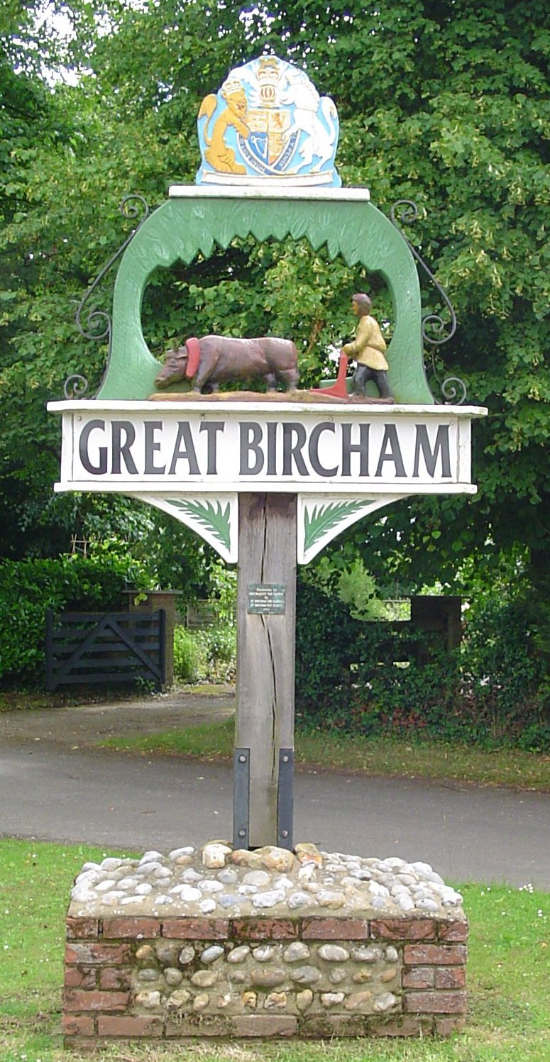
Great Bircham
Great Bircham is the largest of the three villages that make up the civil parish of Bircham, in the west of the English county of Norfolk. The village...

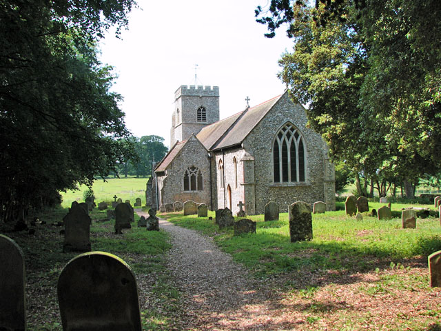
St Mary the Virgin's Church, Great Bircham
St Mary's Church, Great Bircham dates from the 12th-century, and is a Grade I listed parish church in the Church of England Diocese of Norwich in Great...

Anmer Hall
Anmer Hall is a Georgian country house in the village of Anmer in Norfolk, England. Built in the 19th century, it was acquired by the Sandringham Estate...
Anmer
Anmer is a small village and civil parish in the English county of Norfolk. It is around 12 miles (19 km) north-east of the town of King's Lynn and 35...
Nearby Amenities
Located within 500m of 52.86868,0.5733863Have you been to Bircham Plantation?
Leave your review of Bircham Plantation below (or comments, questions and feedback).