Amsbury Wood
Wood, Forest in Kent Maidstone
England
Amsbury Wood
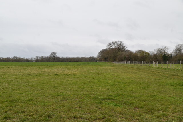
Amsbury Wood, located in the county of Kent in southeast England, is a picturesque woodland area encompassing approximately 90 acres. It is nestled within the larger Blean Woods complex, one of the largest and most diverse ancient woodlands in southern England.
Amsbury Wood boasts an impressive variety of tree species, including oak, beech, and sweet chestnut, creating a rich and diverse habitat for wildlife. The woodland floor is adorned with a carpet of bluebells during the spring, creating a breathtaking sight for visitors.
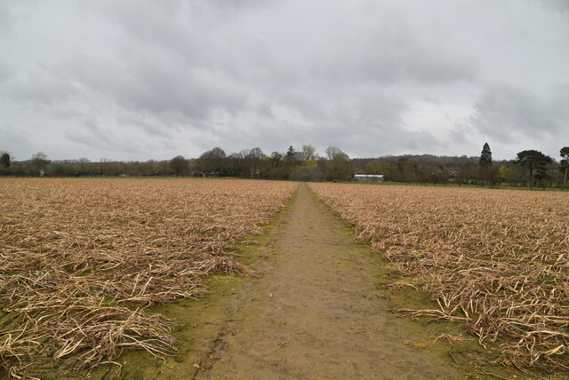
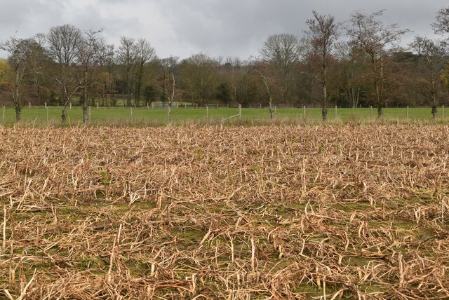
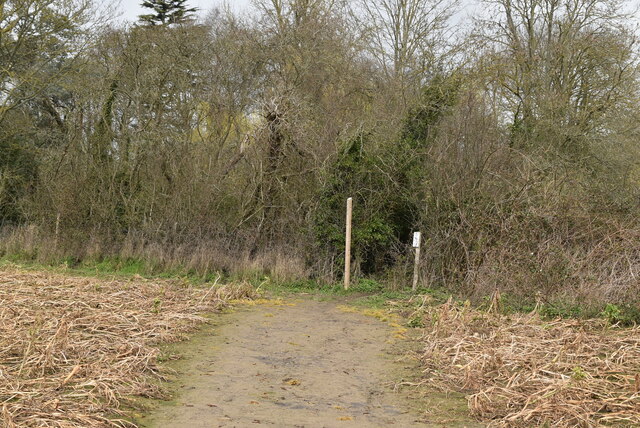
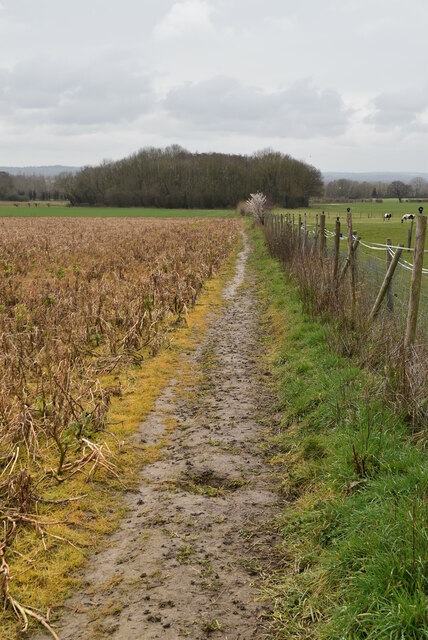
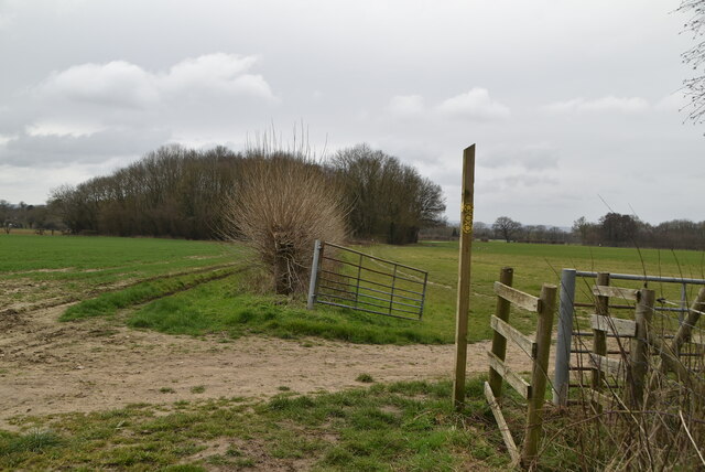
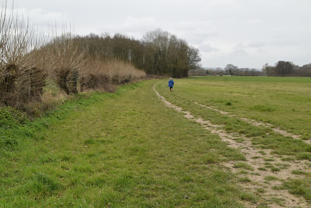
The wood is crisscrossed by a network of footpaths and trails, allowing visitors to explore the area and immerse themselves in the tranquil atmosphere. These paths meander through the tall, majestic trees, offering glimpses of the diverse wildlife that calls Amsbury Wood home. Birdwatchers may spot species such as woodpeckers, nuthatches, and tawny owls, while small mammals like deer, foxes, and badgers may also be seen.
Amsbury Wood is a popular destination for nature enthusiasts and hikers, offering opportunities for peaceful walks and birdwatching. The wood is managed by the Forestry Commission, which ensures the preservation of its natural beauty and biodiversity.
Visitors to Amsbury Wood can also learn about the history and ecology of the area through informative signposts and interpretation boards located throughout the woodland. The wood provides a perfect escape from the hustle and bustle of everyday life, offering a serene and enchanting experience for all who venture into its depths.
If you have any feedback on the listing, please let us know in the comments section below.
Amsbury Wood Images
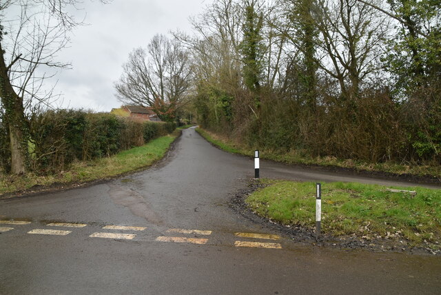
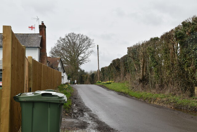
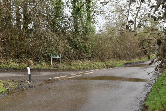
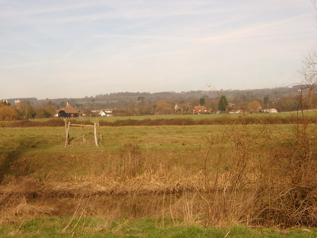
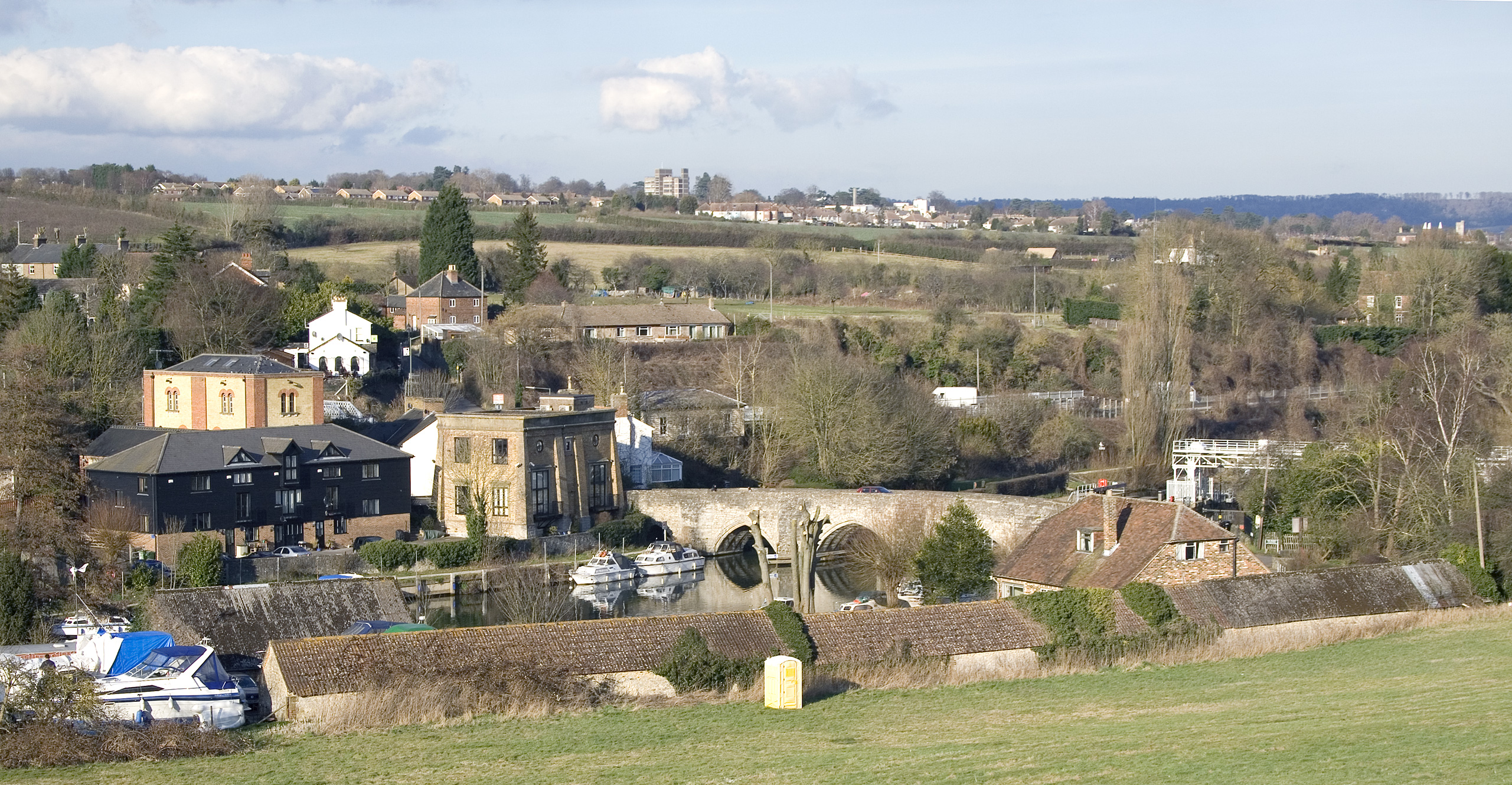
Images are sourced within 2km of 51.229616/0.48035448 or Grid Reference TQ7350. Thanks to Geograph Open Source API. All images are credited.


![Oast Houses Built in 1928, a square oast to the West is the last traditional Victorian style oast with pivoting cowl to have been constructed. Built to replace the round kiln oast adjacent East which was destroyed by fire earlier in 1928. It has since been reconstructed.
More information can be found in &quot;Kentish Oasts&quot; [p74] by R &amp; I Walton.](https://s3.geograph.org.uk/photos/33/06/330643_23d8da73.jpg)

Amsbury Wood is located at Grid Ref: TQ7350 (Lat: 51.229616, Lng: 0.48035448)
Administrative County: Kent
District: Maidstone
Police Authority: Kent
What 3 Words
///thinks.flushed.chaos. Near Yalding, Kent
Nearby Locations
Related Wikis


Nearby Amenities
Located within 500m of 51.229616,0.48035448Have you been to Amsbury Wood?
Leave your review of Amsbury Wood below (or comments, questions and feedback).