Crabtree Plantation

Wood, Forest in Suffolk West Suffolk

England

Crabtree Plantation

Stoke-by-Clare: houses on the west side of The Green The thatched cottages are Grade II listed timber-framed buildings dating from the 17th or 18th century.
Stoke-by-Clare: houses on the west side of The Green Credit: John Sutton

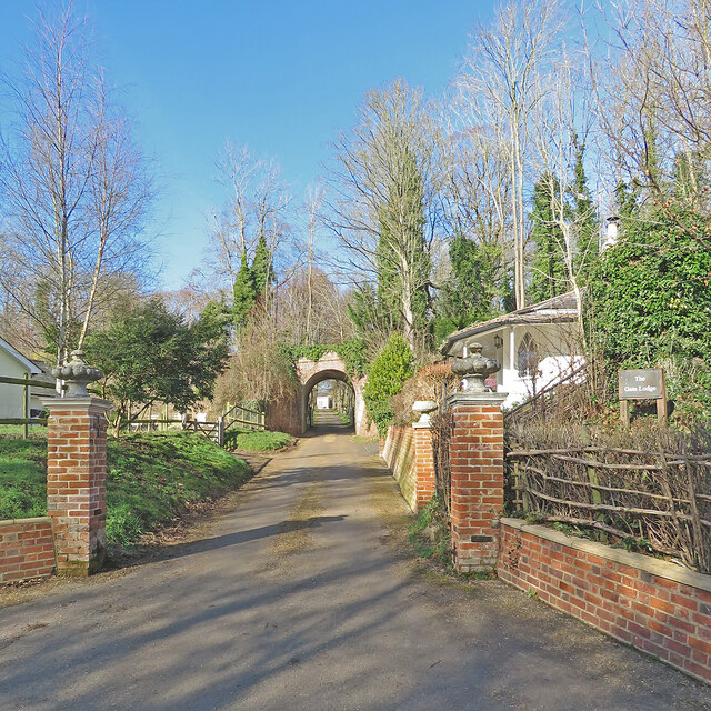
Crabtree Plantation, located in Suffolk, is a scenic woodland area known for its natural beauty and diverse array of plant and animal species. Spread across a vast area, the plantation is a popular destination for nature enthusiasts and those seeking tranquility amidst the lush surroundings.

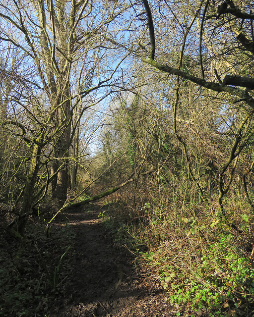
The woodlands of Crabtree Plantation are primarily composed of broad-leaved trees, including oak, ash, and birch, which create a vibrant and picturesque landscape throughout the year. The forest floor is adorned with a rich carpet of wildflowers and ferns, adding to the aesthetic appeal of the area.

The plantation serves as a habitat for various wildlife species, including deer, foxes, rabbits, and a wide variety of bird species. Birdwatchers often flock to Crabtree Plantation to spot rare and migratory birds, making it a haven for ornithologists.

Visitors to Crabtree Plantation can enjoy a range of activities, from leisurely walks along the numerous trails to picnicking amidst the peaceful ambience. The plantation also offers designated spots for camping and fishing, allowing visitors to immerse themselves in the natural surroundings.

Managed by local authorities, Crabtree Plantation ensures the preservation of its natural habitat while also providing educational opportunities. Guided tours and workshops are organized to educate visitors about the importance of conservation and the diverse ecosystem of the area.

In summary, Crabtree Plantation in Suffolk is a stunning woodland area that offers a tranquil escape from urban life. With its diverse flora and fauna, it provides a valuable habitat for wildlife and serves as a recreational haven for outdoor enthusiasts.

If you have any feedback on the listing, please let us know in the comments section below.

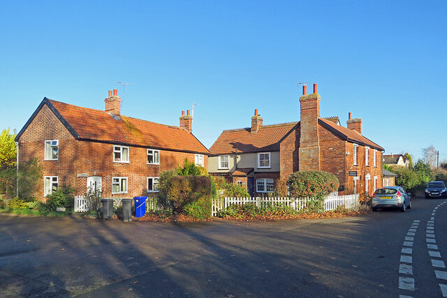
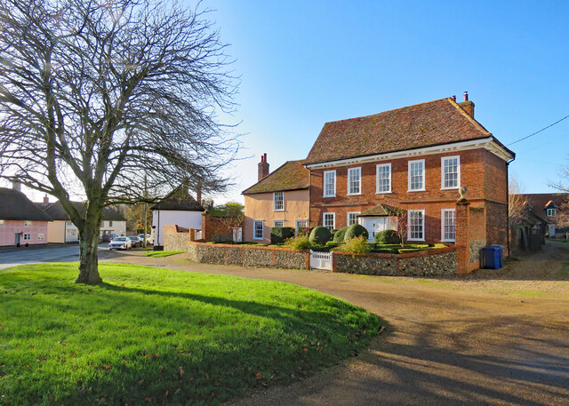
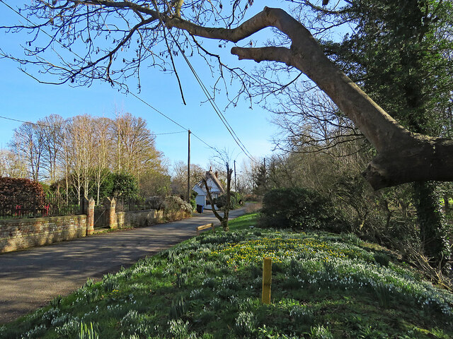
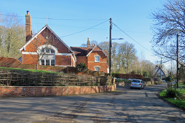
Crabtree Plantation Images

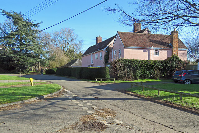
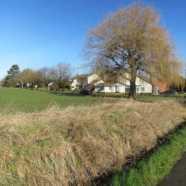
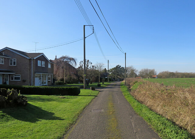
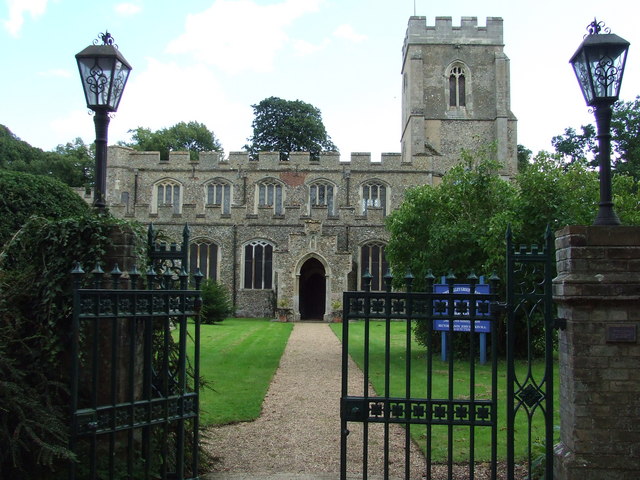
Images are sourced within 2km of 52.068873/0.52538235 or Grid Reference TL7344. Thanks to Geograph Open Source API. All images are credited.

Stoke-by-Clare: houses on the west side of The Green The thatched cottages are Grade II listed timber-framed buildings dating from the 17th or 18th century.
Stoke-by-Clare: houses on the west side of The Green
The thatched cottages are Grade II listed timber-framed buildings dating from the 17th or 18th century.
Stoke-by-Clare: sloping fields north of the village Looking uphill from the footpath which begins on the north side of The Green.
Stoke-by-Clare: sloping fields north of the village
Looking uphill from the footpath which begins on the north side of The Green.
Stoke-by-Clare: on the north side of The Green Some of a number of Grade II listed 17th-century timber-framed thatched houses in the village.
Stoke-by-Clare: on the north side of The Green
Some of a number of Grade II listed 17th-century timber-framed thatched houses in the village.
Stoke-by-Clare: across The Green A crisp and cloudless morning in late November.
Stoke-by-Clare: across The Green
A crisp and cloudless morning in late November.
Stoke-by-Clare: Tavern Cottage Until 1976 this was The Railway Tavern. Stoke-by-Clare station, on the long-closed Cambridge-Colchester Stour Valley line, was nearby, on the other side of the main road. It is now a private house.
Stoke-by-Clare: Tavern Cottage
Until 1976 this was The Railway Tavern. Stoke-by-Clare station, on the long-closed Cambridge-Colchester Stour Valley line, was nearby, on the other side of the main road. It is now a private house.
Stoke-by-Clare: where the railway once ran The modern pink house stands on what was, until 1967, the trackbed of the Colchester-Cambridge Stour Valley railway. Stoke-by-Clare station was behind the camera, on the other side of the main road. The building is now a private house. The cottages on the right of this picture, behind the silver car, are Railway Terrace.

Robert Walden's <a href="https://www.geograph.org.uk/photo/2019292">TL7443 : Disused railway 1972</a> shows the same scene five years after the line closed, when the trackbed across The Green had already been reclaimed.
Stoke-by-Clare: where the railway once ran
The modern pink house stands on what was, until 1967, the trackbed of the Colchester-Cambridge Stour Valley railway. Stoke-by-Clare station was behind the camera, on the other side of the main road. The building is now a private house. The cottages on the right of this picture, behind the silver car, are Railway Terrace. Robert Walden's TL7443 : Disused railway 1972 shows the same scene five years after the line closed, when the trackbed across The Green had already been reclaimed.
Stoke-by-Clare: allotments A cloudless morning in late November.
Stoke-by-Clare: allotments
A cloudless morning in late November.
Stoke-by-Clare: The Street Looking towards Haverhill and Cambridge on a cloudless late-November morning. These are some of the many Grade II and II* historic houses in the village.
Stoke-by-Clare: The Street
Looking towards Haverhill and Cambridge on a cloudless late-November morning. These are some of the many Grade II and II* historic houses in the village.
Stoke-by-Clare: Green Farmhouse Green Farmhouse is a Grade II* listed 18th-century house, "probably with an earlier core and rear" according to the listing text. Colours were intense on a bright late-November morning.
Stoke-by-Clare: Green Farmhouse
Green Farmhouse is a Grade II* listed 18th-century house, "probably with an earlier core and rear" according to the listing text. Colours were intense on a bright late-November morning.
Wixoe: snowdrops and aconites on the verge The C17-C18 timber-framed thatched house in the middle distance is Grade II listed.
Wixoe: snowdrops and aconites on the verge
The C17-C18 timber-framed thatched house in the middle distance is Grade II listed.
Wixoe: The Old School The former village school, at the eastern end of the village.
Wixoe: The Old School
The former village school, at the eastern end of the village.
Wixoe: The Gate Lodge and a former railway bridge The Gate Lodge to Floriston Hall dates from the early 19th century, has pointed Gothick windows and is Grade II listed. There is a glimpse of the 19th-century Hall, also Grade II listed, through the railway arch. The bridge carried the Cambridge-Colchester Stour Valley Line until the Shelford to Sudbury section closed in 1967.
Wixoe: The Gate Lodge and a former railway bridge
The Gate Lodge to Floriston Hall dates from the early 19th century, has pointed Gothick windows and is Grade II listed. There is a glimpse of the 19th-century Hall, also Grade II listed, through the railway arch. The bridge carried the Cambridge-Colchester Stour Valley Line until the Shelford to Sudbury section closed in 1967.
Wixoe: once a railway cutting This overgrown cutting was, until the Sudbury to Shelford section closed in 1967, part of the Colchester-Cambridge (ahead) Stour Valley route.
Wixoe: once a railway cutting
This overgrown cutting was, until the Sudbury to Shelford section closed in 1967, part of the Colchester-Cambridge (ahead) Stour Valley route.
Wixoe: Church View Bright sunlight and deep shadows on a fine February morning.
Wixoe: Church View
Bright sunlight and deep shadows on a fine February morning.
Wixoe: Church Terrace Houses west of the church.
Wixoe: Church Terrace
Houses west of the church.
Wixoe: The Old Rectory "A C17 timber-framed and plastered house altered in the C18 and later. Two storeys. The windows are mainly casements. A C20 door has a lattice porch and a double-hung sash window above, with architrave and pediment" (Grade II listing text).
Wixoe: The Old Rectory
"A C17 timber-framed and plastered house altered in the C18 and later. Two storeys. The windows are mainly casements. A C20 door has a lattice porch and a double-hung sash window above, with architrave and pediment" (Grade II listing text).
Wixoe: near the corner of Stour Vale The willow at the corner of Stour Vale is winter yellow - but a closer look showed the tiniest traces of uncurling spring green in some leaves.
Wixoe: near the corner of Stour Vale
The willow at the corner of Stour Vale is winter yellow - but a closer look showed the tiniest traces of uncurling spring green in some leaves.
Wixoe: the road to Sturmer The western end of the village on a bright morning in February.
Wixoe: the road to Sturmer
The western end of the village on a bright morning in February.
Show me another place!

Crabtree Plantation is located at Grid Ref: TL7344 (Lat: 52.068873, Lng: 0.52538235)

Administrative County: Suffolk

District: West Suffolk

Police Authority: Suffolk

What 3 Words

///mills.coping.relished. Near Kedington, Suffolk

Related Wikis

Stoke-by-Clare

Stoke-by-Clare is a small village and civil parish in Suffolk located in the valley of the River Stour, about two miles west of Clare.In 1124 Richard...

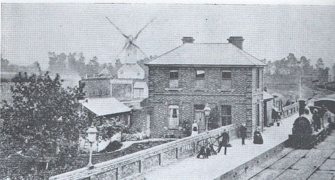
Stoke railway station (Suffolk)

Stoke railway station was a station that served the village of Stoke-by-Clare in Suffolk, England. It opened in 1865 on the Stour Valley Railway between...

Boyton End, Suffolk

Boyton End is a hamlet in Suffolk, England. Boyton was recorded in the Domesday Book as Alia Boituna. == References ==

Stoke College

Stoke College in Stoke-by-Clare, near Haverhill, Suffolk, England, is a co-educational day school for children aged 11 to 18, with boarding for children...

Nearby Amenities

Located within 500m of 52.068873,0.52538235
Power: pole
Lat/Long: 52.0721288/0.5213652
Power: pole
Lat/Long: 52.0728689/0.5261638
Power: pole
Lat/Long: 52.0723447/0.5233098
Power: pole
Lat/Long: 52.0724585/0.5232803
Power: pole
Lat/Long: 52.0727238/0.5262174
Power: pole
Lat/Long: 52.0729579/0.5279877
The data included in this document is from www.openstreetmap.org. The data is made available under ODbL.

Have you been to Crabtree Plantation?

Leave your review of Crabtree Plantation below (or comments, questions and feedback).