Chalkhall Belt
Wood, Forest in Norfolk King's Lynn and West Norfolk
England
Chalkhall Belt

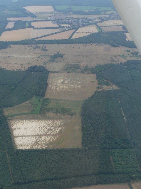
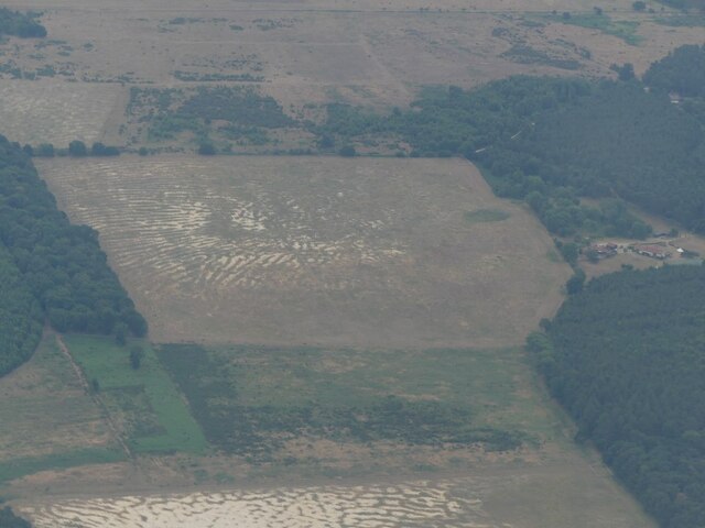
Chalkhall Belt is a small woodland area located in Norfolk, England. Situated near the village of Wood, this forested area covers approximately 100 acres of land. The belt is predominantly composed of chalk, giving it its name.
The woodland consists of a mixture of deciduous and coniferous trees, creating a diverse and rich ecosystem. Oak, beech, and ash trees are commonly found here, along with Scots pine and larch. The forest floor is adorned with an array of wildflowers, adding to the natural beauty of the area. The presence of these trees and flowers provide a habitat for a variety of wildlife, including birds, squirrels, rabbits, and deer.
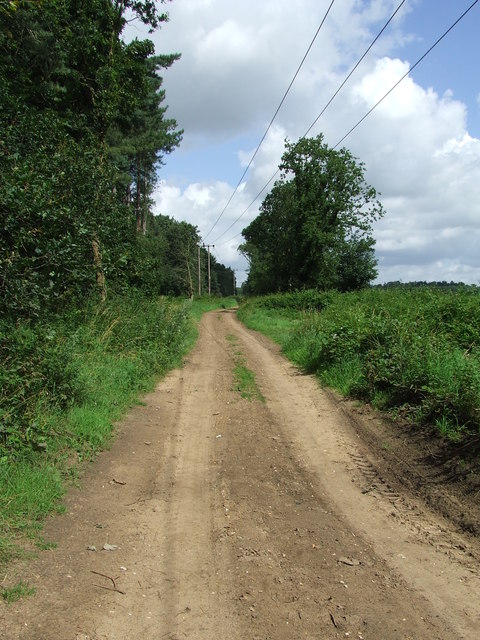
Chalkhall Belt is a popular destination for nature enthusiasts and hikers, offering picturesque walking trails that wind their way through the woods. These trails provide ample opportunities for visitors to immerse themselves in the tranquility of nature and enjoy the peaceful surroundings.
The woodland is also of historical significance, as remnants of ancient settlements and archaeological sites have been discovered within its boundaries. These discoveries indicate that the area has been inhabited since prehistoric times, adding an additional layer of intrigue to Chalkhall Belt.
Overall, Chalkhall Belt in Norfolk is a charming woodland area that offers a tranquil escape from the hustle and bustle of everyday life. With its diverse flora and fauna, scenic trails, and historical significance, it is a place of natural beauty and interest for visitors to explore and enjoy.
If you have any feedback on the listing, please let us know in the comments section below.
Chalkhall Belt Images
Images are sourced within 2km of 52.473944/0.54773856 or Grid Reference TL7389. Thanks to Geograph Open Source API. All images are credited.


Chalkhall Belt is located at Grid Ref: TL7389 (Lat: 52.473944, Lng: 0.54773856)
Administrative County: Norfolk
District: King's Lynn and West Norfolk
Police Authority: Norfolk
What 3 Words
///tapes.tuck.chestnuts. Near Hockwold cum Wilton, Norfolk
Nearby Locations
Related Wikis

Hockwold cum Wilton
Hockwold cum Wilton ("Hock/mallow wood and willow-tree farm/settlement") is 10 miles west of Thetford, Norfolk, England and is in the borough of King's...

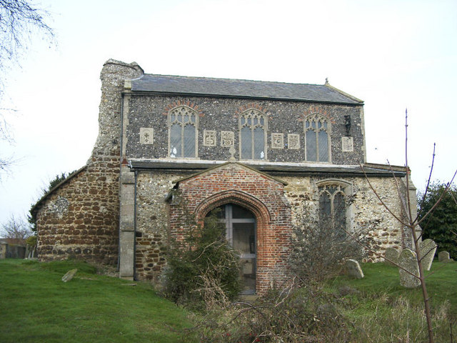
St Peter's Church, Hockwold
St Peter's Church is a redundant Anglican church in the village of Hockwold cum Wilton in Norfolk, England. It is recorded in the National Heritage List...

RAF Feltwell
Royal Air Force Feltwell or more simply RAF Feltwell is a Royal Air Force station in Norfolk, East Anglia that is used by the United States Air Forces...
Feltwell
Feltwell is a village and civil parish in the English county of Norfolk. The village is located 11 miles (18 km) north-west of Thetford and 34 miles (55...
St Nicholas Church, Feltwell
St Nicholas Church is a redundant Anglican church in the village of Feltwell, Norfolk, England. It is recorded in the National Heritage List for England...

Weeting Heath
Weeting Heath is a 141.8-hectare (350-acre) biological Site of Special Scientific Interest west of Thetford in Norfolk, which is managed by the Norfolk...
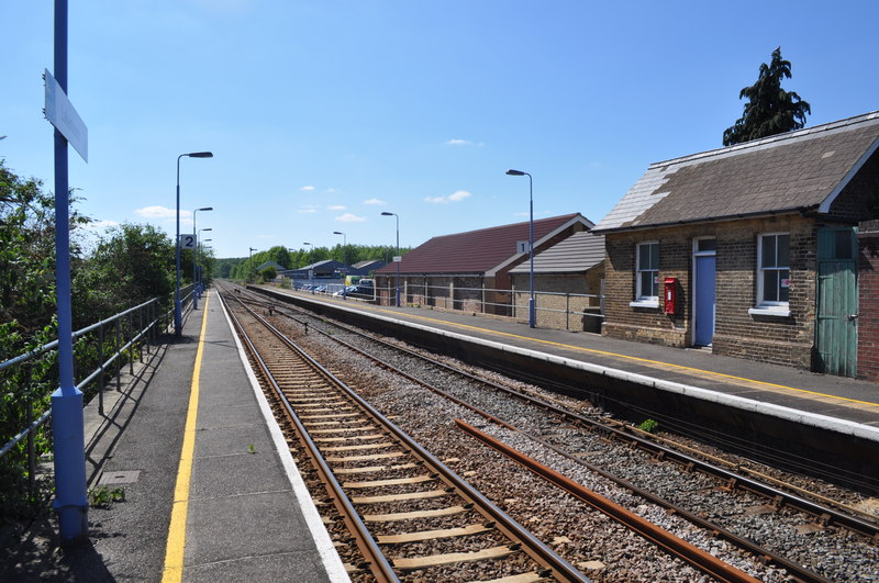
Lakenheath railway station
Lakenheath railway station is on the Breckland Line in the east of England, serving the village of Lakenheath, Suffolk. The line runs between Cambridge...

Lakenheath Fen RSPB reserve
Lakenheath Fen RSPB reserve is located on the Norfolk/Suffolk border in England, between Lakenheath and Hockwold cum Wilton adjacent to Lakenheath railway...
Nearby Amenities
Located within 500m of 52.473944,0.54773856Have you been to Chalkhall Belt?
Leave your review of Chalkhall Belt below (or comments, questions and feedback).