Buxton Plantation
Wood, Forest in Norfolk King's Lynn and West Norfolk
England
Buxton Plantation

Buxton Plantation is a historic woodland located in Norfolk, England. Covering a vast area, it is considered one of the oldest and most well-preserved forests in the region. The plantation is situated in the village of Buxton, a rural area renowned for its picturesque landscapes and natural beauty.
The woodland is characterized by its dense tree cover, predominantly consisting of oak, beech, and pine trees. These towering giants create a lush and vibrant environment, providing ample shade and shelter for various wildlife species. The forest floor is adorned with a diverse array of flora, including ferns, bluebells, and wild roses, adding to the enchanting atmosphere.
Buxton Plantation has a rich history dating back several centuries. It was initially established as a hunting ground for local nobility, and remnants of medieval hunting lodges can still be found within its boundaries. Over the years, the forest has witnessed extensive human activity, including timber harvesting and charcoal production. However, conservation efforts have successfully preserved the plantation's natural integrity and ecological balance.
Today, Buxton Plantation serves as a haven for nature enthusiasts, offering numerous walking trails and picnic areas. Its tranquil ambiance and serene surroundings make it a popular destination for those seeking respite from the bustling city life. Visitors can explore the forest's hidden delights, from stumbling upon ancient tree stumps to encountering elusive wildlife like deer, foxes, and a variety of bird species.
Overall, Buxton Plantation stands as a testament to Norfolk's rich natural heritage, captivating visitors with its timeless beauty and providing a glimpse into a bygone era.
If you have any feedback on the listing, please let us know in the comments section below.
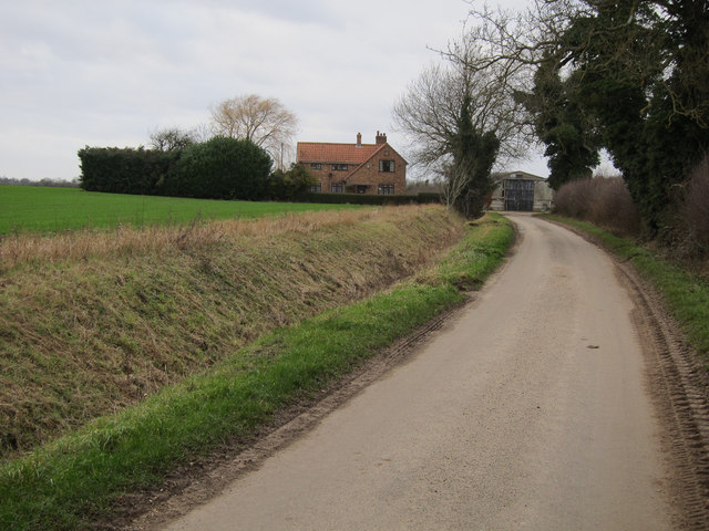
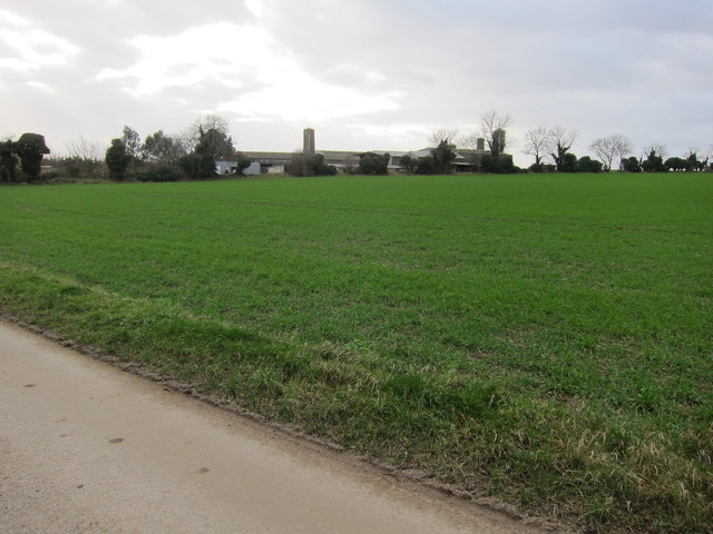
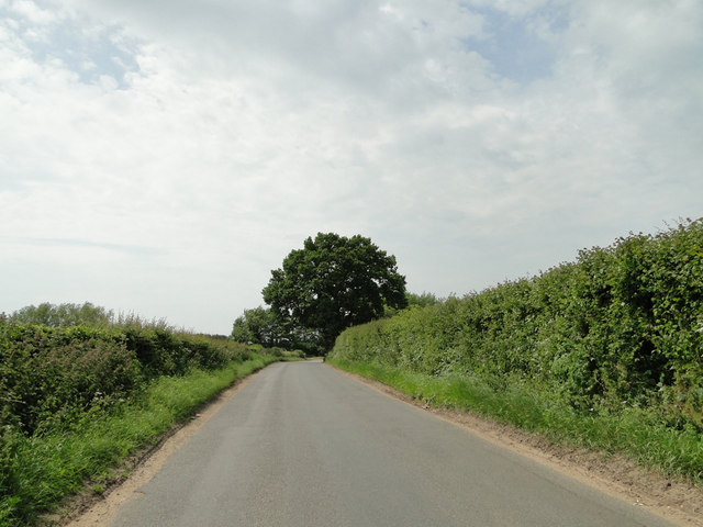
Buxton Plantation Images
Images are sourced within 2km of 52.546102/0.55086967 or Grid Reference TL7397. Thanks to Geograph Open Source API. All images are credited.


Buxton Plantation is located at Grid Ref: TL7397 (Lat: 52.546102, Lng: 0.55086967)
Administrative County: Norfolk
District: King's Lynn and West Norfolk
Police Authority: Norfolk
What 3 Words
///video.bulletins.resonated. Near Stoke Ferry, Norfolk
Nearby Locations
Related Wikis

Northwold
Northwold ("North forest") is a village and civil parish in the English county of Norfolk. It covers an area of 19.72 km2 (7.61 sq mi) and had a population...

Iceni Academy
The Iceni Academy (formerly Hockwold and Methwold Community School) is a mixed, all-through school located over two sites in Norfolk, England. == History... ==

River Gadder
The River Gadder is 10.4 km (6.5 mi) long tributary of the River Wissey. It rises from a tiny headwater in the north-east of the parish of Cockley Cley...

St Andrew's Church, Northwold
St Andrew's Church is an active Church of England parish church in the village of Northwold, Norfolk, England. It is a Grade I listed building. ��2...
Nearby Amenities
Located within 500m of 52.546102,0.55086967Have you been to Buxton Plantation?
Leave your review of Buxton Plantation below (or comments, questions and feedback).