Broom Covert

Wood, Forest in Norfolk King's Lynn and West Norfolk

England

Broom Covert

Lyng Farm: the track from the main lane
Lyng Farm: the track from the main lane Credit: Christopher Hilton

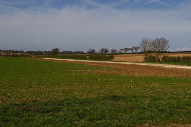
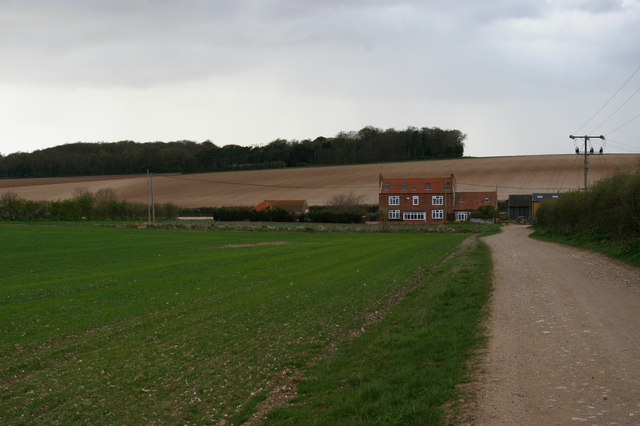
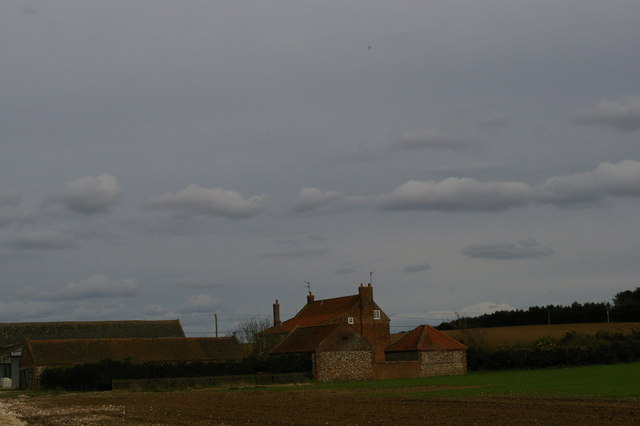
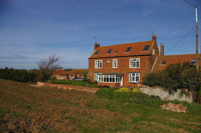
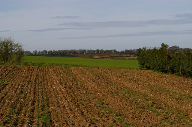
Broom Covert is a charming woodland located in Norfolk, England. Situated in the heart of the county, it covers an area of approximately 100 acres. This ancient woodland is known for its lush greenery, diverse flora, and tranquil atmosphere, attracting nature enthusiasts and walkers alike.

The woodland is predominantly composed of native tree species such as oak, birch, and beech, creating a dense canopy that provides shade and shelter for the wildlife inhabiting the area. Broom Covert is home to a wide variety of plant life, including bluebells, wild garlic, and ferns, which flourish in the damp and fertile soil.

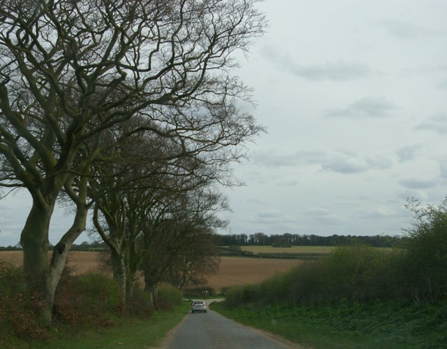
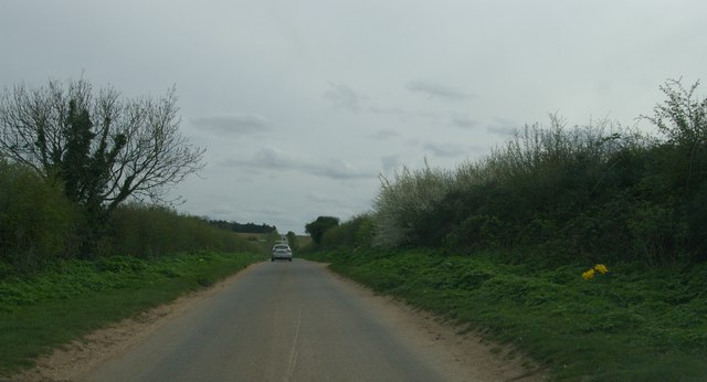
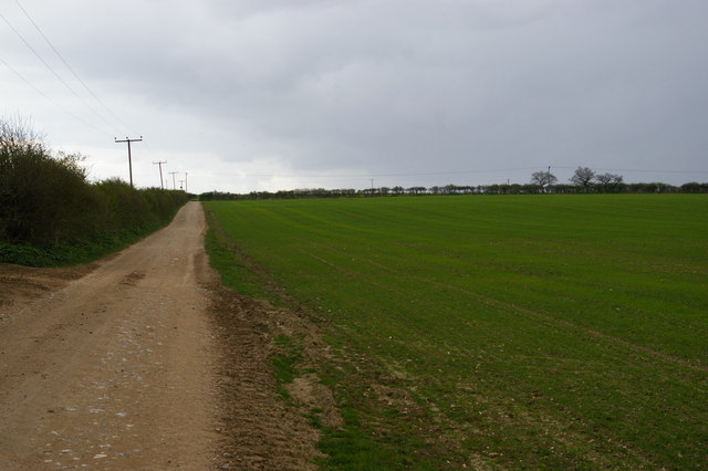
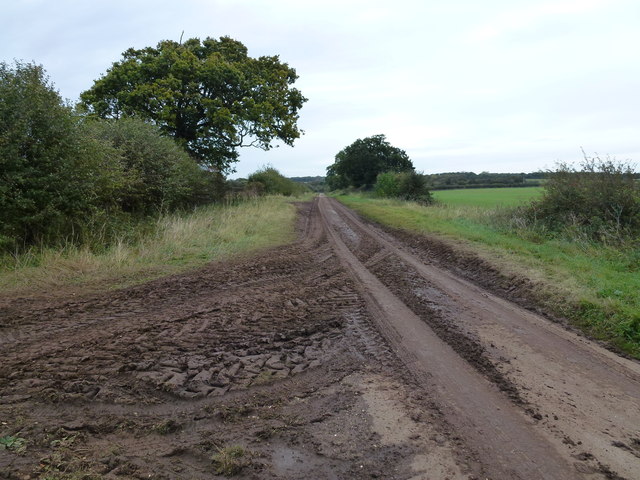
The woodland is crisscrossed by a network of well-maintained footpaths, enabling visitors to explore its beauty at their own pace. These paths wind through the trees, leading to hidden clearings, babbling brooks, and picturesque ponds. The tranquil atmosphere is occasionally interrupted by the songs of birds such as woodpeckers, thrushes, and warblers, adding to the enchanting ambiance.

Broom Covert is not only a haven for flora and fauna but also serves as a recreational space for visitors. It offers picnic areas and benches, providing the perfect spot for a leisurely lunch surrounded by nature. The woodland also hosts various educational programs and guided walks, allowing visitors to learn more about the local ecology and history.

With its natural beauty and serene ambiance, Broom Covert is a delightful destination for those seeking a peaceful escape in the heart of Norfolk's woodlands. Whether you are a nature lover, a keen walker, or simply looking to unwind in a picturesque setting, this enchanting woodland is sure to captivate your senses.

If you have any feedback on the listing, please let us know in the comments section below.
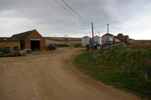
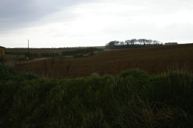
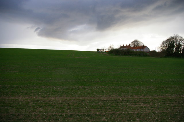
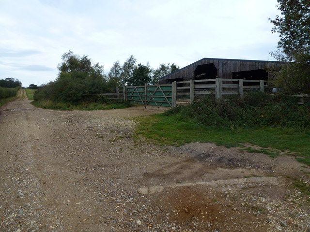
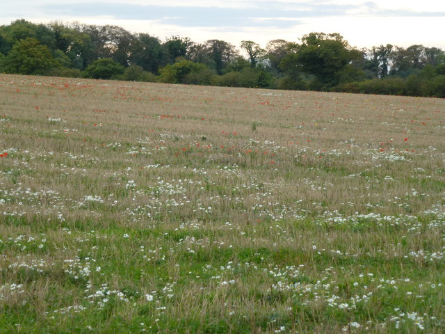
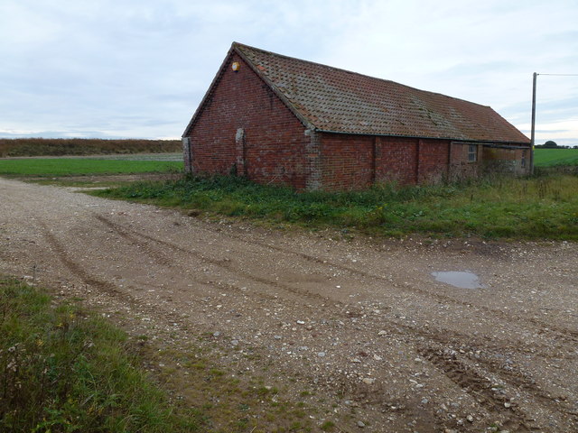
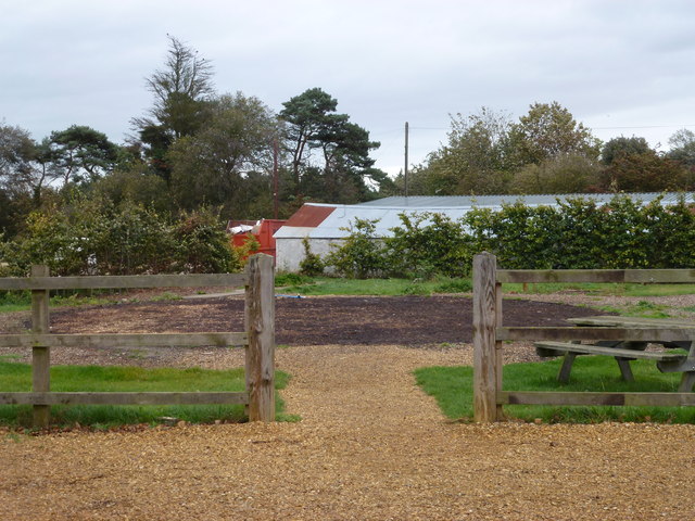
Broom Covert Images

Images are sourced within 2km of 52.944333/0.57355889 or Grid Reference TF7341. Thanks to Geograph Open Source API. All images are credited.

Lyng Farm: the track from the main lane
Beech avenue, on the lane descending Beacon Hill Taken from a moving car whose windscreen was not 100% clean...
Beech avenue, on the lane descending Beacon Hill
Taken from a moving car whose windscreen was not 100% clean...
Lane up Beacon Hill
Lane up Beacon Hill
Lyng Farm from south Now a holiday cottage.
Lyng Farm from south
Now a holiday cottage.
Track climbing away from Lyng Farm
Agricultural buildings by Lyng Farm Although Lyng Farm itself is now a holiday cottage, the land around it forms part of the combined Thornham Farms and a complex of agricultural buildings is still in use adjacent to the former farmhouse.
Agricultural buildings by Lyng Farm
Although Lyng Farm itself is now a holiday cottage, the land around it forms part of the combined Thornham Farms and a complex of agricultural buildings is still in use adjacent to the former farmhouse.
Track leading east away from Lyng Farm
Cottages south of Lyng Farm
Lyng Farm from the west Now a holiday cottage.
Lyng Farm from the west
Now a holiday cottage.
Lyng Farm from the south-east Now a holiday cottage.
Lyng Farm from the south-east
Now a holiday cottage.
Field south of Lyng Farm, from the access track
"Caution Mud on Road" near Ringstead, Norfolk Burnham Road east of Ringstead. Little or no effort appears to have been make to clear this metalled lane surface covered in soil from potato harvesting. At least there was a caution sign on the roadside.
"Caution Mud on Road" near Ringstead, Norfolk
Burnham Road east of Ringstead. Little or no effort appears to have been make to clear this metalled lane surface covered in soil from potato harvesting. At least there was a caution sign on the roadside.
Cattle shed and track near Courtyard Farm On Burnham Road east of Ringstead, Norfolk
Cattle shed and track near Courtyard Farm
On Burnham Road east of Ringstead, Norfolk
Wild flowers at Courtyard Farm, Ringstead
Brick barn on Burnham Road East of Ringstead. There is a recently constructed reservoir behind the bank on the horizon
Brick barn on Burnham Road
East of Ringstead. There is a recently constructed reservoir behind the bank on the horizon
The Yurt at Thornham - It's Gone !!! In true nomadic style the Yurt restaurant has been packed away and is currently awaiting erection elsewhere.  <a title="https://www.geograph.org.uk/photo/1912616" href="https://www.geograph.org.uk/photo/1912616">Link</a>
The Yurt at Thornham - It's Gone !!!
In true nomadic style the Yurt restaurant has been packed away and is currently awaiting erection elsewhere. Link
Old Milestone Old milestone on the A149 at Thornham, Norfolk. For overall view see <a title="https://www.geograph.org.uk/photo/2667431" href="https://www.geograph.org.uk/photo/2667431">Link</a>
Old Milestone
Old milestone on the A149 at Thornham, Norfolk. For overall view see Link
Kings Lynn 20 Old milestone on the A149 at Thornham, Norfolk. For close up view see <a title="https://www.geograph.org.uk/photo/2667429" href="https://www.geograph.org.uk/photo/2667429">Link</a>
Kings Lynn 20
Old milestone on the A149 at Thornham, Norfolk. For close up view see Link
Show me another place!

Broom Covert is located at Grid Ref: TF7341 (Lat: 52.944333, Lng: 0.57355889)

Administrative County: Norfolk

District: King's Lynn and West Norfolk

Police Authority: Norfolk

What 3 Words

///crispy.profiled.cavalier. Near Hunstanton, Norfolk

Nearby Locations

Beacon Hill Broom Covert

Related Wikis

Choseley

Choseley is a tiny hamlet and civil parish in the English county of Norfolk. It is situated between the villages of Titchwell and Docking and about 4 kilometres...
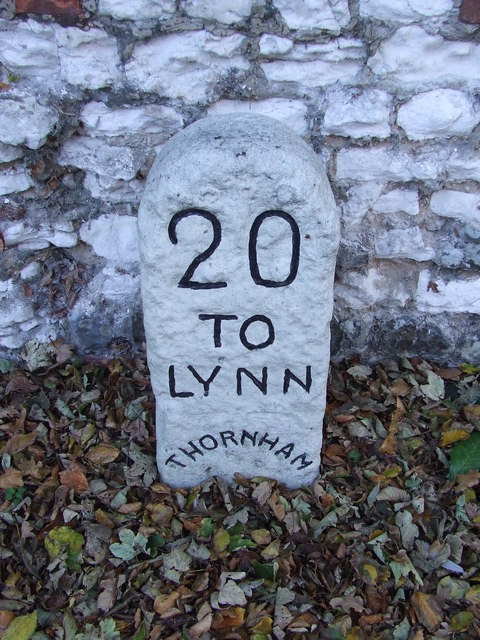
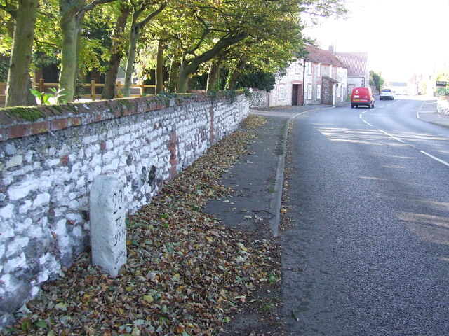
Thornham, Norfolk

Thornham is a village and civil parish in the English county of Norfolk. It is situated on the north Norfolk coast some 7 kilometres (4.3 mi) north-east...

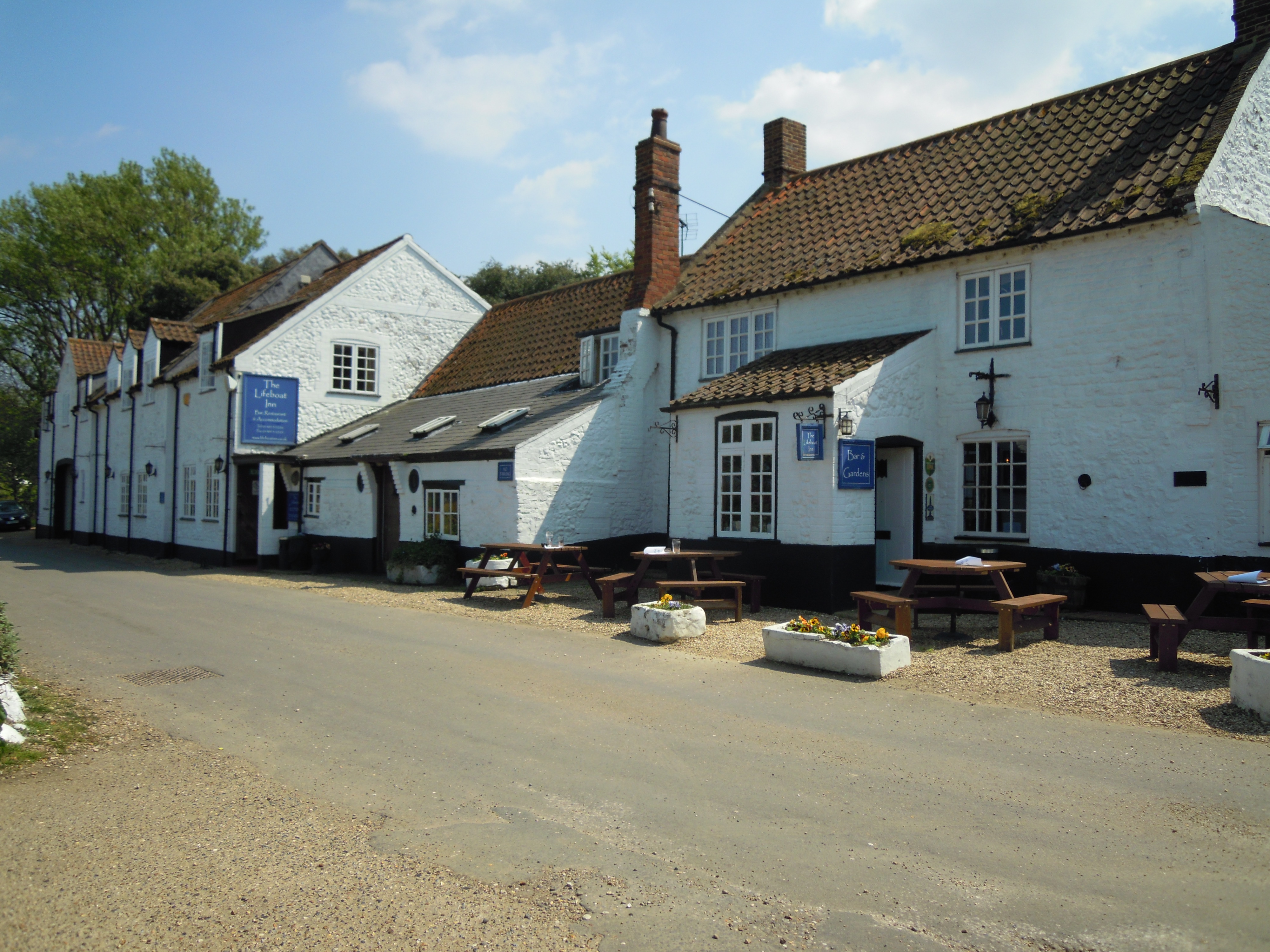
The Lifeboat Inn, Thornham

The Lifeboat Inn is a public house and inn in Ship Lane, Thornham, Norfolk, England. It lies near the wooded grounds of Thornham Manor. The white-painted...
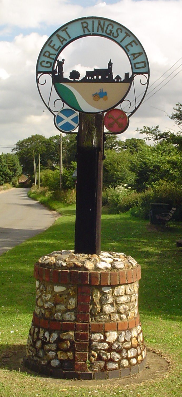
Ringstead, Norfolk

Ringstead is a village and civil parish in the north-west corner of the English county of Norfolk. It covers an area of 11.13 km2 (4.30 sq mi) and had...

Holme-next-the-Sea

Holme-next-the-Sea is a small village and civil parish in the English county of Norfolk. It is situated on the north Norfolk coast some 5 km north-east...

Titchwell Marsh

Titchwell Marsh is an English nature reserve owned and managed by the Royal Society for the Protection of Birds (RSPB). Located on the north coast of the...

St Mary's Church, Holme-next-the-Sea

St Mary's Church is the parish church of Holme-next-the-Sea in the English county of Norfolk. It is dedicated to the Virgin Mary. The church is partly...

River Hun

The River Hun is in the west of the county of Norfolk, in England. Its source is in the grounds of Hunstanton Park. Its mouth can be found on the North...

Nearby Amenities

Located within 500m of 52.944333,0.57355889
Beacon Hill
Place: locality
Lat/Long: 52.9449288/0.5804146
Communication Mobile Phone: yes
Man Made: mast
Material: metal
Operator: O2-UK;Vodafone UK
Tower Construction: lattice
Tower Type: communication
Lat/Long: 52.9463773/0.5785283
Power: pole
Lat/Long: 52.9476172/0.5786552
Power: pole
Lat/Long: 52.9463448/0.5769446
Power: pole
Lat/Long: 52.9469792/0.5777757
The data included in this document is from www.openstreetmap.org. The data is made available under ODbL.

Have you been to Broom Covert?

Leave your review of Broom Covert below (or comments, questions and feedback).