Field
Settlement in Somerset Mendip
England
Field
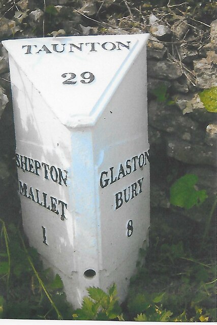
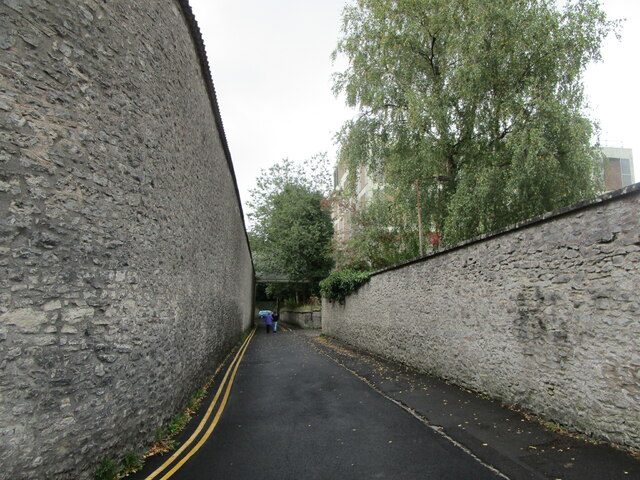
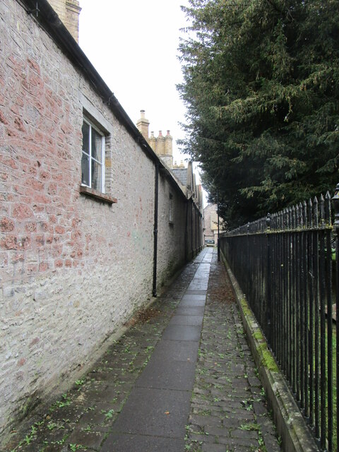
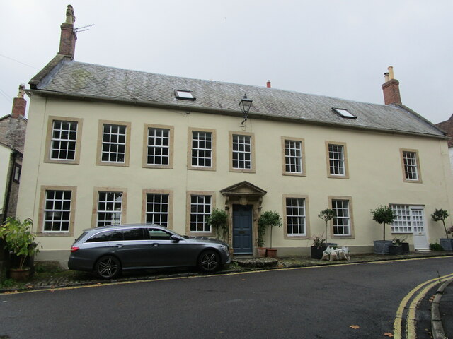
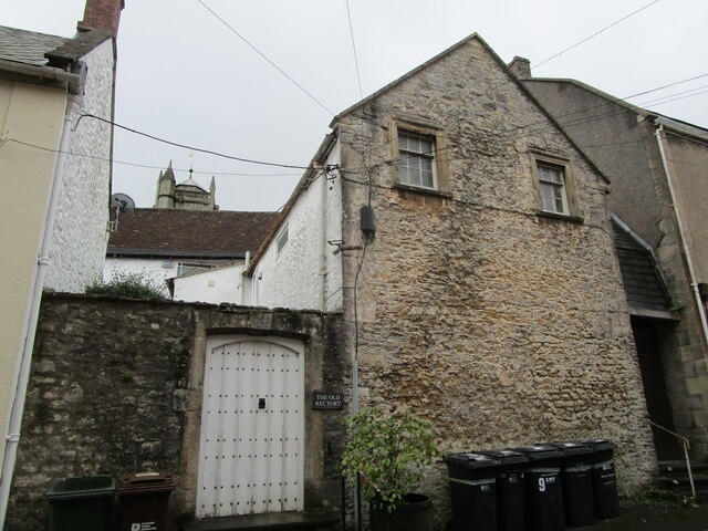
Field is a small village located in the county of Somerset, England. Situated in the picturesque Mendip Hills, it lies approximately 7 miles south of the town of Shepton Mallet and 11 miles northeast of the city of Wells. The village is nestled in a rural setting, surrounded by rolling hills and farmland, providing residents with a tranquil and idyllic living environment.
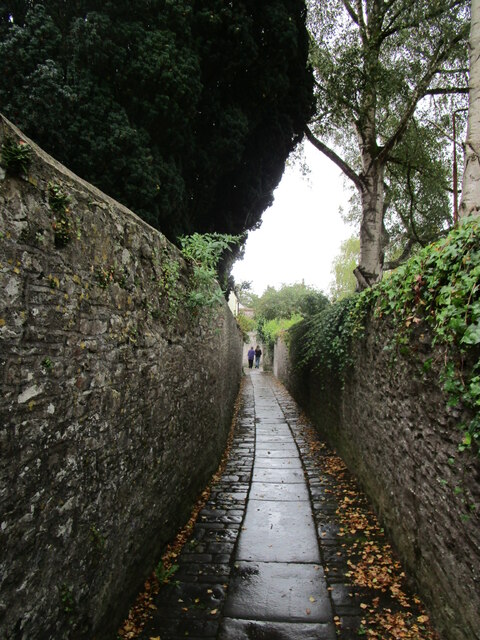
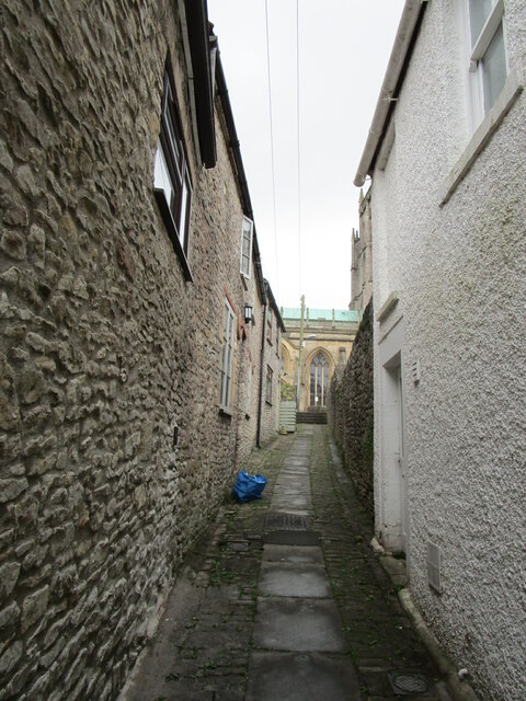
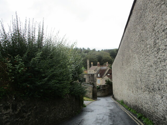
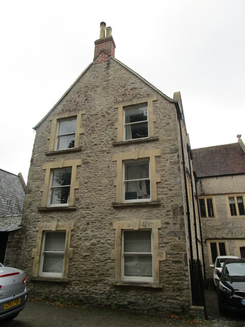
Field is known for its charming and traditional architecture, with many of its buildings constructed from local stone, giving the village a quintessential English countryside feel. The village is relatively small in size, with a close-knit community that fosters a strong sense of community spirit and belonging.
Despite its small size, Field offers a range of amenities to its residents. These include a village hall, a primary school, and a local pub that serves as a hub for social gatherings and community events. The village is well-connected to nearby towns and cities by a network of major roads, ensuring convenient access to essential services and amenities.
The surrounding countryside offers ample opportunities for outdoor activities and exploration. The Mendip Hills, designated as an Area of Outstanding Natural Beauty, provide breathtaking views and a variety of walking and cycling trails. Additionally, the nearby Cheddar Gorge, a dramatic limestone gorge, is a popular tourist attraction known for its caves and stunning natural formations.
With its picturesque setting, strong community ties, and easy access to both rural and urban amenities, Field offers residents a desirable lifestyle in the heart of the Somerset countryside.
If you have any feedback on the listing, please let us know in the comments section below.
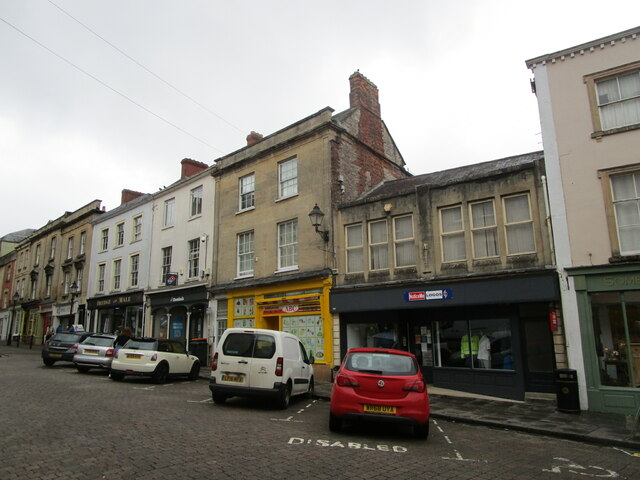
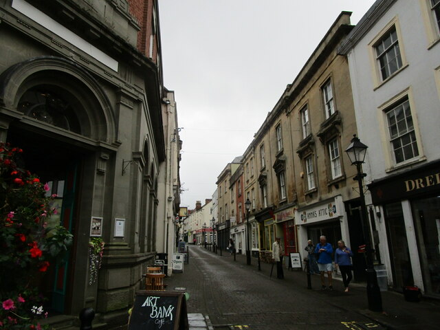
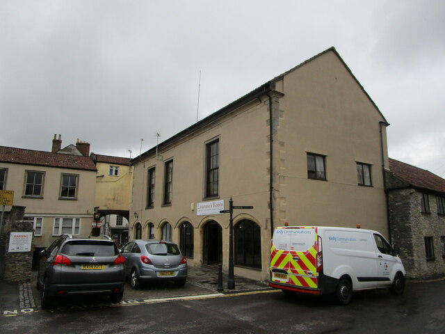
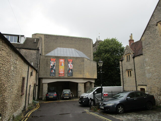
Field Images
Images are sourced within 2km of 51.185707/-2.54583 or Grid Reference ST6143. Thanks to Geograph Open Source API. All images are credited.

Field is located at Grid Ref: ST6143 (Lat: 51.185707, Lng: -2.54583)
Administrative County: Somerset
District: Mendip
Police Authority: Avon and Somerset
What 3 Words
///buckets.bonfires.plotted. Near Shepton Mallet, Somerset
Nearby Locations
Related Wikis
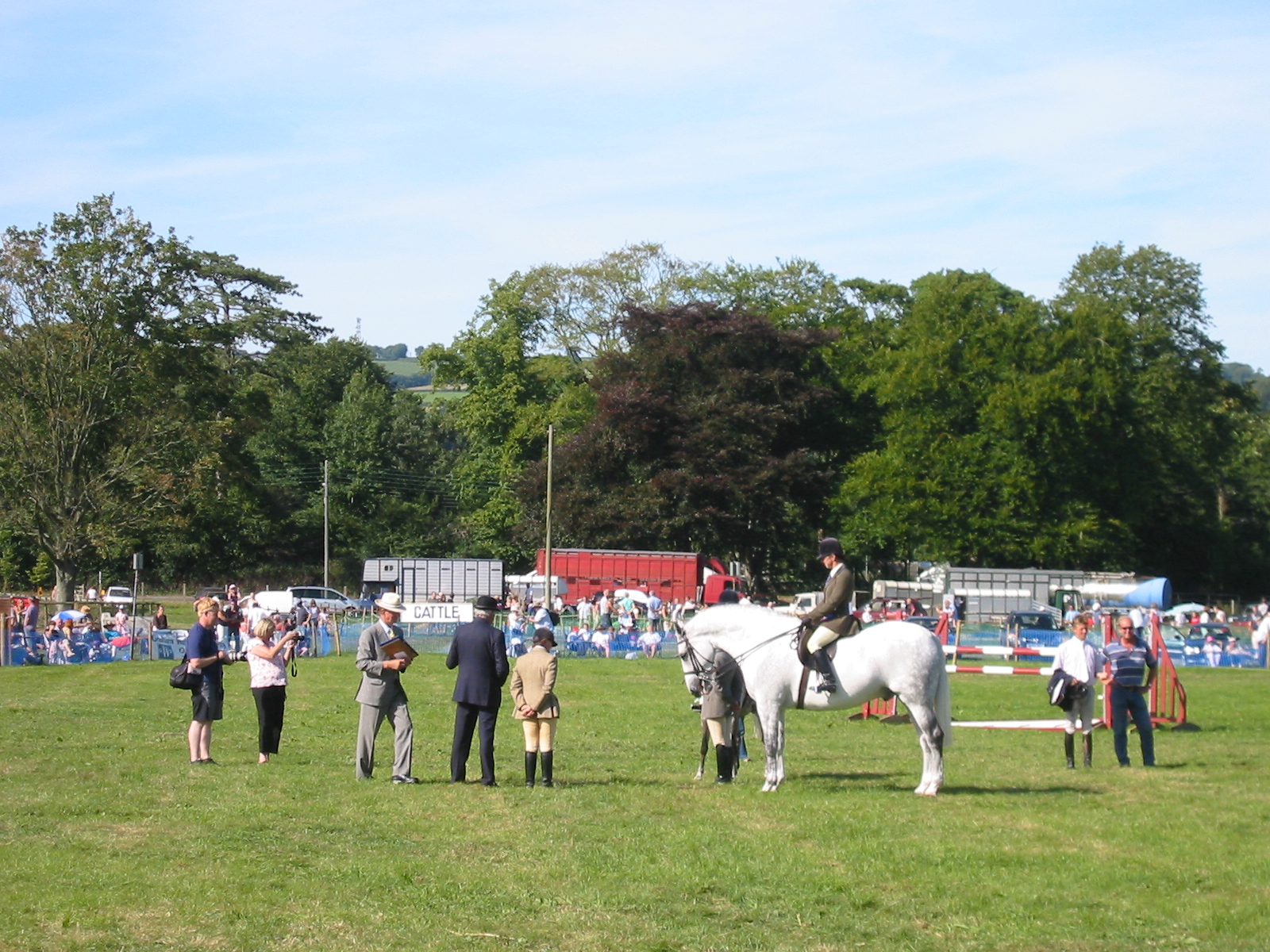
Mid-Somerset Show
The Mid-Somerset Show, also known as Shepton Show, is a one-day agricultural show held annually in August on a site at Shepton Mallet, Somerset, England...

Shepton Mallet (High Street) railway station
Shepton Mallet (High Street) was a railway station on the East Somerset Railway, serving the town of Shepton Mallet in the English county of Somerset....
Whitstone School
Whitstone School is a specialist school located in Shepton Mallet, Somerset, England, and educates students aged between 11 and 16. The school has been...

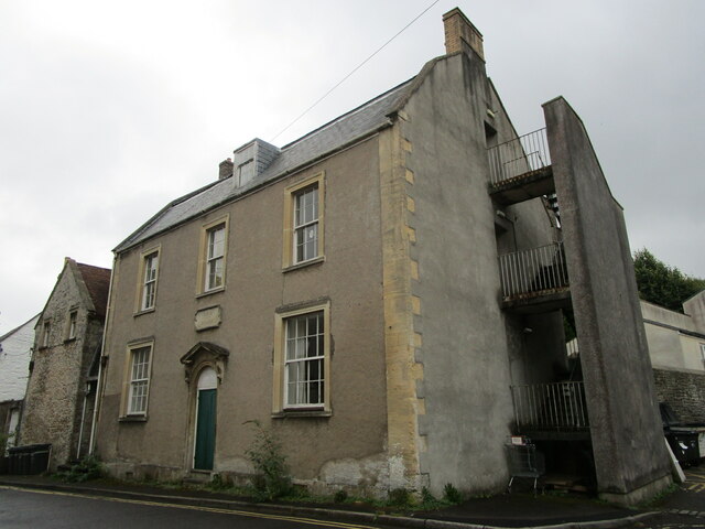
Merchant's House, Shepton Mallet
The Merchant's House at Number 8, Market Place, Shepton Mallet, Somerset, England was built around 1675 and has been designated as a Grade II* listed building...

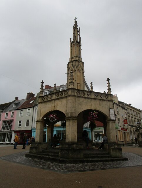
Market Cross, Shepton Mallet
The Market Cross in Shepton Mallet, Somerset, England was built around 1500 and rebuilt in 1841. It is a Grade II* listed building, and has been scheduled...

HM Prison Shepton Mallet
HMP Shepton Mallet, sometimes known as Cornhill, is a former prison located in Shepton Mallet, Somerset, England. When it closed in 2013, it was the United...

Brothers Cider
Brothers Cider is a brand of fruit cider originating in Somerset in South West England. Originally available at music festivals, it is now sold in pubs...
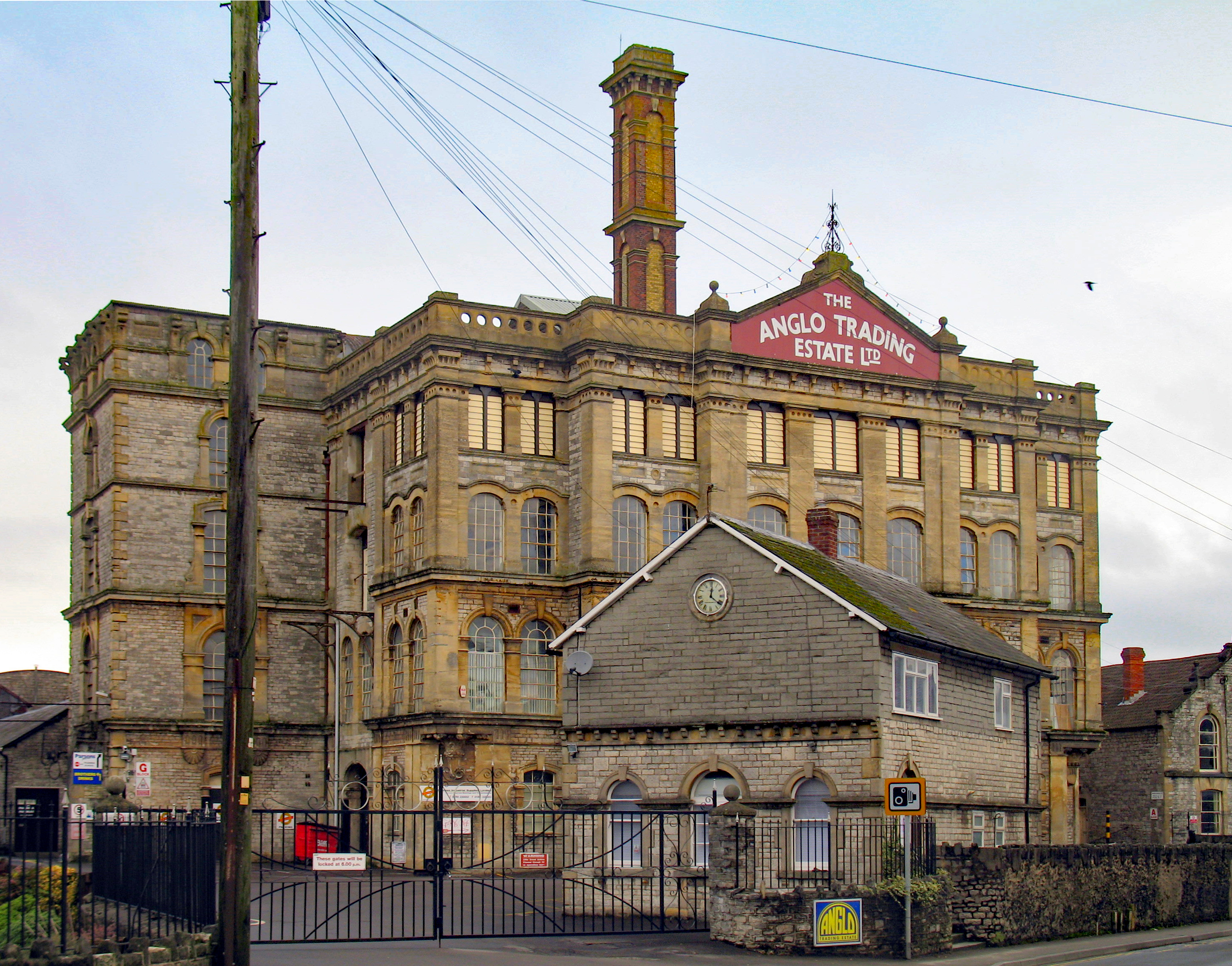
Anglo-Bavarian Brewery
The Anglo-Bavarian Brewery was originally established in Shepton Mallet in Somerset, England in 1864. It has been claimed as the first lager brewery in...
Nearby Amenities
Located within 500m of 51.185707,-2.54583Have you been to Field?
Leave your review of Field below (or comments, questions and feedback).