Fiddington
Settlement in Somerset Sedgemoor
England
Fiddington
Fiddington is a small village located in the county of Somerset, England. Situated approximately 3 miles northeast of Bridgwater, it is nestled in the picturesque countryside of the Sedgemoor district. With a population of around 400 residents, Fiddington maintains its rural charm and tranquil atmosphere.
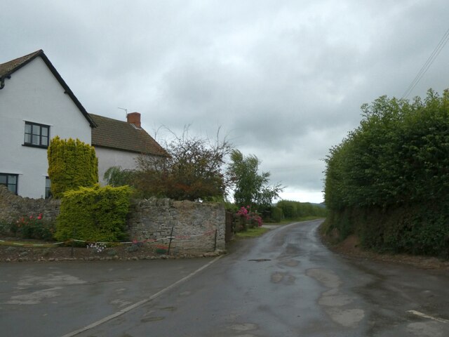
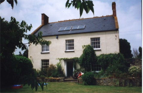
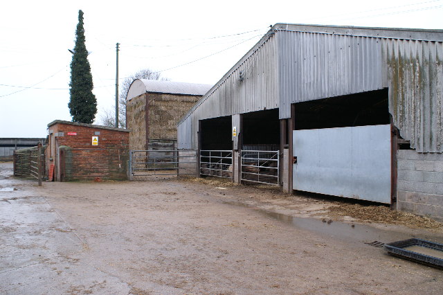
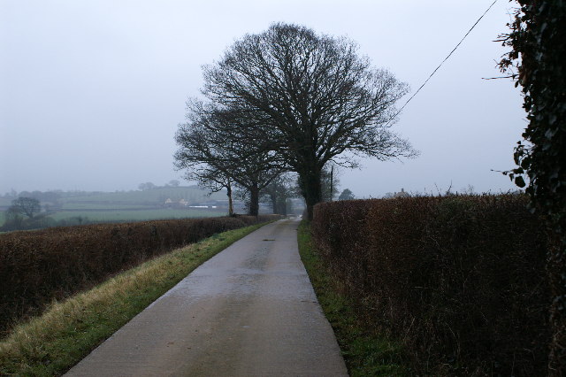
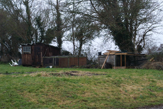
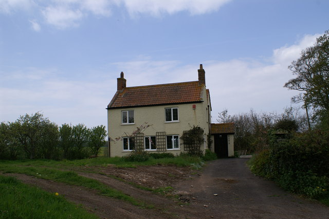
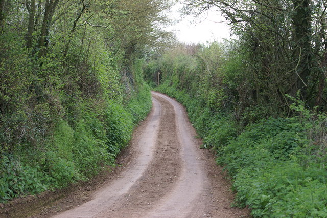
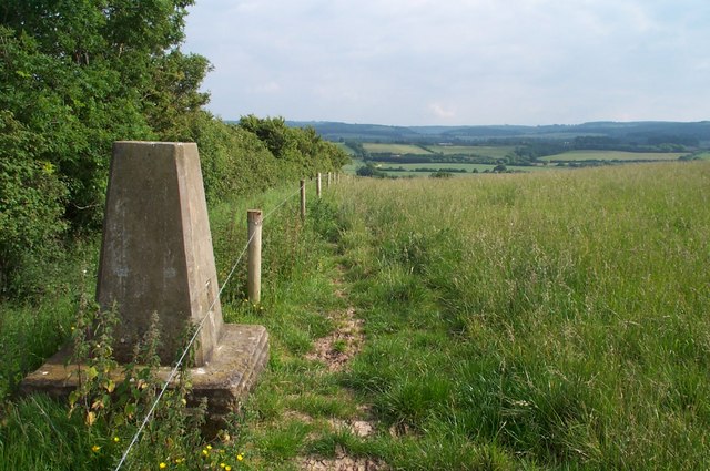
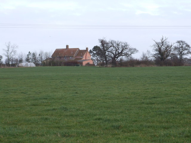
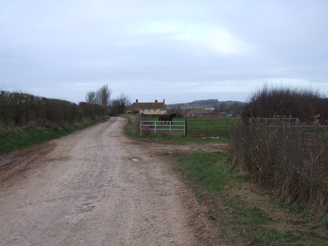
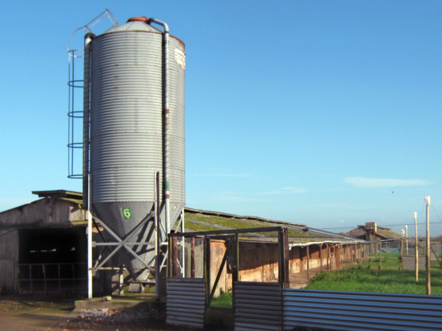
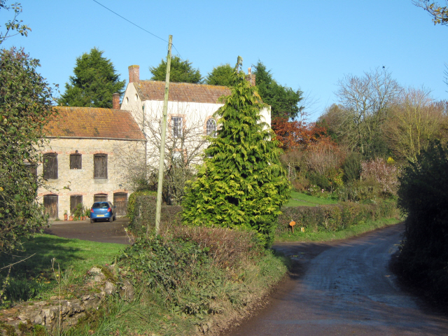
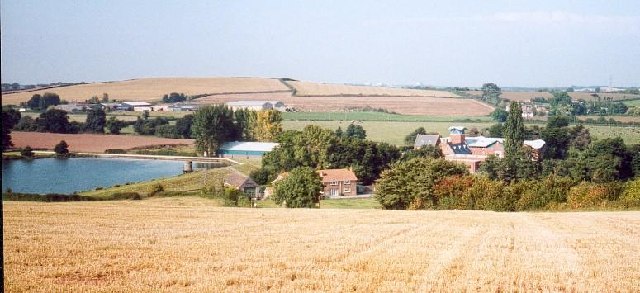
The village is known for its beautiful landscape, with rolling hills, lush green fields, and meandering streams. Fiddington is surrounded by agricultural land, primarily used for farming and livestock rearing. The area is dotted with traditional farmhouses and barns, adding to the village's idyllic character.
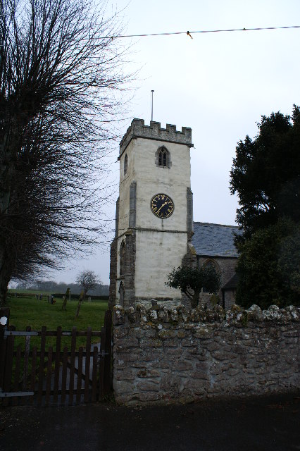
Fiddington boasts a close-knit community, with a strong sense of camaraderie amongst its residents. The village has a small primary school, providing education to the local children, and a quaint parish church, St. Martin's, which dates back to the 13th century. The church is renowned for its stunning stained glass windows and medieval architecture.
While Fiddington may be a small village, it offers a range of amenities to its residents. These include a village hall, a local pub, and a small convenience store. The village hall serves as a hub for community events and gatherings, such as fairs, meetings, and social activities.
Overall, Fiddington is a charming and peaceful village that provides a delightful rural escape for its residents. Its scenic surroundings, strong community spirit, and range of amenities make it a desirable place to live in the heart of Somerset's countryside.
If you have any feedback on the listing, please let us know in the comments section below.
Fiddington Images
Images are sourced within 2km of 51.158874/-3.1213014 or Grid Reference ST2140. Thanks to Geograph Open Source API. All images are credited.
![Houses at Coultings This pair of houses in the hamlet of Coultings were built by the local farmer for his workers and because it was 1953 (the year of the Queen's coronation) they were called Coronation Cottages. About five years later a second pair (away to the right in the picture) were completed.
[This picture was taken late in the evening and there was some daylight left - it was not pitch black and why the camera showed it that way, I do not know!!]](https://s0.geograph.org.uk/photos/49/92/499280_431d6bc2.jpg)


Fiddington is located at Grid Ref: ST2140 (Lat: 51.158874, Lng: -3.1213014)
Administrative County: Somerset
District: Sedgemoor
Police Authority: Avon and Somerset
What 3 Words
///magazine.jumpy.enough. Near Nether Stowey, Somerset
Nearby Locations
Related Wikis
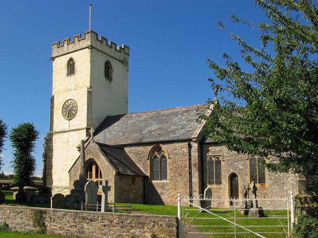
Church of St Martin, Fiddington
The Anglican Church of St Martin in Fiddington within the English county of Somerset dates from the 11th century and has been designated by English Heritage...
Fiddington
Fiddington is a village and civil parish 2.5 miles (4 km) north-east of Nether Stowey, and 6 miles (10 km) north-west of Bridgwater in Somerset, England...

Church of St Mary the Virgin, Nether Stowey
The Anglican Church of St Mary the Virgin in Nether Stowey in the English county of Somerset has a 15th-century tower, with the remainder of the church...
Nether Stowey
Nether Stowey is a large village in Somerset, South West England. It sits in the foothills of the Quantock Hills (England's first Area of Outstanding Natural...

Over Stowey
Over Stowey is a small village and civil parish in Somerset, South West England. A large part of the forest and open heath of the Quantock Hills is within...

Stogursey Castle
Stogursey Castle is a medieval castle in Somerset, England. Most of the site is in ruins, but there is a thatched gatehouse used for holiday rental by...

Coleridge Cottage
Coleridge Cottage is a cottage situated in Nether Stowey, Bridgwater, Somerset, England. It is a grade II* listed building. The 17th century cottage was...
Ashford Reservoir
Ashford Reservoir is a small reservoir on the eastern side of the Quantock Hills near the villages of Charlynch and Spaxton in Somerset, England. It was...
Nearby Amenities
Located within 500m of 51.158874,-3.1213014Have you been to Fiddington?
Leave your review of Fiddington below (or comments, questions and feedback).