Bluestone Farm Plantation
Wood, Forest in Norfolk King's Lynn and West Norfolk
England
Bluestone Farm Plantation
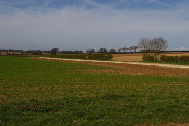
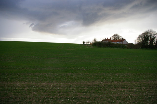
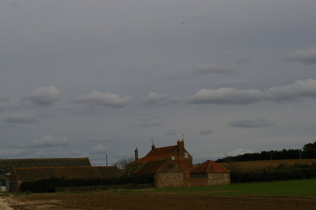
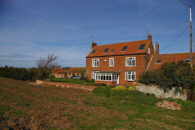
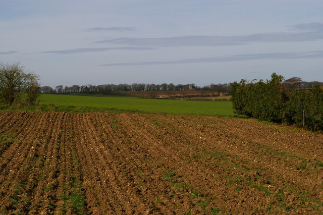
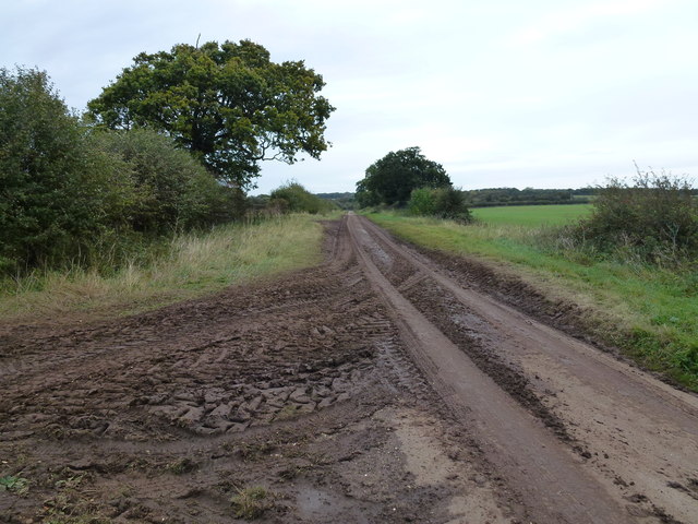
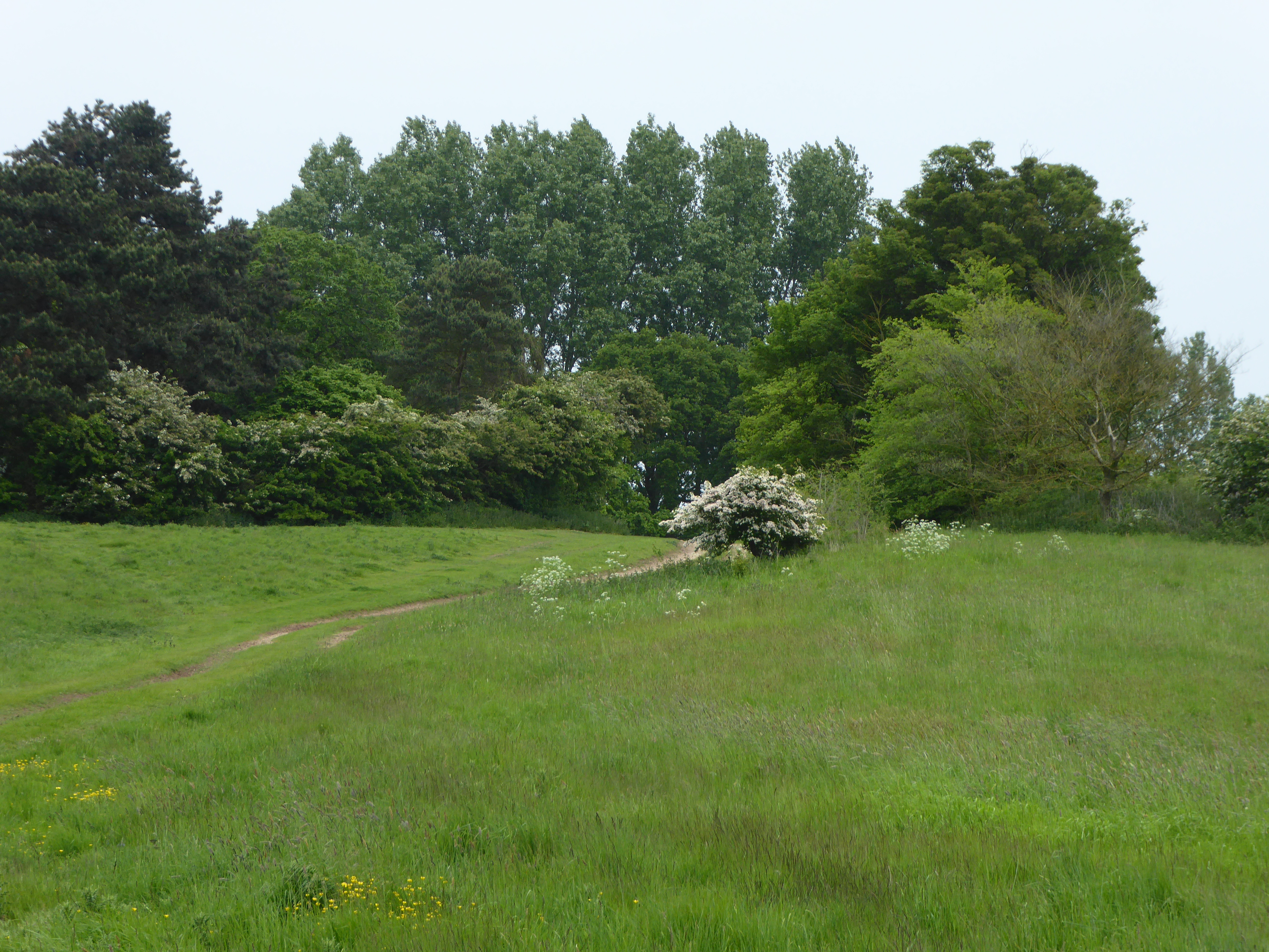
Bluestone Farm Plantation is a historic woodland located in Norfolk, England. Situated in the heart of the picturesque countryside, this expansive forest covers an area of approximately 500 acres. The plantation is known for its abundant bluebell carpet, which transforms the landscape into a mesmerizing sea of vibrant blue during the spring months.
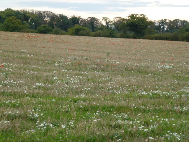
The woodland boasts a diverse range of tree species, including oak, beech, and hazel, creating a rich and varied ecosystem. The ancient woodland has been carefully managed over the years to preserve its natural beauty and protect the native flora and fauna. As a result, Bluestone Farm Plantation is a haven for wildlife, with numerous bird species, deer, and small mammals calling it home.
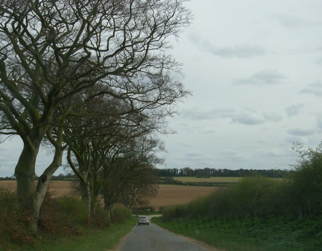
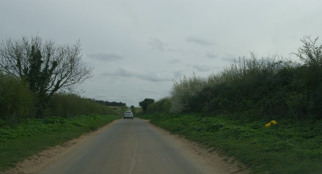
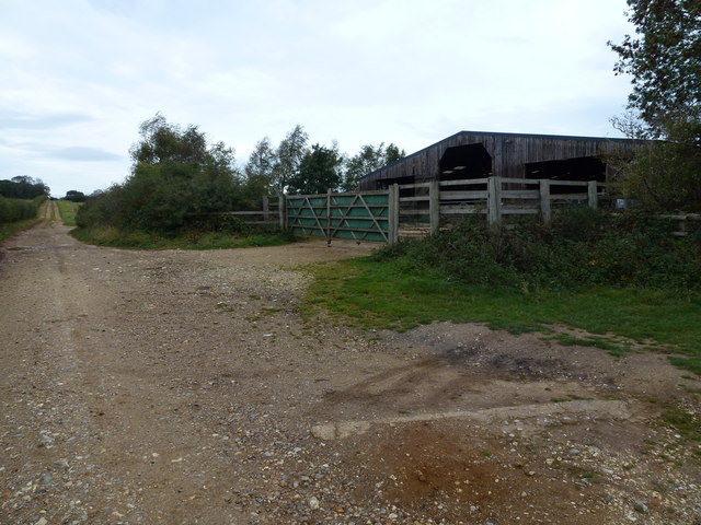
Visitors to Bluestone Farm Plantation can enjoy a network of well-maintained walking trails that wind their way through the forest. These trails provide an opportunity to immerse oneself in nature, offering breathtaking views and a peaceful atmosphere. The plantation also features picnic areas and benches, allowing visitors to relax and appreciate the tranquil surroundings.
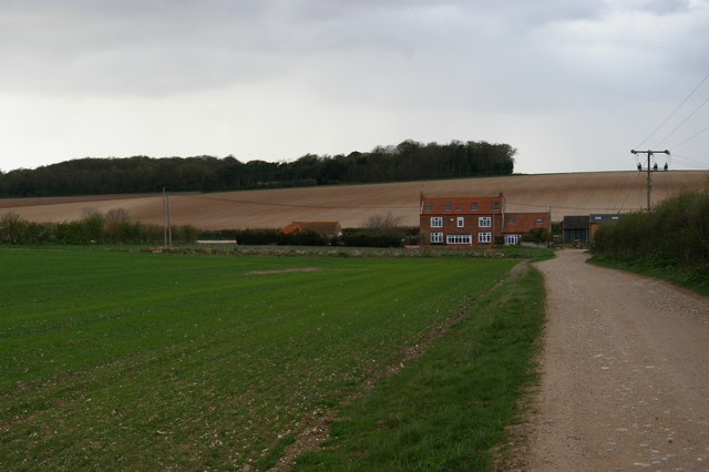
Bluestone Farm Plantation holds great historical significance, with records dating back to the 17th century. The site has been used for timber production and farming throughout its history. Today, it continues to be managed sustainably, with a focus on preserving its natural heritage for future generations to enjoy.
Overall, Bluestone Farm Plantation is a remarkable woodland that offers a captivating natural experience. Its rich biodiversity, scenic beauty, and historical importance make it a must-visit destination for nature enthusiasts and history buffs alike.
If you have any feedback on the listing, please let us know in the comments section below.
Bluestone Farm Plantation Images
Images are sourced within 2km of 52.939031/0.55843504 or Grid Reference TF7241. Thanks to Geograph Open Source API. All images are credited.


Bluestone Farm Plantation is located at Grid Ref: TF7241 (Lat: 52.939031, Lng: 0.55843504)
Administrative County: Norfolk
District: King's Lynn and West Norfolk
Police Authority: Norfolk
What 3 Words
///grills.cocoons.planet. Near Hunstanton, Norfolk
Nearby Locations
Related Wikis
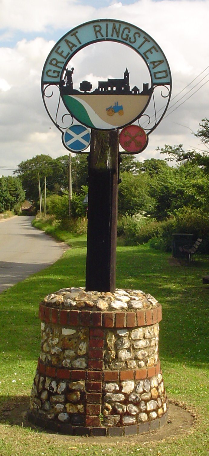
Ringstead, Norfolk
Ringstead is a village and civil parish in the north-west corner of the English county of Norfolk. It covers an area of 11.13 km2 (4.30 sq mi) and had...

Choseley
Choseley is a tiny hamlet and civil parish in the English county of Norfolk. It is situated between the villages of Titchwell and Docking and about 4 kilometres...
Hunstanton Park Esker
Hunstanton Park Esker is a 17.3-hectare (43-acre) geological Site of Special Scientific Interest east of Hunstanton in Norfolk. The esker extends 1.5 km...

Holme-next-the-Sea
Holme-next-the-Sea is a small village and civil parish in the English county of Norfolk. It is situated on the north Norfolk coast some 5 km north-east...
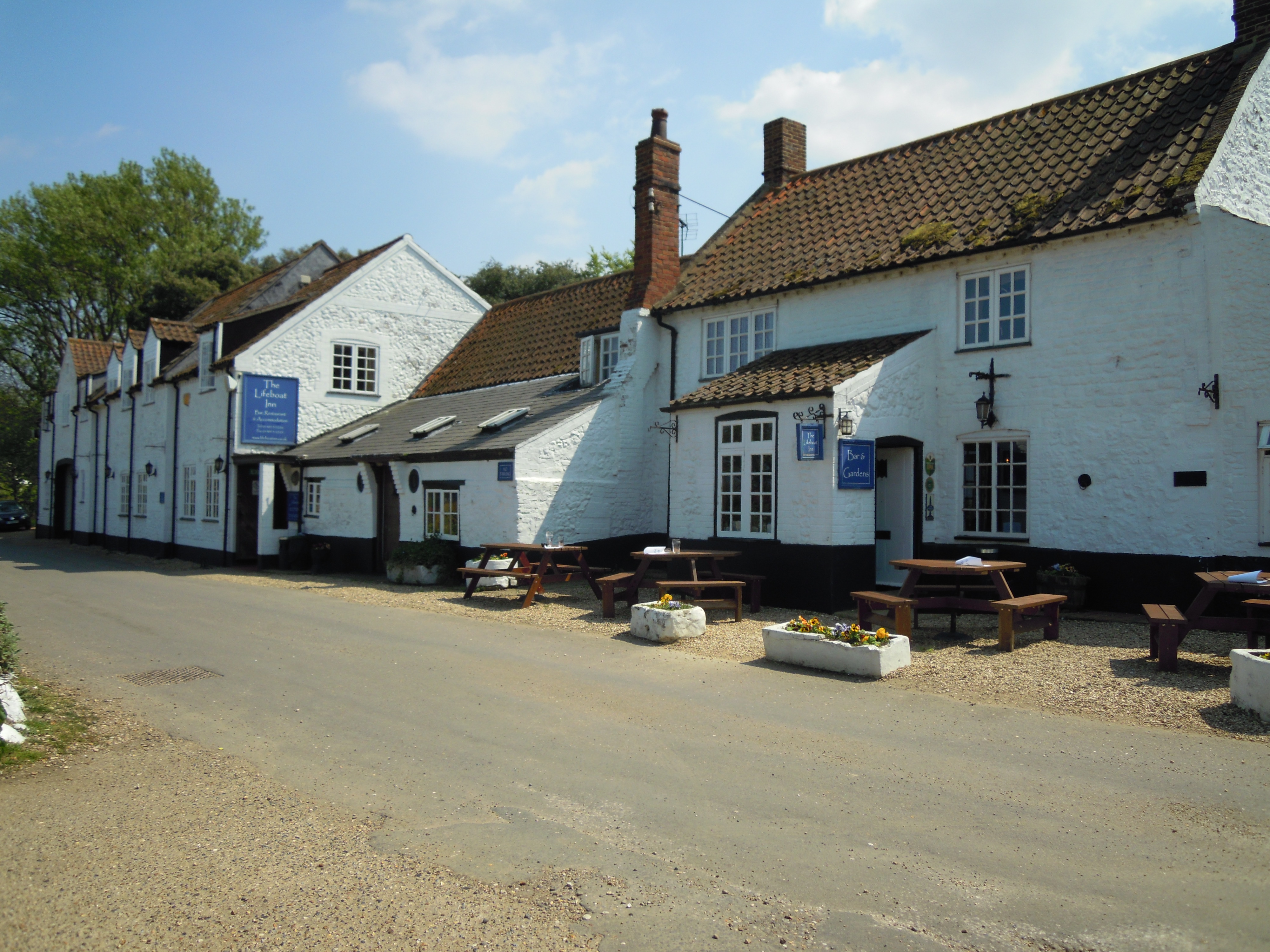
The Lifeboat Inn, Thornham
The Lifeboat Inn is a public house and inn in Ship Lane, Thornham, Norfolk, England. It lies near the wooded grounds of Thornham Manor. The white-painted...

Thornham, Norfolk
Thornham is a village and civil parish in the English county of Norfolk. It is situated on the north Norfolk coast some 7 kilometres (4.3 mi) north-east...

St Mary's Church, Holme-next-the-Sea
St Mary's Church is the parish church of Holme-next-the-Sea in the English county of Norfolk. It is dedicated to the Virgin Mary. The church is partly...
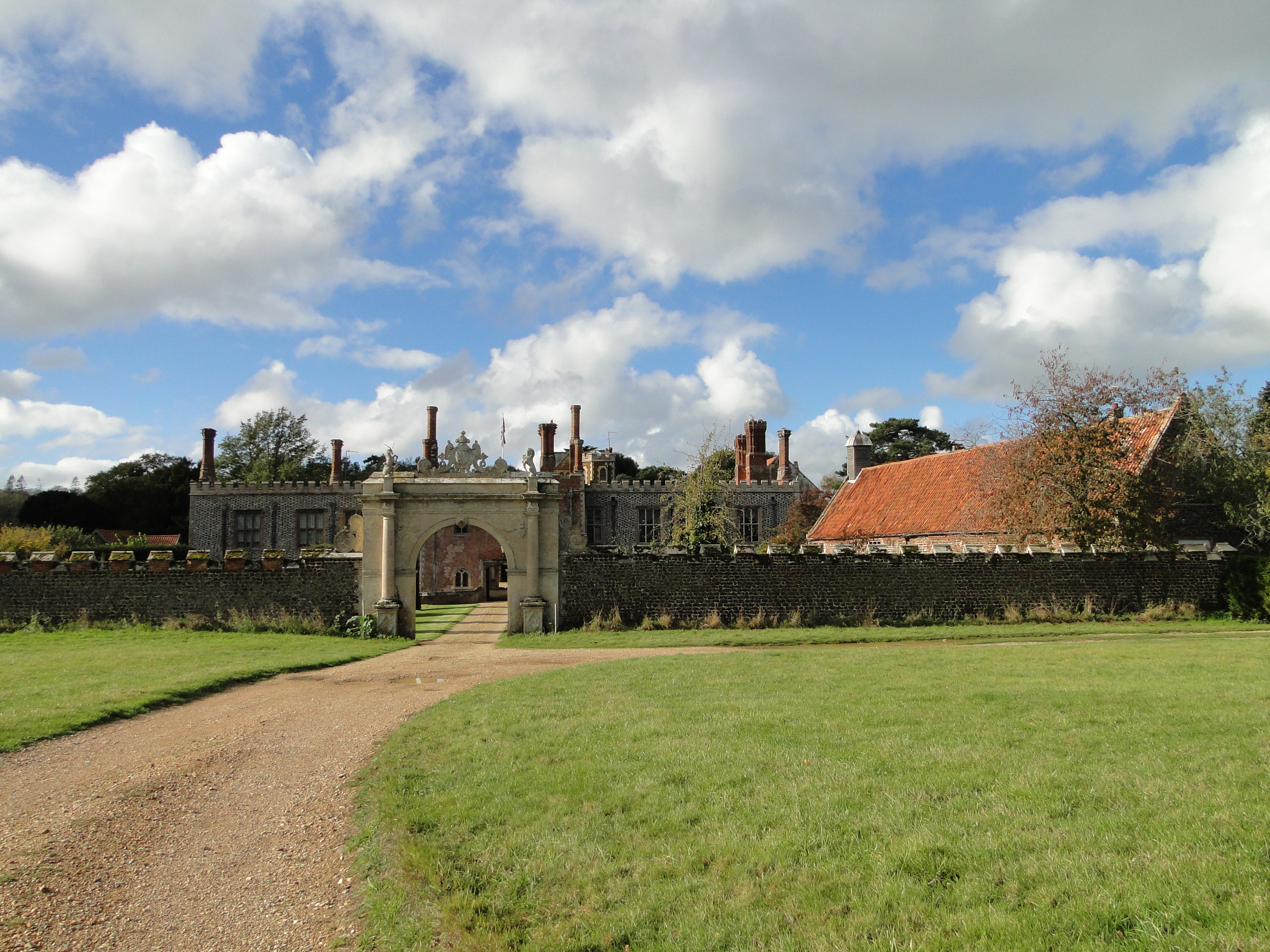
Hunstanton Hall
Hunstanton Hall, Old Hunstanton, Norfolk, England is a country house dating originally from the 15th century. The gatehouse, now detached from the main...
Nearby Amenities
Located within 500m of 52.939031,0.55843504Have you been to Bluestone Farm Plantation?
Leave your review of Bluestone Farm Plantation below (or comments, questions and feedback).