Great Wood
Wood, Forest in Sussex Rother
England
Great Wood

Great Wood is a sprawling forest located in the county of Sussex, England. Covering an extensive area of approximately 2,500 acres, it is one of the largest and most diverse woodlands in the region. The forest is situated in the heart of the South Downs National Park and is renowned for its exceptional natural beauty and rich biodiversity.
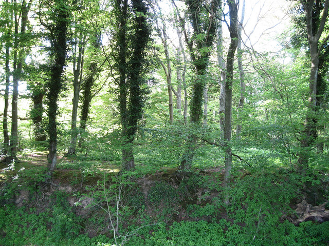
Great Wood is primarily composed of mixed woodland, consisting of a variety of tree species such as oak, beech, ash, and birch. The dense canopy provides a sanctuary for numerous wildlife species, including deer, foxes, badgers, and a wide array of bird species. It is a popular destination for nature enthusiasts and birdwatchers, offering excellent opportunities for observation and exploration.
The forest features a network of well-maintained footpaths and trails that enable visitors to navigate through the woodland and enjoy its tranquil atmosphere. These paths wind through picturesque glades, ancient woodlands, and vibrant meadows, offering stunning views of the surrounding countryside.
Great Wood has a fascinating history that dates back several centuries. It has been an important source of timber for the local community, and evidence of charcoal production can still be found within the forest. Furthermore, the woodland has played a significant role in supporting the local economy through activities such as forestry and traditional woodland crafts.
Overall, Great Wood in Sussex is a cherished natural treasure, drawing visitors from near and far to experience its breathtaking beauty, diverse wildlife, and rich cultural heritage.
If you have any feedback on the listing, please let us know in the comments section below.
Great Wood Images
Images are sourced within 2km of 50.945934/0.44655582 or Grid Reference TQ7119. Thanks to Geograph Open Source API. All images are credited.


Great Wood is located at Grid Ref: TQ7119 (Lat: 50.945934, Lng: 0.44655582)
Administrative County: East Sussex
District: Rother
Police Authority: Sussex
What 3 Words
///risk.shatters.somebody. Near Battle, East Sussex
Nearby Locations
Related Wikis

River Line SSSI
River Line SSSI is a 2.2-hectare (5.4-acre) geological Site of Special Scientific Interest south of Robertsbridge in East Sussex. It is a Geological Conservation...
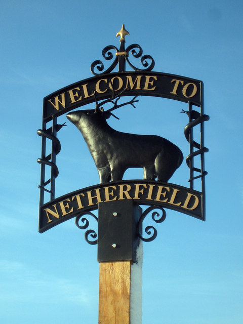
Netherfield, East Sussex
Netherfield is a village in the civil parish of Battle, in the Rother district, in the county of East Sussex, England.In the 1870-1872 Imperial Gazetteer...

Darwell Wood
Darwell Wood is a 37.5-hectare (93-acre) biological Site of Special Scientific Interest north-west of Battle in East Sussex. == Species == Most of the...

Darwell Reservoir
Darwell Reservoir lies to the west of Mountfield, East Sussex, England. The reservoir provides water for Southern Water customers. The reservoir covers...
Battle of Mercredesburne
The Battle of Mercredesburne was one of three battles fought as part of the conquest of what became the Kingdom of Sussex in southern England. The battles...

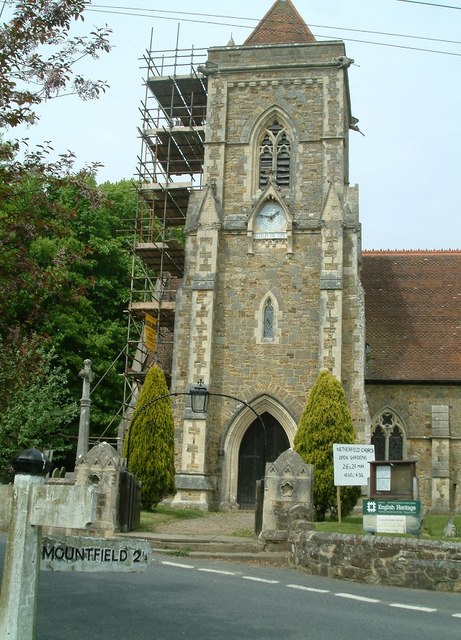
Mountfield, East Sussex
Mountfield is a village and civil parish in the Rother district of East Sussex, England, and three miles (5 km) north-west of Battle. It is mentioned in...
Mountfield Halt railway station
Mountfield Halt (TQ 746 197 50°57′01″N 0°29′12″E) was situated on the Hastings Line between Robertsbridge and Battle. It opened in 1923 and was closed...
Glottenham Castle
Glottenham Castle was a castle in Mountfield, East Sussex, around 5 miles (8 km) north of Battle Abbey. Built in the 13th century, it was abandoned in...
Nearby Amenities
Located within 500m of 50.945934,0.44655582Have you been to Great Wood?
Leave your review of Great Wood below (or comments, questions and feedback).