Middle Covert

Wood, Forest in Suffolk West Suffolk

England

Middle Covert

Footpath round Lakenheath airfield There’s a small path on this side of the perimeter fence of Lakenheath Airfield. It’s managed by Forest Heath District Council
Footpath round Lakenheath airfield Credit: Mary and Angus Hogg

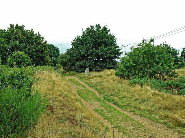
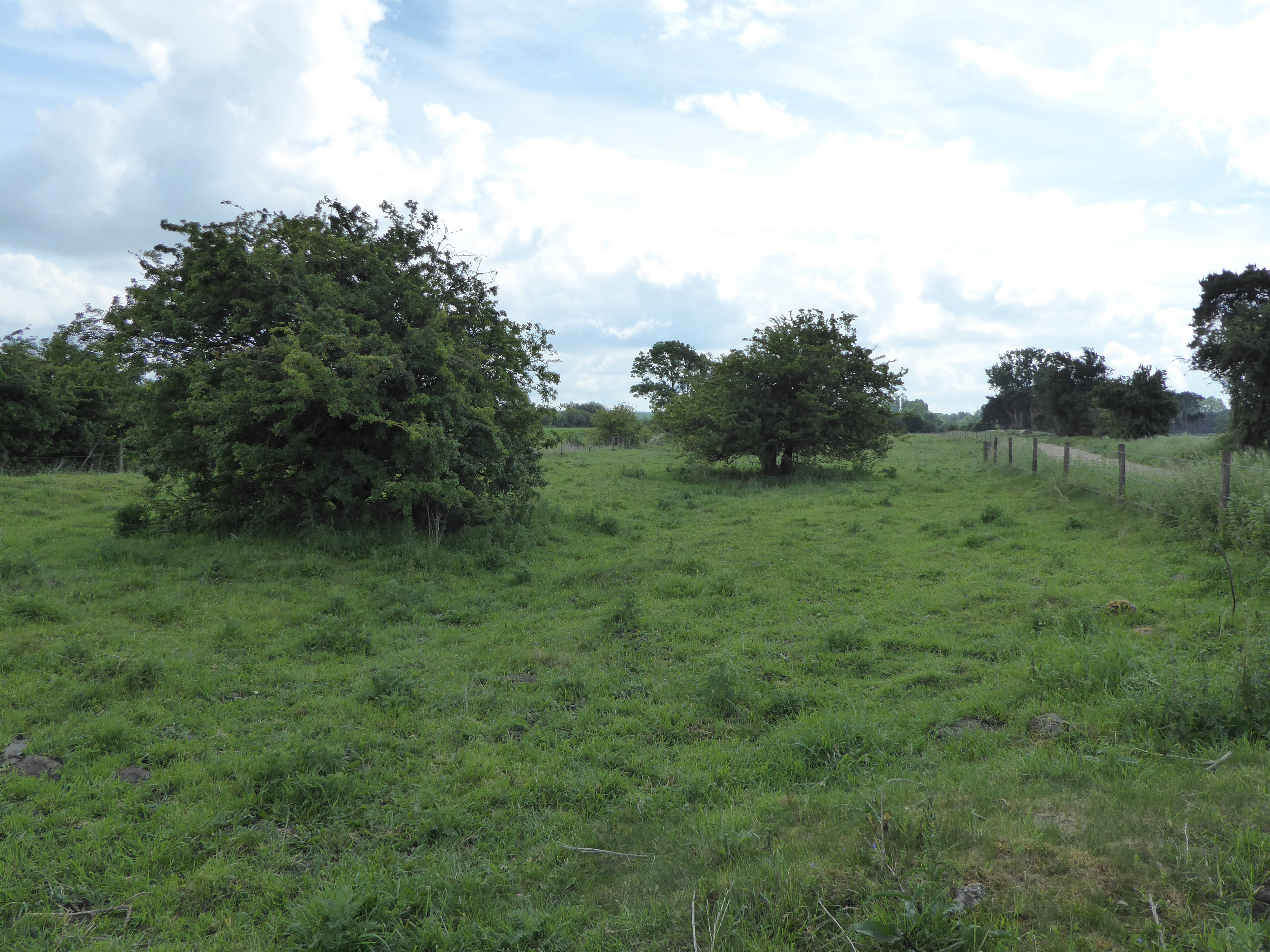
Middle Covert is a woodland area located in Suffolk, England. Situated in the heart of the county, Middle Covert is part of a larger forested region known for its natural beauty and rich biodiversity. The wood covers an area of approximately 150 acres and is surrounded by picturesque countryside, offering visitors a peaceful and tranquil environment.

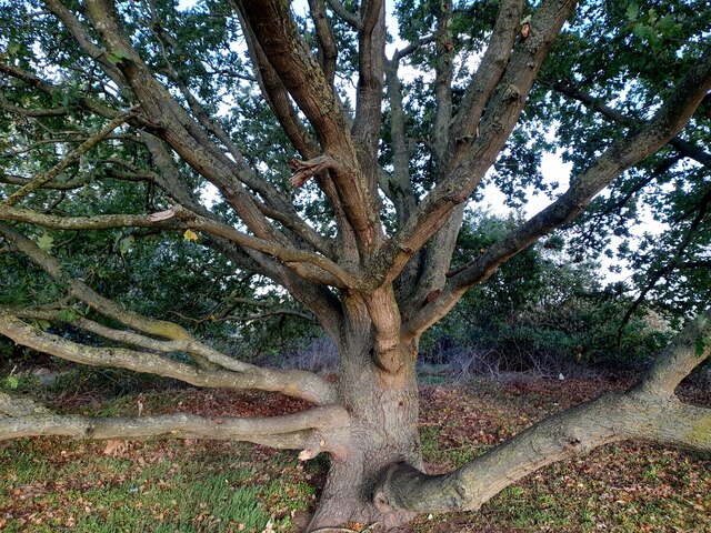
The woodland is predominantly composed of deciduous trees, including oak, beech, and ash, creating a diverse and vibrant ecosystem. The dense canopy provides shelter for a wide variety of wildlife, including squirrels, deer, and a range of bird species, making it a popular spot for nature enthusiasts and birdwatchers.

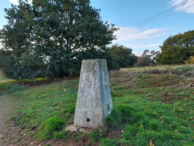
Middle Covert is also home to a network of walking trails that wind their way through the woods, allowing visitors to explore the enchanting landscape. These paths offer opportunities for leisurely strolls, as well as more challenging hikes for those seeking a more active experience. The trails are well-maintained, providing easy access for visitors of all ages and abilities.

In addition to its natural beauty, Middle Covert holds historical significance. The woodland has been carefully managed for centuries and was once part of a larger hunting ground. Evidence of its past can still be seen in the form of ancient earthworks and remnants of a hunting lodge. These historical features add an extra layer of intrigue to the woodland, making it an intriguing destination for history buffs.

Overall, Middle Covert in Suffolk offers a captivating blend of natural beauty, wildlife, and historical charm, making it a must-visit destination for those seeking a peaceful retreat in the heart of the English countryside.

If you have any feedback on the listing, please let us know in the comments section below.

Middle Covert Images

Images are sourced within 2km of 52.423428/0.52540816 or Grid Reference TL7183. Thanks to Geograph Open Source API. All images are credited.

Footpath round Lakenheath airfield There’s a small path on this side of the perimeter fence of Lakenheath Airfield. It’s managed by Forest Heath District Council
Footpath round Lakenheath airfield
There’s a small path on this side of the perimeter fence of Lakenheath Airfield. It’s managed by Forest Heath District Council
The trig point on Maidscross Hill This used to be a good viewing point for Lakenheath Airfield but growth of vegetation now obscures the line of sight. Visited in disappointing summer weather.
The trig point on Maidscross Hill
This used to be a good viewing point for Lakenheath Airfield but growth of vegetation now obscures the line of sight. Visited in disappointing summer weather.
Lakenheath High Street A busy village centre with lots of shops. Viewed at the junction with Wings Road.
Lakenheath High Street
A busy village centre with lots of shops. Viewed at the junction with Wings Road.
Hallfields, Lakenheath New houses on the edge of the village.
Hallfields, Lakenheath
New houses on the edge of the village.
This way to Wangford There’s public footpath access along this track.
This way to Wangford
There’s public footpath access along this track.
Cut-off Channel The channel is designed to take flood water away from farmland, buildings and roads.
Cut-off Channel
The channel is designed to take flood water away from farmland, buildings and roads.
Wangford Drain One of many field drains in this low-lying and very flat part of England. The average height is only a few metres above sea level.
Wangford Drain
One of many field drains in this low-lying and very flat part of England. The average height is only a few metres above sea level.
Cropmarks on fields NW of Lakenheath: aerial 2022 (1)
Cropmarks on fields NW of Lakenheath: aerial 2022 (2)
Cropmarks on fields NW of Lakenheath: aerial 2022 (3)
Oak, Maidscross Hill
Maidscross Hill Trig Pillar Flush bracket 11145.
Maidscross Hill Trig Pillar
Flush bracket 11145.
Postbox at Lakenheath Royal Mail list this box as 'IP27 17 Cemetary Road'. The spelling error is theirs!
Postbox at Lakenheath
Royal Mail list this box as 'IP27 17 Cemetary Road'. The spelling error is theirs!
Cut-off Channel From the B1112 north of Lakenheath.
Cut-off Channel
From the B1112 north of Lakenheath.
Post Office, Lakenheath
Station Road in the snow
Snowy view from Station Road
St Mary the Virgin, Lakenheath
Show me another place!

Middle Covert is located at Grid Ref: TL7183 (Lat: 52.423428, Lng: 0.52540816)

Administrative County: Suffolk

District: West Suffolk

Police Authority: Suffolk

What 3 Words

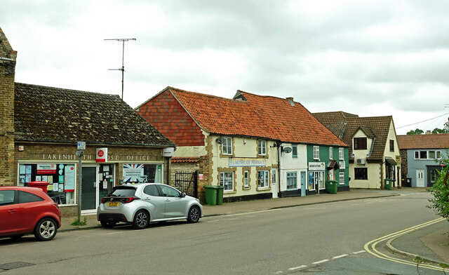
///makeup.mime.reshape. Near Lakenheath, Suffolk

Related Wikis

Lakenheath F.C.

Lakenheath Football Club is a football club based in Lakenheath, Suffolk, England. They are currently members of the Eastern Counties League Premier Division...
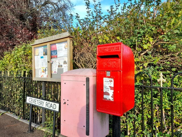
Lakenheath

Lakenheath is a village and civil parish in the West Suffolk district of Suffolk in eastern England. It has a population of 4,691 according to the 2011...

Pashford Poor's Fen, Lakenheath

Pashford Poor's Fen, Lakenheath is a 12.4-hectare (31-acre) biological Site of Special Scientific Interest east of Lakenheath in Suffolk.This diverse site...

Maidscross Hill

Maidscross Hill is a 44.8-hectare (111-acre) biological Site of Special Scientific Interest on the eastern outskirts of Lakenheath in Suffolk. It is a...

Lakenheath Poor's Fen

Lakenheath Poor's Fen is a 5.2-hectare biological Site of Special Scientific Interest west of Lakenheath in Suffolk.This is mainly fen with diverse flora...

RAF Lakenheath

Royal Air Force Lakenheath or RAF Lakenheath (IATA: LKZ, ICAO: EGUL) is a Royal Air Force station near the village of Lakenheath in Suffolk, England, UK...

Lakenheath Fen RSPB reserve

Lakenheath Fen RSPB reserve is located on the Norfolk/Suffolk border in England, between Lakenheath and Hockwold cum Wilton adjacent to Lakenheath railway...

RAF Lakenheath SSSI

RAF Lakenheath is a 111 hectare biological Site of Special Scientific Interest covering parts of RAF Lakenheath Royal Air Force base, east of Lakenheath...

Nearby Amenities

Located within 500m of 52.423428,0.52540816
Bus Stop
Post Box
Bus: yes
Naptan AtcoCode: 390020083
Naptan Bearing: NE
Naptan BusStopType: CUS
Naptan CommonName: Post Box
Naptan Indicator: o/s
Naptan Landmark: Post Box
Naptan NaptanCode: sufajdad
Naptan Street: Woodlands
Naptan Verified: no
Public Transport: platform
Source: naptan_import
Lat/Long: 52.4231427/0.5220127
Bus Stop
Post Box
Bus: yes
Naptan AtcoCode: 390020084
Naptan Bearing: SW
Naptan CommonName: Post Box
Naptan Indicator: opp
Naptan Landmark: Post Box
Naptan NaptanCode: sufajdag
Naptan Street: Woodlands
Public Transport: platform
Source: naptan_import;survey
Lat/Long: 52.4230798/0.5220577
Traffic Calming: table
Lat/Long: 52.4234921/0.5184052
Recycling
Recycling Glass: yes
Lat/Long: 52.4233127/0.5224552
Post Box
Collection Times: Mo-Fr 16:00; Sa 09:30
Post Box Mounting: telegraph_pole
Post Box Type: lamp
Ref: IP27 3369
Royal Cypher: EIIR
Royal Cypher Wikidata: Q33102113
Lat/Long: 52.4231115/0.5219107
Waste Basket
Waste: dog_excrement
Lat/Long: 52.4199447/0.5207974
Communication Mobile Phone: yes
Man Made: mast
Material: metal
Operator: EE
Tower Construction: lattice
Tower Type: communication
Lat/Long: 52.4276191/0.5274229
The data included in this document is from www.openstreetmap.org. The data is made available under ODbL.

Have you been to Middle Covert?

Leave your review of Middle Covert below (or comments, questions and feedback).