Hack Wood
Wood, Forest in Sussex Rother
England
Hack Wood
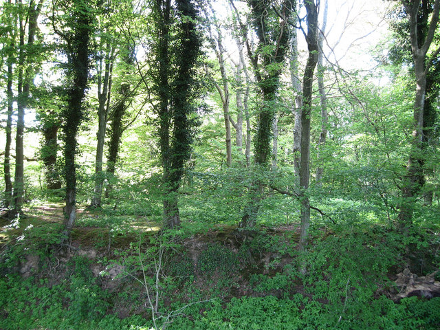
Hack Wood is a picturesque woodland located in Sussex, England. Spread over an area of approximately 100 acres, this forested area is known for its natural beauty and diverse range of flora and fauna. The wood is situated near the village of Wood and is a popular destination for nature enthusiasts and hikers alike.
The wood is mainly comprised of broadleaf trees such as oak, beech, and ash, creating a dense canopy that provides a cool and serene atmosphere. The forest floor is adorned with a carpet of bluebells during the spring season, creating a stunning visual display and attracting visitors from all around.
Hack Wood is also home to a variety of wildlife species. Visitors may spot deer, foxes, and a wide range of bird species, including woodpeckers and owls. The wood's tranquil environment provides an ideal habitat for these creatures, making it a haven for nature lovers and wildlife enthusiasts.
There are several walking trails that wind their way through Hack Wood, allowing visitors to explore the forest at their own pace. These trails offer breathtaking views of the surrounding countryside, with opportunities to spot wildflowers and catch glimpses of the wildlife that inhabits the wood.
In addition to its natural beauty, Hack Wood also holds historical significance. It is believed to have been part of a medieval hunting ground and remnants of ancient earthworks can still be seen in some areas of the wood.
Overall, Hack Wood provides an escape from the hustle and bustle of daily life, offering visitors a chance to connect with nature and explore the rich biodiversity of Sussex.
If you have any feedback on the listing, please let us know in the comments section below.
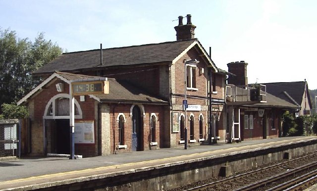
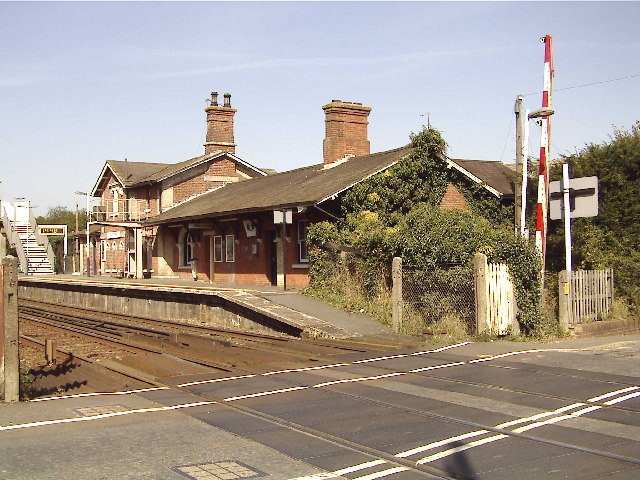
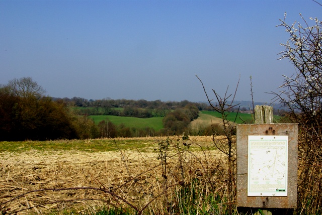
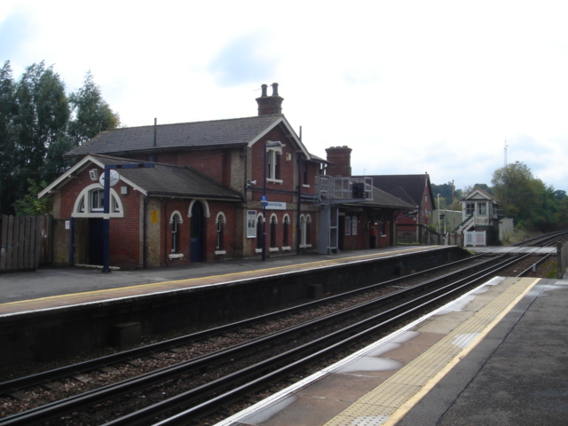
Hack Wood Images
Images are sourced within 2km of 50.986475/0.44630765 or Grid Reference TQ7123. Thanks to Geograph Open Source API. All images are credited.


Hack Wood is located at Grid Ref: TQ7123 (Lat: 50.986475, Lng: 0.44630765)
Administrative County: East Sussex
District: Rother
Police Authority: Sussex
What 3 Words
///degrading.bats.willing. Near Robertsbridge, East Sussex
Nearby Locations
Related Wikis

Robertsbridge Community College
Robertsbridge Community College is a coeducational secondary school located in Robertsbridge in the English county of East Sussex.It was established in...
Robertsbridge Junction railway station
Robertsbridge Junction is the terminus of the Rother Valley Railway, the extension of the Kent and East Sussex Railway from Bodiam to Robertsbridge. Because...
Robertsbridge railway station
Robertsbridge railway station is on the Hastings line in the south of England and serves the village of Robertsbridge, East Sussex. It is 49 miles 47 chains...
Robertsbridge
Robertsbridge is a village in the civil parish of Salehurst and Robertsbridge, and the Rother district of East Sussex, England. It is approximately 10...
Glottenham Castle
Glottenham Castle was a castle in Mountfield, East Sussex, around 5 miles (8 km) north of Battle Abbey. Built in the 13th century, it was abandoned in...
Etchingham
Etchingham is a village and civil parish in the Rother district of East Sussex in southern England. The village is located approximately 15 miles (24 km...

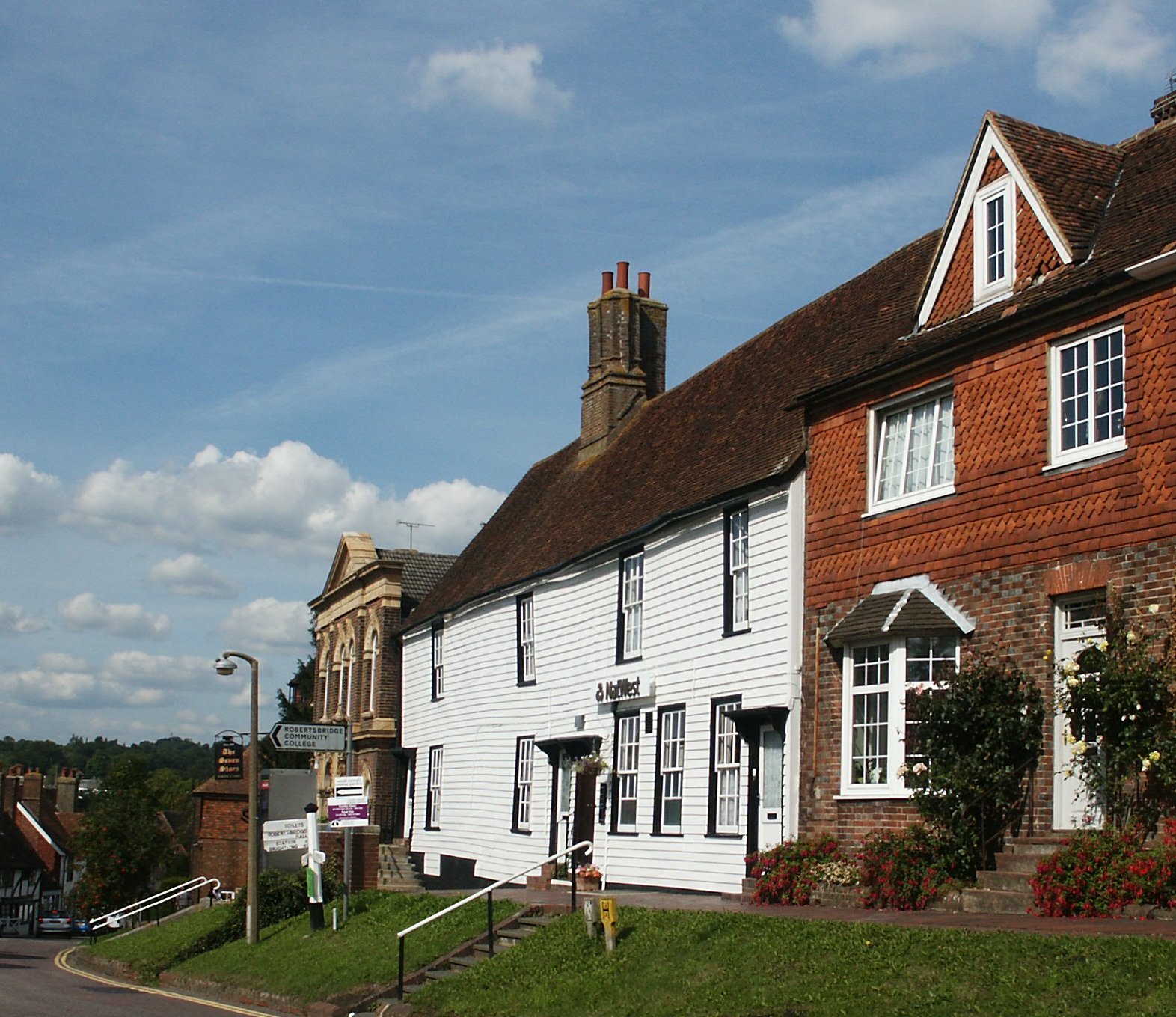
The Seven Stars Inn
The Seven Stars Inn is a 14th-century public house in Robertsbridge, East Sussex, a well-preserved example of a medieval building and a typical Sussex...
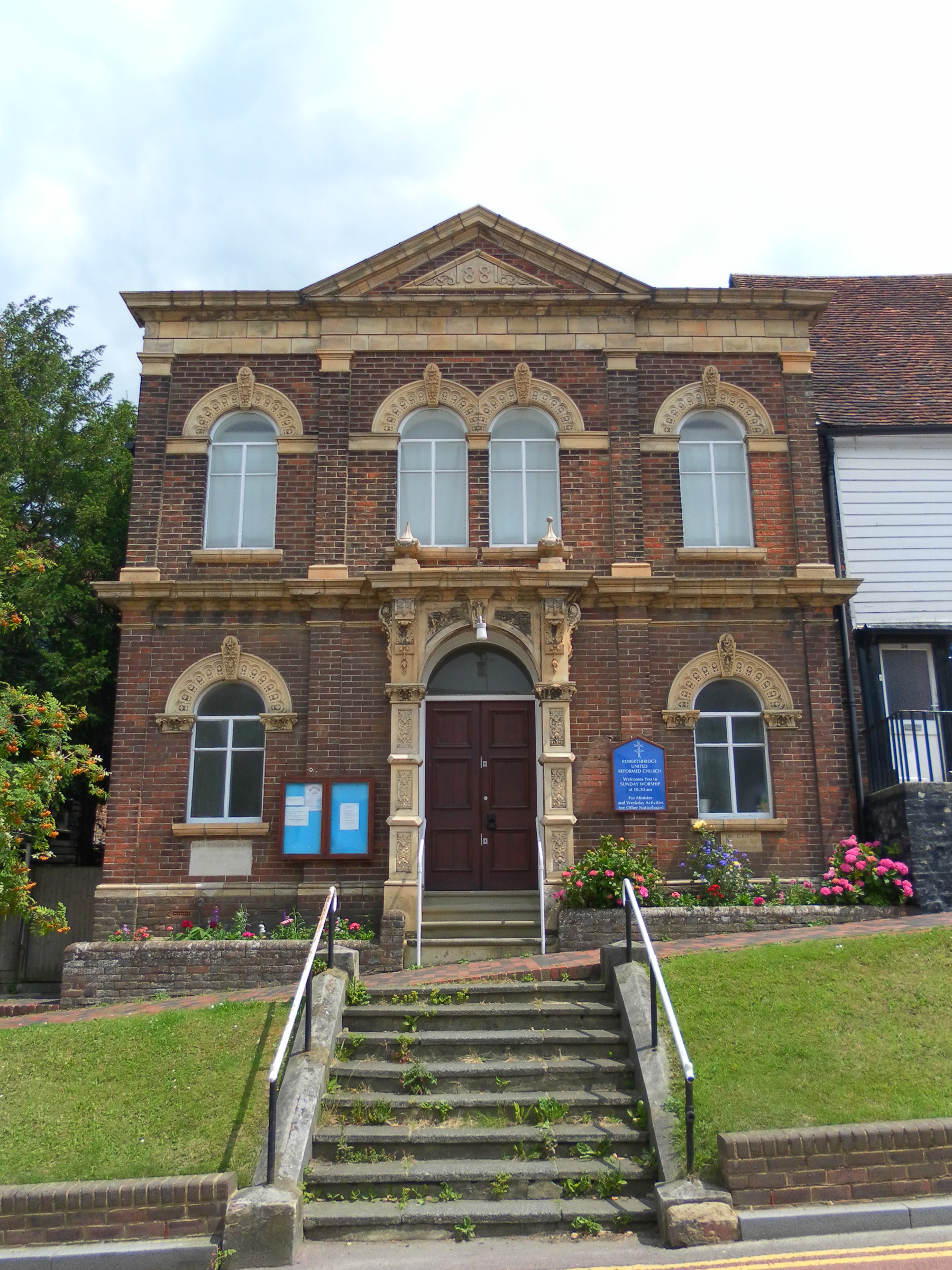
Robertsbridge United Reformed Church
Robertsbridge United Reformed Church (originally Robertsbridge Congregational Chapel) is a former United Reformed Church place of worship in Robertsbridge...
Nearby Amenities
Located within 500m of 50.986475,0.44630765Have you been to Hack Wood?
Leave your review of Hack Wood below (or comments, questions and feedback).