Hoveringham Wood
Wood, Forest in Norfolk King's Lynn and West Norfolk
England
Hoveringham Wood
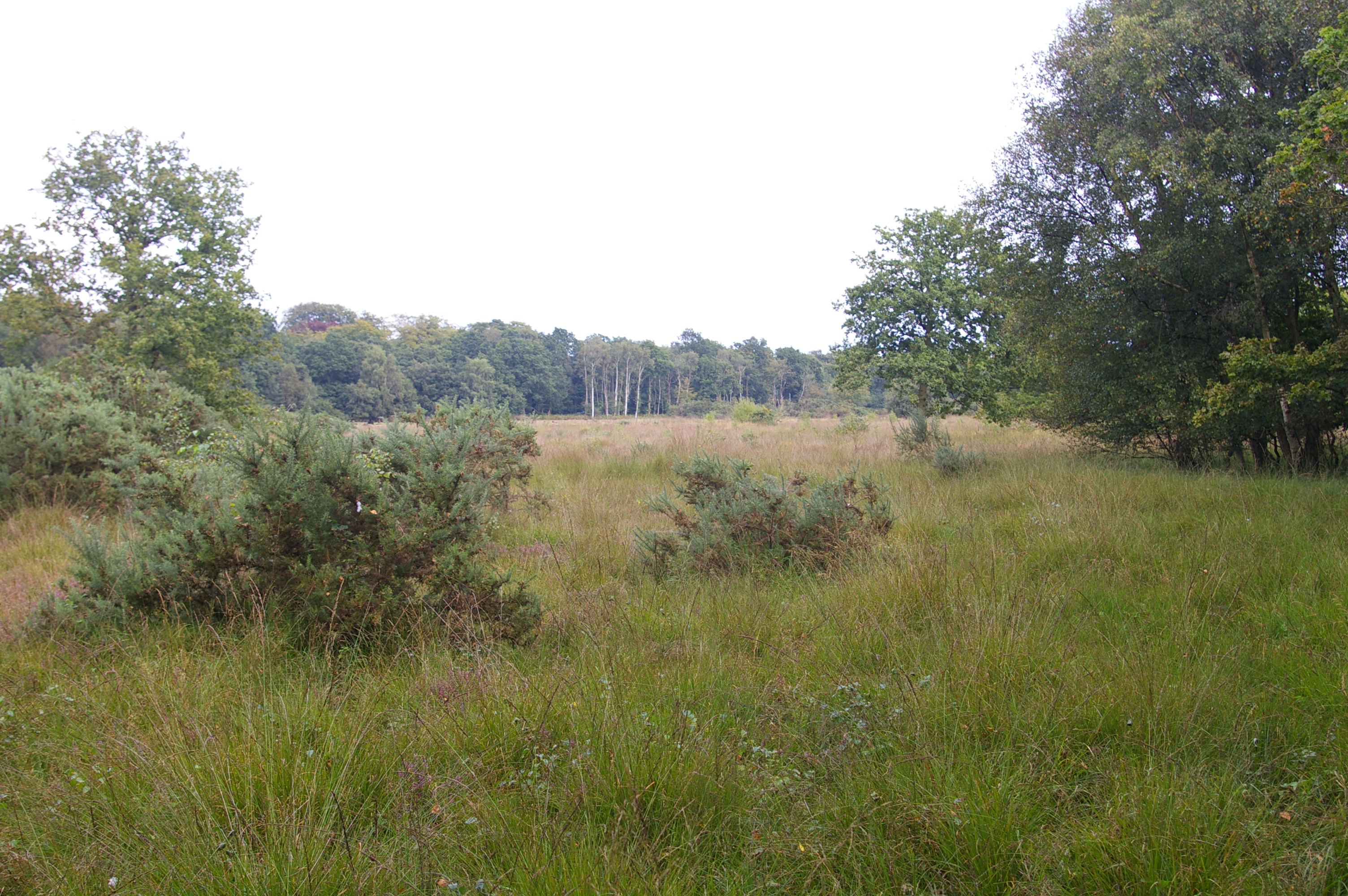
Hoveringham Wood is a picturesque forest located in the county of Norfolk, England. Covering an area of approximately 50 hectares, the wood is situated near the village of Hoveringham and is renowned for its natural beauty and diverse range of flora and fauna.
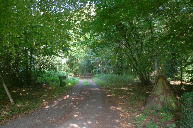
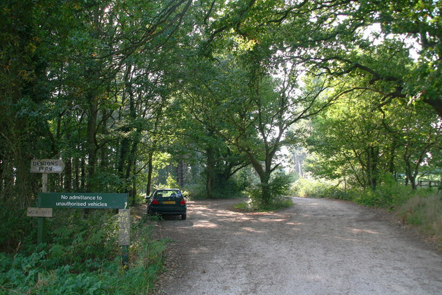
The wood is characterized by its dense canopy of mature trees, predominantly consisting of oak, ash, and birch. These towering trees provide a sheltered habitat for a variety of wildlife, including deer, foxes, and a multitude of bird species. The woodland floor is adorned with a rich carpet of wildflowers during the spring and summer months, creating a vibrant and colorful landscape.
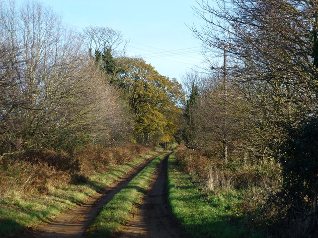
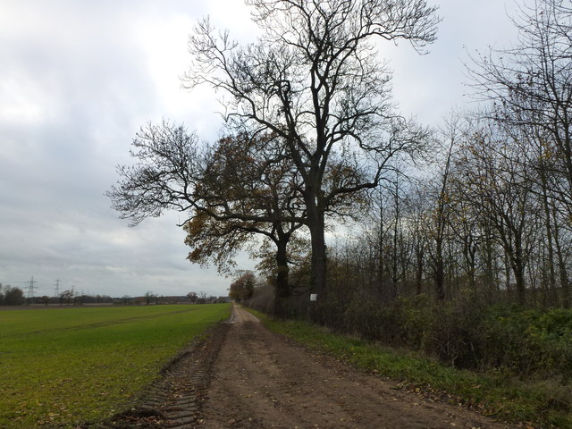
Visitors to Hoveringham Wood can enjoy a network of well-marked trails that wind their way through the forest, providing ample opportunities for leisurely walks, jogging, or cycling. Along these paths, visitors may encounter ancient tree stumps, evidence of the wood's long history. Additionally, there are several designated picnic areas and benches scattered throughout the wood, offering visitors the chance to rest and take in the tranquil surroundings.
Hoveringham Wood is also home to a small pond, which serves as a valuable water source for the local wildlife. The pond attracts a variety of aquatic creatures, including frogs, newts, and dragonflies. It is a popular spot for nature enthusiasts and photographers seeking to capture the beauty of these fascinating creatures.
Overall, Hoveringham Wood offers a peaceful and serene escape into nature, providing visitors with a chance to reconnect with the natural world and immerse themselves in the beauty of the Norfolk countryside.
If you have any feedback on the listing, please let us know in the comments section below.
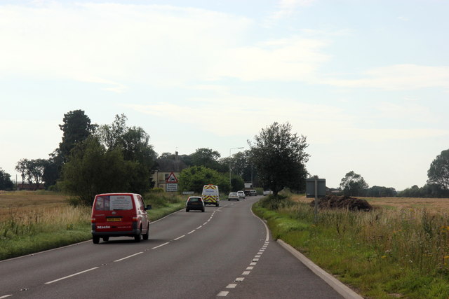
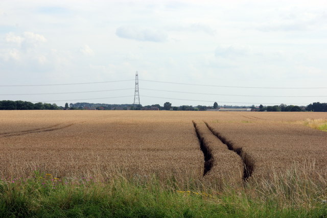
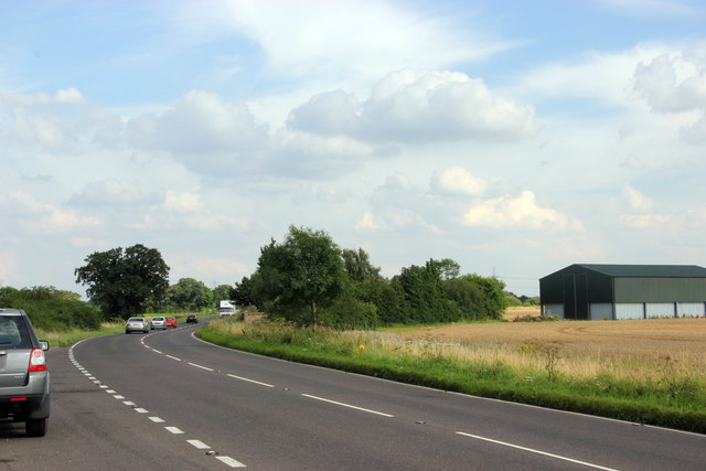
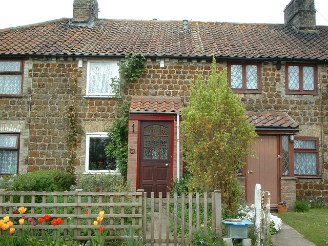
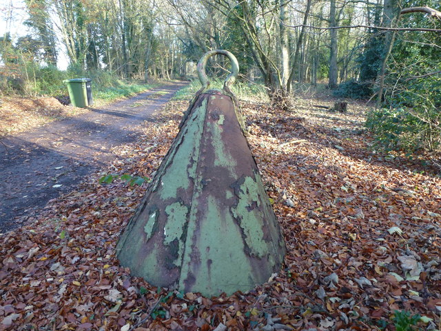
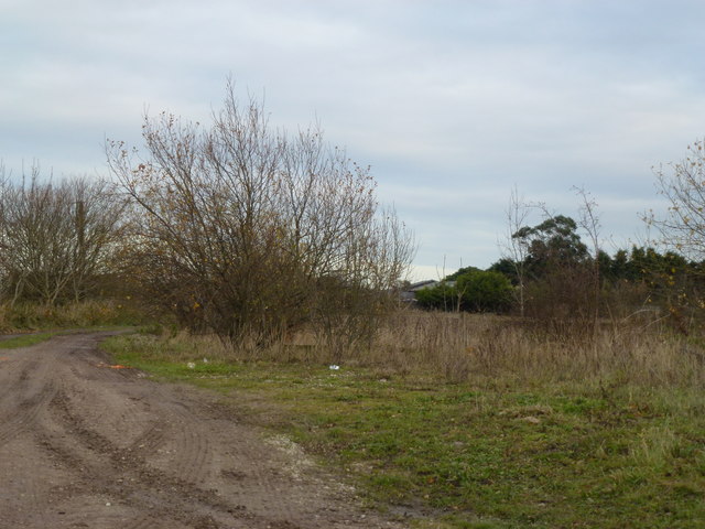
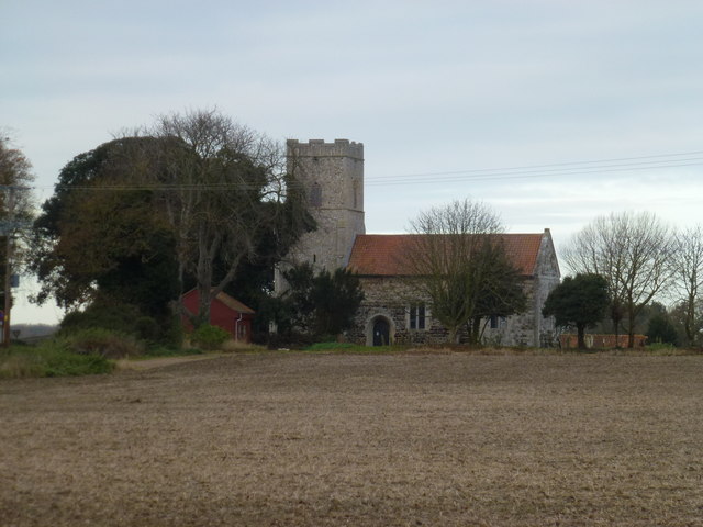
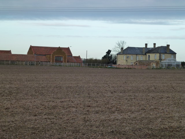
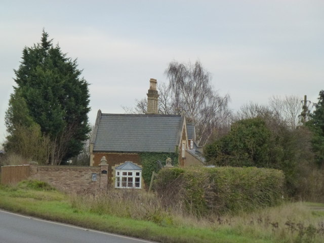
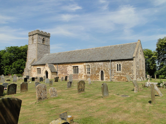
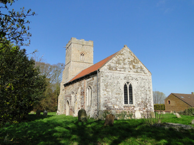
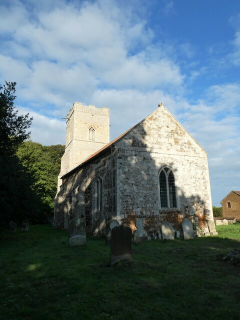
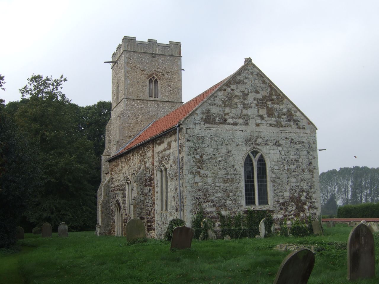
Hoveringham Wood Images
Images are sourced within 2km of 52.696742/0.5397987 or Grid Reference TF7114. Thanks to Geograph Open Source API. All images are credited.
Hoveringham Wood is located at Grid Ref: TF7114 (Lat: 52.696742, Lng: 0.5397987)
Administrative County: Norfolk
District: King's Lynn and West Norfolk
Police Authority: Norfolk
What 3 Words
///flap.niece.about. Near Narborough, Norfolk
Nearby Locations
Related Wikis
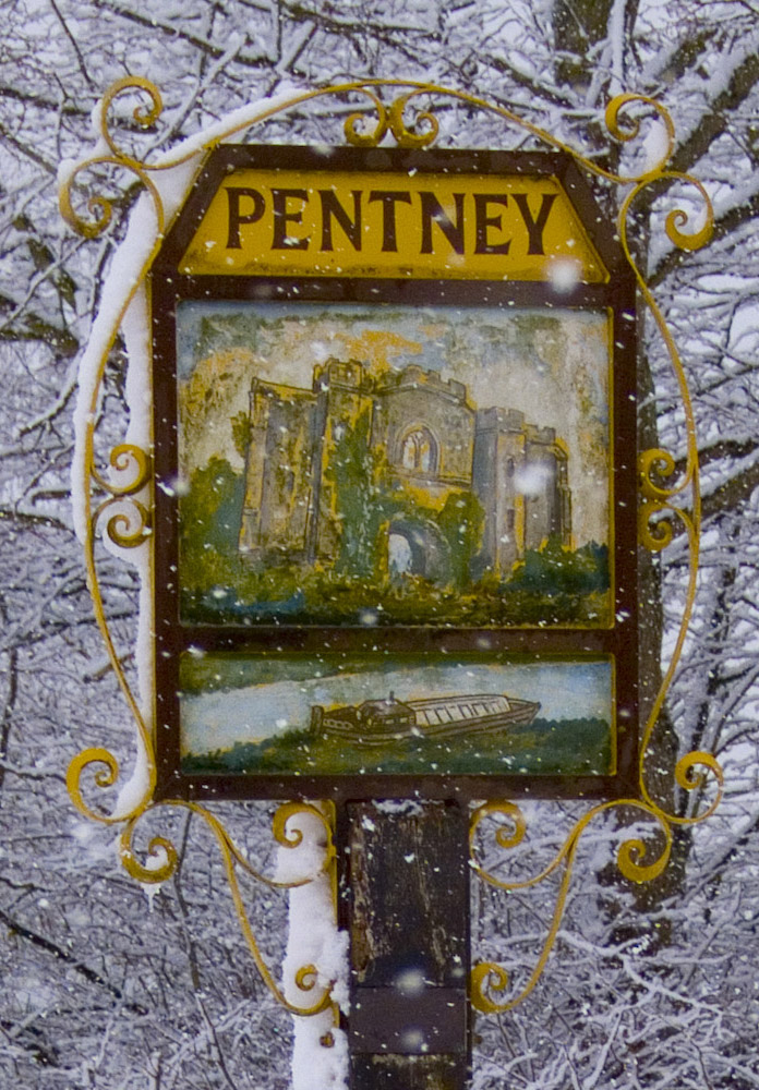
Pentney
Pentney is a village and civil parish in the English county of Norfolk, located about 8 miles (13 km) south east of King's Lynn placing it about halfway...
West Bilney
West Bilney is a village and former civil parish on the A47 road, 32 miles (51 km) west of Norwich, now in the parish of East Winch, in the King's Lynn...

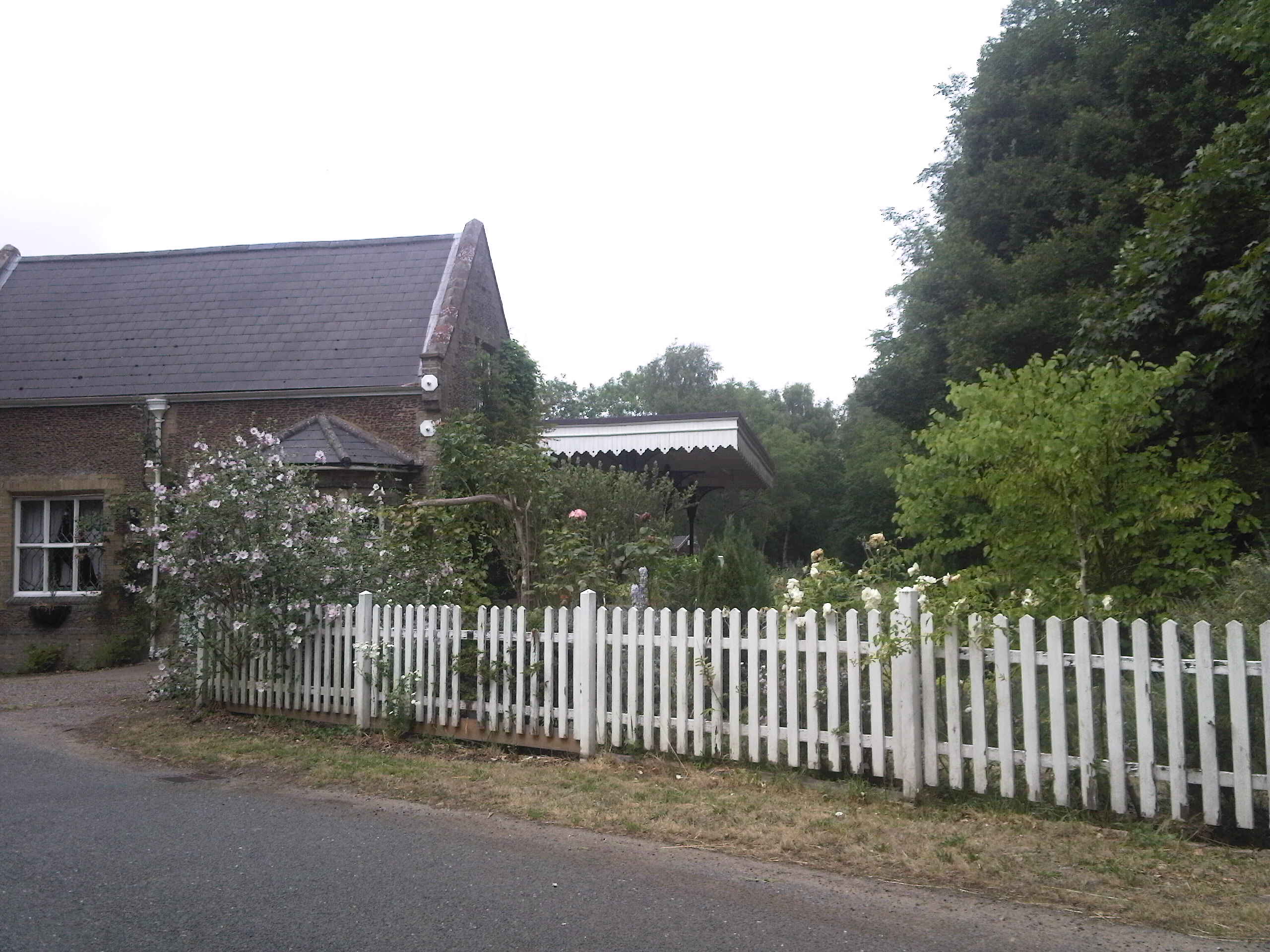
Bilney railway station
Bilney railway station was located on the line between East Winch and Narborough and Pentney. It served the village of West Bilney, and closed in 1866...

Narborough Bone Mill
Narborough Bone Mill was a watermill that operated on the River Nar in the west of the English county of Norfolk. The watermill was 1 mile (1.6 km) downstream...
East Winch Common
East Winch Common is a 26.1-hectare (64-acre) biological Site of Special Scientific Interest south-east of King's Lynn in Norfolk. It is common land and...
Narborough and Pentney railway station
Narborough and Pentney station was in Norfolk, serving the villages of Narborough and Pentney. == History == It was on the line between King's Lynn and...
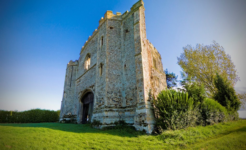
Pentney Priory
Pentney Priory was an Augustinian priory at Pentney in the district of King's Lynn and West Norfolk, Norfolk, England. The ruins of the priory, mostly...

East Walton and Adcock's Common
East Walton and Adcock's Common is a 62.4-hectare (154-acre) biological and geological Site of Special Scientific Interest south-east of King's Lynn in...
Nearby Amenities
Located within 500m of 52.696742,0.5397987Have you been to Hoveringham Wood?
Leave your review of Hoveringham Wood below (or comments, questions and feedback).