Broom Covert
Wood, Forest in Norfolk King's Lynn and West Norfolk
England
Broom Covert
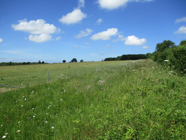
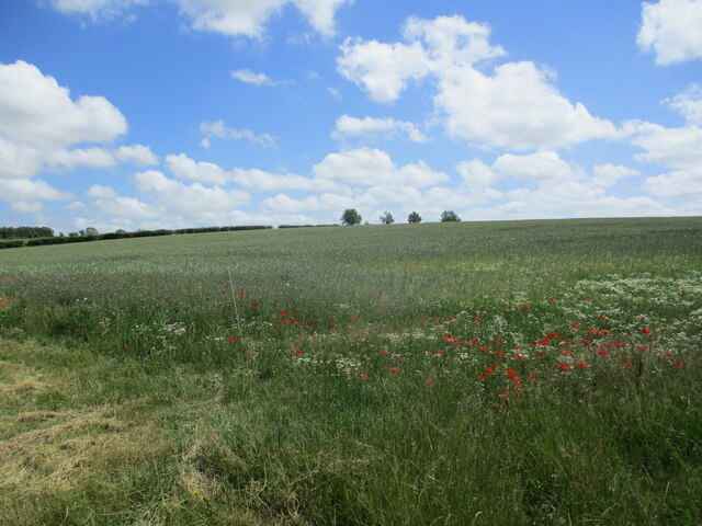
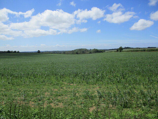
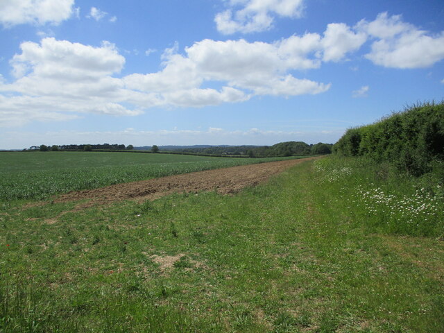
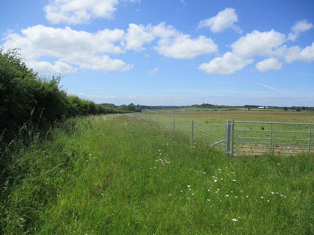
Broom Covert is a picturesque woodland located in the county of Norfolk, England. Situated near the village of Wood, this forested area covers a total of approximately 120 acres. The woodland is characterized by its dense canopy of trees, creating a tranquil and serene environment for both wildlife and visitors alike.
The predominant tree species found in Broom Covert include oak, beech, birch, and pine, among others. These trees provide a diverse habitat for a wide range of fauna, making the woodland a haven for various bird species, small mammals, and insects. The forest floor is covered with a thick carpet of moss, ferns, and wildflowers, adding to the natural beauty of the area.
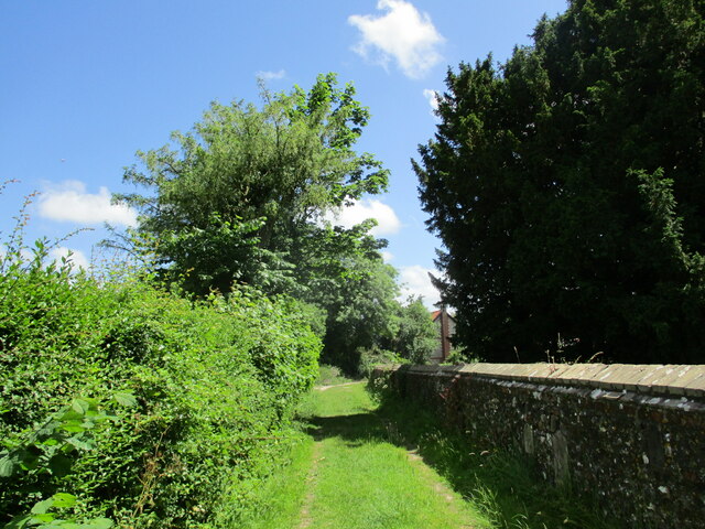
Broom Covert offers numerous walking trails that meander through the woods, allowing visitors to explore and immerse themselves in the peaceful surroundings. These trails are well-maintained and suitable for all levels of fitness, making them accessible to families, hikers, and nature enthusiasts.
The woodland also features several picnic areas, providing visitors with the opportunity to rest and enjoy a meal amidst nature. Additionally, there are information boards scattered throughout the forest, offering educational insights into the local wildlife and flora.
Broom Covert is a popular destination for nature lovers, photographers, and those seeking a break from the hustle and bustle of city life. Its tranquil atmosphere, diverse wildlife, and well-marked trails make it an ideal location for a peaceful retreat or a leisurely stroll through nature.
If you have any feedback on the listing, please let us know in the comments section below.
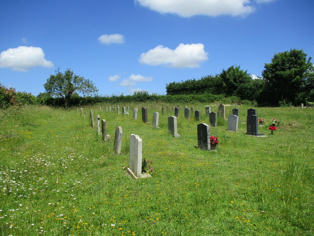
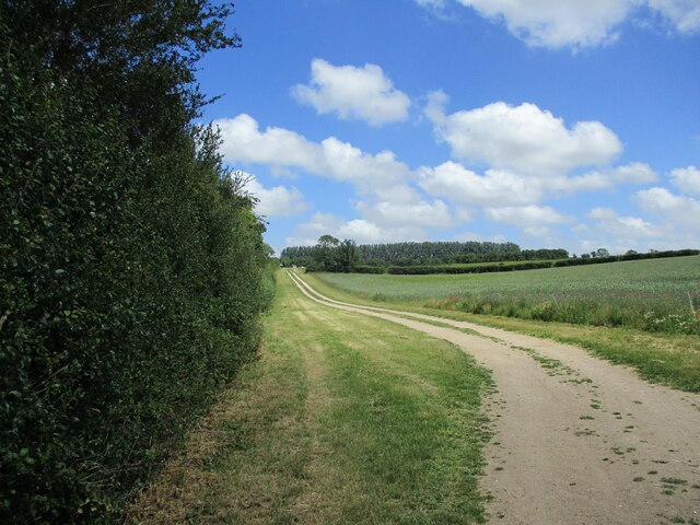
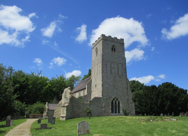
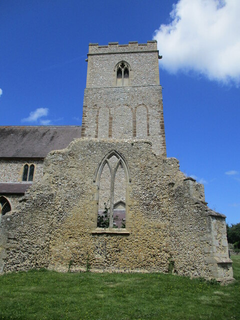
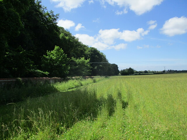
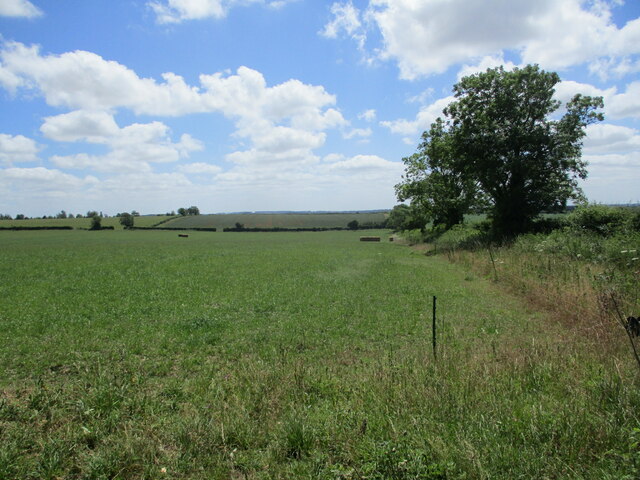
Broom Covert Images
Images are sourced within 2km of 52.805502/0.54551162 or Grid Reference TF7126. Thanks to Geograph Open Source API. All images are credited.


Broom Covert is located at Grid Ref: TF7126 (Lat: 52.805502, Lng: 0.54551162)
Administrative County: Norfolk
District: King's Lynn and West Norfolk
Police Authority: Norfolk
What 3 Words
///onwards.dreading.followers. Near Grimston, Norfolk
Nearby Locations
Related Wikis

Hillington, Norfolk
Hillington is a village and civil parish in the English county of Norfolk. It covers an area of 10.27 km2 (3.97 sq mi) and had a population of 287 in 123...

Flitcham with Appleton
Flitcham with Appleton is a civil parish in the English county of Norfolk. It covers an area of 17.08 km2 (6.59 sq mi) and had a population of 236 in 96...

Hillington railway station
Hillington railway station was a station in Hillington, Norfolk on the now closed Midland and Great Northern Joint Railway line between South Lynn and...

Flitcham, Norfolk
Flitcham is a village and civil parish in the English county of Norfolk. The village is located 7.1 miles (11.4 km) north-east of King's Lynn and 33 miles...

River Cong (Norfolk)
The River Cong is a stream in the west of the county of Norfolk, only 1.5 miles (2.4 km) in length. It is a tributary of the River Babingley. The spring...
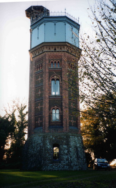
Appleton Water Tower
The Appleton Water Tower is a Victorian water tower located in Sandringham, Norfolk. It was constructed in 1877 to improve the quality of the water supply...

West Newton, Norfolk
West Newton is a village and former civil parish, now in the parish of Sandringham, in the King's Lynn and West Norfolk district, in the north of the county...

Congham
Congham is a village and civil parish in the English county of Norfolk. It is situated some 6 miles (10 km) east of the town of King's Lynn and 34 miles...
Nearby Amenities
Located within 500m of 52.805502,0.54551162Have you been to Broom Covert?
Leave your review of Broom Covert below (or comments, questions and feedback).