Bloomfield's Wood
Wood, Forest in Suffolk West Suffolk
England
Bloomfield's Wood

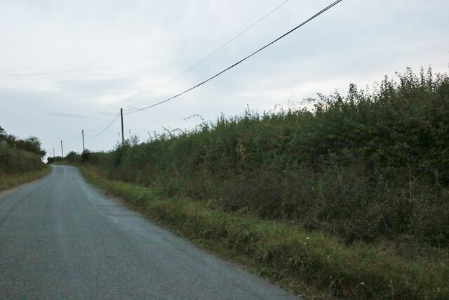
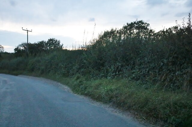
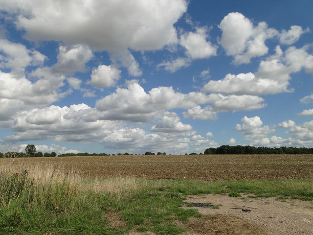
Bloomfield's Wood is a picturesque woodland located in the county of Suffolk, England. This enchanting forest covers an area of approximately 50 acres and is renowned for its natural beauty and diverse ecosystem. The wood is nestled within the heart of the Suffolk countryside, offering visitors a tranquil escape from the hustle and bustle of urban life.
This ancient woodland is believed to have existed for centuries, with some of its trees dating back to over 200 years. It is characterized by a rich variety of tree species, including oak, beech, ash, and birch, which create a dense canopy that provides shade and shelter for an array of wildlife.
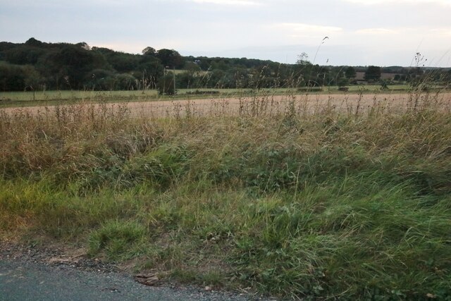
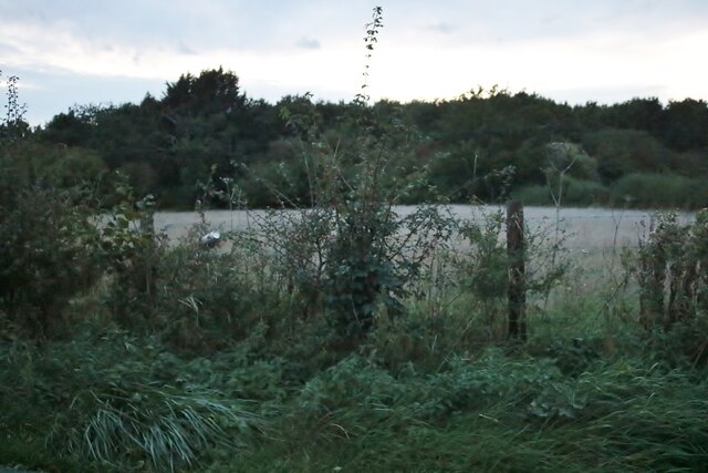
The wood is a haven for nature enthusiasts, offering an abundance of flora and fauna. Bluebells carpet the forest floor in the spring, creating a breathtaking display of vibrant colors. The woodland is also home to a diverse range of bird species, such as woodpeckers, nightingales, and tawny owls, making it a popular spot for birdwatching.
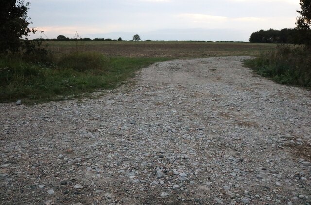
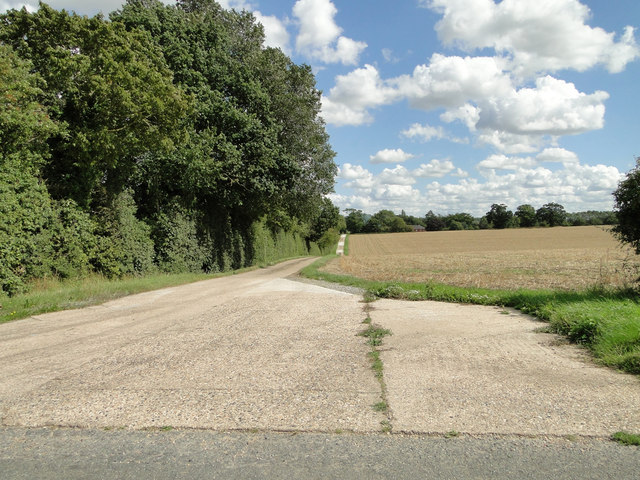
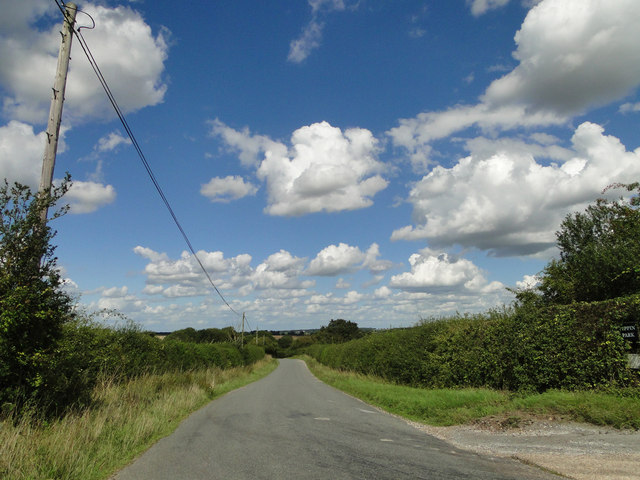
Visitors to Bloomfield's Wood can enjoy a network of well-maintained walking trails, allowing them to explore the forest and discover its hidden treasures. The wood is also intersected by a small stream, adding to its charm and providing a peaceful setting for picnics or simply enjoying the sounds of nature.
Bloomfield's Wood is a true gem of Suffolk, offering a serene and idyllic retreat for those seeking a connection with nature. Its enchanting beauty and rich biodiversity make it a must-visit destination for anyone exploring the Suffolk countryside.
If you have any feedback on the listing, please let us know in the comments section below.
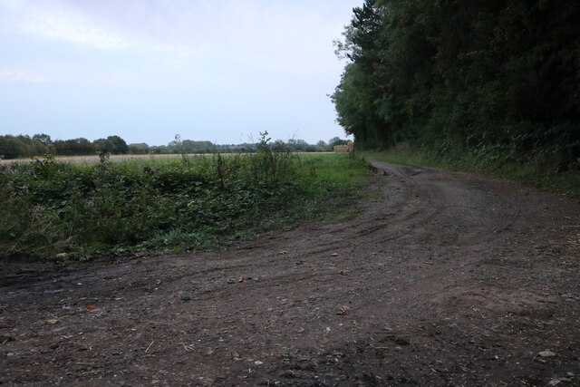
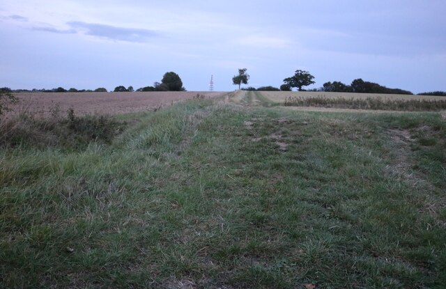
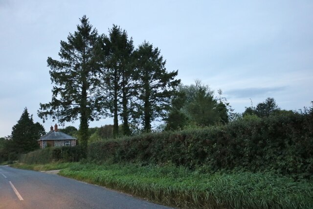
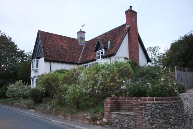
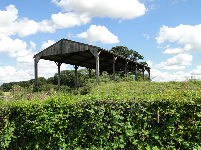
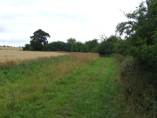
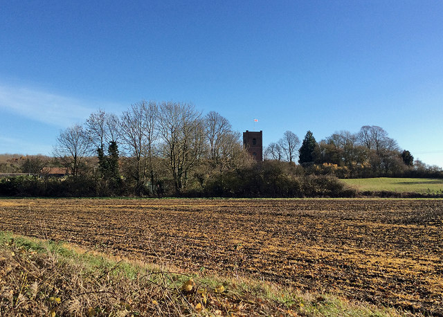
Bloomfield's Wood Images
Images are sourced within 2km of 52.174738/0.50791507 or Grid Reference TL7155. Thanks to Geograph Open Source API. All images are credited.

Bloomfield's Wood is located at Grid Ref: TL7155 (Lat: 52.174738, Lng: 0.50791507)
Administrative County: Suffolk
District: West Suffolk
Police Authority: Suffolk
What 3 Words
///myself.unclaimed.weekday. Near Kedington, Suffolk
Nearby Locations
Related Wikis

Lidgate
Lidgate is a small village and a civil parish in the West Suffolk district, in the English county of Suffolk. Lidgate is located on the B1063 road in between...

Cowlinge
Cowlinge (/ˈkuː.lɪnʤ/), pronounced "Coolinje", is a village and civil parish in the West Suffolk district of Suffolk in eastern England close to the Cambridgeshire...

Upend
Upend is a hamlet in the east of Cambridgeshire. It is five miles (8.0 km) south-east of Newmarket and lies in the same parish as Kirtling. Until the...
Lidgate Castle
Lidgate Castle is a medieval motte and bailey castle in the village of Lidgate, Suffolk, England, built to an unusual quadrangular design. == Details... ==

Kirtling
Kirtling, together with Kirtling Green and Kirtling Towers, is a scattered settlement in the south-eastern edge of the English county of Cambridgeshire...

Wickhambrook
Wickhambrook is a village and civil parish in the West Suffolk district of Suffolk in eastern England. It is about ten miles (16 km) south-west from Bury...

Kirtling Tower
Kirtling Tower was a medieval castle and Tudor country house in Kirtling, Cambridgeshire, England, of which the gatehouse still remains. == History... ==
Coltsfoot Green
Coltsfoot Green is a small hamlet within the village of Wickhambrook, Suffolk, England. It constitutes one of its eleven village greens and consists of...
Nearby Amenities
Located within 500m of 52.174738,0.50791507Have you been to Bloomfield's Wood?
Leave your review of Bloomfield's Wood below (or comments, questions and feedback).