Denbeck Wood
Wood, Forest in Norfolk King's Lynn and West Norfolk
England
Denbeck Wood
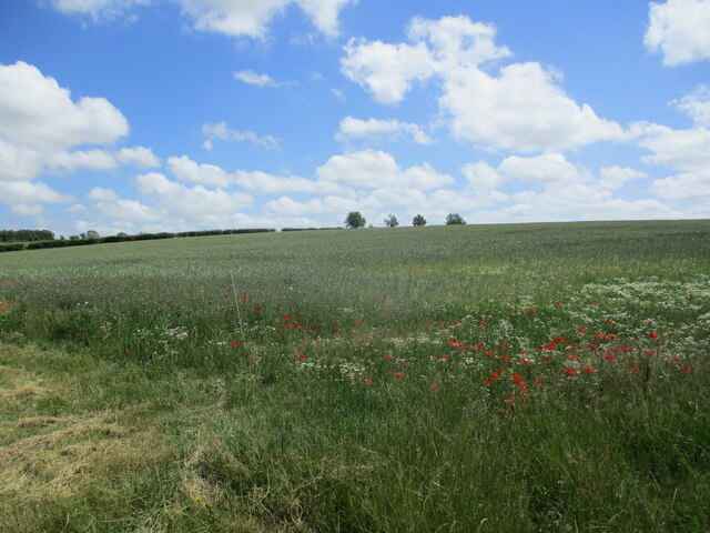
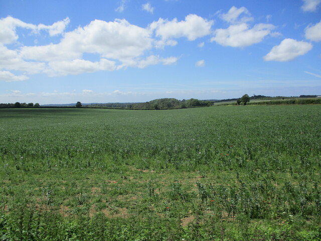
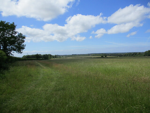
Denbeck Wood is a pristine woodland located in the county of Norfolk, England. Covering an area of approximately 100 hectares, it is a significant natural asset within the region. The wood is situated near the village of Denbeck and is easily accessible, attracting both locals and visitors who seek solace in nature.
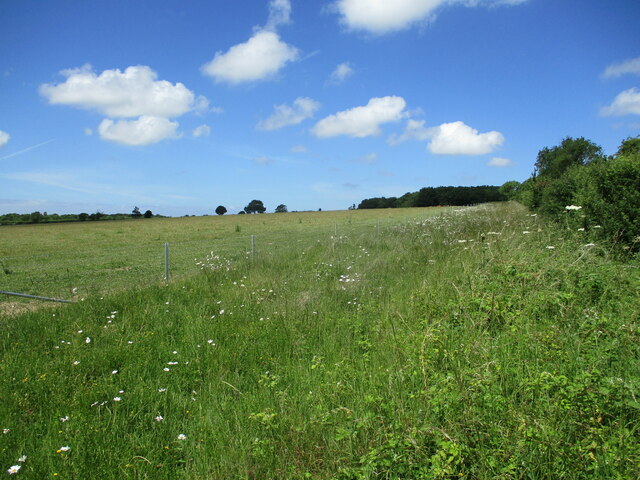
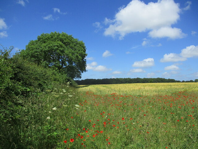
The woodland boasts a diverse range of tree species, including oak, beech, ash, and birch, which create a vibrant and varied landscape. The dense canopy provides excellent shade during the summer months, making it an ideal spot for picnics and nature walks. The forest floor is adorned with a carpet of wildflowers, enhancing the picturesque scenery.
Denbeck Wood is renowned for its rich biodiversity. It is home to various bird species, such as woodpeckers, owls, and wrens, making it a haven for birdwatching enthusiasts. The wood also supports a variety of mammals, including foxes, badgers, and deer, which can occasionally be spotted by lucky observers.
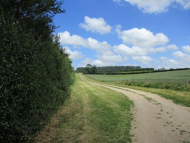
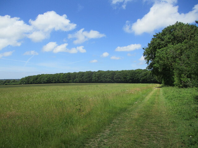
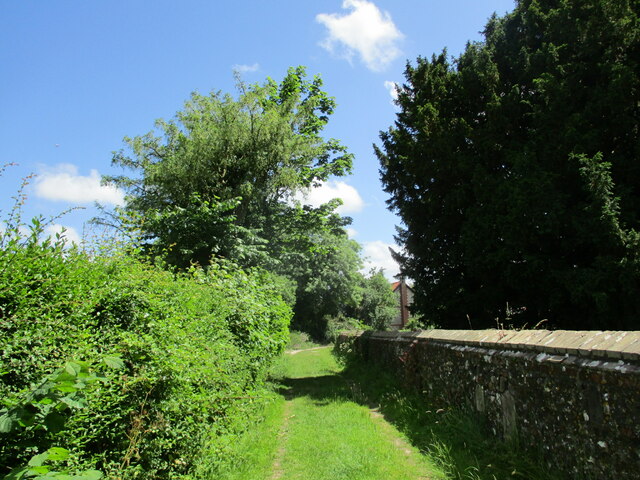
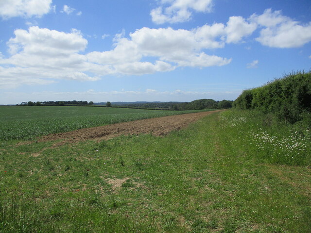
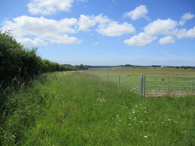
The wood is intersected by well-maintained footpaths, allowing visitors to explore its beauty at their own pace. There are also designated cycling routes for those who prefer a more active experience. The management of the wood ensures that it remains a safe and enjoyable environment for all visitors.
Denbeck Wood is not only a place of natural beauty but also serves as an educational resource. The woodland hosts guided tours and workshops, providing visitors with the opportunity to learn about the local flora and fauna and the importance of preserving such ecosystems.
Overall, Denbeck Wood offers a serene and enchanting retreat for nature lovers, providing an escape from the hustle and bustle of everyday life while promoting conservation and education.
If you have any feedback on the listing, please let us know in the comments section below.
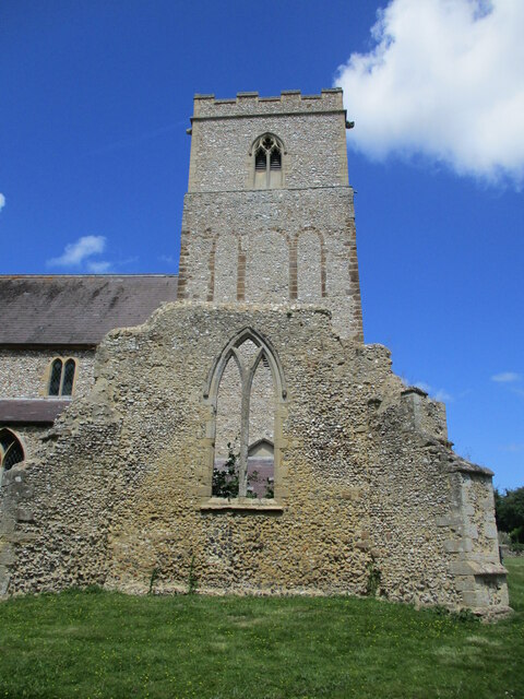
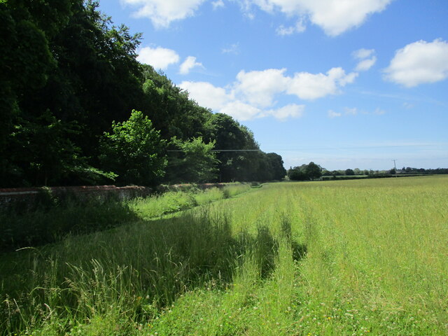
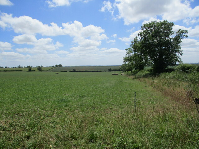
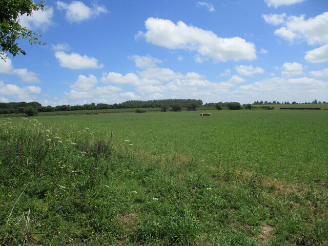
Denbeck Wood Images
Images are sourced within 2km of 52.818311/0.54029378 or Grid Reference TF7127. Thanks to Geograph Open Source API. All images are credited.

Denbeck Wood is located at Grid Ref: TF7127 (Lat: 52.818311, Lng: 0.54029378)
Administrative County: Norfolk
District: King's Lynn and West Norfolk
Police Authority: Norfolk
What 3 Words
///crockery.traded.charted. Near Dersingham, Norfolk
Nearby Locations
Related Wikis
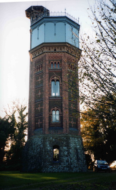
Appleton Water Tower
The Appleton Water Tower is a Victorian water tower located in Sandringham, Norfolk. It was constructed in 1877 to improve the quality of the water supply...

Flitcham with Appleton
Flitcham with Appleton is a civil parish in the English county of Norfolk. It covers an area of 17.08 km2 (6.59 sq mi) and had a population of 236 in 96...

Flitcham, Norfolk
Flitcham is a village and civil parish in the English county of Norfolk. The village is located 7.1 miles (11.4 km) north-east of King's Lynn and 33 miles...

West Newton, Norfolk
West Newton is a village and former civil parish, now in the parish of Sandringham, in the King's Lynn and West Norfolk district, in the north of the county...

York Cottage
York Cottage is a house in the grounds of Sandringham House in Norfolk, England. == History == The cottage was originally called the Bachelor's Cottage...
Sandringham, Norfolk
Sandringham is a village and civil parish in the north of the English county of Norfolk. The village is situated 2 kilometres (1.2 mi) south of Dersingham...

River Cong (Norfolk)
The River Cong is a stream in the west of the county of Norfolk, only 1.5 miles (2.4 km) in length. It is a tributary of the River Babingley. The spring...

Hillington, Norfolk
Hillington is a village and civil parish in the English county of Norfolk. It covers an area of 10.27 km2 (3.97 sq mi) and had a population of 287 in 123...
Nearby Amenities
Located within 500m of 52.818311,0.54029378Have you been to Denbeck Wood?
Leave your review of Denbeck Wood below (or comments, questions and feedback).