Kentford Belt

Wood, Forest in Suffolk West Suffolk

England

Kentford Belt

Herringswell road
Herringswell road Credit: Dave Thompson

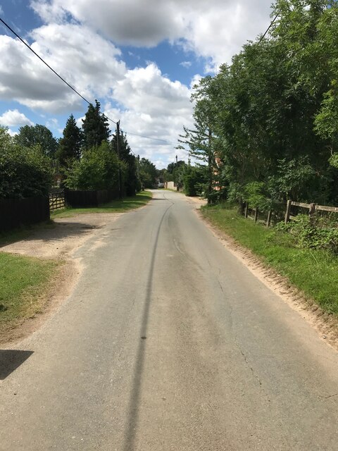
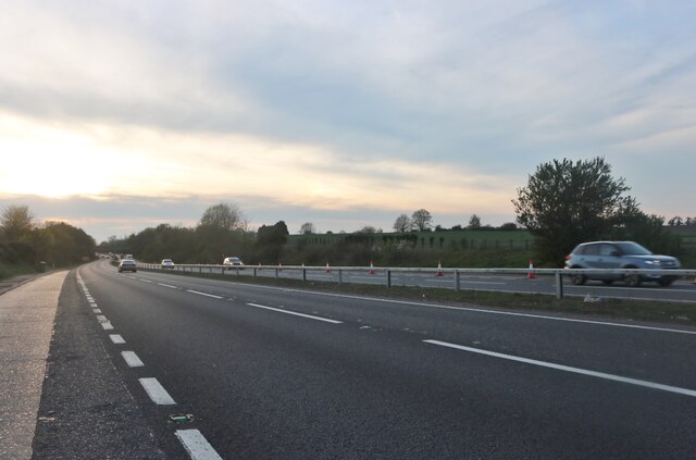
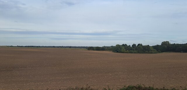
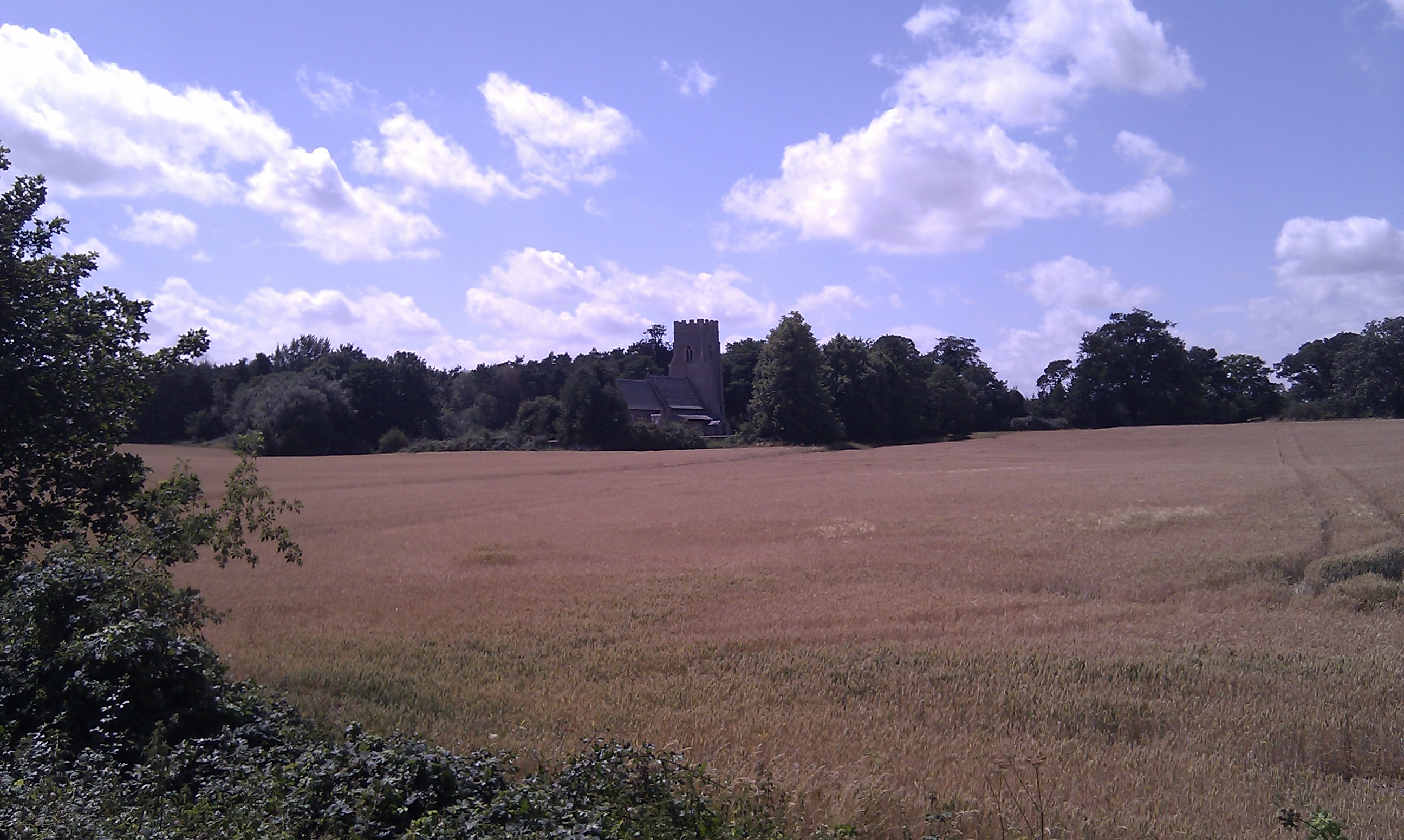
Kentford Belt is a picturesque woodland area located in the county of Suffolk, England. Situated near the village of Kentford, it is known for its breathtaking natural beauty and diverse range of flora and fauna. The belt is characterized by its dense forest cover, making it a haven for nature enthusiasts and wildlife lovers.

Covering an area of approximately 200 acres, Kentford Belt is home to a variety of tree species, including oak, beech, birch, and pine. The towering trees create a serene and tranquil atmosphere, providing a perfect escape from the hustle and bustle of everyday life. The forest floor is carpeted with an array of wildflowers and ferns, adding to the area's charm.

The woodland provides a habitat for numerous wildlife species, making it a popular spot for birdwatching and animal spotting. Visitors may be lucky enough to catch a glimpse of deer, foxes, rabbits, and a wide range of bird species such as woodpeckers, owls, and warblers.

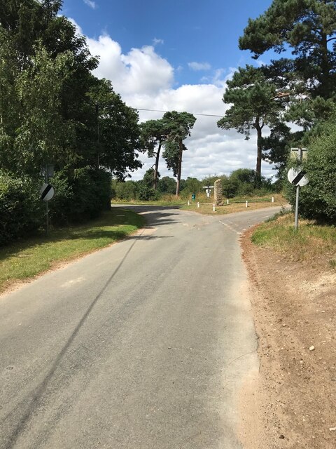
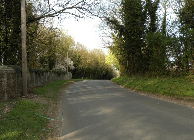
Kentford Belt also offers various walking trails and paths, allowing visitors to explore the area at their own pace. The well-maintained trails wind their way through the forest, offering stunning views of the surrounding countryside. It is advisable to bring appropriate footwear and clothing, especially during wet weather, as some parts of the trails can become muddy.

Overall, Kentford Belt in Suffolk is a hidden gem for nature lovers, offering a peaceful retreat where one can connect with nature and enjoy the beauty of a well-preserved woodland.

If you have any feedback on the listing, please let us know in the comments section below.

Kentford Belt Images

Images are sourced within 2km of 52.291541/0.50669311 or Grid Reference TL7168. Thanks to Geograph Open Source API. All images are credited.

Herringswell road
Herringswell road
Herringswell Church
Herringswell Church
Herringswell junction
Newmarket Road, Kentford
The Davies Memorial Hall, Herringwell
Herringswell Church
Herringswell Church
Farmland seen from the back of Kennett Churchyard
Fields north of Kentford, from the railway
Dane Hill Road in Kennett
St Ethelbert Herringswell The church of St Ethelbert Herringswell, Suffolk for more info see <span class="nowrap"><a title="http://www.suffolkchurches.co.uk/herringswell.htm" rel="nofollow ugc noopener" href="http://www.suffolkchurches.co.uk/herringswell.htm">Link</a><img style="margin-left:2px;" alt="External link" title="External link - shift click to open in new window" src="https://s1.geograph.org.uk/img/external.png" width="10" height="10"/></span>
St Ethelbert Herringswell
The church of St Ethelbert Herringswell, Suffolk for more info see LinkExternal link
Telegraph Pole And Tree Telegraph pole and tree at Herringswell, Suffolk see <a title="https://www.geograph.org.uk/photo/2808099" href="https://www.geograph.org.uk/photo/2808099">Link</a> to view the suppory wire having grown inside the tree.
Telegraph Pole And Tree
Telegraph pole and tree at Herringswell, Suffolk see Link to view the suppory wire having grown inside the tree.
Telegraph Pole Support Wire A telegraph support wire having had a tree growing around it at Herringswell, Suffolk. See <a title="https://www.geograph.org.uk/photo/2808092" href="https://www.geograph.org.uk/photo/2808092">Link</a> for overall view.
Telegraph Pole Support Wire
A telegraph support wire having had a tree growing around it at Herringswell, Suffolk. See Link for overall view.
Distorted Trees Distorted trees on the long distance footpath The Icknield Way near to Herringswell, Suffolk.
Distorted Trees
Distorted trees on the long distance footpath The Icknield Way near to Herringswell, Suffolk.
Private no Dogs Please Private woodland off the long distance footpath The Icknield Way near to Herringswell, Suffolk.
Private no Dogs Please
Private woodland off the long distance footpath The Icknield Way near to Herringswell, Suffolk.
Open Field Looking across an open field to Tubb's Plantation near to Herringswell, Suffolk.
Open Field
Looking across an open field to Tubb's Plantation near to Herringswell, Suffolk.
No Unauthorised Riding No unauthorised riding sign of the long distance footpath The Icknield Way near to Herringswell, Suffolk.
No Unauthorised Riding
No unauthorised riding sign of the long distance footpath The Icknield Way near to Herringswell, Suffolk.
Footpath Footpath looking south east near to Kentford, Suffolk.
Footpath
Footpath looking south east near to Kentford, Suffolk.
Show me another place!

Kentford Belt is located at Grid Ref: TL7168 (Lat: 52.291541, Lng: 0.50669311)

Administrative County: Suffolk

District: West Suffolk

Police Authority: Suffolk

What 3 Words

///shadows.dimes.fattening. Near Mildenhall, Suffolk

Related Wikis

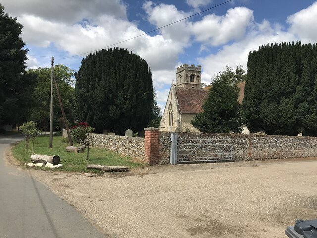
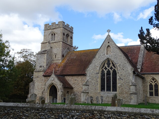
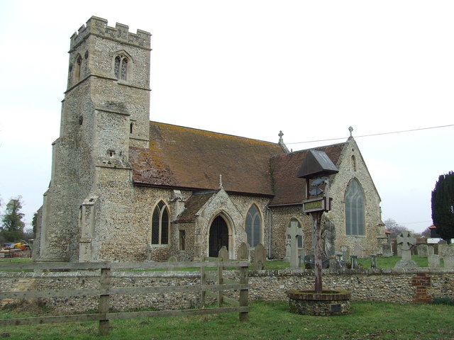
St Nicholas Church, Kennett

St Nicholas Church is the parish church of the village of Kennett in east Cambridgeshire. It has been dedicated to St Nicholas since the 13th century....

Herringswell

Herringswell is a village and civil parish in the West Suffolk district of Suffolk in eastern England. In 2005 it had a population of 190. In 2007 there...

Kennett, Cambridgeshire

Kennett is a small village and civil parish at the very eastern tip of Cambridgeshire, England. Situated around 2.5 miles (4.0 km) north-east of Newmarket...

Red Lodge, Suffolk

Red Lodge is a village and civil parish situated in rural Suffolk, England, between Mildenhall and Newmarket, and very close to the A11 and A14 roads....

Red Lodge Heath

Red Lodge Heath is a 20.8-hectare (51-acre) biological Site of Special Scientific Interest in Red Lodge in Suffolk.Habitats on this site are chalk grassland...

Kennett railway station

Kennett is a railway station serving the villages of Kennett in Cambridgeshire and Kentford in Suffolk, England. It opened in 1854 when the railway was...

Kentford

Kentford is a village and civil parish located in the West Suffolk district of Suffolk in eastern England. Situated on the banks of the River Kennet, the...

Shi-Tennoji School in UK

Shi-Tennoji School in UK (英国四天王寺学園, Eikoku Shitennōji Gakuen) was a Japanese international secondary school in Herringswell, Suffolk, England, United Kingdom...

Nearby Amenities

Located within 500m of 52.291541,0.50669311
Power: pole
Lat/Long: 52.2903405/0.5120016
Power: pole
Lat/Long: 52.2905046/0.5075545
Power: pole
Lat/Long: 52.2889279/0.5020237
Power: pole
Lat/Long: 52.2899238/0.5047757
Power: pole
Lat/Long: 52.2905931/0.5137825
Power: pole
Lat/Long: 52.2903011/0.5090753
Power: pole
Lat/Long: 52.2901469/0.5105424
Power: pole
Lat/Long: 52.2906801/0.5060095
Power: pole
Lat/Long: 52.2891264/0.5034936
Power: pole
Lat/Long: 52.2955755/0.5060737
Power: pole
Lat/Long: 52.2950604/0.50429
Power: pole
Lat/Long: 52.2923585/0.50322
Power: pole
Lat/Long: 52.2914135/0.5032682
Power: pole
Lat/Long: 52.2905883/0.5033299
Power: pole
Lat/Long: 52.289791/0.5033514
Power: pole
Lat/Long: 52.2890067/0.5034023
The data included in this document is from www.openstreetmap.org. The data is made available under ODbL.

Have you been to Kentford Belt?

Leave your review of Kentford Belt below (or comments, questions and feedback).