Gotham Wood

Wood, Forest in Sussex Rother

England

Gotham Wood

Little Common Football Club View of covered stands at the main pitch at Little Common Recreation Ground.
Little Common Football Club Credit: Leon Pettit

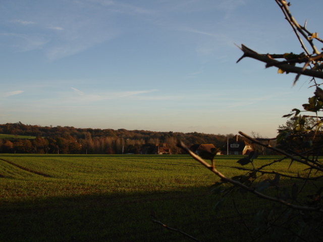
Gotham Wood is a picturesque forest located in the county of Sussex, England. Spread across an area of approximately 500 acres, it is a popular destination for nature enthusiasts, hikers, and birdwatchers. The wood is located just south of the village of Gotham, adding to its charm and accessibility.

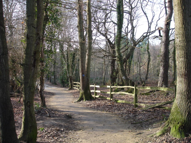
The woodland is predominantly composed of broadleaf trees, including oak, beech, and ash, which create a dense and lush canopy. This provides a home to a diverse range of wildlife, including various species of birds, mammals, and insects. The forest floor is covered with a thick carpet of ferns, mosses, and wildflowers, enhancing its natural beauty.

Gotham Wood is intersected by several meandering footpaths and trails, allowing visitors to explore and experience its tranquil ambiance. The paths are well-maintained and signposted, making it easy to navigate through the woodland. Along the way, visitors may come across small streams and ponds, adding to the overall serenity of the surroundings.

The forest is particularly famous for its rich birdlife, with species such as woodpeckers, nightingales, and owls frequently spotted among the treetops. Birdwatchers are often treated to the melodious songs and vibrant plumage of these avian inhabitants.

Gotham Wood offers a peaceful retreat away from the hustle and bustle of city life, providing an opportunity to reconnect with nature. Whether it's a leisurely stroll, a birdwatching expedition, or simply enjoying a picnic amidst the beauty of the woods, Gotham Wood is a haven for those seeking solace in the great outdoors.

If you have any feedback on the listing, please let us know in the comments section below.
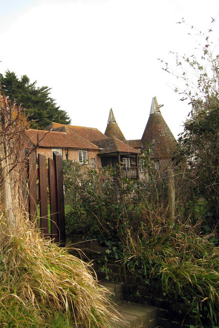
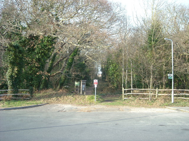
Gotham Wood Images

Images are sourced within 2km of 50.857492/0.42428864 or Grid Reference TQ7009. Thanks to Geograph Open Source API. All images are credited.

Little Common Football Club View of covered stands at the main pitch at Little Common Recreation Ground.
Little Common Football Club
View of covered stands at the main pitch at Little Common Recreation Ground.
Little Common FC Little Common vs Saltdean United in the Southern Combination Premier Division.
Little Common FC
Little Common vs Saltdean United in the Southern Combination Premier Division.
Postbox in Cooden Sea Road, Little Common
Cooden Sea Road, Cooden, Sussex
Cemetery Bexhill-on-Sea East Sussex The Cemetery at Bexhill-on-Sea East Sussex.The sea is in the background behind the trees.
Cemetery Bexhill-on-Sea East Sussex
The Cemetery at Bexhill-on-Sea East Sussex.The sea is in the background behind the trees.
Coneyburrow Lane Nr Little Common Bexhill-on-Sea East Sussex Coneyburrow Lane going towards the A259 from Hooe Nr Bexhill East Sussex
Coneyburrow Lane Nr Little Common Bexhill-on-Sea East Sussex
Coneyburrow Lane going towards the A259 from Hooe Nr Bexhill East Sussex
Footpath from Coneyburrow Lane to Whydown East Sussex Footpath in Coneyburrow Lane across the farmland to Whydown near Hooe, East Sussex.
Footpath from Coneyburrow Lane to Whydown East Sussex
Footpath in Coneyburrow Lane across the farmland to Whydown near Hooe, East Sussex.
Farmland at Whydown East Sussex Farmland at Whydown from the Whydown Road looking towards High Woods Nr Hooe East Sussex
Farmland at Whydown East Sussex
Farmland at Whydown from the Whydown Road looking towards High Woods Nr Hooe East Sussex
Broad Oak  Park  Bexhill-on-Sea East Sussex Broad Oak Park. Farmland looking towards Highwoods golf course and Turkey Road Bexhill-on-Sea.
Broad Oak Park Bexhill-on-Sea East Sussex
Broad Oak Park. Farmland looking towards Highwoods golf course and Turkey Road Bexhill-on-Sea.
Road Little Common East Sussex Pear Tree Lane heading south into the village of Little Common which is on the A259
Road Little Common East Sussex
Pear Tree Lane heading south into the village of Little Common which is on the A259
High Woods Nr Little Common East Sussex Woodland near Peartree Lane.While we were in this wood we saw a white Squirrel which I took a photo of.
High Woods Nr Little Common East Sussex
Woodland near Peartree Lane.While we were in this wood we saw a white Squirrel which I took a photo of.
Farmland Nr Little Common East Sussex View looking across farmland to Picknill Green from Sandhurst Lane which joins Conneyburrow Lane.
Farmland Nr Little Common East Sussex
View looking across farmland to Picknill Green from Sandhurst Lane which joins Conneyburrow Lane.
Footpath next to Cooden Wood Cooden Wood is on the right whilst the footpath leads to the deserted village of Northeye.
Footpath next to Cooden Wood
Cooden Wood is on the right whilst the footpath leads to the deserted village of Northeye.
Trail through High Woods The woods are managed and have been preserved by the Highwoods Preservation Society in conjunction with Rother District Council since 1980. They are open to the public and have trails around them usually marked by a colour, in this case red.
Trail through High Woods
The woods are managed and have been preserved by the Highwoods Preservation Society in conjunction with Rother District Council since 1980. They are open to the public and have trails around them usually marked by a colour, in this case red.
Horse Jump, High Woods This part of the woods belongs to the Whydown Place Equestrian Centre and is on a cross country course around its grounds. Taken from across the fence in the public part of the woods.
Horse Jump, High Woods
This part of the woods belongs to the Whydown Place Equestrian Centre and is on a cross country course around its grounds. Taken from across the fence in the public part of the woods.
Footpath, Freehold Wood At the western edge of High Woods some the trails join the public footpath from Whydown to Ninfield.
Footpath, Freehold Wood
At the western edge of High Woods some the trails join the public footpath from Whydown to Ninfield.
Footpath to Whydown Initially connecting the small hamlet to High Woods and beyond to Ninfield. A drain is to the right and just be thankful smellovision hasn't been invented yet as it gave a whiff of very strong manure!
Footpath to Whydown
Initially connecting the small hamlet to High Woods and beyond to Ninfield. A drain is to the right and just be thankful smellovision hasn't been invented yet as it gave a whiff of very strong manure!
Highcroft Cottages, Whydown A small hamlet on the minor road from Bexhill to Hooe.
Highcroft Cottages, Whydown
A small hamlet on the minor road from Bexhill to Hooe.
Show me another place!

Gotham Wood is located at Grid Ref: TQ7009 (Lat: 50.857492, Lng: 0.42428864)

Administrative County: East Sussex

District: Rother

Police Authority: Sussex

What 3 Words

///girder.skim.unwraps. Near Bexhill-on-Sea, East Sussex

Related Wikis

High Woods

High Woods is a 33.7-hectare (83-acre) biological Site of Special Scientific Interest on the northern outskirts of Bexhill-on-Sea in East Sussex. It is...

Beeches Farm

Beeches Farm is a farm and country house in Bexhill, East Sussex, England. A Grade II listed building, it dates to at least the 18th century, and is a...
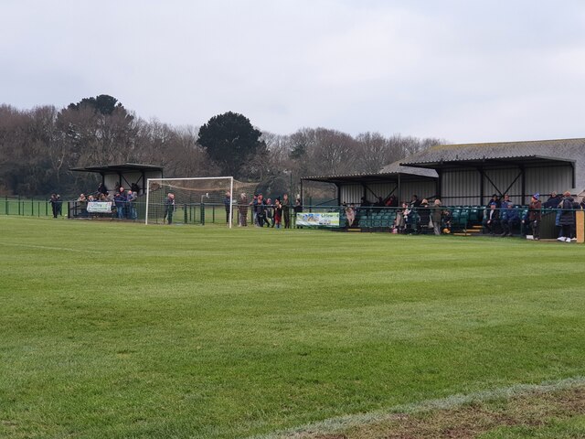
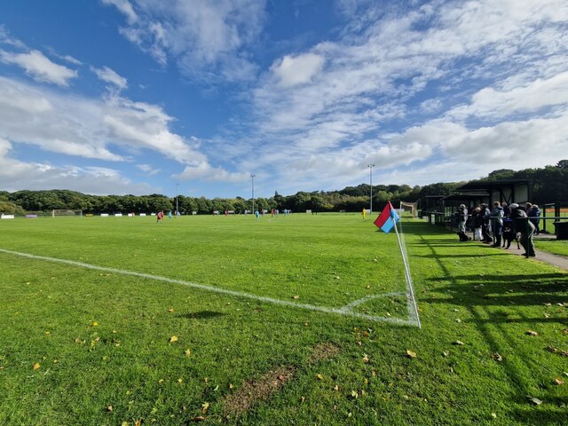
Little Common F.C.

Little Common Football Club is a football club based in the Little Common area of Bexhill-on-Sea, East Sussex, England. They are currently members of the...

HM Prison Northeye

H.M. Prison Northeye was a prison located at Bexhill-on-Sea, East Sussex, England which was in operation from 1969 to 1992. The prison was formerly the...

Hooe Common

Hooe Common is a village in the Wealden district of East Sussex. == References ==

Hooe, East Sussex

Hooe is both a small village and a civil parish in the Wealden District of East Sussex; the village being located about two miles (3 km) north-west of...

Bexhill High Academy

Bexhill High Academy (formerly Bexhill High School) is a coeducational secondary school with academy status, located in Bexhill-on-Sea in the English county...

Gillham Wood

Gillham Wood is a 3-hectare (7.4-acre) nature reserve west of Bexhill-on-Sea in East Sussex. It is managed by the Sussex Wildlife Trust.The wood is mainly...

Nearby Amenities

Located within 500m of 50.857492,0.42428864
Post Box
Addr City: Bexhill-on-Sea
Addr Street: Whydown Road
Collection Times: Mo-Fr 09:00; Sa 07:00
Operator: Royal Mail
Operator Wikidata: Q638098
Post Box Type: lamp
Ref: TN39 33
Ref GB Uprn: 10015313120
Royal Cypher: EIIR
Royal Cypher Wikidata: Q33102113
Wikimedia Commons: File:PB Whydown Road TN3933.jpg
Lat/Long: 50.8573587/0.4291206
Description: Marking the Bexhill Borough (BB) with 63 stones.
Historic: boundary_stone
Material: cornish_granite
Ref: BB30
Start Date: 1910
Wikimedia Commons: File:BB30 Boundary Stone, Whydown.jpg
Wikimedia Commons 1: File:BB30 Boundary Stone, Whydown (2).jpg
Lat/Long: 50.8600014/0.4211072
Description: Marking the Bexhill Borough (BB) with 63 stones.
Historic: boundary_stone
Material: cornish_granite
Ref: BB29
Start Date: 1910
Wikimedia Commons: File:BB29 Boundary Stone, Whydown.jpg
Wikimedia Commons 1: File:BB29 Boundary Stone, Whydown (2).jpg
Lat/Long: 50.8596198/0.4216983
Whydown
Description: This may mark the site of the lost place Swinhamme 772AD as noted in the Bexhill Charter Boundaries of Barnhorne.
Place: hamlet
Ref Esher: MES32845
Source Description: https://epns.nottingham.ac.uk/browse/Sussex/Bexhill/5328722cb47fc40c36000103-Whydown+Fm
Lat/Long: 50.8585899/0.4264712
Access: yes
Barrier: stile
Foot: designated
Material: wood
Stile: stepover
Lat/Long: 50.8558416/0.4275992
Power: pole
Lat/Long: 50.8579268/0.4287605
Power: pole
Lat/Long: 50.8590628/0.4292031
Power: pole
Lat/Long: 50.8600101/0.4295531
Man Made: flagpole
Lat/Long: 50.8566395/0.4272551
Fountain
Lat/Long: 50.8566577/0.4272732
Access: private
Leisure: playground
Operator: Kloofs Caravan Park
Lat/Long: 50.8553506/0.4252079
Description: Marking the Bexhill Borough (BB) with 63 stones.
Historic: boundary_stone
Material: cornish_granite
Ref: BB31
Start Date: 1910
Wikimedia Commons: File:BB31 Boundary Stone, Whydown Road.jpg
Wikimedia Commons 1: File:BB31 Boundary Stone, Whydown Road (2).jpg
Lat/Long: 50.8615776/0.4228874
Access: private
Man Made: water_well
Lat/Long: 50.8598814/0.4251623
The data included in this document is from www.openstreetmap.org. The data is made available under ODbL.

Have you been to Gotham Wood?

Leave your review of Gotham Wood below (or comments, questions and feedback).