Hollow Field Shaw
Wood, Forest in Kent Tunbridge Wells
England
Hollow Field Shaw
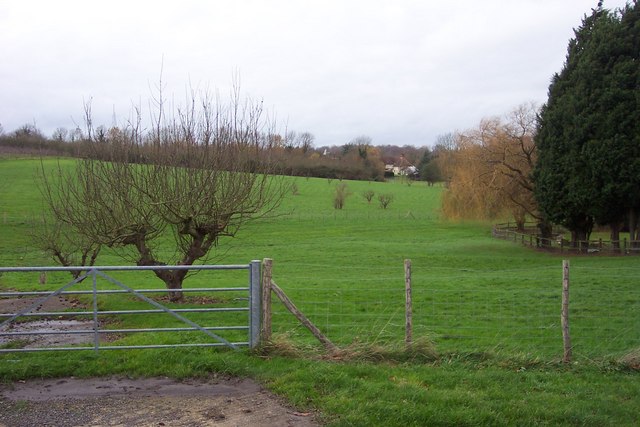
Hollow Field Shaw is a picturesque woodland area located in the county of Kent, England. Situated in the heart of the Kent Downs Area of Outstanding Natural Beauty, this wood, also known as Hollow Field Forest, is a haven for nature enthusiasts and outdoor lovers.
Covering an expansive area of approximately 100 hectares, Hollow Field Shaw is characterized by its diverse range of tree species, including oak, beech, ash, and birch, among others. The forest floor is adorned with an array of vibrant wildflowers during the spring and summer months, creating a visually stunning landscape.
Visitors to Hollow Field Shaw can enjoy a network of well-maintained trails and footpaths that meander through the woodland. These paths offer the opportunity for leisurely walks, jogging, or cycling, allowing visitors to immerse themselves in the tranquil surroundings and observe the abundant wildlife that calls this wood home. Birdwatchers will delight in the various species of birds that inhabit the area, including woodpeckers, owls, and various songbirds.
The forest is also home to a number of animals, including deer, foxes, and rabbits. Nature lovers can spend hours exploring the wood, listening to the sounds of nature and observing the delicate balance of the ecosystem.
Hollow Field Shaw is a popular destination for families, as it offers a range of recreational activities such as picnicking, den building, and wildlife spotting. The forest is open year-round and provides a peaceful retreat from the hustle and bustle of everyday life. Whether visiting for a leisurely stroll or a day of adventure, Hollow Field Shaw is a hidden gem that offers a truly enchanting experience for all who venture into its depths.
If you have any feedback on the listing, please let us know in the comments section below.
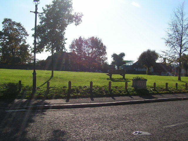
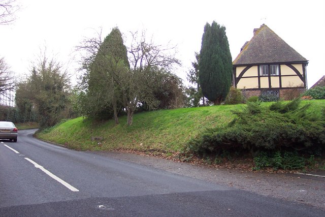
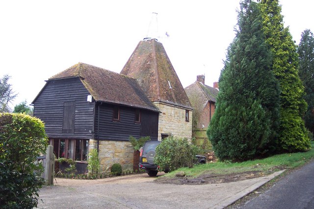
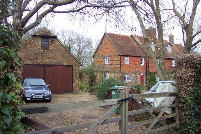
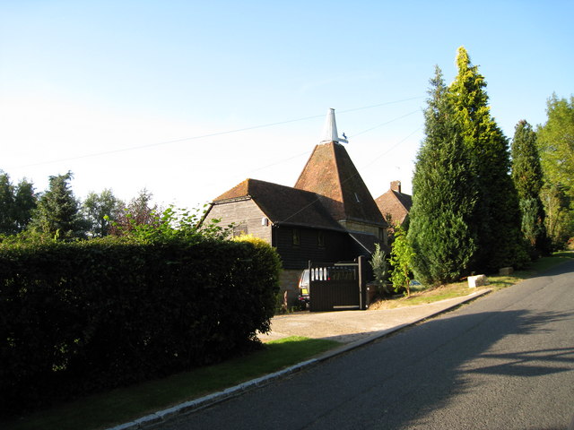
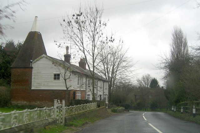
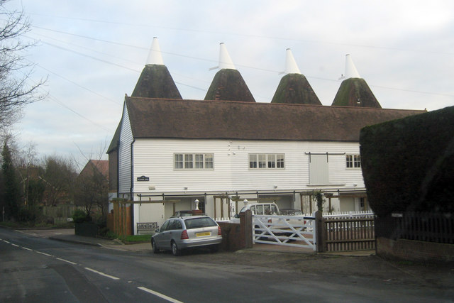
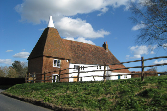
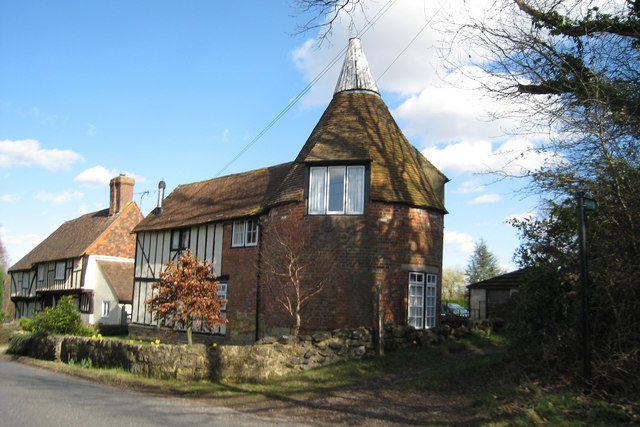
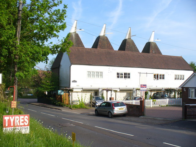
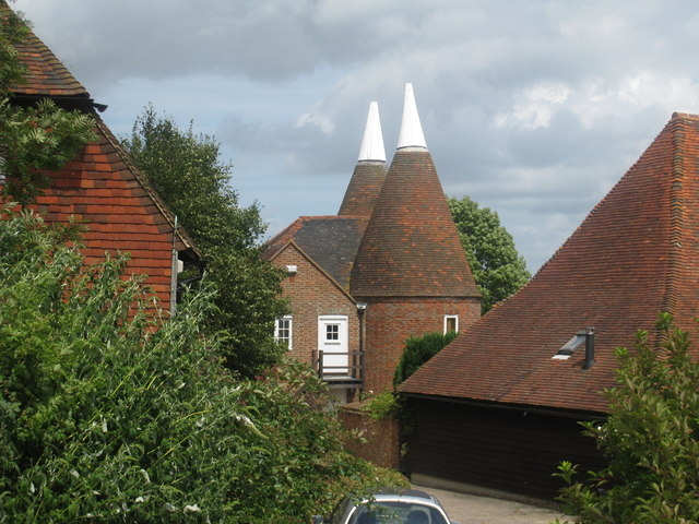
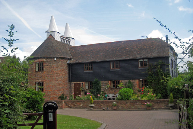
Hollow Field Shaw Images
Images are sourced within 2km of 51.132402/0.43760373 or Grid Reference TQ7039. Thanks to Geograph Open Source API. All images are credited.


Hollow Field Shaw is located at Grid Ref: TQ7039 (Lat: 51.132402, Lng: 0.43760373)
Administrative County: Kent
District: Tunbridge Wells
Police Authority: Kent
What 3 Words
///season.escapades.rely. Near Horsmonden, Kent
Nearby Locations
Related Wikis

Horsmonden railway station
Horsmonden is a closed railway station on the closed Hawkhurst Branch in Kent, England. == Background == The station was opened on 1 October 1892, when...

Capel Manor House
Capel Manor House is a small modern steel-framed private house in Horsmonden, in Kent in southern England. It was designed by Michael Manser for John Howard...

Horsmonden
Horsmonden ( HORZ-mən-DEN) is a village in the borough of Tunbridge Wells in Kent, England. The village is located in the Weald of Kent. It is situated...

St Margaret's Church, Horsmonden
St Margaret's Church is a parish church in the village of Horsmonden, Kent, England. It is a Grade I listed building. == Building == St Margaret's Church...

The Gill
The Gill is a 12-hectare (30-acre) nature reserve north of Goudhurst in Kent, England. It is managed by the Kent Wildlife Trust.This site has been planted...
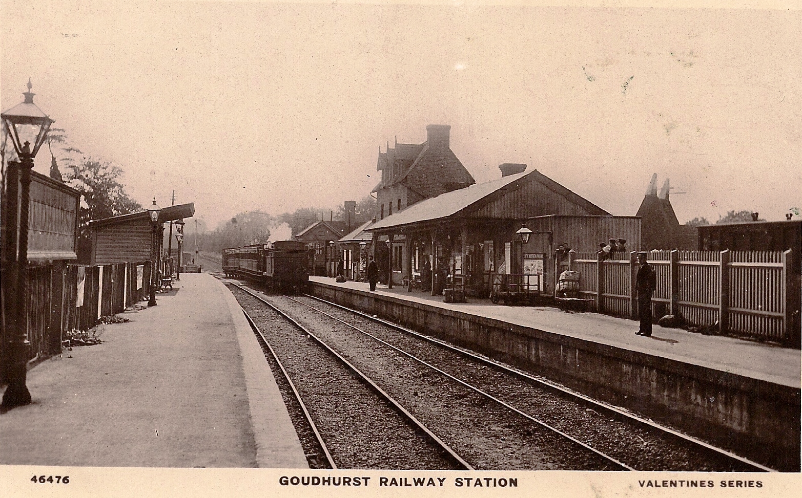
Goudhurst railway station
Goudhurst is a closed railway station on the closed Hawkhurst Branch in Kent, England. == History == The station originally opened on 1 October 1892 as...

St Mary's Church, Goudhurst
St Mary's Church is a parish church in Goudhurst, Kent, England. It is a Grade I listed building. == Building == The church stands on a hill and its tower...

Goudhurst
Goudhurst is a village and civil parish in the borough of Tunbridge Wells in Kent, England. It lies in the Weald, around 12 miles (19 km) south of Maidstone...
Nearby Amenities
Located within 500m of 51.132402,0.43760373Have you been to Hollow Field Shaw?
Leave your review of Hollow Field Shaw below (or comments, questions and feedback).