Chalkpit Plantation
Wood, Forest in Norfolk King's Lynn and West Norfolk
England
Chalkpit Plantation

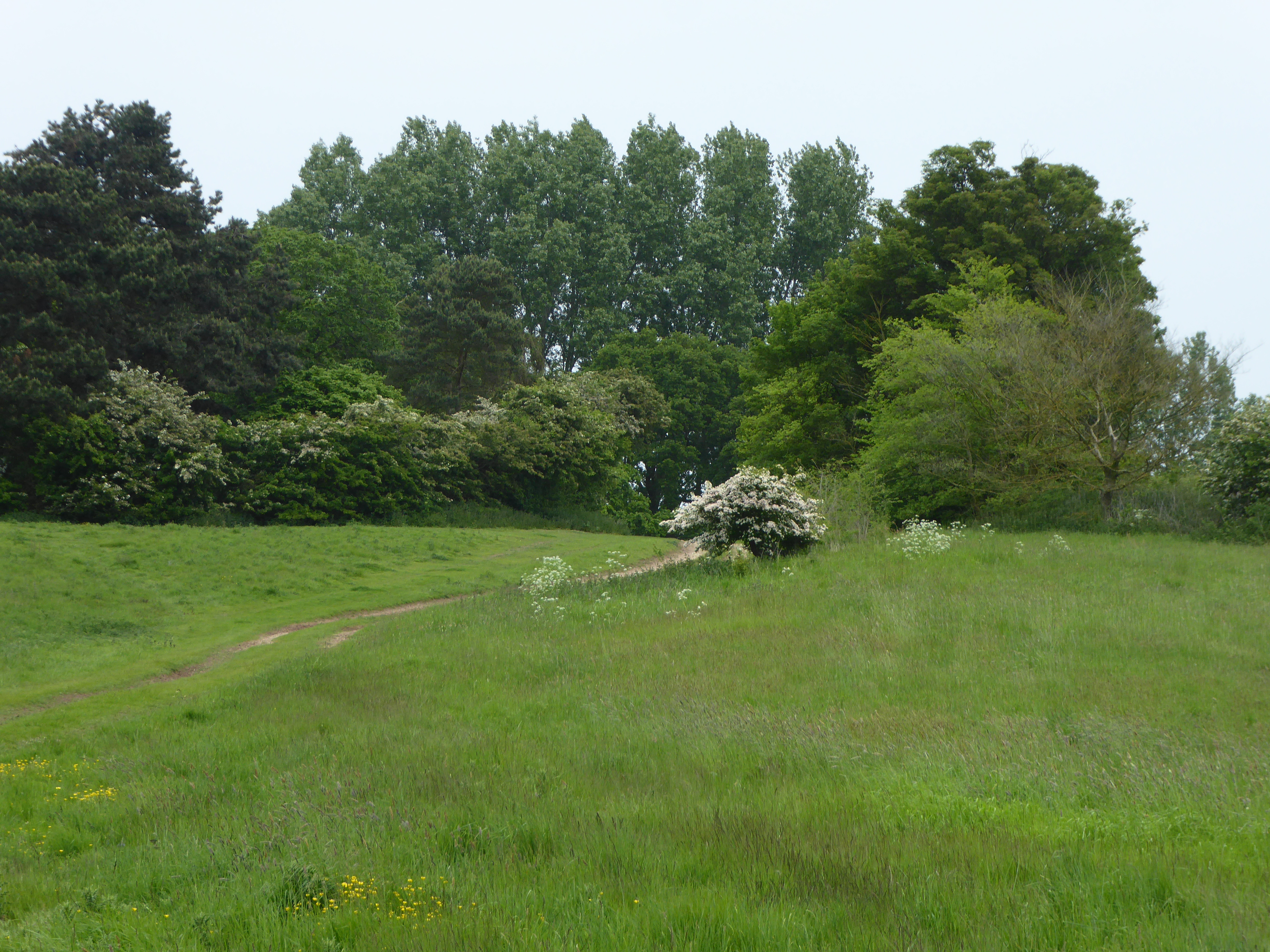
Chalkpit Plantation is a picturesque woodland located in the county of Norfolk, England. Situated near the village of Woodton, it covers an area of approximately 200 acres and is known for its diverse range of plant and animal species.
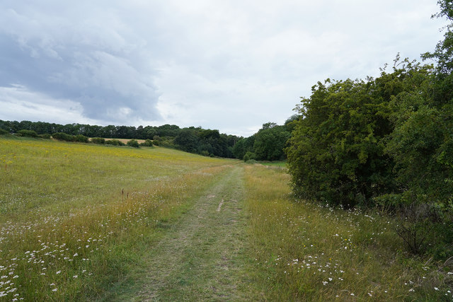
The plantation is predominantly made up of broadleaf trees, including oak, ash, and beech, which provide a dense canopy and create a rich habitat for wildlife. The forest floor is adorned with an array of wildflowers, such as bluebells and primroses, adding a burst of color to the woodland during the spring months.
The plantation is intersected by several footpaths and trails, allowing visitors to explore its beauty and enjoy a peaceful walk. These paths provide access to various areas within the woodland, including a small pond that serves as a watering hole for local wildlife. Birdwatchers can often spot species such as woodpeckers, nuthatches, and tawny owls, making it a popular spot for nature enthusiasts.
Chalkpit Plantation is also home to a variety of mammals, including deer, foxes, and badgers. These animals can often be seen foraging for food or seeking shelter among the trees. Additionally, the woodland provides an ideal habitat for a range of insects and invertebrates, contributing to the overall biodiversity of the area.
Overall, Chalkpit Plantation offers visitors a tranquil and immersive experience in the heart of Norfolk's natural beauty. Whether it's a leisurely stroll, birdwatching, or simply enjoying the peaceful surroundings, this woodland is a haven for those seeking a connection with nature.
If you have any feedback on the listing, please let us know in the comments section below.
Chalkpit Plantation Images
Images are sourced within 2km of 52.92942/0.53362826 or Grid Reference TF7039. Thanks to Geograph Open Source API. All images are credited.


Chalkpit Plantation is located at Grid Ref: TF7039 (Lat: 52.92942, Lng: 0.53362826)
Administrative County: Norfolk
District: King's Lynn and West Norfolk
Police Authority: Norfolk
What 3 Words
///pushover.removals.snippet. Near Hunstanton, Norfolk
Nearby Locations
Related Wikis
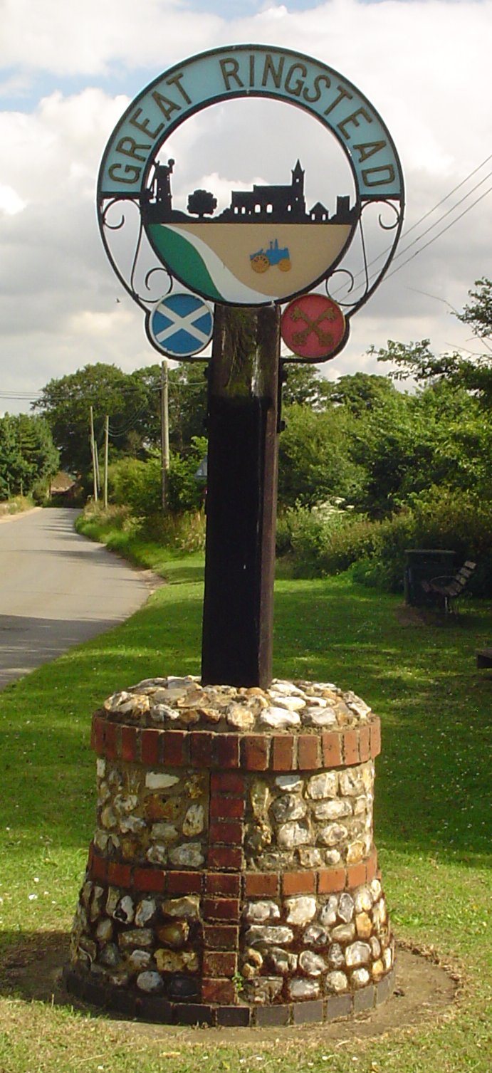
Ringstead, Norfolk
Ringstead is a village and civil parish in the north-west corner of the English county of Norfolk. It covers an area of 11.13 km2 (4.30 sq mi) and had...

Ringstead Downs
Ringstead Downs is a 6.9-hectare (17-acre) biological Site of Special Scientific Interest east of Hunstanton in Norfolk. It is in the Norfolk Coast Area...
Hunstanton Park Esker
Hunstanton Park Esker is a 17.3-hectare (43-acre) geological Site of Special Scientific Interest east of Hunstanton in Norfolk. The esker extends 1.5 km...
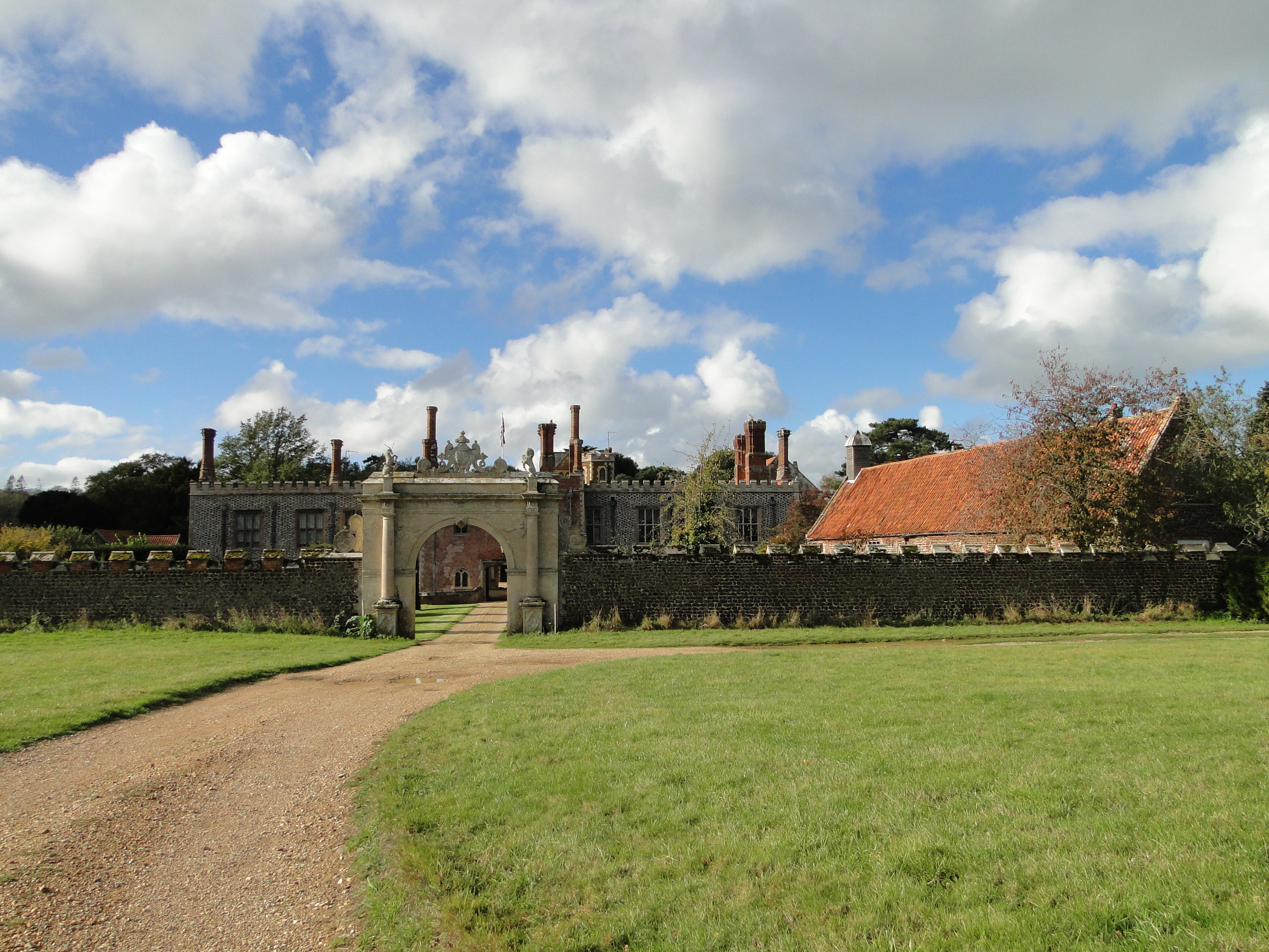
Hunstanton Hall
Hunstanton Hall, Old Hunstanton, Norfolk, England is a country house dating originally from the 15th century. The gatehouse, now detached from the main...
Nearby Amenities
Located within 500m of 52.92942,0.53362826Have you been to Chalkpit Plantation?
Leave your review of Chalkpit Plantation below (or comments, questions and feedback).