Green Broom Plantation

Wood, Forest in Norfolk King's Lynn and West Norfolk

England

Green Broom Plantation

Rush hour in Old Hunstanton
Rush hour in Old Hunstanton Credit: Basher Eyre

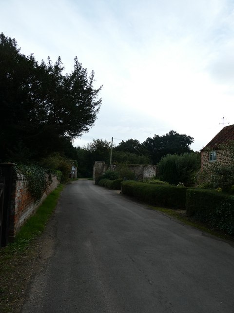
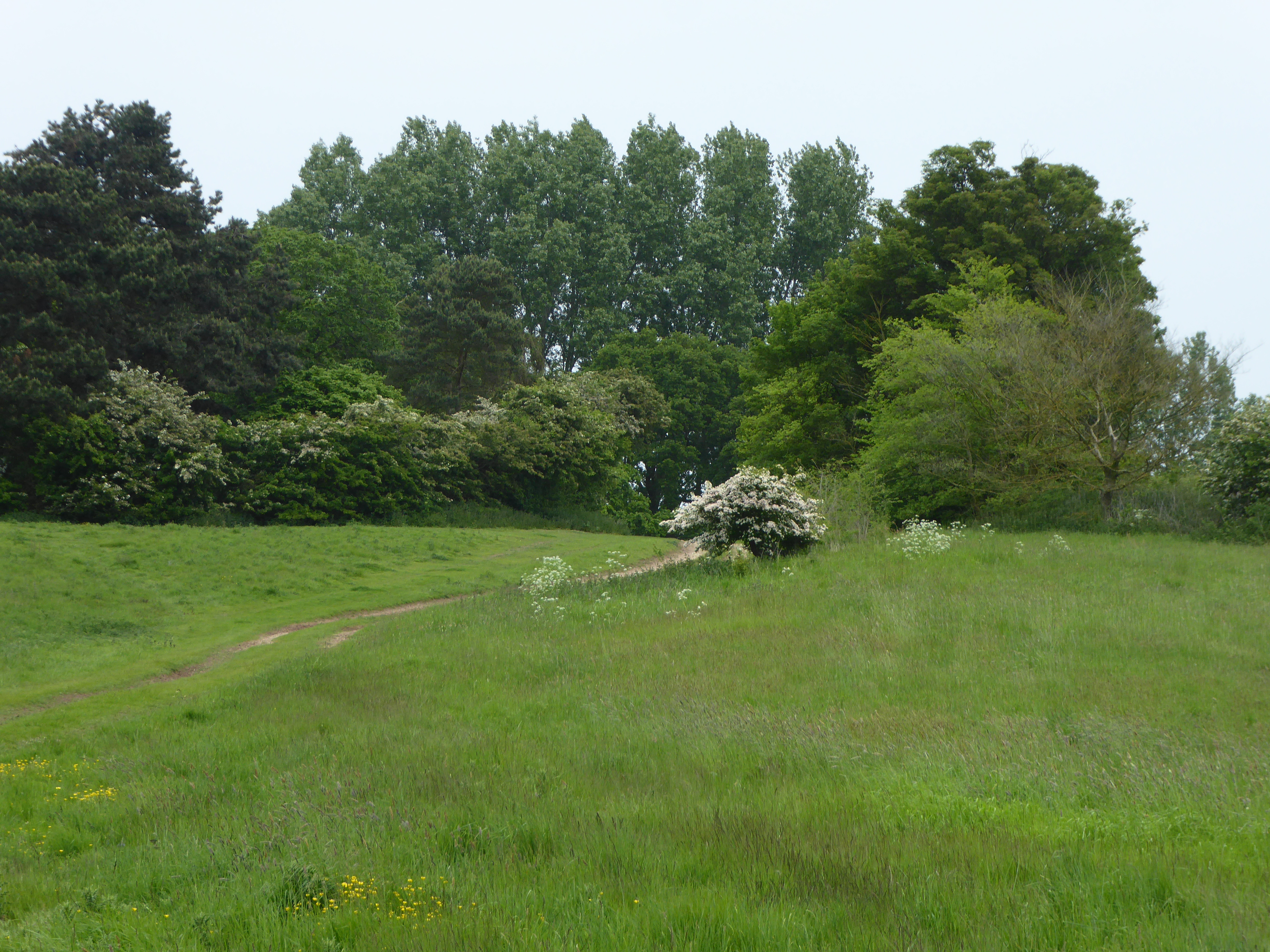
Green Broom Plantation is a picturesque woodland located in Norfolk, England. Covering an expansive area, it is a popular destination for nature enthusiasts and outdoor enthusiasts alike. The plantation is primarily composed of lush green trees, creating a serene and tranquil atmosphere.

The woodland is home to a variety of tree species, including oak, beech, and birch, which provide a diverse and vibrant ecosystem. The dense foliage and thick undergrowth provide a sheltered habitat for numerous wildlife species, such as deer, foxes, and a wide array of bird species. Birdwatchers can often spot rare and migratory birds nesting in the treetops.

The plantation is intersected by several well-maintained walking trails, offering visitors the opportunity to explore the woodland at their own pace. These trails wind through the ancient trees and allow visitors to immerse themselves in the natural beauty of the surroundings. Along the way, there are strategically placed benches and picnic areas, providing a perfect spot to rest and admire the breathtaking views.

Green Broom Plantation is also a favored location for outdoor activities such as hiking, cycling, and horseback riding. The well-marked trails cater to individuals of all fitness levels, ensuring that everyone can enjoy the plantation's charm. Visitors can also partake in educational activities, such as guided nature walks and workshops, to learn more about the local flora and fauna.

Overall, Green Broom Plantation in Norfolk is a captivating woodland that offers a peaceful escape from the hustle and bustle of everyday life. With its stunning natural beauty and abundant wildlife, it is a haven for nature lovers seeking solace in the great outdoors.

If you have any feedback on the listing, please let us know in the comments section below.

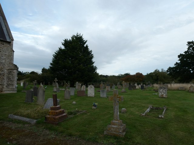
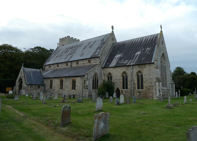
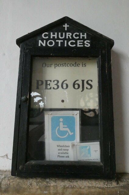
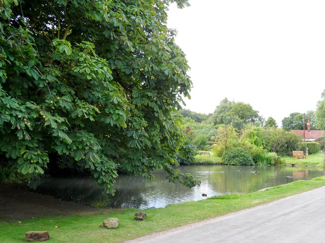
Green Broom Plantation Images

Images are sourced within 2km of 52.941198/0.53324494 or Grid Reference TF7041. Thanks to Geograph Open Source API. All images are credited.

Rush hour in Old Hunstanton
St Mary, Old Hunstanton: noticeboard
St Mary, Old Hunstanton: seat in the churchyard
St Mary, Old Hunstanton: grave of William Green
St Mary, Old Hunstanton Churchyard at twilight
St Mary, Old Hunstanton: early October 2023
I wish more churches did this Seen at St Mary, Old Hunstanton: it can save a burning church. About 15 years ago insurance companies insisted on a postcode. Many churches did not have one. Many form fillers put in their own postcode, often some way from the church. As a result, several churches were burnt down because the fire engines went to another postcode.
I wish more churches did this
Seen at St Mary, Old Hunstanton: it can save a burning church. About 15 years ago insurance companies insisted on a postcode. Many churches did not have one. Many form fillers put in their own postcode, often some way from the church. As a result, several churches were burnt down because the fire engines went to another postcode.
St. Mary's church, Old Hunstanton View of the sanctuary and east window.
St. Mary's church, Old Hunstanton
View of the sanctuary and east window.
Rood screen in St. Mary's church, Old Hunstanton This is the right hand side of the medieval screen and shows 6 of the twelve apostles.
Rood screen in St. Mary's church, Old Hunstanton
This is the right hand side of the medieval screen and shows 6 of the twelve apostles.
Rood screen in St. Mary's church, Old Hunstanton Showing the left side of the medieval screen with 6 of the 12 apostles.
Rood screen in St. Mary's church, Old Hunstanton
Showing the left side of the medieval screen with 6 of the 12 apostles.
St. Mary's church, Old Hunstanton
St. Mary's church, Old Hunstanton Showing the village pond and cottages on the lane to the church.
St. Mary's church, Old Hunstanton
Showing the village pond and cottages on the lane to the church.
Cottages in Old Hunstanton St. Mary's church is in the distance.
Cottages in Old Hunstanton
St. Mary's church is in the distance.
A149 eastbound near Gypsy Green
Lovers Lane - Hunstanton Looking Eastward.
Lovers Lane - Hunstanton
Looking Eastward.
Lovers Lane - Hunstanton Looking Southeast
Lovers Lane - Hunstanton
Looking Southeast
Pond near to St Mary's church, Old Hunstanton
Churchyard wall of St Mary's Dated 1773
Churchyard wall of St Mary's
Dated 1773
Show me another place!

Green Broom Plantation is located at Grid Ref: TF7041 (Lat: 52.941198, Lng: 0.53324494)

Administrative County: Norfolk

District: King's Lynn and West Norfolk

Police Authority: Norfolk

What 3 Words

///making.spans.script. Near Hunstanton, Norfolk

Related Wikis

Hunstanton Park Esker

Hunstanton Park Esker is a 17.3-hectare (43-acre) geological Site of Special Scientific Interest east of Hunstanton in Norfolk. The esker extends 1.5 km...
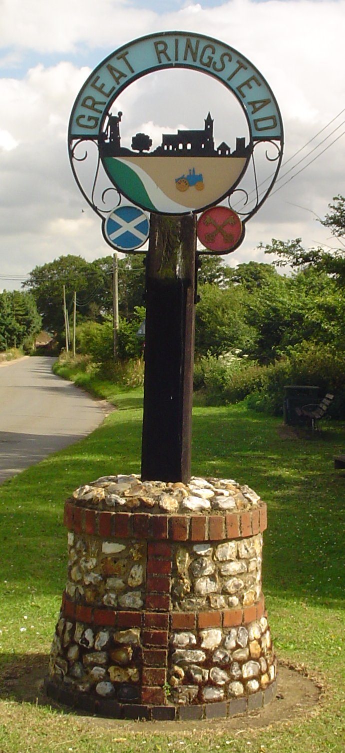
Ringstead, Norfolk

Ringstead is a village and civil parish in the north-west corner of the English county of Norfolk. It covers an area of 11.13 km2 (4.30 sq mi) and had...
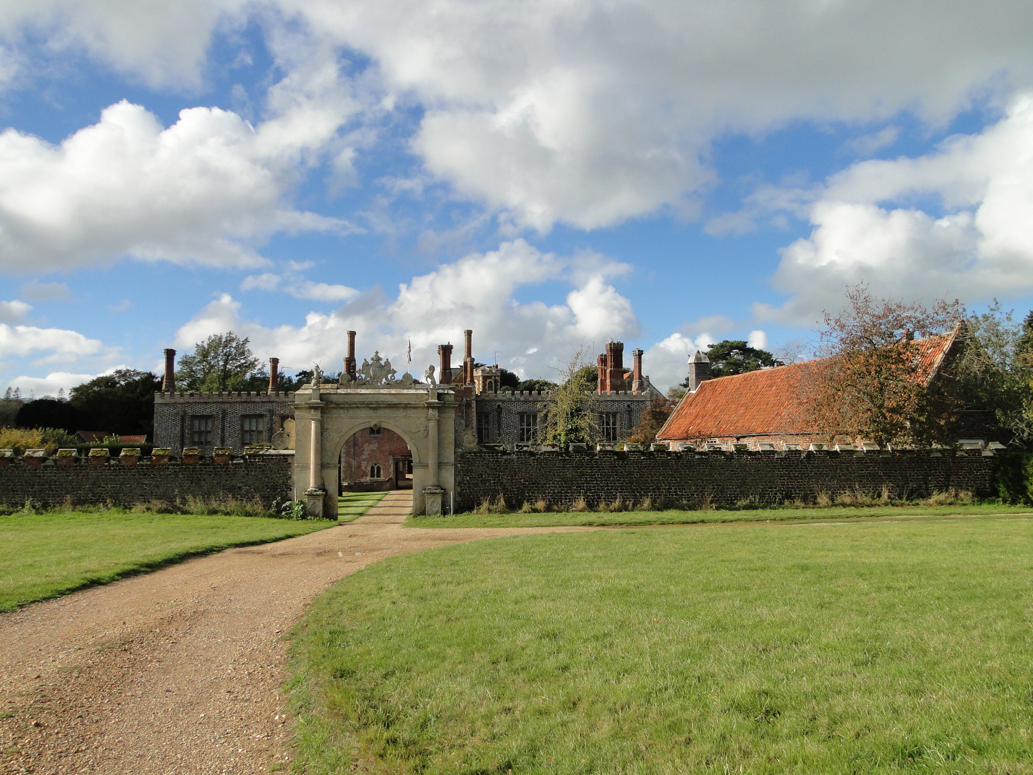
Hunstanton Hall

Hunstanton Hall, Old Hunstanton, Norfolk, England is a country house dating originally from the 15th century. The gatehouse, now detached from the main...

Ringstead Downs

Ringstead Downs is a 6.9-hectare (17-acre) biological Site of Special Scientific Interest east of Hunstanton in Norfolk. It is in the Norfolk Coast Area...

Holme-next-the-Sea

Holme-next-the-Sea is a small village and civil parish in the English county of Norfolk. It is situated on the north Norfolk coast some 5 km north-east...

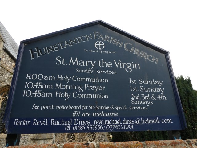
St Mary's Church, Holme-next-the-Sea

St Mary's Church is the parish church of Holme-next-the-Sea in the English county of Norfolk. It is dedicated to the Virgin Mary. The church is partly...

Hunstanton Golf Club

Hunstanton Golf Club is an 18-hole members golf club in Norfolk, England which has hosted many of the leading amateur golf tournaments in Britain including...

Paul Nicholas School of Acting & Performing Arts

The Paul Nicholas School of Acting & Performing Arts was a franchise of stage and performance schools created by actor and singer Paul Nicholas for young...

Nearby Amenities

Located within 500m of 52.941198,0.53324494
Disused: yes
Man Made: windmill
Material: brick
Lat/Long: 52.9449332/0.5371432
Bus Stop
Pedders Way North, opp
Material: brick
Naptan AtcoCode: 2900R097
Naptan Bearing: SW
Naptan CommonName: Pedders Way North
Naptan Indicator: opp
Naptan Locality: Ringstead
Naptan NaptanCode: nfodpjpg
Naptan ShortCommonName: Holme Road
Naptan Street: Holme Road
Shelter: yes
Source: naptan_import;survey
Lat/Long: 52.940474/0.53831
Pedders Way North, adj
Naptan AtcoCode: 2900R098
Naptan Bearing: NE
Naptan BusStopType: CUS
Naptan CommonName: Pedders Way North
Naptan Indicator: adj
Naptan Locality: Ringstead
Naptan NaptanCode: nfodpjpj
Naptan ShortCommonName: Holme Road
Naptan Street: Holme Road
Naptan Verified: no
Source: naptan_import
Lat/Long: 52.940553/0.5382387
Great Ringstead
Man Made: village_sign
Material: metal
Lat/Long: 52.9394805/0.5360512
Post Box
Collection Times: Mo-Fr 09:00; Sa 07:00
Post Box Mounting: pier
Post Box Type: lamp
Ref: PE36 295D
Royal Cypher: EIIR
Royal Cypher Wikidata: Q33102113
Lat/Long: 52.941606/0.5390141
Gedding's Farm
Place: farm
Lat/Long: 52.9386464/0.5375859
Geddings Cottages
Place: isolated_dwelling
Lat/Long: 52.9399229/0.5366726
The Lodge
Place: isolated_dwelling
Lat/Long: 52.942464/0.5308626
The Stratch
Place: locality
Lat/Long: 52.9424757/0.5329417
Top End
Place: locality
Lat/Long: 52.940567/0.5355844
Give Way
Lat/Long: 52.9407404/0.5393842
Give Way
Lat/Long: 52.9400999/0.5359824
Power: pole
Lat/Long: 52.9452645/0.5363484
Power: pole
Lat/Long: 52.9440249/0.5366089
Power: pole
Lat/Long: 52.943359/0.5367671
Power: pole
Lat/Long: 52.9426478/0.5369308
Power: pole
Lat/Long: 52.9420807/0.5370534
Power: pole
Lat/Long: 52.9415256/0.5371751
Location Transition: yes
Power: pole
Lat/Long: 52.940975/0.5372953
Ringstead Circular Walk
Bicycle: yes
Distance: 7 mi
Hiking: yes
Information: guidepost
Inscription: West Norfolk’s Coastal Treasures
Operator: Norfolk County Council;Norfolk Trails
Tourism: information
Website: https://www.norfolk.gov.uk/ringsteadbirchamcycle
Lat/Long: 52.939141/0.5362103
Waste Basket
Colour: grey
Inscription: Litter
Material: fibreglass
Waste: trash
Lat/Long: 52.9392437/0.5361625
Bench
Armrest: both
Backrest: yes
Colour: brown
Inscription: no
Material: wood
Lat/Long: 52.9393223/0.5360868
Community Paths
Hiking: yes
Horse: yes
Information: map
Map Size: region
Map Type: street
Operator: Norfolk County Council
Tourism: information
Lat/Long: 52.9393556/0.5360377
Colour: dark_grey
Leisure: picnic_table
Material: metal
Lat/Long: 52.9394261/0.5360255
Bench
Armrest: both
Backrest: yes
Colour: brown
Inscription: In Loving Memory of Don and Betty Mann (1926–2013 & 1928–2005) / Lifelong Residents of Top End Ringstead
Material: wood
Seats: 3
Lat/Long: 52.9397106/0.5359234
Circular Walk
Hiking: yes
Information: route_marker
Note: Also Peddars Way acorn symbol
Operator: Norfolk Trails
Power: pole
Tourism: information
Lat/Long: 52.9400543/0.5359017
Waste Basket
Colour: red
Waste: dog_excrement
Lat/Long: 52.9404703/0.5382861
Waste Basket
Colour: green
Inscription: Litter
Material: metal
Waste: trash
Lat/Long: 52.9404827/0.5383474
Thornham
Information: guidepost
Tourism: information
Lat/Long: 52.9407009/0.5393707
Power: pole
Lat/Long: 52.9427941/0.5309701
Power: pole
Lat/Long: 52.9435113/0.5319318
Power: pole
Lat/Long: 52.9441287/0.5327498
Power: pole
Lat/Long: 52.9443758/0.5339994
Power: pole
Lat/Long: 52.944439/0.5353384
Power: pole
Lat/Long: 52.9447636/0.5369948
Power: pole
Lat/Long: 52.944691/0.5364638
Power: pole
Lat/Long: 52.9448459/0.5374997
Power: pole
Transformer: distribution
Lat/Long: 52.9404619/0.5374018
Power: pole
Lat/Long: 52.9398071/0.5375436
Power: pole
Lat/Long: 52.9391689/0.5378853
Power: pole
Lat/Long: 52.9385237/0.5382312
The data included in this document is from www.openstreetmap.org. The data is made available under ODbL.

Have you been to Green Broom Plantation?

Leave your review of Green Broom Plantation below (or comments, questions and feedback).