Dye's Plantation
Wood, Forest in Suffolk West Suffolk
England
Dye's Plantation

Dye's Plantation, located in Suffolk County, Virginia, is a historical site that showcases the rich agricultural heritage of the region. The plantation, also referred to as Dye's Wood or Dye's Forest, is known for its vast woodlands and lush landscapes.
Covering an area of approximately 500 acres, Dye's Plantation is home to a variety of tree species, including oak, pine, and hickory, which have thrived for centuries. These mature trees not only provide a picturesque backdrop but also serve as an essential habitat for numerous wildlife species, including deer, squirrels, and various bird species.
The plantation was originally established in the early 18th century by the Dye family, who were prominent landowners in the area. They primarily utilized the land for timber production and agriculture, with crops such as tobacco and corn being cultivated on the fertile soil.
Over the years, Dye's Plantation has preserved its natural beauty and historical significance. The property features well-maintained walking trails, allowing visitors to explore the enchanting woodlands and appreciate the tranquil atmosphere. The plantation has also become a popular destination for nature enthusiasts, birdwatchers, and history buffs alike.
In addition to its natural attractions, Dye's Plantation offers educational programs and guided tours, providing visitors with insights into the region's agricultural practices and the plantation's historical significance. Whether exploring the woodlands, learning about the area's past, or simply enjoying the serene surroundings, Dye's Plantation offers a unique glimpse into the beauty and history of Suffolk County.
If you have any feedback on the listing, please let us know in the comments section below.
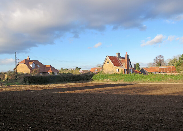
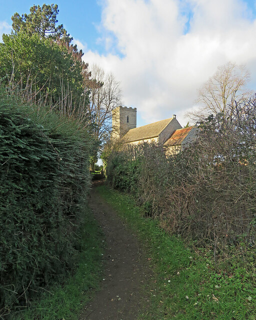
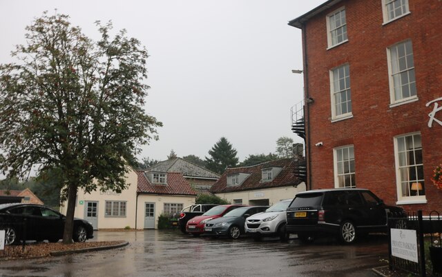
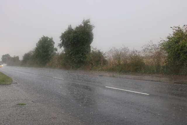
Dye's Plantation Images
Images are sourced within 2km of 52.349488/0.49262927 or Grid Reference TL6975. Thanks to Geograph Open Source API. All images are credited.


Dye's Plantation is located at Grid Ref: TL6975 (Lat: 52.349488, Lng: 0.49262927)
Administrative County: Suffolk
District: West Suffolk
Police Authority: Suffolk
What 3 Words
///cocoons.hillsides.subject. Near Mildenhall, Suffolk
Nearby Locations
Related Wikis

Mildenhall College Academy
Mildenhall College Academy is a coeducational secondary school and sixth form with academy status, located in Mildenhall, Suffolk, England. The school...

Mildenhall, Suffolk
Mildenhall is a market town and civil parish in Suffolk, England. The town is near the A11 road, and is 37 mi (60 km) north-west of Ipswich, the county...
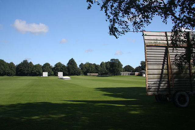
Wamil Way
Wamil Way is a cricket ground in Mildenhall, Suffolk with two cricket fields, in a picturesque setting beside the River Lark. The first recorded match...
St Mary's Church, Mildenhall
St Mary's Church is a Grade I listed parish church in the Church of England in Mildenhall, Suffolk. == History == The church is mostly 14th century. Simon...
Beck Row
Beck Row is a village in Suffolk, England. The village is close to RAF Mildenhall and is home to about 3000 people. Culturally, the village has an old...
Holywell Row
Holywell Row is a village in Suffolk, England. It is part of the civil parish of Beck Row, Holywell Row and Kenny Hill. In 2018 it had an estimated population...
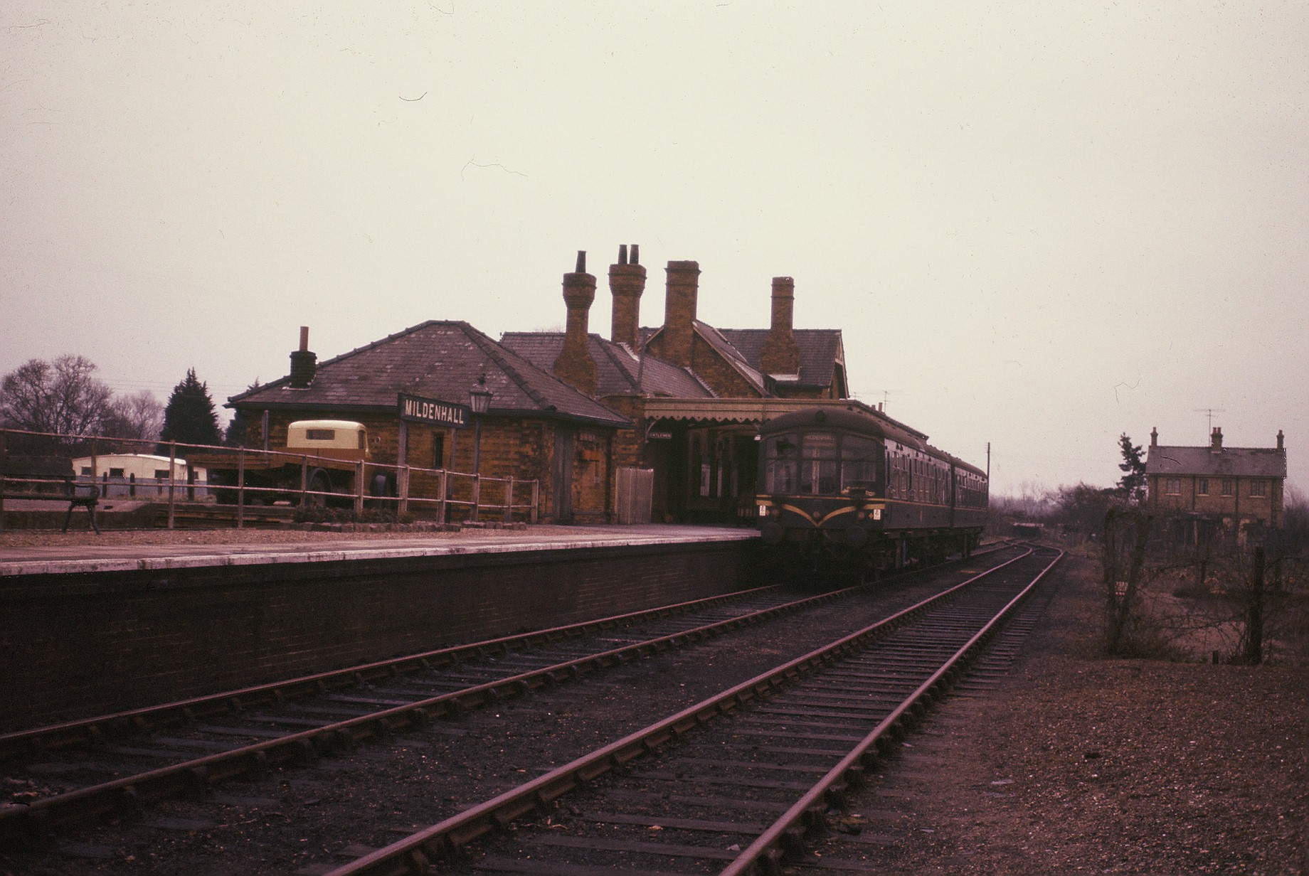
Mildenhall railway station
Mildenhall railway station is a disused railway station that was the terminus of the closed Cambridge to Mildenhall railway. It served the market town...
Mildenhall Town F.C.
Mildenhall Town Football Club is a football club based in Mildenhall, Suffolk. They are currently members of the Eastern Counties League Premier Division...
Nearby Amenities
Located within 500m of 52.349488,0.49262927Have you been to Dye's Plantation?
Leave your review of Dye's Plantation below (or comments, questions and feedback).