Carrops Plantation

Wood, Forest in Cambridgeshire East Cambridgeshire

England

Carrops Plantation

Farmland seen from the back of Kennett Churchyard
Farmland seen from the back of Kennett Churchyard Credit: Basher Eyre

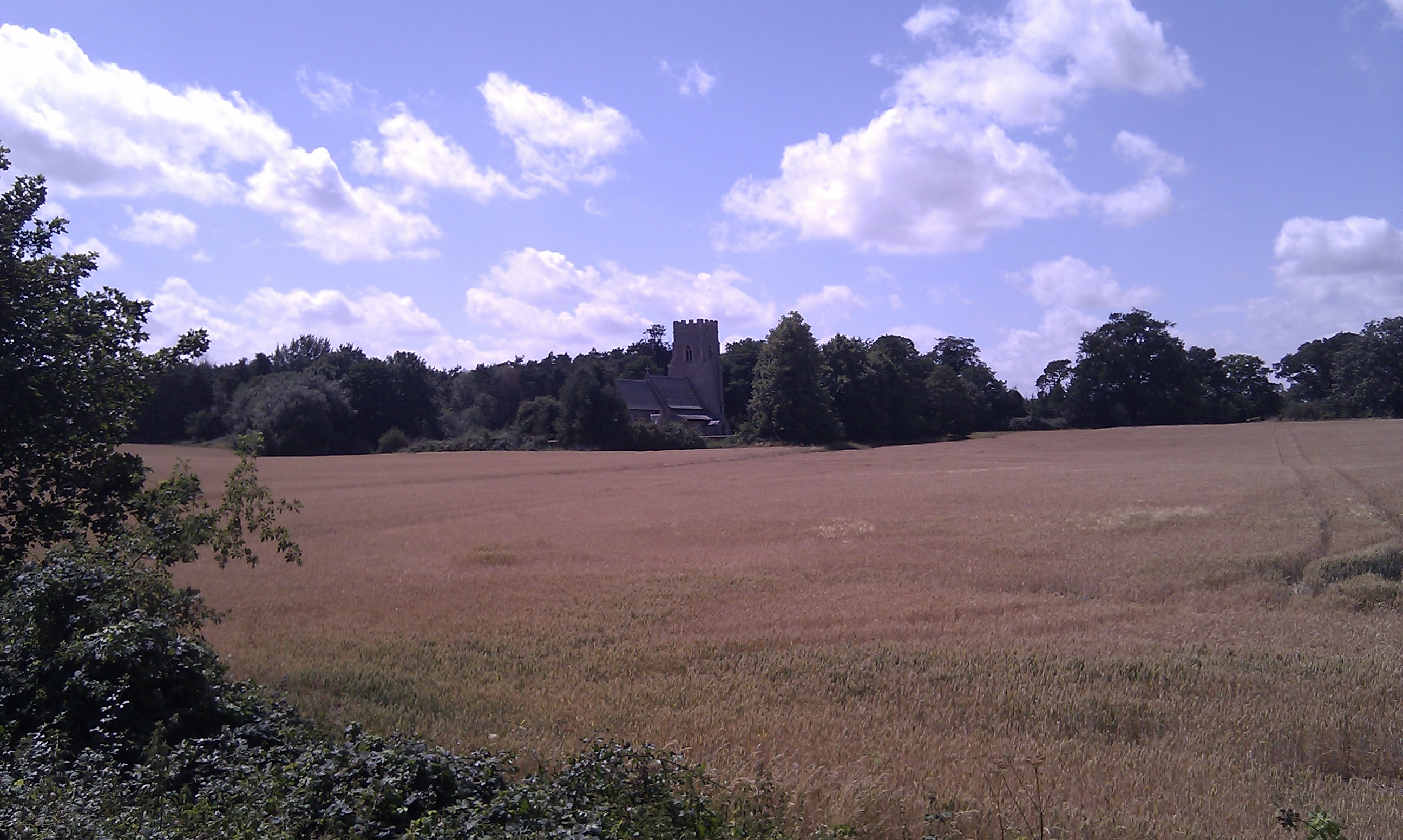
Carrops Plantation is a picturesque woodland located in Cambridgeshire, England. Covering an area of approximately 100 acres, it is a popular destination for nature enthusiasts and hikers alike. The plantation is situated in the heart of the countryside, surrounded by rolling hills and verdant meadows.

The woodland is predominantly made up of native tree species such as oak, beech, and birch, creating a rich and diverse ecosystem. The dense canopy of trees provides a haven for a wide range of bird species, including woodpeckers, jays, and chiffchaffs. Additionally, the plantation is home to various mammals, such as foxes, badgers, and deer, which can often be spotted roaming the forest floor.

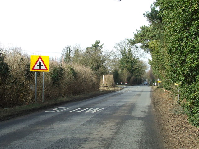
Carrops Plantation offers visitors a network of well-maintained trails, making it ideal for walking, jogging, or cycling. The paths wind through the woodland, offering stunning views of the surrounding countryside and allowing visitors to immerse themselves in the tranquility of nature. There are also designated picnic areas and benches scattered throughout the plantation, providing the perfect opportunity to relax and enjoy a peaceful outdoor meal.

The plantation is managed by the local authorities, who ensure the preservation of the woodland's natural beauty and protect the diverse wildlife that calls it home. Regular maintenance work, such as tree pruning and litter collection, is carried out to maintain the plantation's cleanliness and accessibility.

Overall, Carrops Plantation is a hidden gem in Cambridgeshire, offering visitors a chance to escape the hustle and bustle of city life and reconnect with nature in a serene and idyllic setting.

If you have any feedback on the listing, please let us know in the comments section below.

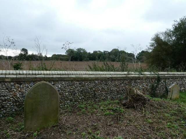
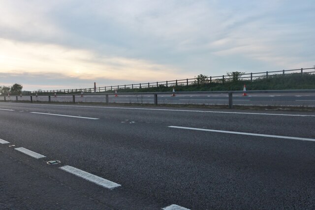
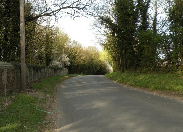
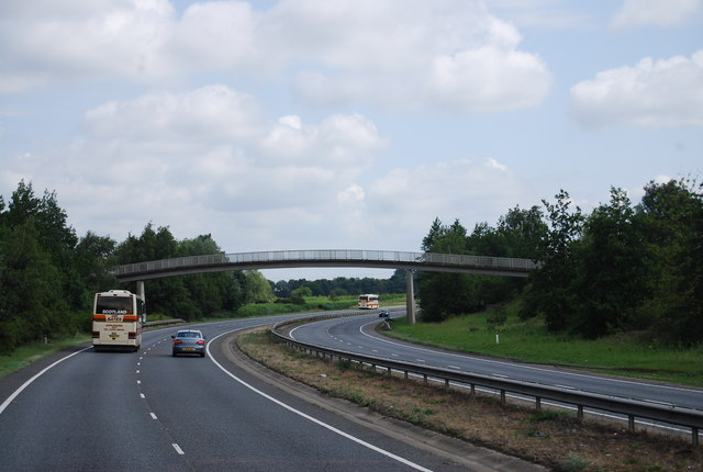
Carrops Plantation Images

Images are sourced within 2km of 52.294015/0.48836853 or Grid Reference TL6969. Thanks to Geograph Open Source API. All images are credited.

Farmland seen from the back of Kennett Churchyard
Entrance to industrial estate on the B1085, Kennett
Layby on Newmarket Road, Kennett
Newmarket Road, Kennett
Autumn in Kennett Churchyard Despite the balmy weather, autumn is here in the picture although that chill in my bones was pleasingly absent!
Autumn in Kennett Churchyard
Despite the balmy weather, autumn is here in the picture although that chill in my bones was pleasingly absent!
St Nicholas Kennett: churchyard (a)
St Nicholas Kennett: churchyard (b)
St Nicholas, Kennett: early October 2023
St Nicholas Kennett: churchyard (c)
St Nicholas Kennett: churchyard (d)
Fields south of Kennett, from the railway Houses on Kennett's Station Road can be seen on the extreme right.
Fields south of Kennett, from the railway
Houses on Kennett's Station Road can be seen on the extreme right.
Dane Hill Road in Kennett
Footbridge over the A11, Red Lodge The A11 is a major road in Eastern England. It runs roughly north east for 111 miles from London to Norwich, With the M11 opening in the 1970s and then the A12 extension in 1999, a lengthy section has been downgraded between the suburbs of east London and the north-west corner of the county of Essex. It also overlaps with the A14 on the Newmarket bypass.
<span class="nowrap"><a title="http://www.sabre-roads.org.uk/wiki/index.php?title=A11" rel="nofollow ugc noopener" href="http://www.sabre-roads.org.uk/wiki/index.php?title=A11">Link</a><img style="margin-left:2px;" alt="External link" title="External link - shift click to open in new window" src="https://s1.geograph.org.uk/img/external.png" width="10" height="10"/></span>
Footbridge over the A11, Red Lodge
The A11 is a major road in Eastern England. It runs roughly north east for 111 miles from London to Norwich, With the M11 opening in the 1970s and then the A12 extension in 1999, a lengthy section has been downgraded between the suburbs of east London and the north-west corner of the county of Essex. It also overlaps with the A14 on the Newmarket bypass. LinkExternal link
Red Lodge Warren
Red Lodge Warren
New housing development, Red Lodge
Footbridge over the A11 near Heath Farm The A11 is a major road in Eastern England. It runs roughly north east for 111 miles from London to Norwich, With the M11 opening in the 1970s and then the A12 extension in 1999, a lengthy section has been downgraded between the suburbs of east London and the north-west corner of the county of Essex. It also overlaps with the A14 on the Newmarket bypass.
<span class="nowrap"><a title="http://www.sabre-roads.org.uk/wiki/index.php?title=A11" rel="nofollow ugc noopener" href="http://www.sabre-roads.org.uk/wiki/index.php?title=A11">Link</a><img style="margin-left:2px;" alt="External link" title="External link - shift click to open in new window" src="https://s1.geograph.org.uk/img/external.png" width="10" height="10"/></span>
Footbridge over the A11 near Heath Farm
The A11 is a major road in Eastern England. It runs roughly north east for 111 miles from London to Norwich, With the M11 opening in the 1970s and then the A12 extension in 1999, a lengthy section has been downgraded between the suburbs of east London and the north-west corner of the county of Essex. It also overlaps with the A14 on the Newmarket bypass. LinkExternal link
Crossroads Crossroads ahead near to Kennett, Suffolk.
Crossroads
Crossroads ahead near to Kennett, Suffolk.
Show me another place!

Carrops Plantation is located at Grid Ref: TL6969 (Lat: 52.294015, Lng: 0.48836853)

Administrative County: Cambridgeshire

District: East Cambridgeshire

Police Authority: Cambridgeshire

What 3 Words

///bids.balconies.theme. Near Mildenhall, Suffolk

Nearby Locations

Carrops Plantation

Related Wikis

Kennett, Cambridgeshire

Kennett is a small village and civil parish at the very eastern tip of Cambridgeshire, England. Situated around 2.5 miles (4.0 km) north-east of Newmarket...

St Nicholas Church, Kennett

St Nicholas Church is the parish church of the village of Kennett in east Cambridgeshire. It has been dedicated to St Nicholas since the 13th century....

Red Lodge Heath

Red Lodge Heath is a 20.8-hectare (51-acre) biological Site of Special Scientific Interest in Red Lodge in Suffolk.Habitats on this site are chalk grassland...

Red Lodge, Suffolk

Red Lodge is a village and civil parish situated in rural Suffolk, England, between Mildenhall and Newmarket, and very close to the A11 and A14 roads....

Nearby Amenities

Located within 500m of 52.294015,0.48836853
The data included in this document is from www.openstreetmap.org. The data is made available under ODbL.

Have you been to Carrops Plantation?

Leave your review of Carrops Plantation below (or comments, questions and feedback).