Starmore Wood

Wood, Forest in Kent Gravesham

England

Starmore Wood

Houses on Gravesend Road (A226)
Houses on Gravesend Road (A226) Credit: JThomas

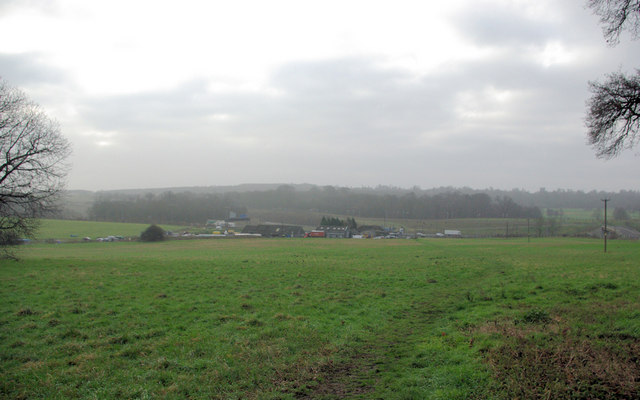
Starmore Wood is a picturesque forest located in the county of Kent, England. Covering an area of approximately 100 acres, it is a popular destination for nature enthusiasts and locals seeking tranquility amidst the lush greenery. The wood is situated near the village of Starmore, which lends its name to the forest.

The woodland comprises a diverse range of tree species, including oak, beech, ash, and silver birch. These majestic trees provide a habitat for a wide variety of wildlife, making Starmore Wood a haven for birdwatchers and animal lovers. Common sightings include various species of birds, such as woodpeckers, owls, and jays, as well as small mammals like rabbits and squirrels.

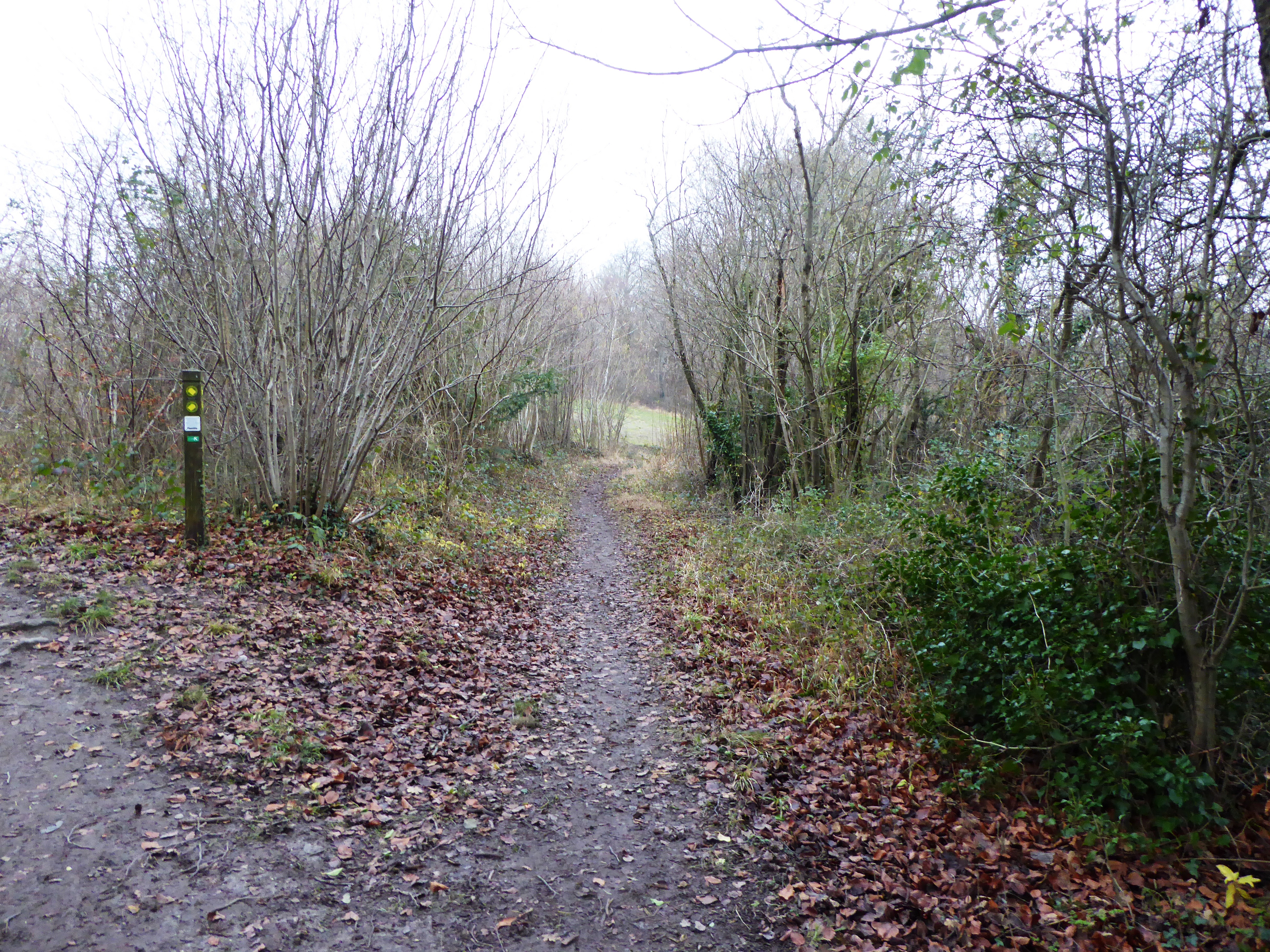
Starmore Wood is crisscrossed by a network of well-maintained walking trails, allowing visitors to explore the area at their own pace. These paths wind through the forest, offering glimpses of enchanting wildflower meadows and babbling brooks along the way. The wood is particularly enchanting during the springtime when the forest floor is carpeted with colorful bluebells and daffodils.

In addition to its natural beauty, Starmore Wood also holds historical significance. It is believed that the forest has been in existence since ancient times, with evidence of human activity dating back centuries. Remnants of old settlements and archaeological sites can still be found within the wood, adding a layer of intrigue to its allure.

Overall, Starmore Wood is a captivating destination that offers visitors a chance to connect with nature, explore its rich biodiversity, and immerse themselves in its timeless beauty.

If you have any feedback on the listing, please let us know in the comments section below.

Starmore Wood Images

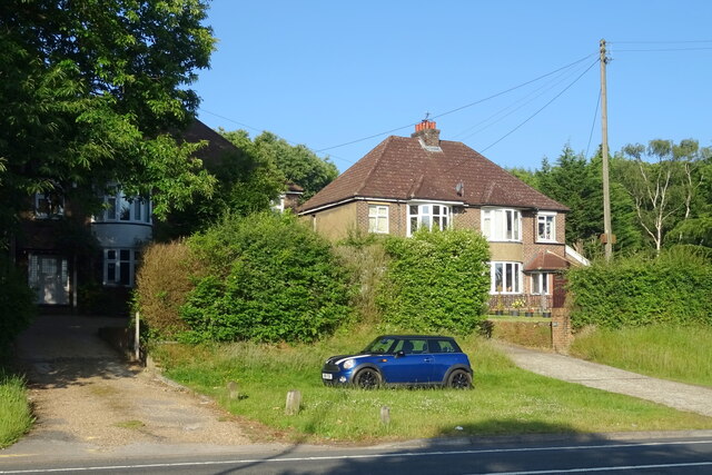
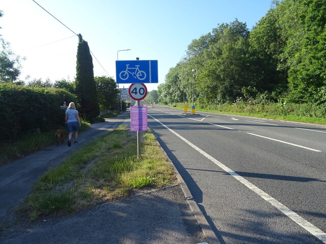
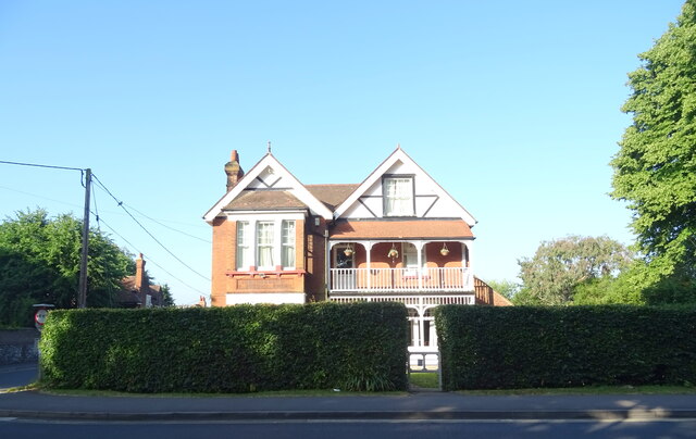
Images are sourced within 2km of 51.409381/0.43830321 or Grid Reference TQ6970. Thanks to Geograph Open Source API. All images are credited.

Houses on Gravesend Road (A226)
Gravesend Road (A226) Towards Rochester.
Gravesend Road (A226)
Towards Rochester.
House on Gravesend Road (A226), Higham
Gravesend Road (A226), Higham Towards Gravesend.
Gravesend Road (A226), Higham
Towards Gravesend.
Crutches Lane, Higham
Houses on Forge Lane, Higham
Forge Lane, Higham Looking north.
Forge Lane, Higham
Looking north.
The Sir John Falstaff, Higham On Gravesend Road.
See <a href="https://www.geograph.org.uk/photo/7219546">TQ7170 : Sign for the Sir John Falstaff, Higham</a> for sign.
The Sir John Falstaff, Higham
On Gravesend Road. See TQ7170 : Sign for the Sir John Falstaff, Higham for sign.
Sign for the Sir John Falstaff, Higham See <a href="https://www.geograph.org.uk/photo/7219545">TQ7170 : The Sir John Falstaff, Higham</a> for context.
Sign for the Sir John Falstaff, Higham
Houses on the A226, Gadshill
Bus stop on the A226, Gadshill Towards Rochester.
Bus stop on the A226, Gadshill
Towards Rochester.
George V postbox on Gravesend Road, Higham Postbox No. ME3 198.
See <a href="https://www.geograph.org.uk/photo/7221433">TQ7071 : Indian restaurant on Gravesend Road, Higham</a> for context.
George V postbox on Gravesend Road, Higham
Postbox No. ME3 198. See TQ7071 : Indian restaurant on Gravesend Road, Higham for context.
Indian restaurant on Gravesend Road, Higham Showing position of Postbox No. ME3 198.
See <a href="https://www.geograph.org.uk/photo/7221430">TQ7071 : George V postbox on Gravesend Road, Higham</a> for postbox.
Indian restaurant on Gravesend Road, Higham
Showing position of Postbox No. ME3 198. See TQ7071 : George V postbox on Gravesend Road, Higham for postbox.
CTRL and A2 at Shorne The CTRL (Channel Tunnel Rail Link) running parallel to the A2 at the (road) junction for Shorne and Cobham.
CTRL and A2 at Shorne
The CTRL (Channel Tunnel Rail Link) running parallel to the A2 at the (road) junction for Shorne and Cobham.
Entrance to Shorne Wood Country Park
View towards Park Pale Park Pale is by the A2 just about where it becomes the M2. The Channel Tunnel Rail Link (CTRL) may also mistily be seen.
View towards Park Pale
Park Pale is by the A2 just about where it becomes the M2. The Channel Tunnel Rail Link (CTRL) may also mistily be seen.
Clubhouse of Rochester and Cobham Golf Course Taken from footpath through golf course to Shorne from Cobham.
Practice range in front, where golfers stand protected in dark wooden shed and hit toward coloured signs at various distances.
Clubhouse of Rochester and Cobham Golf Course
Taken from footpath through golf course to Shorne from Cobham. Practice range in front, where golfers stand protected in dark wooden shed and hit toward coloured signs at various distances.
Entrance to Rochester and Cobham Golf Course On small road that goes over M2 and CTRL, from Shorne.
Also part of a footpath from Shorne to Cobham, goes through the golf course on a well marked route. Although beware flying golfballs from amateur golfers...
Entrance to Rochester and Cobham Golf Course
On small road that goes over M2 and CTRL, from Shorne. Also part of a footpath from Shorne to Cobham, goes through the golf course on a well marked route. Although beware flying golfballs from amateur golfers...
Show me another place!

Starmore Wood is located at Grid Ref: TQ6970 (Lat: 51.409381, Lng: 0.43830321)

Administrative County: Kent

District: Gravesham

Police Authority: Kent

What 3 Words

///rungs.tones.baking. Near Strood, Kent

Related Wikis

Shorne

Shorne is a village and civil parish in the borough of Gravesham in Kent, England. The parish lies 3 miles (4.8 km) east of Gravesend. Most of the land...

Great Crabbles Wood

Great Crabbles Wood is a 33-hectare (82-acre) biological Site of Special Scientific Interest north-west of Rochester in Kent.Most of the wood is mixed...

Gads Hill Place

Gads Hill Place in Higham, Kent, sometimes spelt Gadshill Place and Gad's Hill Place, was the country home of Charles Dickens, the most successful British...

Gad's Hill School

Gad's Hill School in Higham, Kent, England, is an independent school for day pupils, founded in 1924. It is set in the former Gads Hill Place, the country...

Shorne Wood Country Park

Shorne Wood Country Park is located between Strood and Gravesend, in the English county of Kent. It was once part of a large estate, later passed to the...

Higham, Kent

Higham is a large village, civil parish and electoral ward in the borough of Gravesham in Kent, England. The village lies south-east of Gravesend and...

Shorne and Ashenbank Woods

Shorne and Ashenbank Woods is a 197.4-hectare (488-acre) biological Site of Special Scientific Interest between Rochester and Gravesend in Kent. Part of...
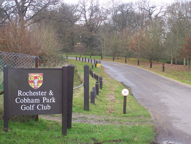
Cobham Woods

Cobham Woods is a 242.7 hectares (600 acres) biological Site of Special Scientific Interest on the western outskirts of Rochester in Kent. It is in the...

Nearby Amenities

Located within 500m of 51.409381,0.43830321
Bus Stop
Racefield Close
Flag: no
Naptan AtcoCode: 2400A074350A
Naptan Bearing: N
Naptan BusStopType: CUS
Naptan CommonName: Racefield Close
Naptan Indicator: adj
Naptan Landmark: Racefield Close
Naptan NaptanCode: kntgjgta
Naptan Street: Racefield Close
Naptan Verified: no
Public Transport: platform
Source: naptan_import
Lat/Long: 51.4073553/0.4330334
Shorne Ridgeway
Place: village
Source: OS_OpenData_StreetView
Lat/Long: 51.4083832/0.4317704
Barrier: stile
Foot: yes
Material: wood
Stile: stepover
Lat/Long: 51.4057698/0.4354876
Barrier: kissing_gate
Foot: yes
Material: metal
Lat/Long: 51.4067882/0.4351505
Barrier: kissing_gate
Foot: yes
Material: wood
Lat/Long: 51.4084565/0.4357708
Post Box
Operator: Royal Mail
Post Box Type: pillar
Ref: DA12 27
Royal Cypher: EIIR
Royal Cypher Wikidata: Q33102113
Lat/Long: 51.4065386/0.4334354
Telephone
Booth: K6
Covered: booth
Listed Status: Grade II
Operator: BT
Payment Coins: yes
Lat/Long: 51.4067229/0.4335538
Racefield Close
Bus: yes
Public Transport: stop_position
Lat/Long: 51.4072974/0.4331438
Bus Stop
Racefield Close
Bus: yes
Naptan AtcoCode: 2400A060690A
Naptan NaptanCode: kntjapap
Public Transport: platform
Lat/Long: 51.4073042/0.433217
Entrance: main
Lat/Long: 51.4066283/0.4354598
Historic: water_pump
Lat/Long: 51.4065446/0.4333774
Bench
Lat/Long: 51.4065162/0.4333783
The data included in this document is from www.openstreetmap.org. The data is made available under ODbL.

Have you been to Starmore Wood?

Leave your review of Starmore Wood below (or comments, questions and feedback).