Walk Wood
Wood, Forest in Sussex Rother
England
Walk Wood

Walk Wood is a picturesque forest located in Sussex, England. Spanning over a sprawling area, it is known for its enchanting beauty and diverse ecosystem. The wood is characterized by its dense canopy of majestic trees that create a serene and peaceful atmosphere.
The woodland is home to a variety of tree species, including oak, beech, and birch. These trees provide the perfect habitat for a wide range of wildlife, making it a popular destination for nature enthusiasts and wildlife lovers. Visitors can spot numerous bird species, such as woodpeckers, owls, and thrushes, along with small mammals like squirrels and rabbits.
The forest offers an extensive network of walking trails that wind through its lush greenery, providing ample opportunities for hikers and nature walkers to explore the area. These trails are well-maintained and offer both easy and challenging routes, catering to visitors of all fitness levels.
Additionally, Walk Wood boasts several picnic areas where visitors can relax and enjoy the surroundings. The peaceful ambiance and scenic views make it an ideal spot for families, friends, and solo travelers to unwind and reconnect with nature.
The wood is open to the public year-round, and its changing colors throughout the seasons provide a different experience with each visit. Whether in the vibrant hues of autumn or the fresh greens of spring, Walk Wood never fails to captivate its visitors and leave them with lasting memories of its natural beauty.
If you have any feedback on the listing, please let us know in the comments section below.
Walk Wood Images
Images are sourced within 2km of 50.905417/0.40932455 or Grid Reference TQ6914. Thanks to Geograph Open Source API. All images are credited.


Walk Wood is located at Grid Ref: TQ6914 (Lat: 50.905417, Lng: 0.40932455)
Administrative County: East Sussex
District: Rother
Police Authority: Sussex
What 3 Words
///snuggle.unsettled.shampoo. Near Ninfield, East Sussex
Nearby Locations
Related Wikis

Ashburnham Park
Ashburnham Park is a 109.9-hectare (272-acre) biological Site of Special Scientific Interest north-west of Hastings in East Sussex. It is a Nature Conservation...
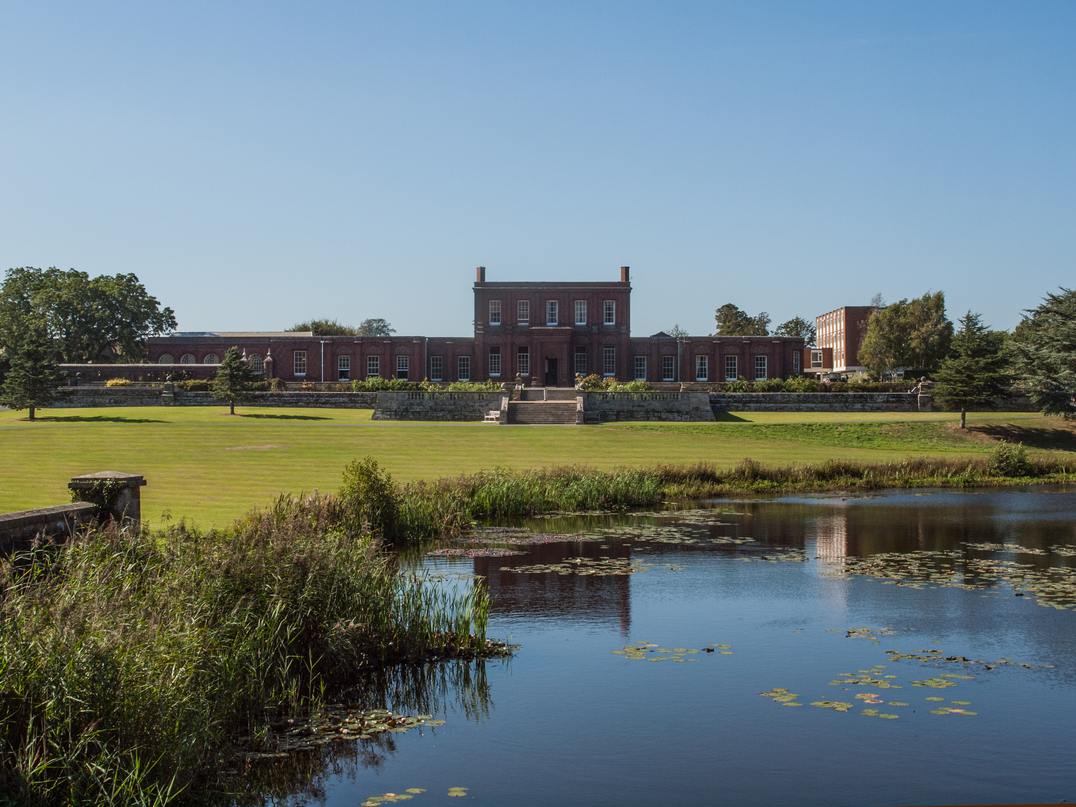
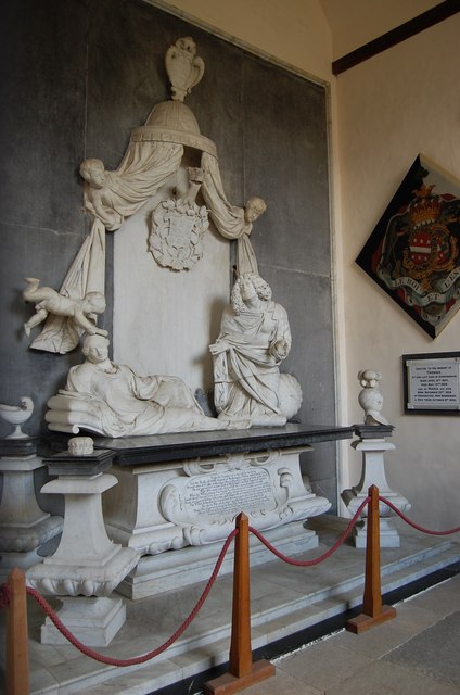
Ashburnham Place
Ashburnham Place is an English country house, now used as a Christian conference and prayer centre, five miles west of Battle, East Sussex. It was one...

Penhurst
Penhurst is a village and civil parish, sharing a parish council with neighbouring Ashburnham, in the Rother district of East Sussex, England. It is located...
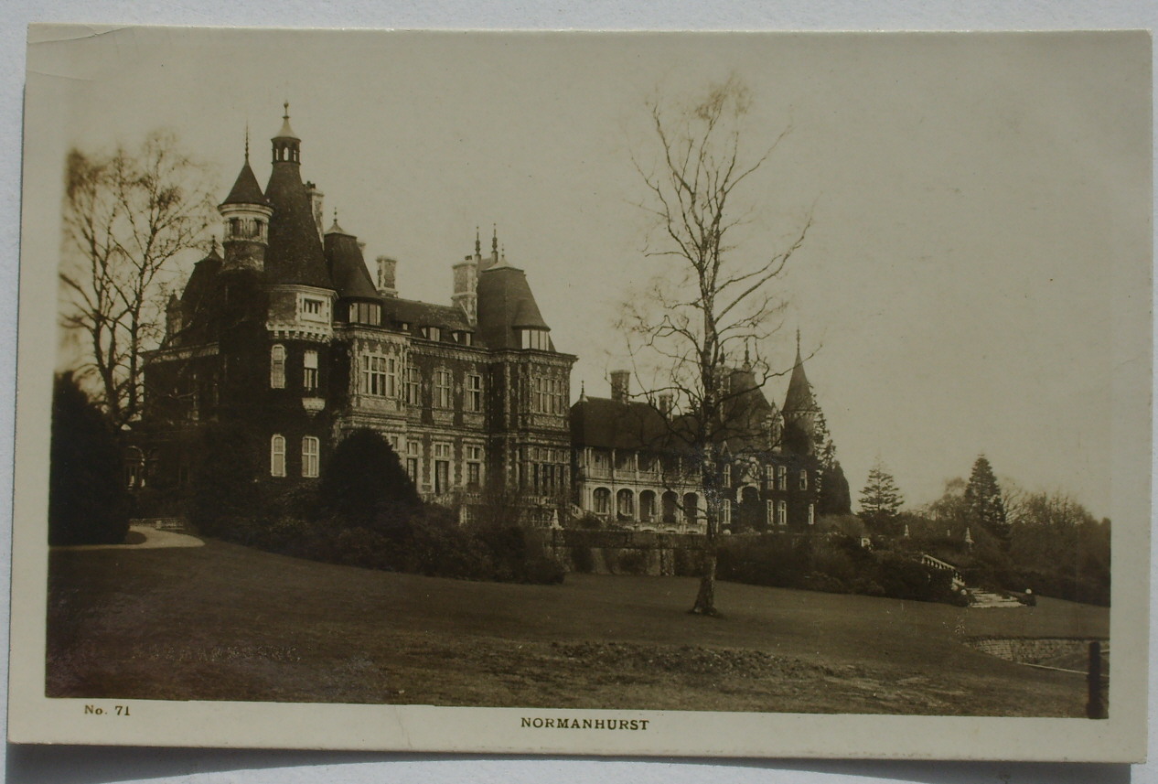
Normanhurst Court
Normanhurst Court was a large manor house in the village of Catsfield in East Sussex. == History == The building of the house was initiated by Thomas Brassey...

Ashburnham, East Sussex
Ashburnham is a civil parish in the Rother district of East Sussex, England, situated to the west of Battle. It includes the settlements of Brownbread...
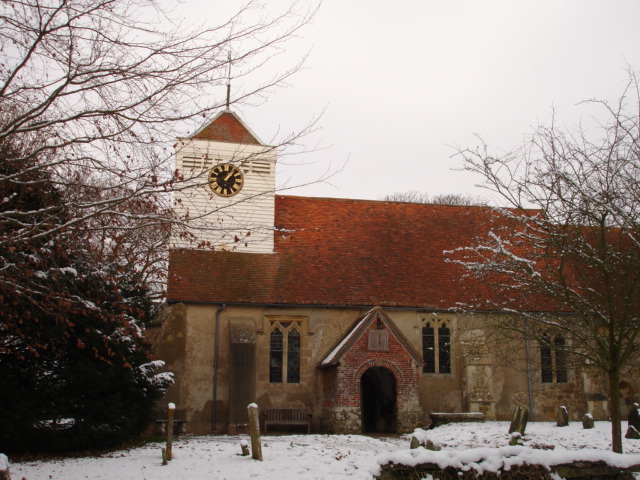
Ninfield
Ninfield is a village and civil parish in the Wealden District of East Sussex, England. The village is quite linear and centred 4 miles (6.4 km) north...

Catsfield
Catsfield is a village and civil parish in the Rother district of East Sussex, England. It is located six miles (9.7 km) north of Bexhill, and three miles...

Battle of Mercredesburne
The Battle of Mercredesburne was one of three battles fought as part of the conquest of what became the Kingdom of Sussex in southern England. The battles...
Nearby Amenities
Located within 500m of 50.905417,0.40932455Have you been to Walk Wood?
Leave your review of Walk Wood below (or comments, questions and feedback).