Carter's Plantation
Wood, Forest in Norfolk King's Lynn and West Norfolk
England
Carter's Plantation
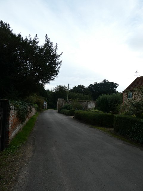
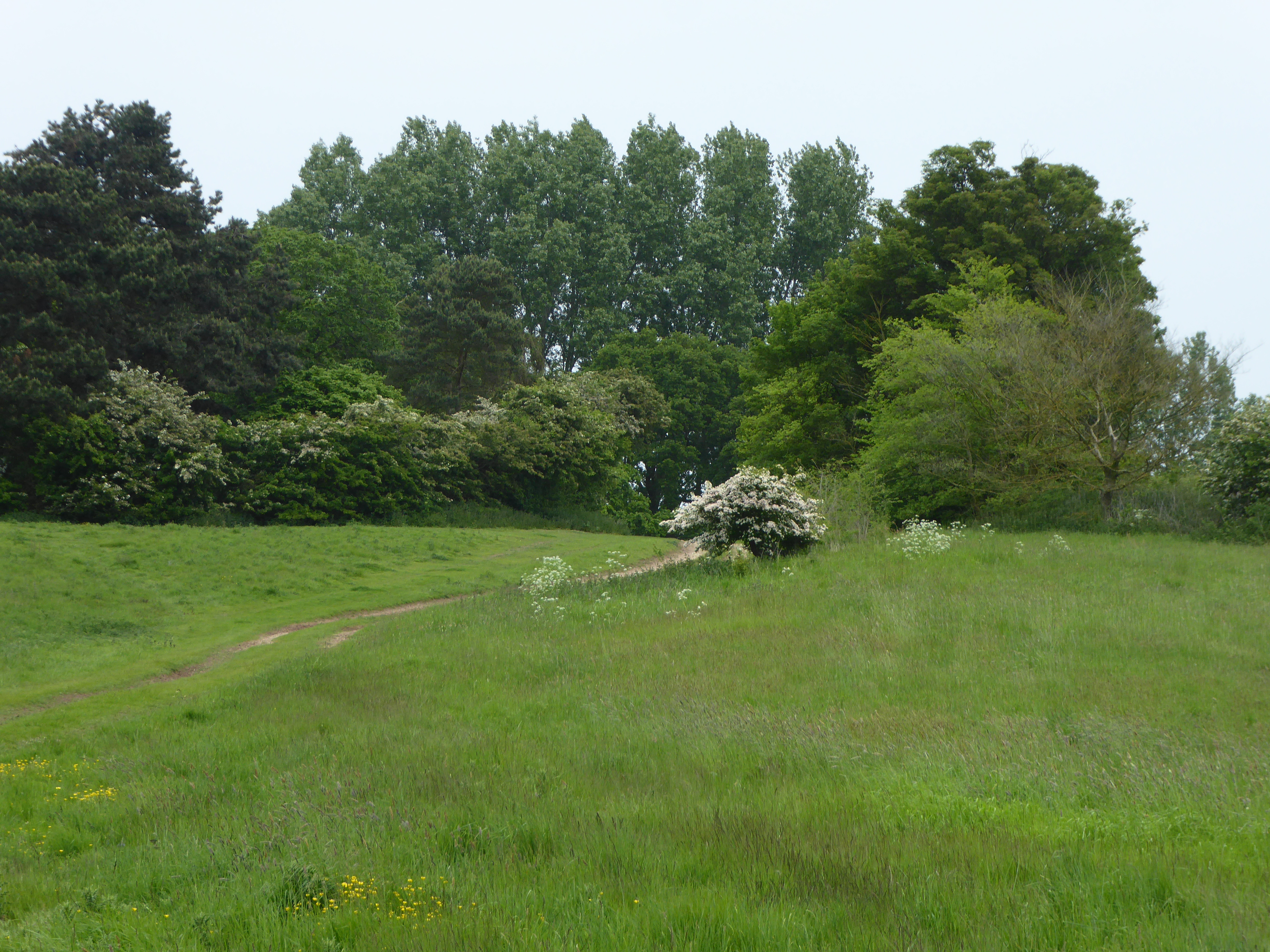
Carter's Plantation, located in Norfolk, is a sprawling wood and forest area that covers a vast expanse of land. Known for its lush greenery and diverse range of plant and animal species, it is a haven for nature enthusiasts and a popular destination for those seeking outdoor activities.
The plantation boasts an impressive variety of trees, including oak, pine, and maple, among others. These trees provide a haven for numerous bird species, making it a paradise for birdwatchers. Additionally, the forest is home to several mammals, such as deer, squirrels, and rabbits, adding to the rich biodiversity of the area.
Visitors to Carter's Plantation can enjoy a range of recreational activities. Hiking trails wind through the forest, allowing visitors to explore its natural beauty and discover hidden gems along the way. Picnic areas are scattered throughout the plantation, providing a serene setting for families and friends to enjoy a meal amidst nature. For those who prefer more adrenaline-pumping activities, the plantation offers opportunities for mountain biking and horseback riding.
The management of Carter's Plantation places great emphasis on conservation and sustainability. Efforts are made to maintain the natural integrity of the forest, ensuring that it remains a pristine environment for both flora and fauna. The plantation also provides educational programs and guided tours to raise awareness about the importance of preserving natural habitats.
Carter's Plantation is a haven of tranquility and natural beauty, offering visitors a chance to immerse themselves in the wonders of Norfolk's wood and forest.
If you have any feedback on the listing, please let us know in the comments section below.
Carter's Plantation Images
Images are sourced within 2km of 52.933955/0.5186842 or Grid Reference TF6940. Thanks to Geograph Open Source API. All images are credited.


Carter's Plantation is located at Grid Ref: TF6940 (Lat: 52.933955, Lng: 0.5186842)
Administrative County: Norfolk
District: King's Lynn and West Norfolk
Police Authority: Norfolk
What 3 Words
///measuring.justifies.foal. Near Hunstanton, Norfolk
Nearby Locations
Related Wikis

Ringstead Downs
Ringstead Downs is a 6.9-hectare (17-acre) biological Site of Special Scientific Interest east of Hunstanton in Norfolk. It is in the Norfolk Coast Area...
Hunstanton Park Esker
Hunstanton Park Esker is a 17.3-hectare (43-acre) geological Site of Special Scientific Interest east of Hunstanton in Norfolk. The esker extends 1.5 km...
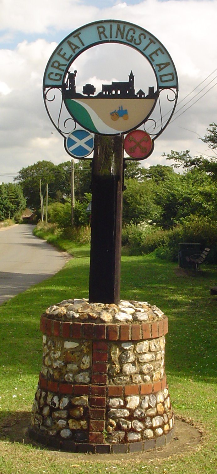
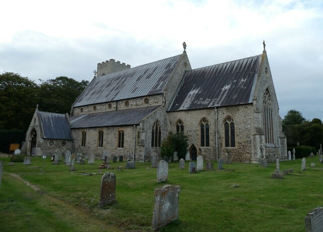
Ringstead, Norfolk
Ringstead is a village and civil parish in the north-west corner of the English county of Norfolk. It covers an area of 11.13 km2 (4.30 sq mi) and had...
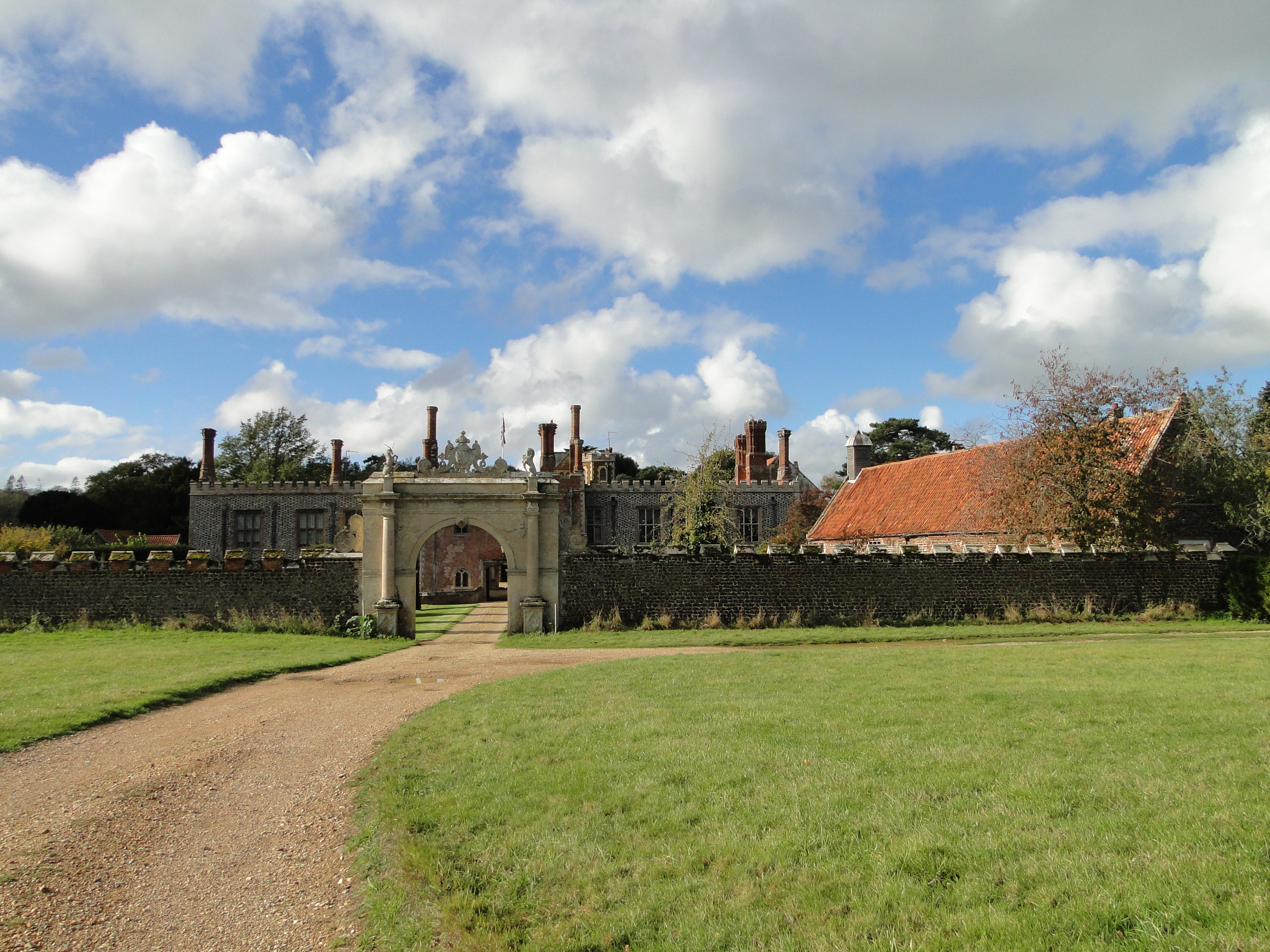
Hunstanton Hall
Hunstanton Hall, Old Hunstanton, Norfolk, England is a country house dating originally from the 15th century. The gatehouse, now detached from the main...

Paul Nicholas School of Acting & Performing Arts
The Paul Nicholas School of Acting & Performing Arts was a franchise of stage and performance schools created by actor and singer Paul Nicholas for young...
Smithdon High School
Smithdon High School (formerly known as Hunstanton Secondary Modern School and Hunstanton School) is a small comprehensive school (ages 11–16) academy...
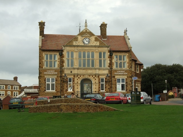
Hunstanton Town Hall
Hunstanton Town Hall is a municipal building on The Green in Hunstanton, Norfolk, England. The structure, which is the meeting place of Hunstanton Town...
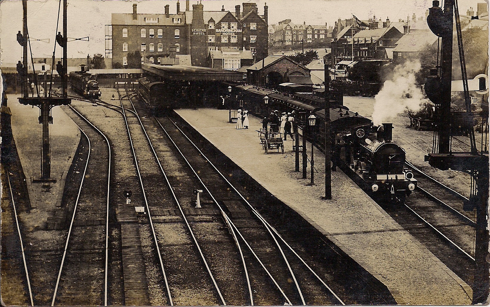
Hunstanton railway station
Hunstanton railway station served the seaside town of Hunstanton in Norfolk, England. Opened in 1862, the station was the northern terminus of the Lynn...
Nearby Amenities
Located within 500m of 52.933955,0.5186842Have you been to Carter's Plantation?
Leave your review of Carter's Plantation below (or comments, questions and feedback).