Chalkpit Plantation
Wood, Forest in Cambridgeshire East Cambridgeshire
England
Chalkpit Plantation
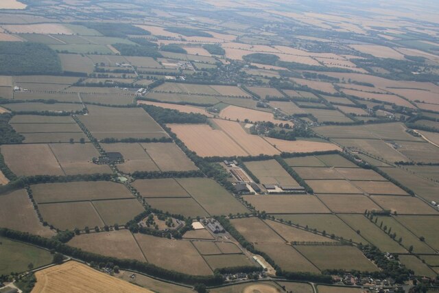
Chalkpit Plantation is a picturesque woodland located in Cambridgeshire, England. Situated in the heart of the county, this woodland area is known for its diverse range of flora and fauna, making it a popular destination for nature enthusiasts and outdoor enthusiasts alike.
Covering an area of approximately 100 acres, Chalkpit Plantation is predominantly made up of deciduous trees such as oak, beech, and ash. These majestic trees provide a stunning canopy, creating a tranquil and serene atmosphere within the woodland. In spring, the woodland floor is adorned with a beautiful display of bluebells, adding a burst of color to the landscape.
The plantation is home to a variety of wildlife species, including deer, squirrels, and a wide range of bird species. It is not uncommon to spot woodpeckers, buzzards, and owls while exploring the woodland trails. The peaceful environment and abundance of natural resources make it an ideal habitat for these creatures.
Chalkpit Plantation offers numerous walking trails, allowing visitors to explore the woodland at their own pace. The paths are well-maintained and provide easy access for walkers of all abilities. Additionally, the woodland is a popular spot for picnics and family outings, with designated areas available for visitors to relax and enjoy the surroundings.
Overall, Chalkpit Plantation is a haven of tranquility and natural beauty in Cambridgeshire. With its diverse range of trees, vibrant flora, and abundance of wildlife, it offers a wonderful opportunity for visitors to immerse themselves in nature and enjoy the peacefulness of the woodland environment.
If you have any feedback on the listing, please let us know in the comments section below.
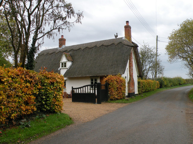
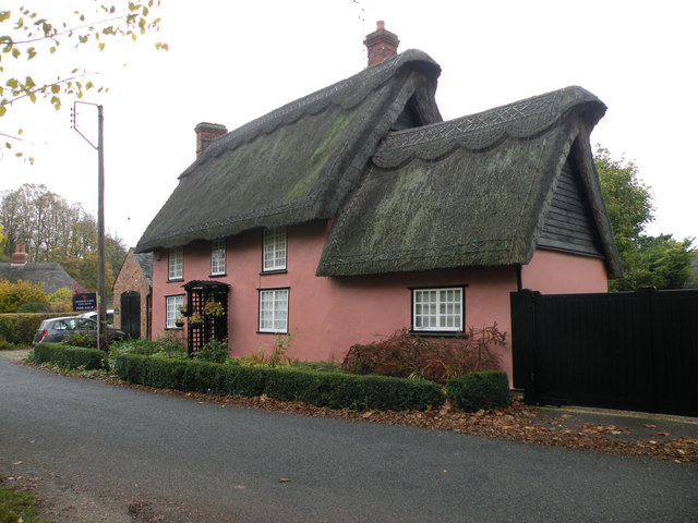
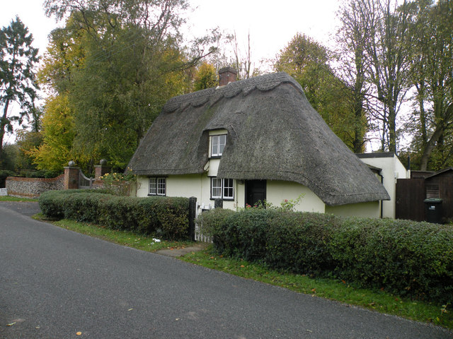
Chalkpit Plantation Images
Images are sourced within 2km of 52.190825/0.47521133 or Grid Reference TL6957. Thanks to Geograph Open Source API. All images are credited.


Chalkpit Plantation is located at Grid Ref: TL6957 (Lat: 52.190825, Lng: 0.47521133)
Administrative County: Cambridgeshire
District: East Cambridgeshire
Police Authority: Cambridgeshire
What 3 Words
///shadow.flagpole.scared. Near Newmarket, Suffolk
Nearby Locations
Related Wikis

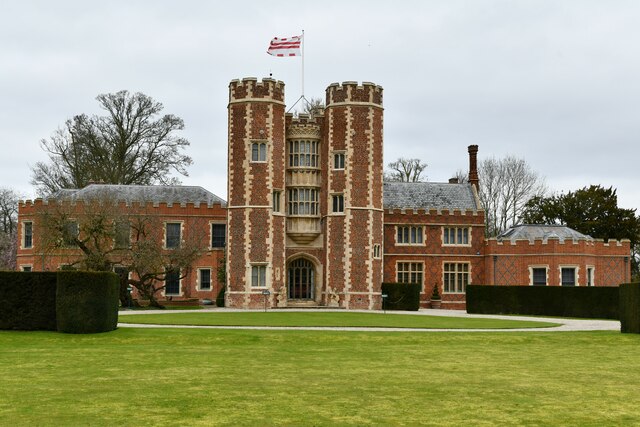
Kirtling Tower
Kirtling Tower was a medieval castle and Tudor country house in Kirtling, Cambridgeshire, England, of which the gatehouse still remains. == History... ==

Upend
Upend is a hamlet in the east of Cambridgeshire. It is five miles (8.0 km) south-east of Newmarket and lies in the same parish as Kirtling. Until the...

Kirtling
Kirtling, together with Kirtling Green and Kirtling Towers, is a scattered settlement in the south-eastern edge of the English county of Cambridgeshire...

Lidgate Castle
Lidgate Castle is a medieval motte and bailey castle in the village of Lidgate, Suffolk, England, built to an unusual quadrangular design. == Details... ==

Woodditton
Woodditton is a village and civil parish in East Cambridgeshire, England. The other settlements in the parish are Ditton Green, Little Ditton and Saxon...
Lidgate
Lidgate is a small village and a civil parish in the West Suffolk district, in the English county of Suffolk. Lidgate is located on the B1063 road in between...
Ashley, Cambridgeshire
Ashley is a village and civil parish in the East Cambridgeshire district of Cambridgeshire, England, about 4 miles (6.4 km) east of Newmarket. The modern...

Cheveley
The village of Cheveley is situated in the county of Cambridgeshire and lies about four miles east-south-east of the market town of Newmarket. The population...
Nearby Amenities
Located within 500m of 52.190825,0.47521133Have you been to Chalkpit Plantation?
Leave your review of Chalkpit Plantation below (or comments, questions and feedback).