Twenty Acre Wood
Wood, Forest in Sussex Rother
England
Twenty Acre Wood

Twenty Acre Wood, located in the county of Sussex, is a picturesque and enchanting forest that spans approximately twenty acres of land. This woodland area is renowned for its natural beauty, diverse flora and fauna, and tranquil atmosphere.
The wood is predominantly composed of mature deciduous trees, such as oak, beech, and ash, which provide a dense canopy and create a vibrant and colorful landscape throughout the seasons. The forest floor is covered with a thick carpet of moss, ferns, and wildflowers, adding to its visual appeal.
A network of well-maintained walking trails crisscross the wood, allowing visitors to explore its various nooks and crannies at their leisure. These trails range in difficulty, catering to both casual strollers and avid hikers. Along the way, visitors may encounter a variety of wildlife, including squirrels, rabbits, deer, and a plethora of bird species.
Twenty Acre Wood is also home to a small pond, which serves as a watering hole for the local wildlife and provides a peaceful spot for visitors to relax and observe nature. Additionally, the wood offers several designated picnic areas, perfect for enjoying a packed lunch amidst the serenity of the forest.
The wood is open to the public year-round and is well-maintained by local authorities. It is a popular destination for nature enthusiasts, families, and anyone seeking a respite from the hustle and bustle of everyday life. With its diverse ecosystems, scenic vistas, and abundant wildlife, Twenty Acre Wood is truly a hidden gem in the heart of Sussex.
If you have any feedback on the listing, please let us know in the comments section below.
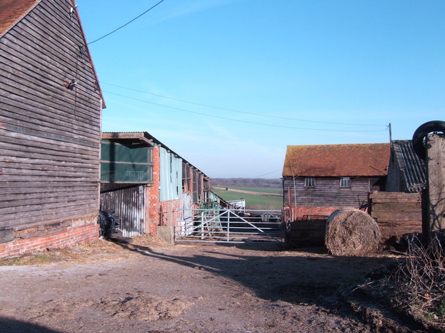
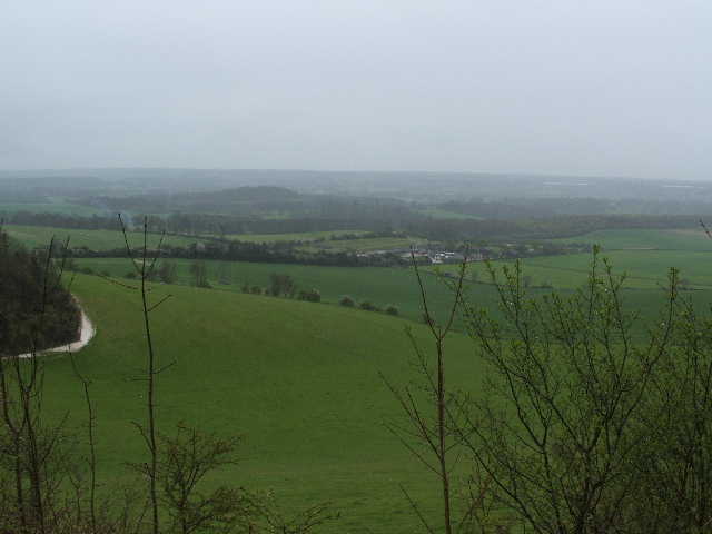
Twenty Acre Wood Images
Images are sourced within 2km of 51.018008/0.41167831 or Grid Reference TQ6927. Thanks to Geograph Open Source API. All images are credited.


Twenty Acre Wood is located at Grid Ref: TQ6927 (Lat: 51.018008, Lng: 0.41167831)
Administrative County: East Sussex
District: Rother
Police Authority: Sussex
What 3 Words
///racked.crusher.superbly. Near Burwash, East Sussex
Nearby Locations
Related Wikis
Weald
The Weald () is an area of South East England between the parallel chalk escarpments of the North and the South Downs. It crosses the counties of Hampshire...
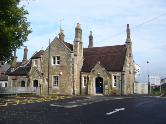
Etchingham railway station
Etchingham railway station is on the Hastings line in the south of England and serves the village of Etchingham, East Sussex. It is 47 miles 34 chains...

Etchingham
Etchingham is a village and civil parish in the Rother district of East Sussex in southern England. The village is located approximately 15 miles (24 km...

Burwash
Burwash, archaically known as Burghersh, is a rural village and civil parish in the Rother district of East Sussex, England. Situated in the High Weald...
Related Videos

Hiking to Medieval Castles in High Weald, England | Lejog Training Ep.23
In this hiking vlog I hike to medieval castles in a stunning part of the English Countryside called High Weald! High Weald, UK is ...

Permitted Exercise: Walking the loop
Just a month ago the idea of “Permitted Daily Exercise” would have been an alien concept, yet now its a part of virtually ...
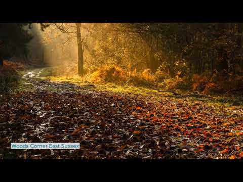
High Weald Landscape Photography
The High Weald stretches from the coast in East Sussex into Kent and to a lesser extent west Sussex and Surrey. Although greatly ...

200km ride & wild camp with NO MAPS!
Me and Jack thought it was time we needed to do a little yolo so we decided to ride south with some basic camping equipment.
Nearby Amenities
Located within 500m of 51.018008,0.41167831Have you been to Twenty Acre Wood?
Leave your review of Twenty Acre Wood below (or comments, questions and feedback).