Boxted Wood
Wood, Forest in Essex Uttlesford
England
Boxted Wood

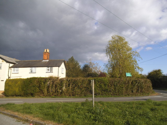
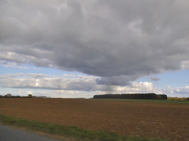
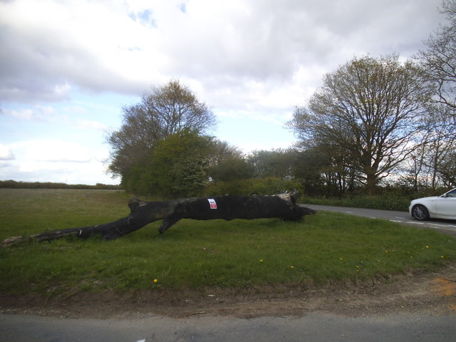
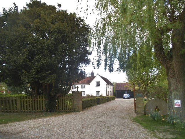
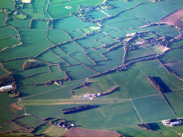
Boxted Wood is a picturesque forest located in Essex, England. Covering an area of approximately 50 hectares, it is a popular destination for nature enthusiasts and those seeking tranquility amidst the beauty of nature. The wood is situated near the village of Boxted, just a few miles away from Colchester.
The wood is predominantly composed of broadleaf trees, including oak, beech, and hornbeam, which create a dense canopy overhead. These trees provide shelter and a habitat for a diverse range of wildlife, making Boxted Wood an important conservation area.
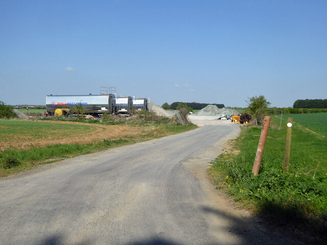
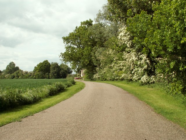
Visitors to Boxted Wood can enjoy a network of well-maintained footpaths that wind through the forest, allowing for leisurely walks and exploration. The wood is particularly stunning during the springtime when wildflowers bloom, creating a vibrant tapestry of colors. Autumn also brings a spectacle of fiery hues as the leaves change, making it a popular time for photography enthusiasts.
In addition to its natural beauty, Boxted Wood has historical significance. The area was once part of King Henry VIII's hunting grounds and remnants of medieval deer parks can still be seen today. The wood also played a role in World War II, as it was used by the military for training exercises.
Overall, Boxted Wood offers a peaceful retreat for those looking to escape the hustle and bustle of everyday life. With its diverse flora and fauna, picturesque walking trails, and rich history, it is a true gem in the Essex countryside.
If you have any feedback on the listing, please let us know in the comments section below.
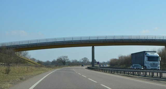
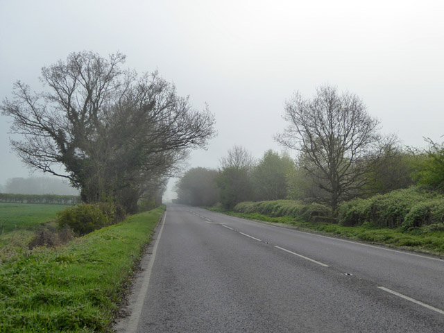
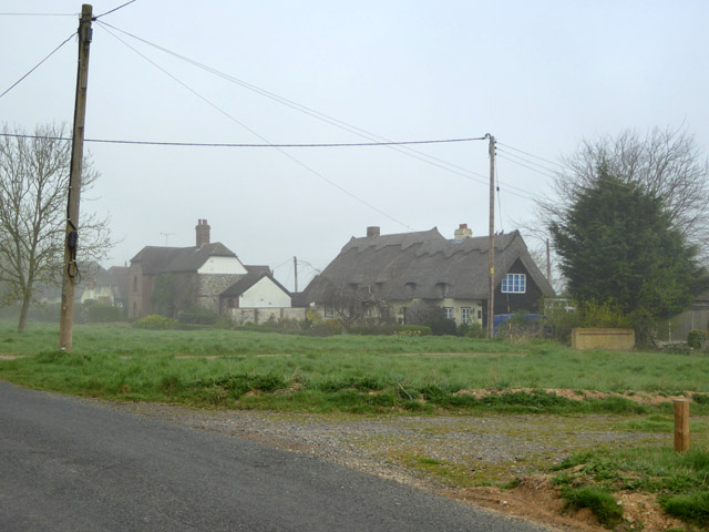
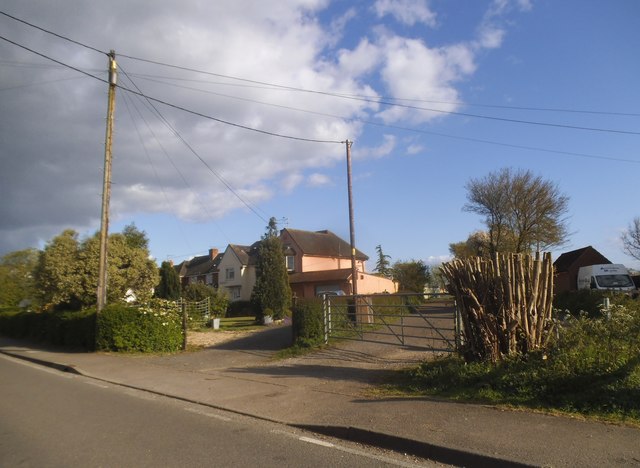
Boxted Wood Images
Images are sourced within 2km of 51.887524/0.45701075 or Grid Reference TL6923. Thanks to Geograph Open Source API. All images are credited.


Boxted Wood is located at Grid Ref: TL6923 (Lat: 51.887524, Lng: 0.45701075)
Administrative County: Essex
District: Uttlesford
Police Authority: Essex
What 3 Words
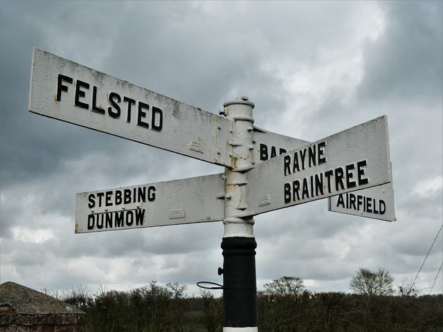
///betraying.vibrates.teach. Near Little Dunmow, Essex
Nearby Locations
Related Wikis

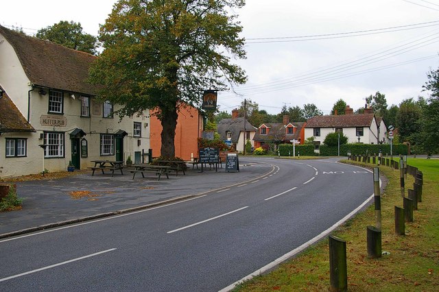
Stebbing Green
Stebbing Green is a hamlet in the Uttlesford district, in the county of Essex. It is near the village of Stebbing; its post town is Dunmow. It is near...

Andrewsfield Aerodrome
Andrewsfield Aerodrome (ICAO: EGSL) is located 4 NM (7.4 km; 4.6 mi) west northwest of Braintree, Essex, England, formerly RAF Andrews Field. Both the...
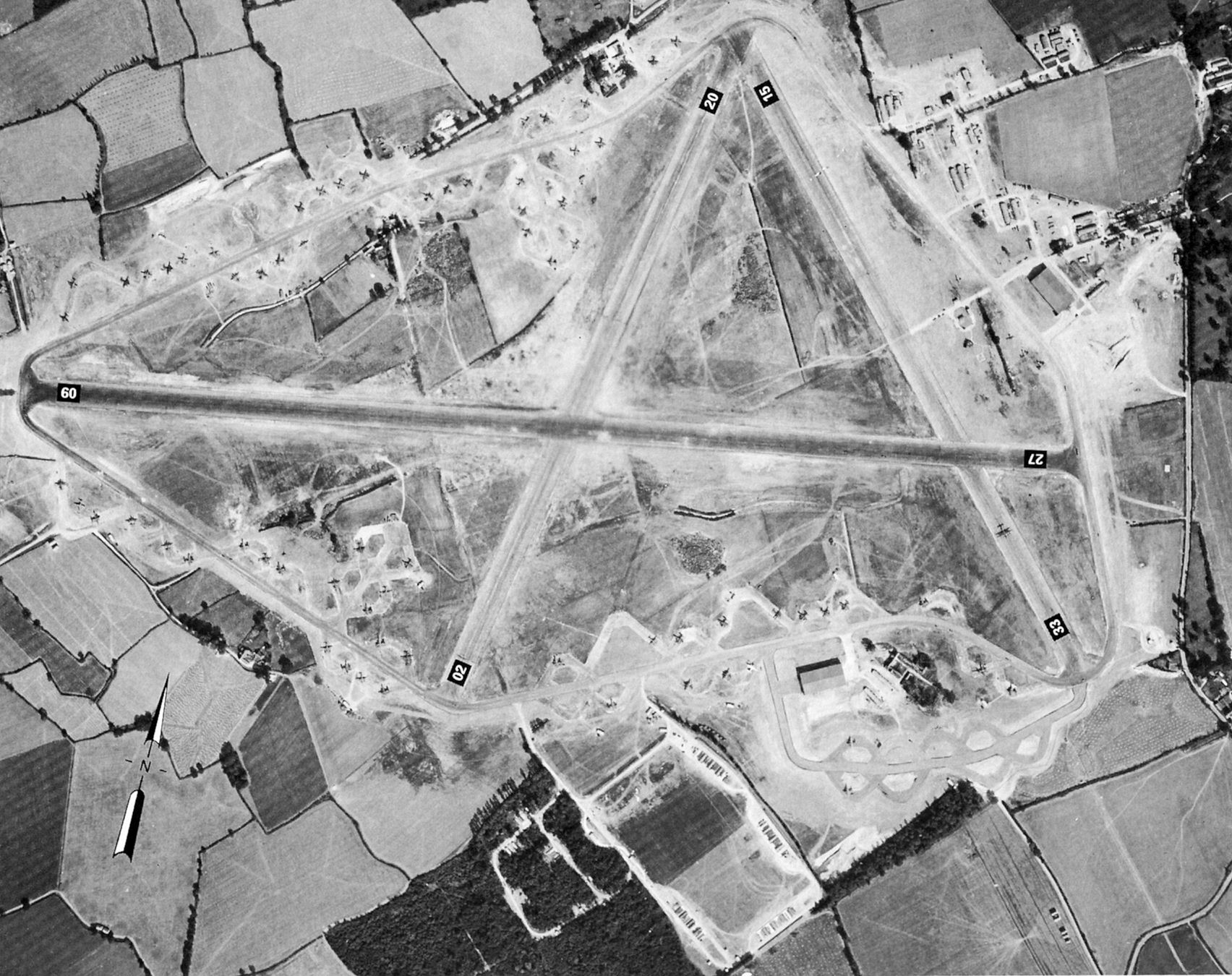
RAF Andrews Field
Royal Air Force Andrews Field or more simply RAF Andrews Field (also known as RAF Andrewsfield and RAF Great Saling) is a former Royal Air Force station...

Blake End
Blake End is a hamlet on the B1256 road in the civil parish of The Salings, in the Braintree district of Essex, England. The hamlet is situated between...
Great Saling
Great Saling is a village and former civil parish, now in the parish of The Salings, in the Braintree district of the county of Essex, England. The population...
Gransmore Green
Gransmore Green is a hamlet in the civil parish of Felsted, in the Uttlesford district of Essex, England. Nearby settlements include the towns of Braintree...

Bannister Green Halt railway station
Bannister Green Halt railway station was a station in Bannister Green, Essex, England. The station was 13 miles 37 chains (21.67 km) from Bishop's Stortford...
The Salings
The Salings is a civil parish in the Braintree District in Essex, England. It includes Bardfield Saling and Great Saling. The civil parish has 475 inhabitants...
Have you been to Boxted Wood?
Leave your review of Boxted Wood below (or comments, questions and feedback).