Blackthorn Wood

Wood, Forest in Cambridgeshire East Cambridgeshire

England

Blackthorn Wood

Property NE of Upend: aerial 2022
Property NE of Upend: aerial 2022 Credit: Simon Tomson

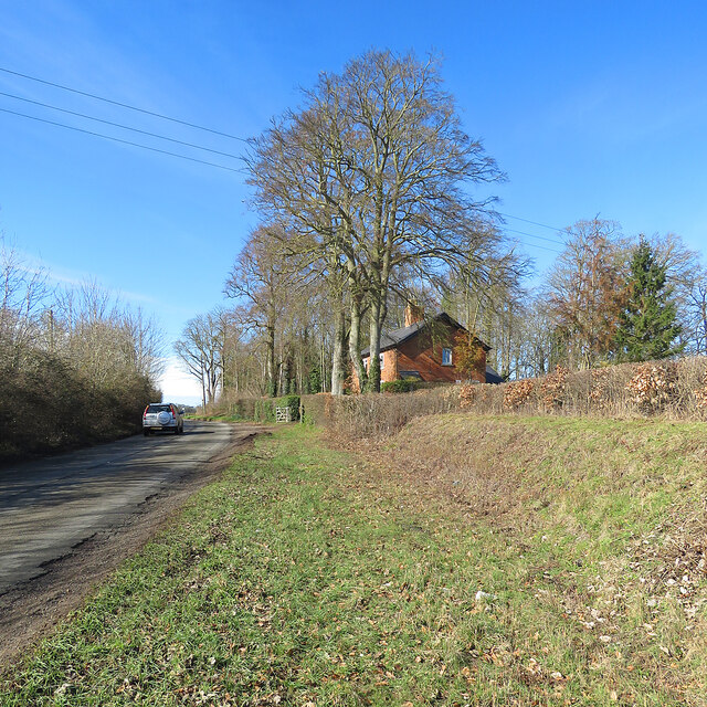
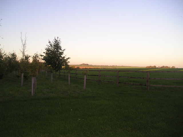
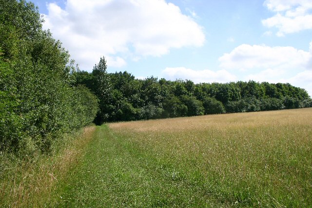
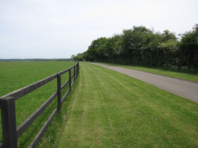
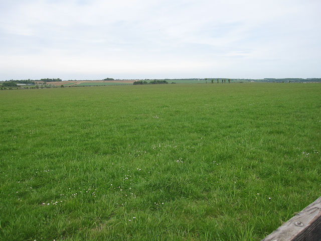
Blackthorn Wood is a picturesque forest located in Cambridgeshire, England. Covering an area of approximately 100 acres, it is known for its rich biodiversity and stunning natural beauty. The wood is named after the blackthorn tree, which is abundant throughout the area.

The forest is primarily composed of deciduous trees, including oak, ash, and birch, creating a diverse and vibrant ecosystem. The dense canopy provides a habitat for a wide range of bird species, making it a popular destination for birdwatchers. Additionally, the undergrowth is home to various mammals, such as badgers, foxes, and deer.

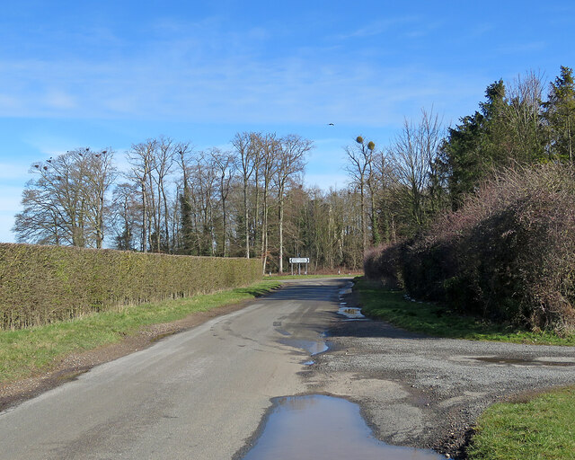
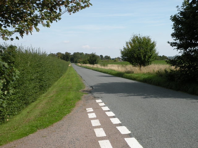
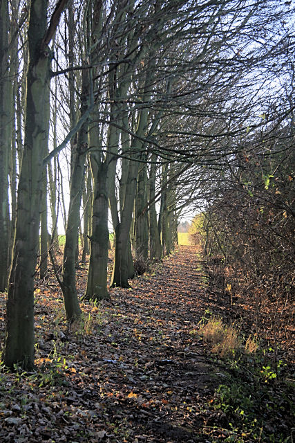
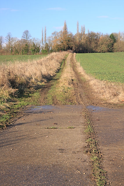
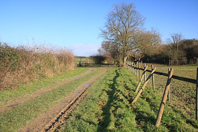
Blackthorn Wood boasts several well-maintained trails, allowing visitors to explore its enchanting surroundings. These pathways wind through the forest, offering breathtaking views of the flora and fauna. The wood is especially captivating during the spring when vibrant wildflowers carpet the forest floor, creating a kaleidoscope of colors.

The wood is also a popular destination for nature enthusiasts and photographers. The tranquil atmosphere and natural beauty make it an ideal spot for capturing stunning landscape shots or simply enjoying a peaceful walk in nature. There are designated picnic areas within the wood, providing a perfect setting for a family outing or a quiet lunch amidst the scenic surroundings.

Overall, Blackthorn Wood is a captivating natural gem in Cambridgeshire, offering a serene escape from the hustle and bustle of everyday life. Whether for leisurely walks, wildlife spotting, or nature photography, this enchanting forest has something to offer for everyone.

If you have any feedback on the listing, please let us know in the comments section below.

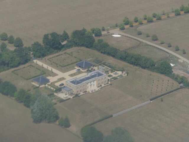
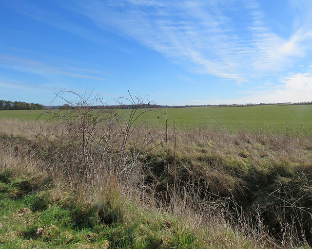
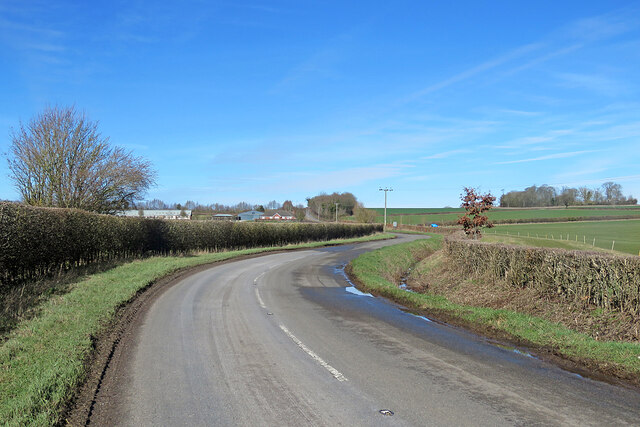
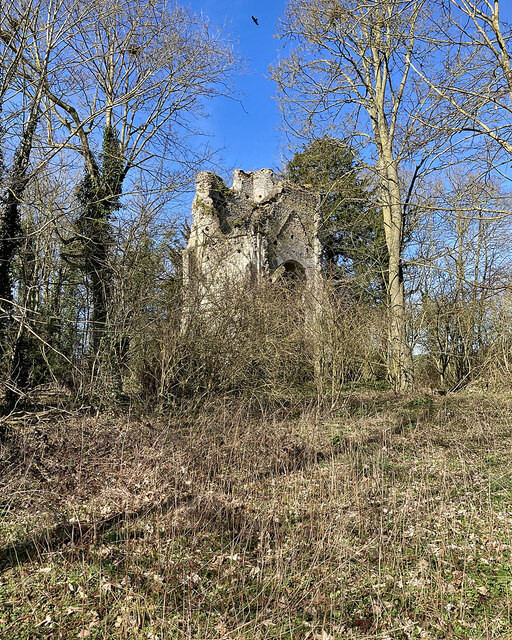
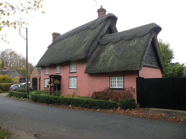
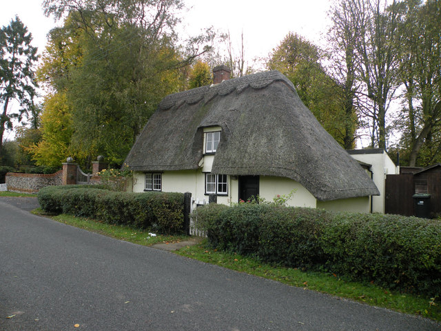
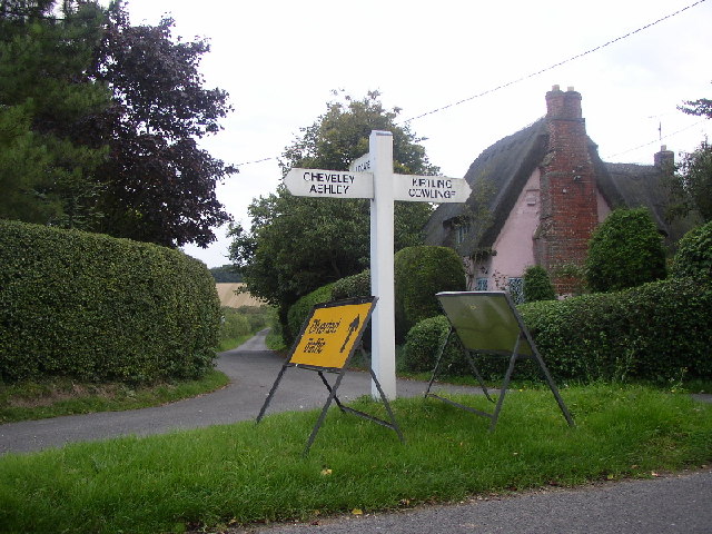
Blackthorn Wood Images

Images are sourced within 2km of 52.204661/0.4706528 or Grid Reference TL6859. Thanks to Geograph Open Source API. All images are credited.

Property NE of Upend: aerial 2022
Big fields on the edge of Cambridgeshire Looking east-southeast from the roadside opposite the farm on Upend Road. Suffolk is not far away.
Big fields on the edge of Cambridgeshire
Looking east-southeast from the roadside opposite the farm on Upend Road. Suffolk is not far away.
Silverley to Ashley on the B1063 Gently rolling country on the eastern edge of Cambridgeshire.
Silverley to Ashley on the B1063
Gently rolling country on the eastern edge of Cambridgeshire.
Silverley: the ruins of All Saints' Church Silverley was once big enough to have an impressive church, but is now no more than a farm and a few cottages. The settlement shifted northwards, to Ashley, and the church was abandoned in the sixteenth century. Only the ruined tower remains, in a copse. "Eminently picturesque in its decay. The interior especially fine, with the winding of the spiral stair ripped open" (Nikolaus Pevsner).
Silverley: the ruins of All Saints' Church
Silverley was once big enough to have an impressive church, but is now no more than a farm and a few cottages. The settlement shifted northwards, to Ashley, and the church was abandoned in the sixteenth century. Only the ruined tower remains, in a copse. "Eminently picturesque in its decay. The interior especially fine, with the winding of the spiral stair ripped open" (Nikolaus Pevsner).
Silverley: cottage and copse Now no more than a farm, a few cottages and a road junction, Silverley was once big enough to have an impressive church, whose ruined tower survives among the trees on the crest of the hill: <a href="https://www.geograph.org.uk/photo/7429779">TL7060 : Silverley: the ruins of All Saints' Church</a>.
Silverley: cottage and copse
Now no more than a farm, a few cottages and a road junction, Silverley was once big enough to have an impressive church, whose ruined tower survives among the trees on the crest of the hill: TL7060 : Silverley: the ruins of All Saints' Church.
Nearing Silverley This is the road from Cheveley and Broad Green. There's a hint of <a href="https://www.geograph.org.uk/photo/7429779">TL7060 : Silverley: the ruins of All Saints' Church</a> among the trees just to the right of the signpost.
Nearing Silverley
This is the road from Cheveley and Broad Green. There's a hint of TL7060 : Silverley: the ruins of All Saints' Church among the trees just to the right of the signpost.
Road from Woodditton to Ashley
Well Cottage, Upend Cottage possibly C17. Timber framed and plastered - described on the listed building register with corrugated iron roof but now thatched. Grade II listed.
Well Cottage, Upend
Cottage possibly C17. Timber framed and plastered - described on the listed building register with corrugated iron roof but now thatched. Grade II listed.
Oak Gate, Upend Late C17 or early C18. Timber framed and plastered. Grade II listed.
Oak Gate, Upend
Late C17 or early C18. Timber framed and plastered. Grade II listed.
Gate Cottage, Upend C17. Timber framed and plastered with hipped thatched roof. Grade II listed.
Gate Cottage, Upend
C17. Timber framed and plastered with hipped thatched roof. Grade II listed.
Upend Looking down the road to Lidgate. Main street (such as it is) runs left to right
Upend
Looking down the road to Lidgate. Main street (such as it is) runs left to right
Sundowner Looking NE across the square
Sundowner
Looking NE across the square
Footpath to Kirtling This path, overgrown in places, links Upend and Kirtling.
Footpath to Kirtling
This path, overgrown in places, links Upend and Kirtling.
Footpath to Kirtling The path follows the edge of a wood, alongside a hedge.
Footpath to Kirtling
The path follows the edge of a wood, alongside a hedge.
Track to Moat Farm, Upend This farm track heads northwards from the minor road linking Lidgate and Upend.
Track to Moat Farm, Upend
This farm track heads northwards from the minor road linking Lidgate and Upend.
Footpath to Upend This is near the end of the footpath from Kirtling, as it approaches the minor road linking Lidgate and Upend. Spare posts are resting against the fence.
Footpath to Upend
This is near the end of the footpath from Kirtling, as it approaches the minor road linking Lidgate and Upend. Spare posts are resting against the fence.
Footpath towards Hall Farm Around one of the many Stud Farms in the area.
Footpath towards Hall Farm
Around one of the many Stud Farms in the area.
Stud country Close to Newmarket so horses dominate the land use.
Stud country
Close to Newmarket so horses dominate the land use.
Show me another place!

Blackthorn Wood is located at Grid Ref: TL6859 (Lat: 52.204661, Lng: 0.4706528)

Administrative County: Cambridgeshire

District: East Cambridgeshire

Police Authority: Cambridgeshire

What 3 Words

///thinks.imprints.dirt. Near Newmarket, Suffolk

Nearby Locations

Osier Wood Blackthorn Wood

Related Wikis

Ashley, Cambridgeshire

Ashley is a village and civil parish in the East Cambridgeshire district of Cambridgeshire, England, about 4 miles (6.4 km) east of Newmarket. The modern...

Kirtling Tower

Kirtling Tower was a medieval castle and Tudor country house in Kirtling, Cambridgeshire, England, of which the gatehouse still remains. == History... ==

Cheveley

The village of Cheveley is situated in the county of Cambridgeshire and lies about four miles east-south-east of the market town of Newmarket. The population...

Upend

Upend is a hamlet in the east of Cambridgeshire. It is five miles (8.0 km) south-east of Newmarket and lies in the same parish as Kirtling. Until the...

Cheveley Castle

Cheveley Castle was a medieval fortified manor house near Cheveley, Cambridgeshire, England. == Details == Cheveley Castle was built by Sir John Pulteney...

Woodditton

Woodditton is a village and civil parish in East Cambridgeshire, England. The other settlements in the parish are Ditton Green, Little Ditton and Saxon...

Kirtling

Kirtling, together with Kirtling Green and Kirtling Towers, is a scattered settlement in the south-eastern edge of the English county of Cambridgeshire...
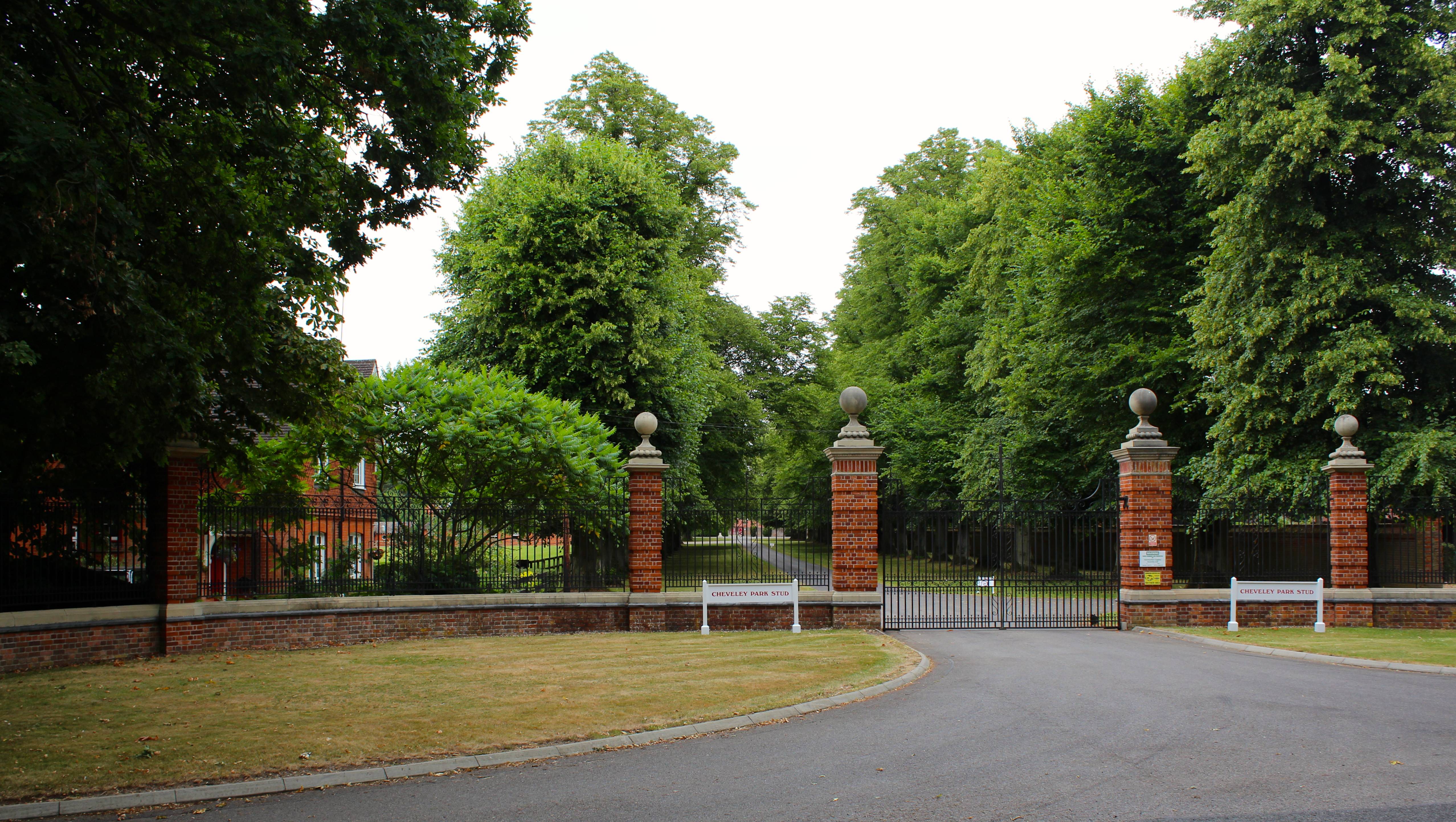
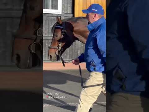
Cheveley Park Stud

Cheveley Park Stud is a thoroughbred racehorse ownership and breeding operation in Newmarket, Suffolk, UK, which has bred and owned many notable horses...

Related Videos

Monday bank holiday wedding - 27.08.18 Granary Estates

When the wedding is Rock'in - Bohemian Rhapsody come knocking! www.mobile-disco-norfolk.co.uk.

Granary Estate Newmarket Wedding

A wedding in Newmarket Suffolk at The Granary Estates filmed by Suffolk Wedding Videographer Steve Hood Granary Barns.

Have you been to Blackthorn Wood?

Leave your review of Blackthorn Wood below (or comments, questions and feedback).