Long Belt
Wood, Forest in Norfolk King's Lynn and West Norfolk
England
Long Belt

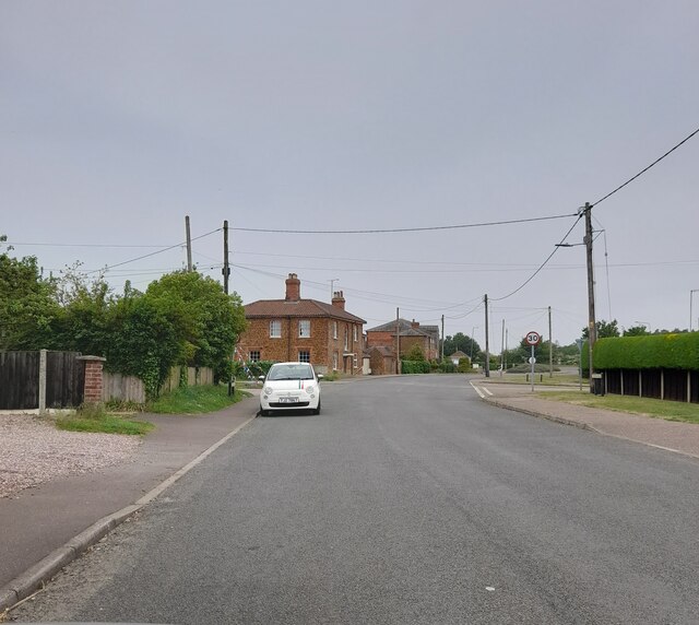
Long Belt is a charming and picturesque woodland area located in Norfolk, England. It is known for its dense forest cover and abundant wildlife, making it a popular destination for nature enthusiasts and outdoor adventurers. The woodland is situated near the village of Wood, providing a tranquil and scenic environment for visitors to explore.
Long Belt stretches across several acres, offering a diverse range of flora and fauna. The forest is characterized by its tall and majestic trees, including oak, beech, and pine, which create a dense canopy that provides shade and shelter. The forest floor is carpeted with a variety of wildflowers, ferns, and mosses, adding to the area's natural beauty.
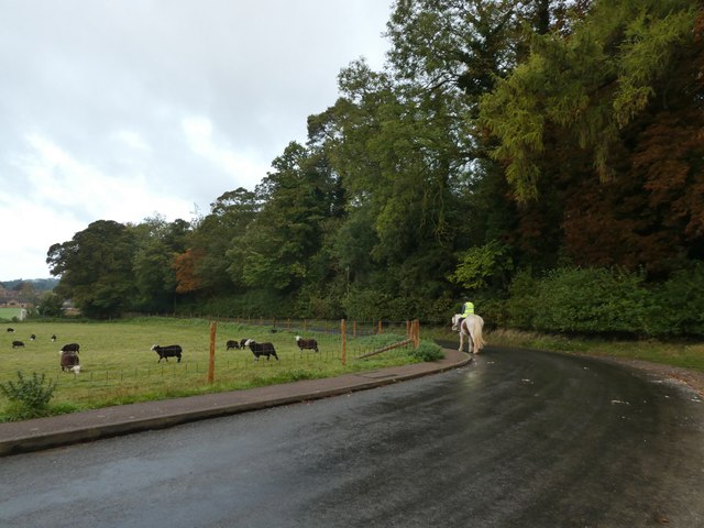
The woodland is home to a rich array of wildlife, making it a haven for nature lovers. Birdwatchers can spot a wide range of species, including woodpeckers, owls, and various songbirds. Small mammals such as squirrels, rabbits, and hedgehogs are also commonly seen scurrying through the undergrowth. If lucky, visitors may even catch a glimpse of larger species such as deer or foxes.
Long Belt offers several walking trails and paths, allowing visitors to explore its enchanting surroundings. These paths are well-maintained and provide opportunities for leisurely strolls or more adventurous hikes. Additionally, the forest is equipped with picnic areas and benches, providing visitors with a chance to relax and enjoy the serene atmosphere.
Overall, Long Belt in Norfolk is a picturesque woodland retreat that offers a peaceful and immersive experience in nature. Whether it's for a leisurely walk, wildlife spotting, or simply unwinding amidst the tranquility, this forested haven is a must-visit for nature enthusiasts.
If you have any feedback on the listing, please let us know in the comments section below.
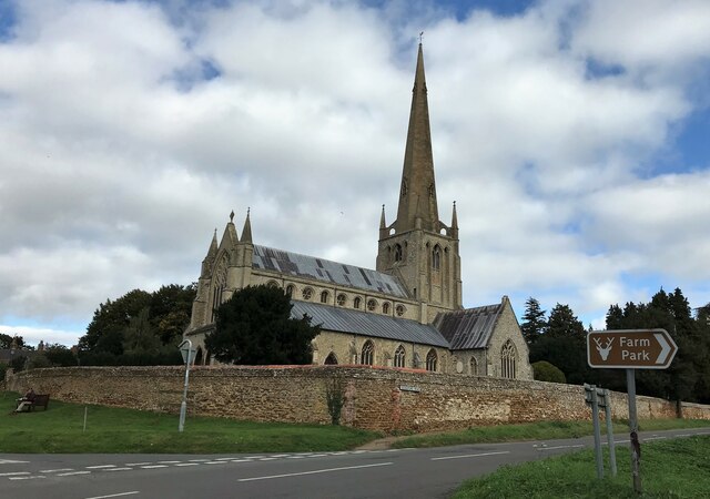
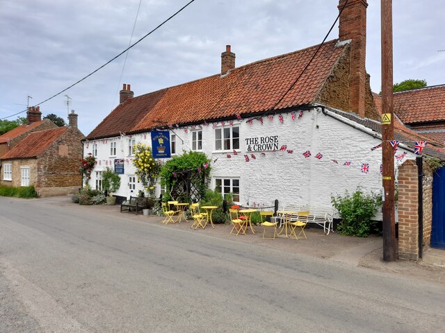
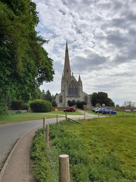
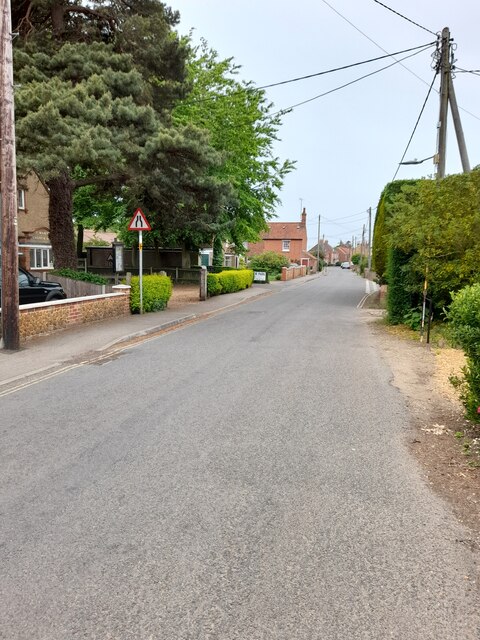
Long Belt Images
Images are sourced within 2km of 52.887013/0.50790426 or Grid Reference TF6835. Thanks to Geograph Open Source API. All images are credited.


Long Belt is located at Grid Ref: TF6835 (Lat: 52.887013, Lng: 0.50790426)
Administrative County: Norfolk
District: King's Lynn and West Norfolk
Police Authority: Norfolk
What 3 Words
///headboard.rewriting.flattery. Near Snettisham, Norfolk
Nearby Locations
Related Wikis
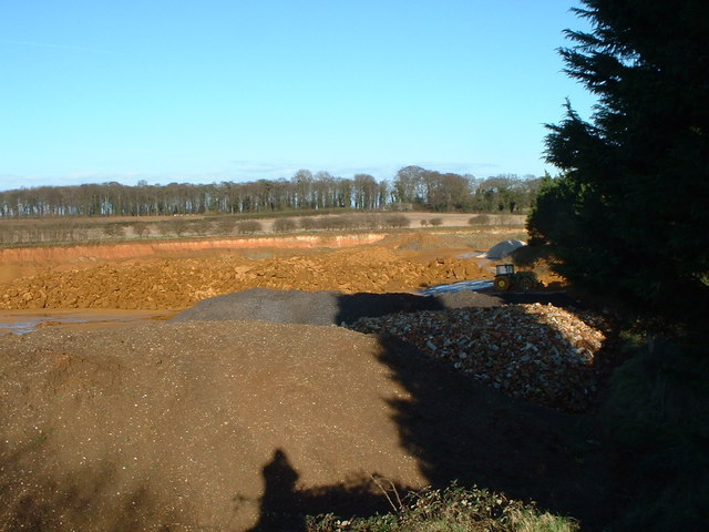
Snettisham Carstone Quarry
Snettisham Carstone Quarry is an 11-hectare (27-acre) biological Site of Special Scientific Interest north of King's Lynn in Norfolk. It is in the Norfolk...

Snettisham Hoard
The Snettisham Hoard or Snettisham Treasure is a series of discoveries of Iron Age precious metal, found in the Snettisham area of the English county of...

Wild Ken Hill
Wild Ken Hill is a rewilding and regenerative agriculture project located in Norfolk, England, at the edge of The Wash. == History == The name Ken Hill...
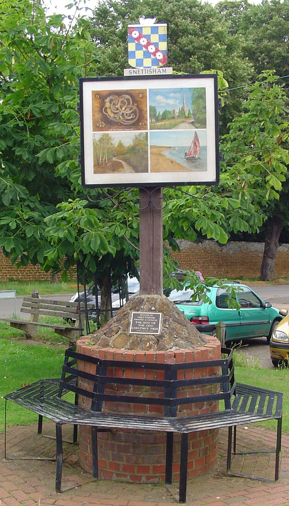
Snettisham
Snettisham is a village and civil parish in the English county of Norfolk. It is located near the west coast of Norfolk, some 5 miles (8.0 km) south of...
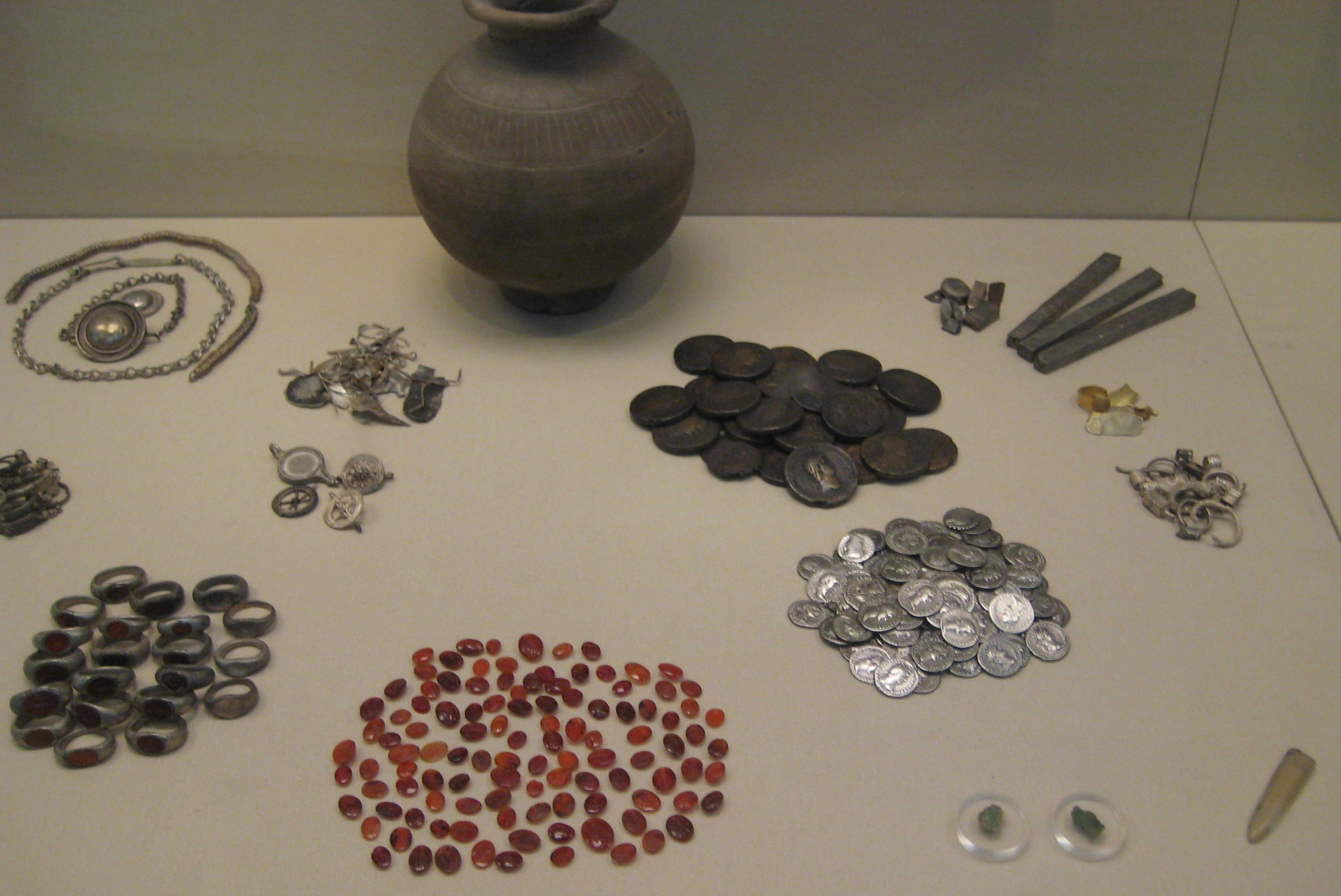
Snettisham Jeweller's Hoard
The Snettisham Jeweller's Hoard is a collection of Romano-British jewellery and raw materials, found during the construction of a house in the Norfolk...

Heacham Brick Pit
Heacham Brick Pit is a 0.8-hectare (2.0-acre) geological Site of Special Scientific Interest in Heacham, north of King's Lynn in Norfolk. It is a Geological...

Snettisham railway station
Snettisham was a railway station on the King's Lynn to Hunstanton line which served the village of Snettisham, a few miles north of King's Lynn in North...

Ingoldisthorpe
Ingoldisthorpe is a village and civil parish in the north-west of the English county of Norfolk. It is located approximately 9 miles (14 km) north-east...
Nearby Amenities
Located within 500m of 52.887013,0.50790426Have you been to Long Belt?
Leave your review of Long Belt below (or comments, questions and feedback).