Brickley Wood
Wood, Forest in Norfolk King's Lynn and West Norfolk
England
Brickley Wood
Brickley Wood is a picturesque woodland area located in Norfolk, England. Spanning over 100 acres, this lush wood is known for its diverse range of flora and fauna, making it a popular destination for nature enthusiasts and hikers alike.
Situated near the village of Brickley, the wood is characterized by its dense canopy of oak, beech, and birch trees, which create a serene and peaceful atmosphere. The forest floor is covered with a vibrant carpet of bluebells, wildflowers, and ferns, adding to the beauty of the surroundings.
The wood is home to a variety of wildlife, including deer, badgers, foxes, and a plethora of bird species. Nature lovers can often spot woodpeckers, owls, and buzzards among the treetops, making it an excellent spot for birdwatching.
There are several well-maintained trails that wind through the wood, allowing visitors to explore its natural wonders. These paths are suitable for all levels of fitness and are often used for walking, jogging, and cycling. Along the way, information boards provide interesting facts about the wood's history and ecology.
Brickley Wood is also a designated Site of Special Scientific Interest (SSSI), due to its diverse range of plant species and ancient woodland characteristics. The wood has been an important part of the local landscape for centuries and is protected to ensure its preservation for future generations to enjoy.
Overall, Brickley Wood offers a tranquil and enchanting experience for those seeking a connection with nature. With its stunning scenery, abundant wildlife, and well-maintained trails, it is a true gem in the Norfolk countryside.
If you have any feedback on the listing, please let us know in the comments section below.
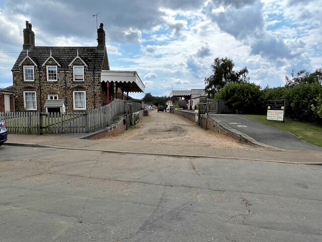
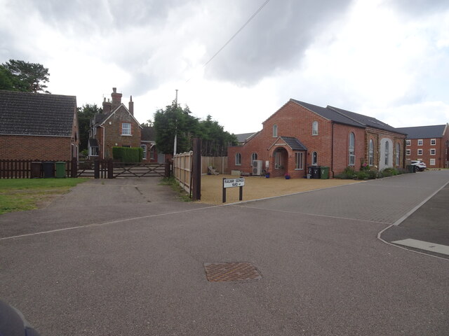
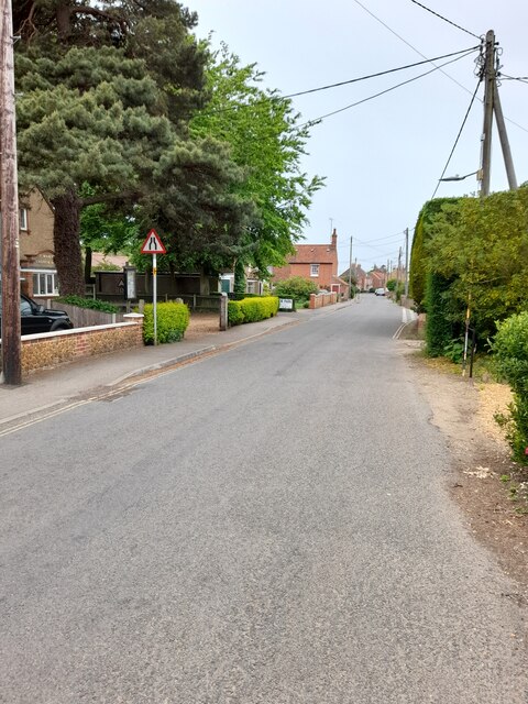
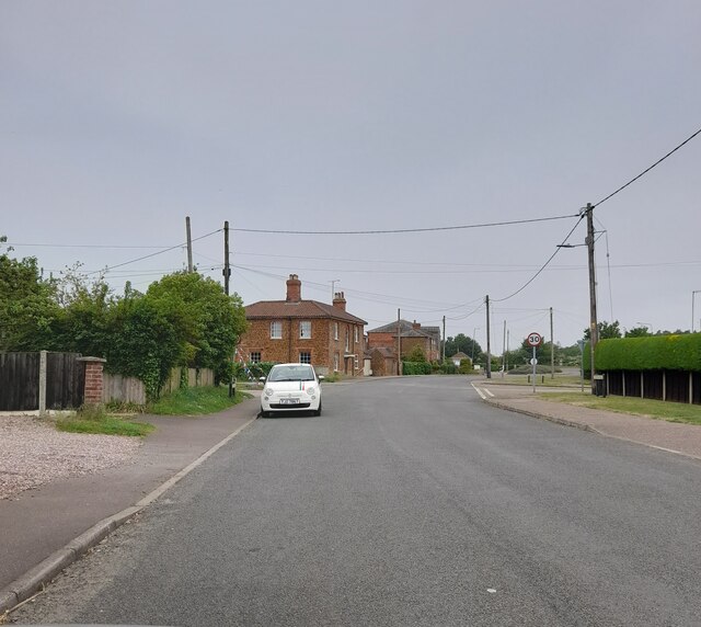
Brickley Wood Images
Images are sourced within 2km of 52.861576/0.50533728 or Grid Reference TF6832. Thanks to Geograph Open Source API. All images are credited.


Brickley Wood is located at Grid Ref: TF6832 (Lat: 52.861576, Lng: 0.50533728)
Administrative County: Norfolk
District: King's Lynn and West Norfolk
Police Authority: Norfolk
What 3 Words
///moderated.defenders.potions. Near Dersingham, Norfolk
Nearby Locations
Related Wikis

Ingoldisthorpe
Ingoldisthorpe is a village and civil parish in the north-west of the English county of Norfolk. It is located approximately 9 miles (14 km) north-east...

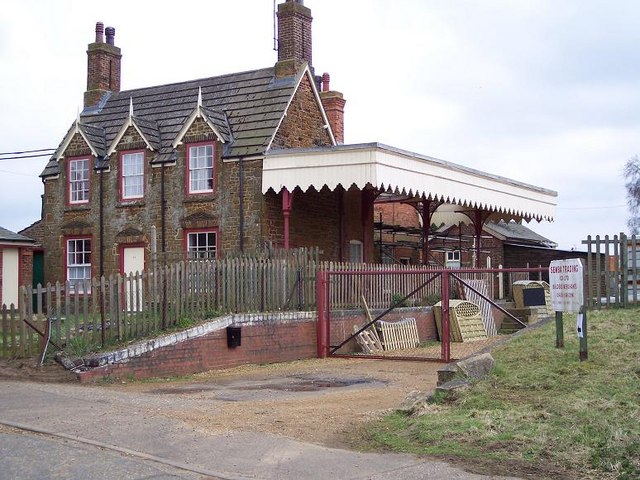
Snettisham railway station
Snettisham was a railway station on the King's Lynn to Hunstanton line which served the village of Snettisham, a few miles north of King's Lynn in North...
Dersingham railway station
Dersingham was a railway station on the King's Lynn to Hunstanton line which served the village of Dersingham, a few miles north of King's Lynn in North...
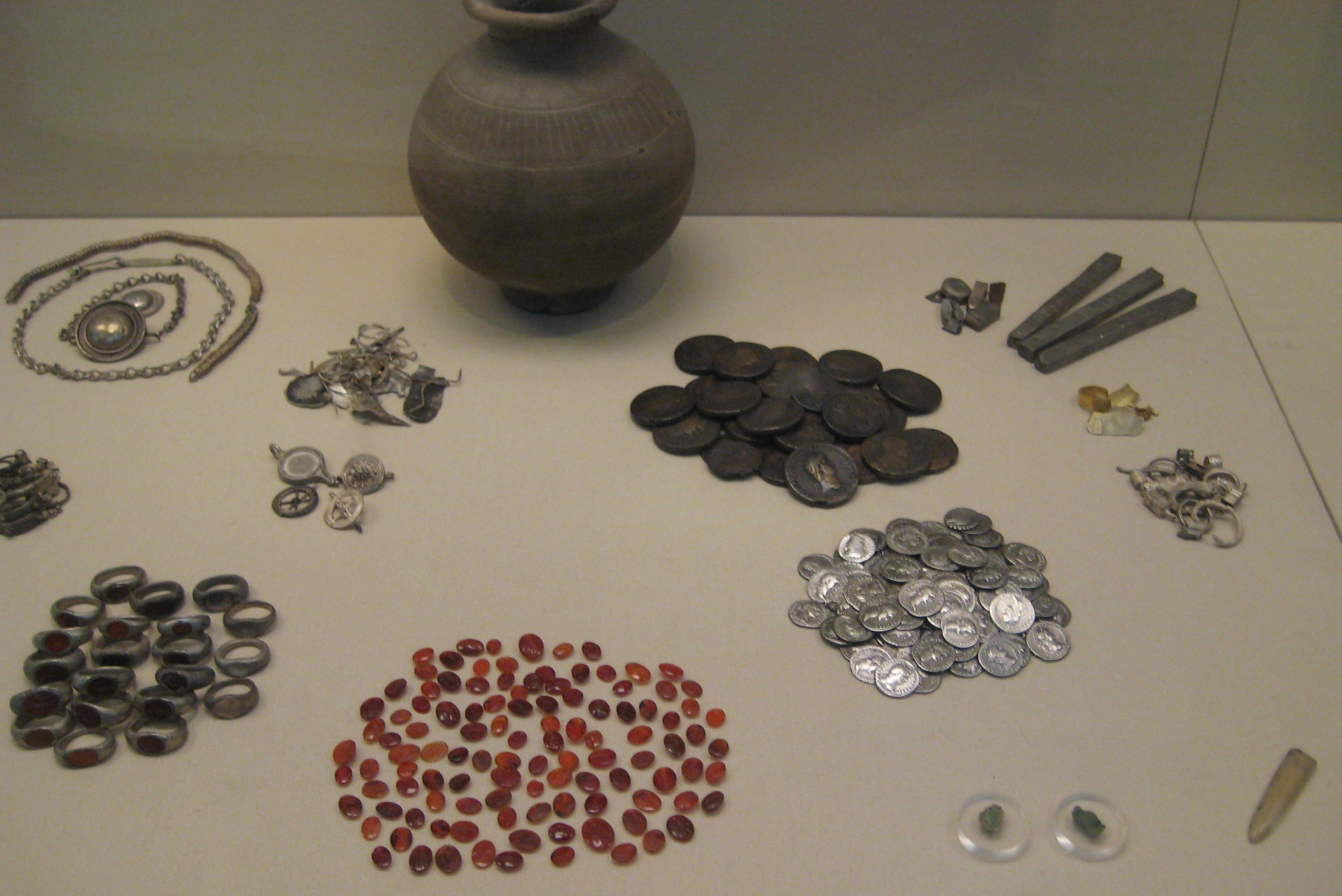
Snettisham Jeweller's Hoard
The Snettisham Jeweller's Hoard is a collection of Romano-British jewellery and raw materials, found during the construction of a house in the Norfolk...
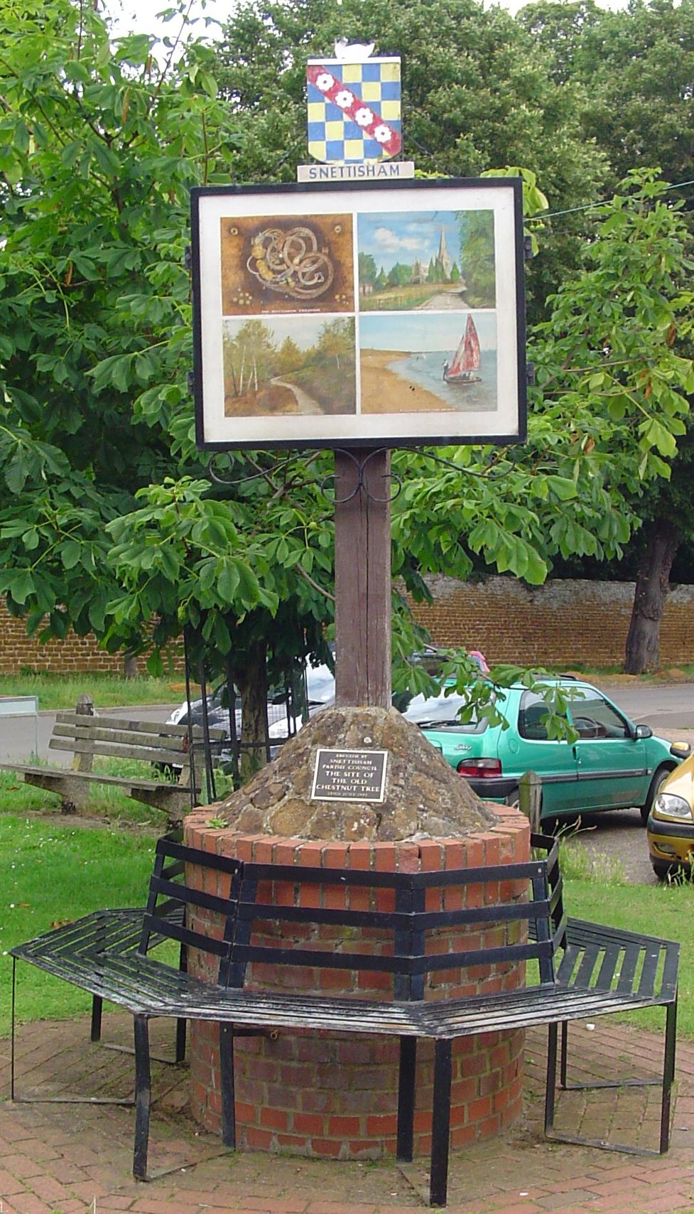
Snettisham
Snettisham is a village and civil parish in the English county of Norfolk. It is located near the west coast of Norfolk, some 5 miles (8.0 km) south of...
Dersingham
Dersingham is a village and civil parish in the English county of Norfolk. It is situated some 12 kilometres (7.5 mi) north of the town of King's Lynn...

Snettisham Hoard
The Snettisham Hoard or Snettisham Treasure is a series of discoveries of Iron Age precious metal, found in the Snettisham area of the English county of...
Snettisham Carstone Quarry
Snettisham Carstone Quarry is an 11-hectare (27-acre) biological Site of Special Scientific Interest north of King's Lynn in Norfolk. It is in the Norfolk...
Nearby Amenities
Located within 500m of 52.861576,0.50533728Have you been to Brickley Wood?
Leave your review of Brickley Wood below (or comments, questions and feedback).