Great Field Plantation

Wood, Forest in Suffolk West Suffolk

England

Great Field Plantation

Little Wratting: across the Stour Valley A long view from a barley-field corner near Little Wratting church, taken on the cloudy last morning of June. The tower of Barnardiston church, about a mile and a half away, shows against the skyline woodland to the right of centre (above the foreground poppies) - perhaps more apparent to the bespectacled eye than it is in this photograph.
Little Wratting: across the Stour Valley Credit: John Sutton

Located in Suffolk, Great Field Plantation is a sprawling wood and forest area that covers a significant expanse of land. With its tranquil and picturesque surroundings, it serves as a popular destination for nature enthusiasts, hikers, and those seeking solace in the midst of untouched beauty.

Great Field Plantation is characterized by its diverse range of flora and fauna, making it a true haven for wildlife. The plantation boasts an abundance of trees, including oak, beech, and ash, which contribute to the lush and verdant landscape. The dense forest cover provides ample shade and seclusion, creating a serene and peaceful atmosphere for visitors.

The plantation is also home to a variety of animals, from deer and rabbits to numerous bird species. This makes it an ideal spot for birdwatchers and wildlife photographers, who can capture the beauty of these creatures in their natural habitat.

The plantation offers well-maintained trails that wind through the woodland, allowing visitors to explore and appreciate its natural wonders. These paths are suitable for both leisurely strolls and more challenging hikes, catering to a range of fitness levels and interests.

For those interested in history, Great Field Plantation holds significance as a former hunting ground for local nobility. The area's rich cultural heritage can be observed through the remnants of old structures and the presence of ancient trees that have stood the test of time.

Overall, Great Field Plantation in Suffolk is a captivating destination that offers a true escape from the hustle and bustle of urban life. Its natural beauty, diverse wildlife, and historical charm make it a must-visit location for nature enthusiasts and history buffs alike.

If you have any feedback on the listing, please let us know in the comments section below.

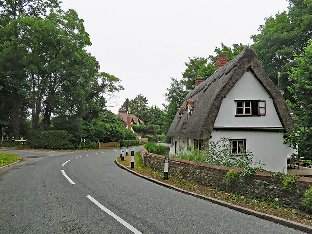
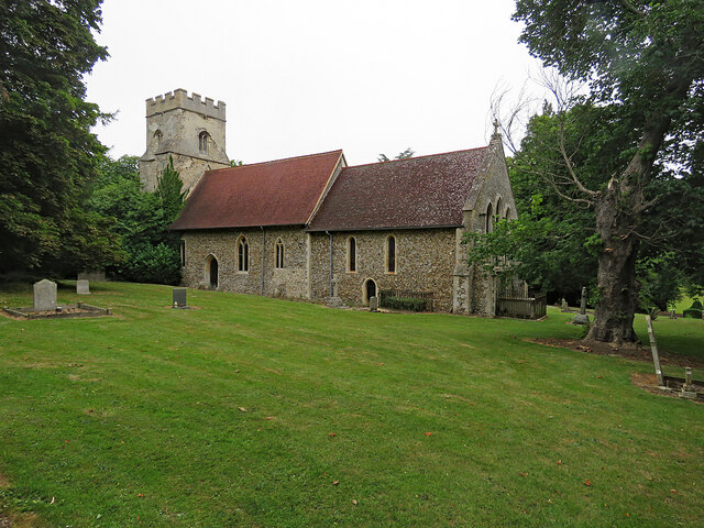
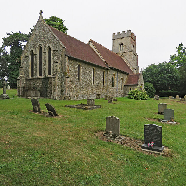
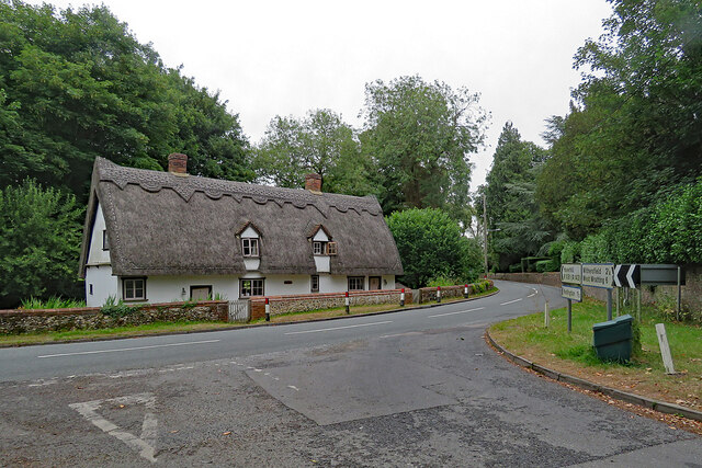
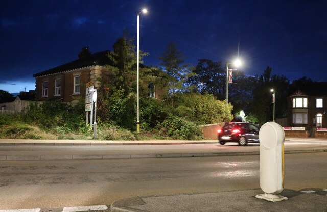
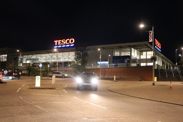
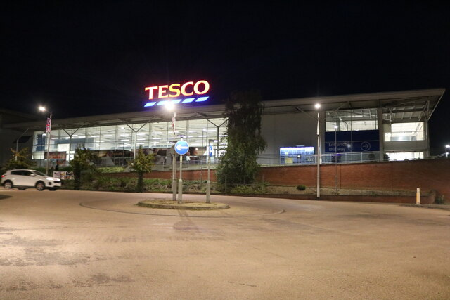
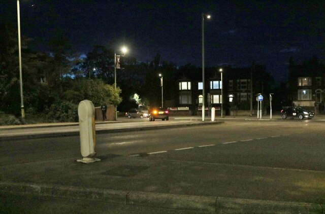
Great Field Plantation Images

Images are sourced within 2km of 52.089557/0.45600999 or Grid Reference TL6846. Thanks to Geograph Open Source API. All images are credited.

Little Wratting: across the Stour Valley A long view from a barley-field corner near Little Wratting church, taken on the cloudy last morning of June. The tower of Barnardiston church, about a mile and a half away, shows against the skyline woodland to the right of centre (above the foreground poppies) - perhaps more apparent to the bespectacled eye than it is in this photograph.
Little Wratting: across the Stour Valley
A long view from a barley-field corner near Little Wratting church, taken on the cloudy last morning of June. The tower of Barnardiston church, about a mile and a half away, shows against the skyline woodland to the right of centre (above the foreground poppies) - perhaps more apparent to the bespectacled eye than it is in this photograph.
Little Wratting: Holy Trinity - from the west "Septaria and flint. Nave and chancel and Victorian bell-turret with short shingled spire. The nave is probably late Anglo-Saxon" (Nikolaus Pevsner). The picture was taken on a cloudy summer morning.
Little Wratting: Holy Trinity - from the west
"Septaria and flint. Nave and chancel and Victorian bell-turret with short shingled spire. The nave is probably late Anglo-Saxon" (Nikolaus Pevsner). The picture was taken on a cloudy summer morning.
Little Wratting: Holy Trinity - south side "Septaria and flint. Nave and chancel and Victorian bell-turret with short shingled spire. The nave is probably late Anglo-Saxon" (Nikolaus Pevsner). Colours were muted on a cloudy summer morning.
Little Wratting: Holy Trinity - south side
"Septaria and flint. Nave and chancel and Victorian bell-turret with short shingled spire. The nave is probably late Anglo-Saxon" (Nikolaus Pevsner). Colours were muted on a cloudy summer morning.
Great Wratting: a bend in the B1061 The Grade II listing text for the house on the right reads "A C17-C18 timber-framed and plastered house. One storey and attics. Casement windows. Roofs thatched, with two gabled dormers (tiled)". The picture was taken on a cloudy summer morning.
Great Wratting: a bend in the B1061
The Grade II listing text for the house on the right reads "A C17-C18 timber-framed and plastered house. One storey and attics. Casement windows. Roofs thatched, with two gabled dormers (tiled)". The picture was taken on a cloudy summer morning.
Great Wratting: St Mary - south side Nikolaus Pevsner commended a "good EE chancel with lancet windows", but in the Shell Guide Norman Scarfe denounced the "disastrous restoration" of 1887, funded by the founder of W H Smith. The setting is pleasing, on the side of the valley of a tributary of the Stour. Colours were muted on a cloudy summer morning.
Great Wratting: St Mary - south side
Nikolaus Pevsner commended a "good EE chancel with lancet windows", but in the Shell Guide Norman Scarfe denounced the "disastrous restoration" of 1887, funded by the founder of W H Smith. The setting is pleasing, on the side of the valley of a tributary of the Stour. Colours were muted on a cloudy summer morning.
Great Wratting: St Mary Nikolaus Pevsner commended a "good EE chancel with lancet windows", but in the Shell Guide Norman Scarfe denounced the "disastrous restoration" of 1887, funded by the founder of W H Smith. This side of the churchyard slopes steeply down to the road. Colours were muted on a cloudy summer morning.
Great Wratting: St Mary
Nikolaus Pevsner commended a "good EE chancel with lancet windows", but in the Shell Guide Norman Scarfe denounced the "disastrous restoration" of 1887, funded by the founder of W H Smith. This side of the churchyard slopes steeply down to the road. Colours were muted on a cloudy summer morning.
Great Wratting: The Shelter The Grade II listing text for The Shelter reads "A C17-C18 timber-framed and plastered house. One storey and attics. Casement windows. Roofs thatched, with two gabled dormers (tiled)". The picture was taken on a cloudy summer morning.
Great Wratting: The Shelter
The Grade II listing text for The Shelter reads "A C17-C18 timber-framed and plastered house. One storey and attics. Casement windows. Roofs thatched, with two gabled dormers (tiled)". The picture was taken on a cloudy summer morning.
Tesco cafe, Haverhill On the side of the supermarket.
Tesco cafe, Haverhill
On the side of the supermarket.
Lord's Croft Lane, Haverhill
Tesco supermarket, Haverhill
Lord's Croft Lane, Haverhill
Market Hill and parish church, Haverhill, Suffolk Dedicated to St Mary; the Drabbet Smock pub on the right.
Market Hill and parish church, Haverhill, Suffolk
Dedicated to St Mary; the Drabbet Smock pub on the right.
Queen Street, Haverhill, Suffolk Quiet for a Saturday afternoon, but England were playing Austria (1-0).
Queen Street, Haverhill, Suffolk
Quiet for a Saturday afternoon, but England were playing Austria (1-0).
The recreation ground and bandstand, Haverhill, Suffolk The rec was presented to the community of Haverhill by the Gurteen family at the end of the 19th century; the Millennium Bandstand was opened in June 1999 <span class="nowrap"><a title="http://www.haverhill-uk.com/photo/rec.shtml" rel="nofollow ugc noopener" href="http://www.haverhill-uk.com/photo/rec.shtml">Link</a><img style="margin-left:2px;" alt="External link" title="External link - shift click to open in new window" src="https://s1.geograph.org.uk/img/external.png" width="10" height="10"/></span>.
The recreation ground and bandstand, Haverhill, Suffolk
The rec was presented to the community of Haverhill by the Gurteen family at the end of the 19th century; the Millennium Bandstand was opened in June 1999 LinkExternal link.
The recreation ground, Haverhill, Suffolk
Holy Trinity church, Little Wratting, Suffolk The nave of this church is said to be Anglo-Saxon but the chancel is of a later date. The pretty bell-turret and shingled spire is Victorian.
Holy Trinity church, Little Wratting, Suffolk
The nave of this church is said to be Anglo-Saxon but the chancel is of a later date. The pretty bell-turret and shingled spire is Victorian.
Thatched cottage, Great Wratting, Suffolk This pretty cottage stands close to the parish church on the B1061 road.
Thatched cottage, Great Wratting, Suffolk
This pretty cottage stands close to the parish church on the B1061 road.
Show me another place!

Great Field Plantation is located at Grid Ref: TL6846 (Lat: 52.089557, Lng: 0.45600999)

Administrative County: Suffolk

District: West Suffolk

Police Authority: Suffolk

What 3 Words

///haggling.luring.tilts. Near Haverhill, Suffolk

Nearby Locations

Great Field Plantation

Related Wikis

Haverhill Rovers F.C.

Haverhill Rovers Football Club are a football club based in Haverhill, Suffolk, England. They are currently members of the Eastern Counties League Division...

Samuel Ward Academy

Samuel Ward Academy (formerly Samuel Ward Arts and Technology College) is a coeducational secondary school and sixth form located in Haverhill in the English...

Haverhill Borough F.C.

Haverhill Borough Football Club is a football club based in Haverhill in England. They are currently members of the Eastern Counties League Division One...

Little Wratting

Little Wratting is a small village and civil parish in the West Suffolk district of Suffolk in eastern England. Located on the north-eastern edge of Haverhill...

Haverhill Railway Walks

Haverhill Railway Walks is a 14.1 hectare Local Nature Reserve in Haverhill in Suffolk. It is owned and managed by West Suffolk Council.This is a footpath...

Haverhill railway station (England)

Haverhill railway station was a station in Haverhill, Suffolk, on the Stour Valley Railway, which opened in 1865 and closed in 1967. It was sometimes known...

Corn Exchange, Haverhill

The Corn Exchange is a commercial building in Withersfield Road in Haverhill, Suffolk, England. The structure, which is currently vacant and deteriorating...
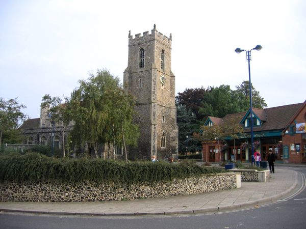
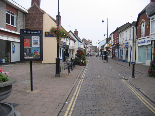
Haverhill, Suffolk

Haverhill ( HAY-vər-hil, HAYV-ril) is a market town and civil parish in the county of Suffolk, England, next to the borders of Essex and Cambridgeshire...

Nearby Amenities

Located within 500m of 52.089557,0.45600999
Power: pole
Lat/Long: 52.0884839/0.4583198
Power: pole
Lat/Long: 52.08767/0.4601139
Power: pole
Lat/Long: 52.0860266/0.4601061
Power: pole
Lat/Long: 52.0873401/0.4572389
Power: pole
Lat/Long: 52.0907639/0.4605043
Power: pole
Lat/Long: 52.0857365/0.4549348
Power: pole
Lat/Long: 52.0867551/0.4563859
Power: pole
Lat/Long: 52.0896013/0.459398
Power: pole
Lat/Long: 52.0917321/0.461608
Power: pole
Lat/Long: 52.089008/0.4601222
Power: pole
Lat/Long: 52.0884133/0.4601185
Power: pole
Lat/Long: 52.086854/0.4601088
Power: pole
Lat/Long: 52.0891024/0.4600304
Power: pole
Lat/Long: 52.0937195/0.4556523
Power: pole
Lat/Long: 52.0931708/0.4561391
Power: pole
Lat/Long: 52.092519/0.456862
Power: pole
Lat/Long: 52.0920617/0.4572093
Power: pole
Lat/Long: 52.0915476/0.4577082
Power: pole
Lat/Long: 52.09104/0.4582983
Power: pole
Lat/Long: 52.0903446/0.4588079
Power: pole
Lat/Long: 52.0896795/0.4595594
Turning Circle
Lat/Long: 52.086758/0.4502932
Crossing
Lat/Long: 52.0933467/0.4535019
The data included in this document is from www.openstreetmap.org. The data is made available under ODbL.

Have you been to Great Field Plantation?

Leave your review of Great Field Plantation below (or comments, questions and feedback).