Blackdike Plantation
Wood, Forest in Norfolk King's Lynn and West Norfolk
England
Blackdike Plantation

Blackdike Plantation, located in Norfolk, is a picturesque wood and forest area renowned for its natural beauty and rich biodiversity. Spanning over a vast expanse of land, it provides a sanctuary for a variety of plant and animal species.
The plantation is characterized by its dense woodland, consisting of a mix of deciduous and coniferous trees. Towering oak, beech, and pine trees dominate the landscape, forming a lush canopy that filters sunlight and creates a serene and tranquil ambiance. The forest floor is covered in a thick layer of moss, ferns, and wildflowers, adding to its enchanting allure.
Visitors to Blackdike Plantation can enjoy a range of activities. There are numerous well-maintained walking trails that meander through the woods, allowing visitors to explore and appreciate the natural environment at their own pace. These trails offer glimpses of wildlife, including deer, squirrels, and a variety of birds, making it a haven for nature enthusiasts and birdwatchers.
In addition to its recreational offerings, Blackdike Plantation also plays an essential role in conservation efforts. The diverse ecosystem supports a wide array of plant species, some of which are rare and protected. Efforts are made to preserve and maintain the plantation's biodiversity, ensuring its long-term sustainability.
Overall, Blackdike Plantation is a haven of tranquility and natural beauty, offering visitors an opportunity to immerse themselves in a thriving woodland ecosystem. Its lush greenery, wildlife sightings, and peaceful atmosphere make it a must-visit destination for nature lovers and those seeking respite from the hustle and bustle of everyday life.
If you have any feedback on the listing, please let us know in the comments section below.
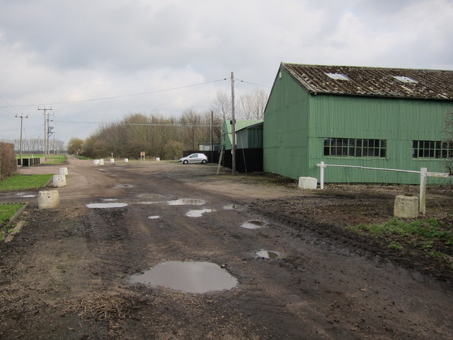
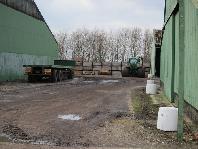
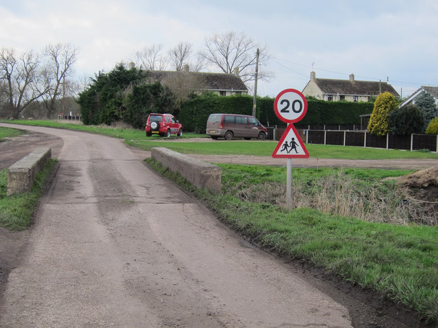
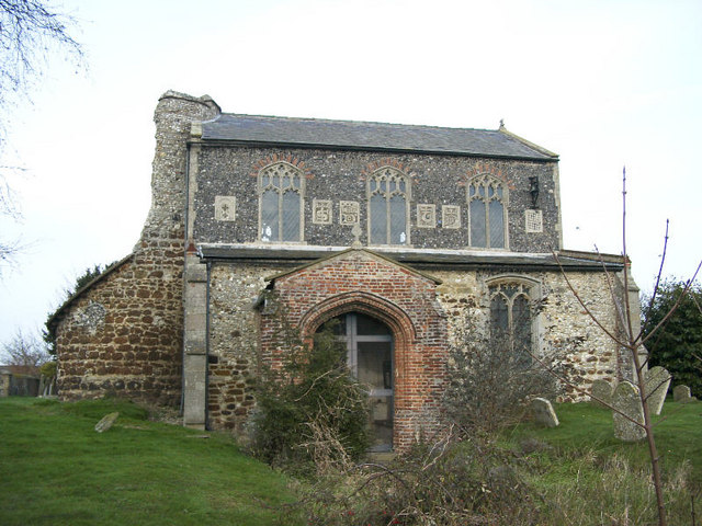
Blackdike Plantation Images
Images are sourced within 2km of 52.464975/0.46951395 or Grid Reference TL6788. Thanks to Geograph Open Source API. All images are credited.


Blackdike Plantation is located at Grid Ref: TL6788 (Lat: 52.464975, Lng: 0.46951395)
Administrative County: Norfolk
District: King's Lynn and West Norfolk
Police Authority: Norfolk
What 3 Words
///legend.trio.crescendo. Near Feltwell, Norfolk
Nearby Locations
Related Wikis

Stallode Wash, Lakenheath
Stallode Wash, Lakenheath is a 34.1-hectare (84-acre) biological Site of Special Scientific Interest north-west of Lakenheath in Suffolk.This is grassland...

Lakenheath Fen RSPB reserve
Lakenheath Fen RSPB reserve is located on the Norfolk/Suffolk border in England, between Lakenheath and Hockwold cum Wilton adjacent to Lakenheath railway...

RAF Feltwell
Royal Air Force Feltwell or more simply RAF Feltwell is a Royal Air Force station in Norfolk, East Anglia that is used by the United States Air Forces...
Feltwell
Feltwell is a village and civil parish in the English county of Norfolk. The village is located 11 miles (18 km) north-west of Thetford and 34 miles (55...
St Nicholas Church, Feltwell
St Nicholas Church is a redundant Anglican church in the village of Feltwell, Norfolk, England. It is recorded in the National Heritage List for England...

St Peter's Church, Hockwold
St Peter's Church is a redundant Anglican church in the village of Hockwold cum Wilton in Norfolk, England. It is recorded in the National Heritage List...
Lakenheath railway station
Lakenheath railway station is on the Breckland Line in the east of England, serving the village of Lakenheath, Suffolk. The line runs between Cambridge...

Hockwold cum Wilton
Hockwold cum Wilton ("Hock/mallow wood and willow-tree farm/settlement") is 10 miles west of Thetford, Norfolk, England and is in the borough of King's...
Have you been to Blackdike Plantation?
Leave your review of Blackdike Plantation below (or comments, questions and feedback).