Frogpits Wood
Wood, Forest in Norfolk King's Lynn and West Norfolk
England
Frogpits Wood
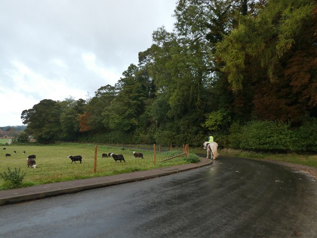
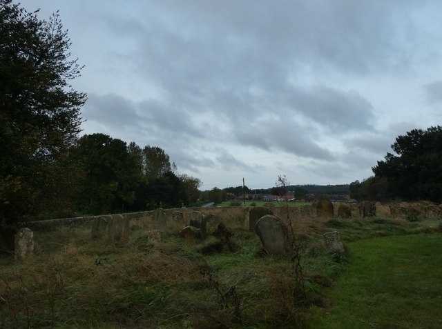
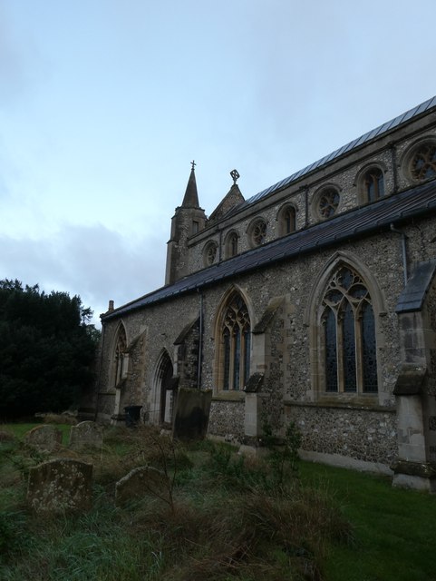
Frogpits Wood, located in Norfolk, is a picturesque woodland area renowned for its natural beauty and biodiversity. This enchanting forest covers an area of approximately 100 acres and is a haven for wildlife and nature enthusiasts alike.
The wood is characterized by its dense canopy of mature broadleaf trees, predominantly consisting of oak, ash, beech, and birch species. The forest floor is adorned with a rich carpet of bluebells, wild garlic, and other native wildflowers, creating a vibrant and colorful landscape during the spring and summer months.
Frogpits Wood is home to a diverse range of wildlife, including various bird species such as woodpeckers, owls, and thrushes. The wood's tranquil atmosphere also attracts small mammals like foxes, rabbits, and badgers. Additionally, the forest provides a habitat for numerous insect species, including butterflies and beetles.
The wood offers several walking trails, allowing visitors to explore its natural wonders and enjoy the serenity of the surroundings. These trails wind through the forest, offering glimpses of picturesque ponds and streams, which further enhance the wood's charm.
Frogpits Wood is an important conservation area, managed by local authorities to preserve its ecological significance. Efforts are made to maintain the delicate balance of the woodland ecosystem and protect its unique flora and fauna.
Overall, Frogpits Wood is a delightful destination for nature lovers and those seeking tranquility amidst a beautiful natural setting. Its stunning landscapes, diverse wildlife, and well-maintained trails make it a must-visit location for anyone visiting Norfolk.
If you have any feedback on the listing, please let us know in the comments section below.
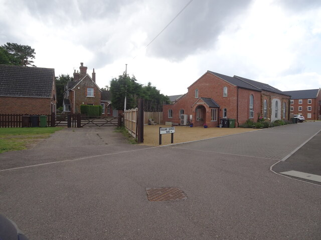
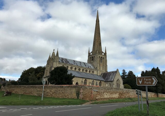
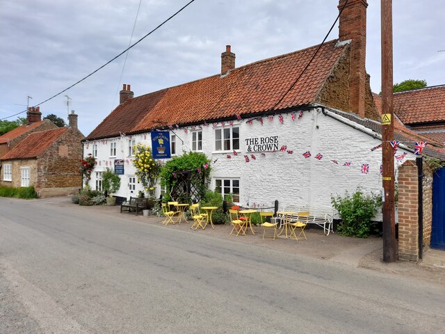
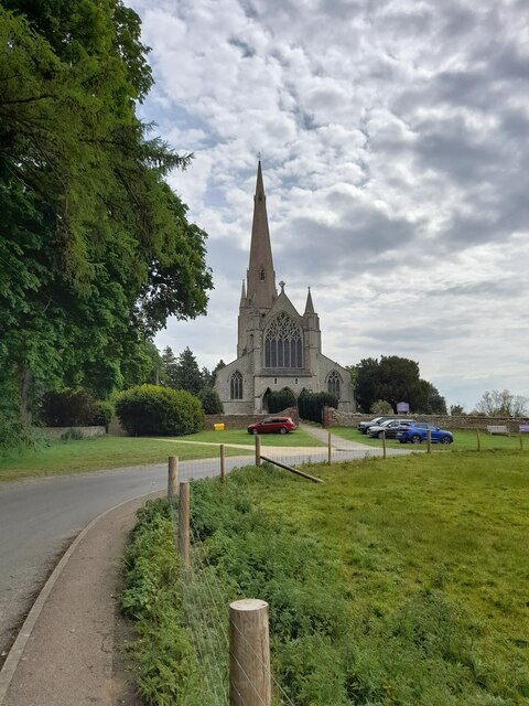
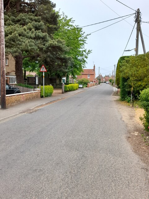
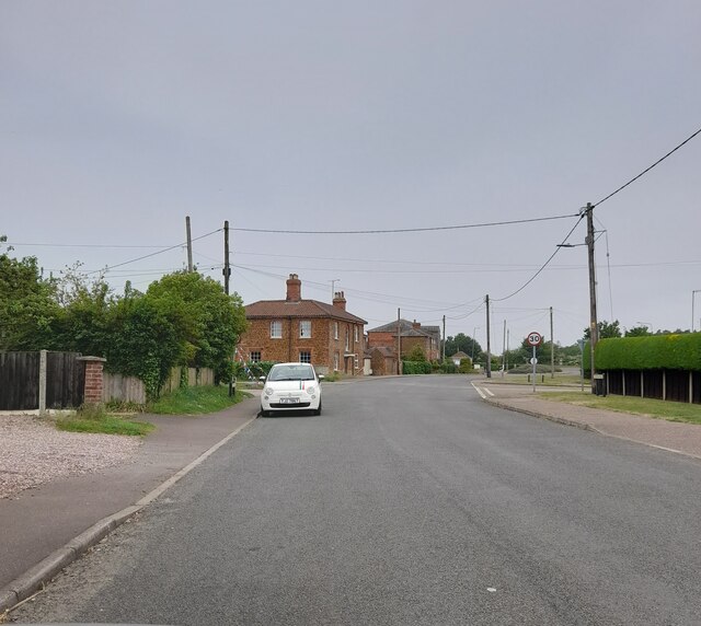
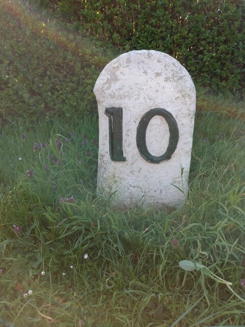
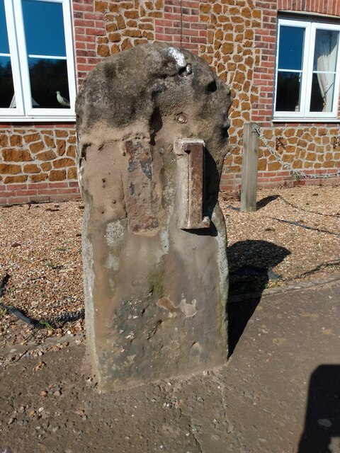
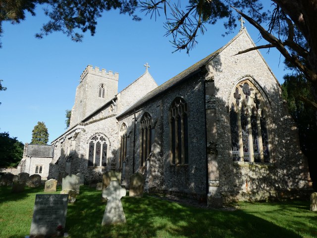
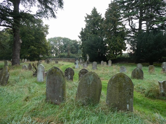
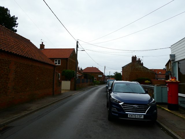
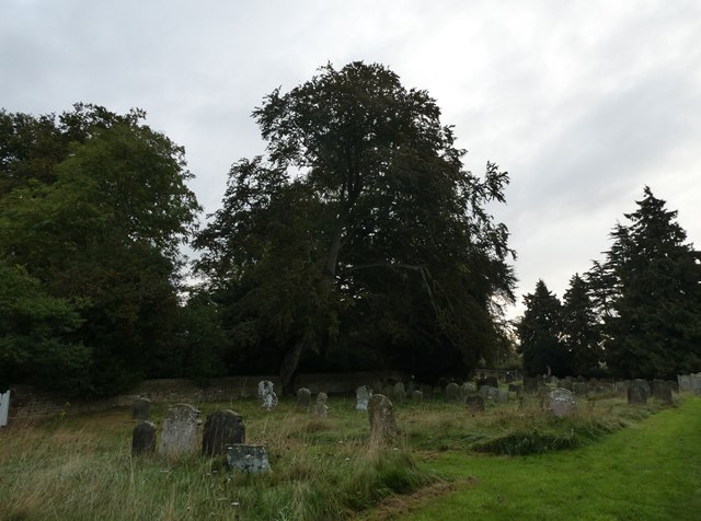
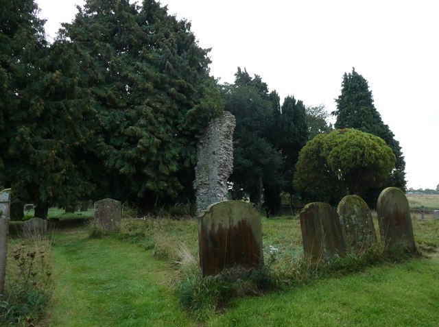
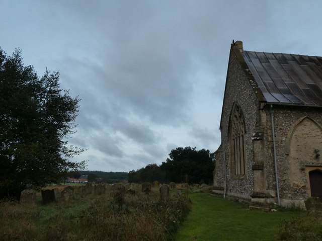
Frogpits Wood Images
Images are sourced within 2km of 52.878847/0.49262965 or Grid Reference TF6734. Thanks to Geograph Open Source API. All images are credited.
Frogpits Wood is located at Grid Ref: TF6734 (Lat: 52.878847, Lng: 0.49262965)
Administrative County: Norfolk
District: King's Lynn and West Norfolk
Police Authority: Norfolk
What 3 Words
///brings.afford.overused. Near Snettisham, Norfolk
Nearby Locations
Related Wikis
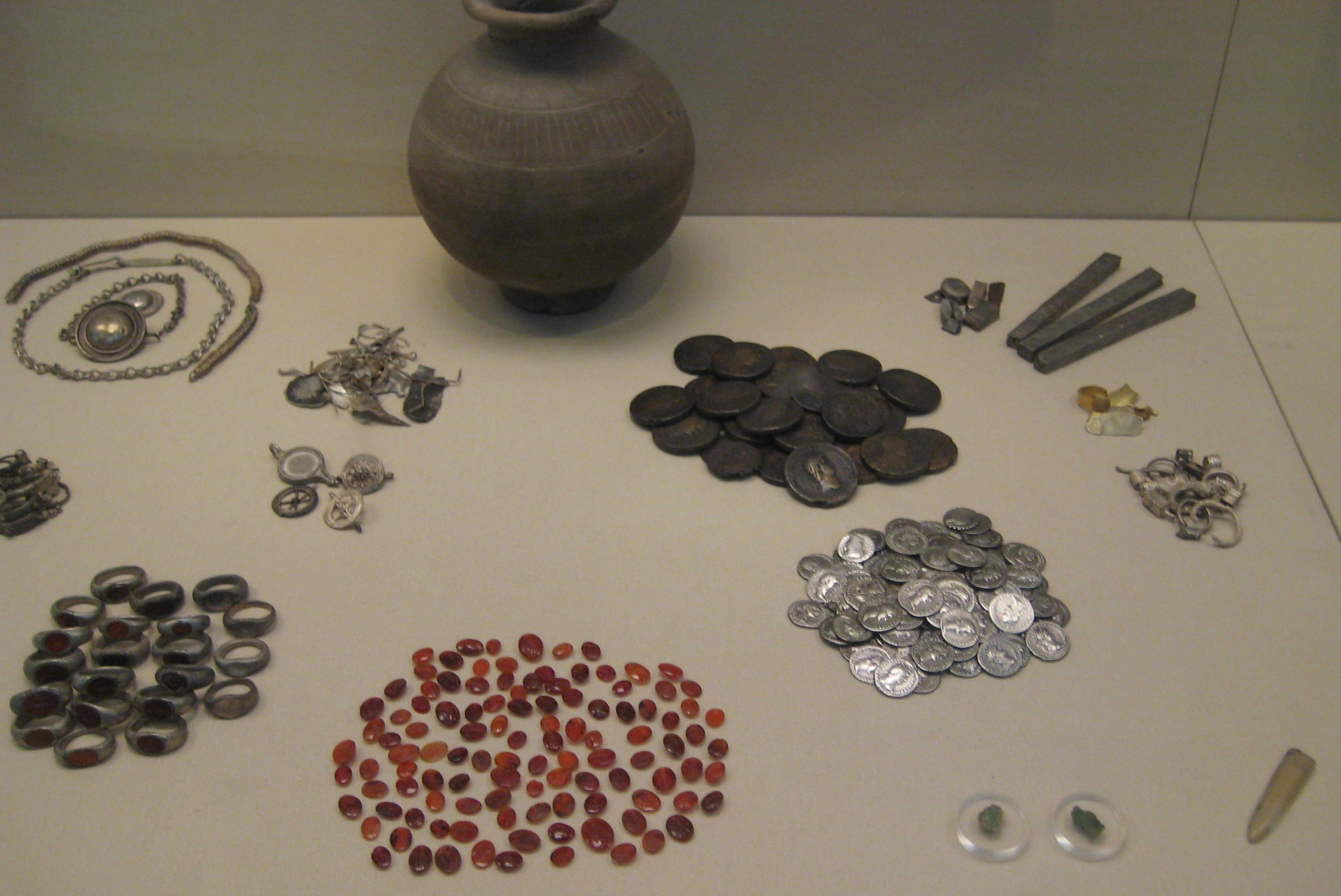
Snettisham Jeweller's Hoard
The Snettisham Jeweller's Hoard is a collection of Romano-British jewellery and raw materials, found during the construction of a house in the Norfolk...
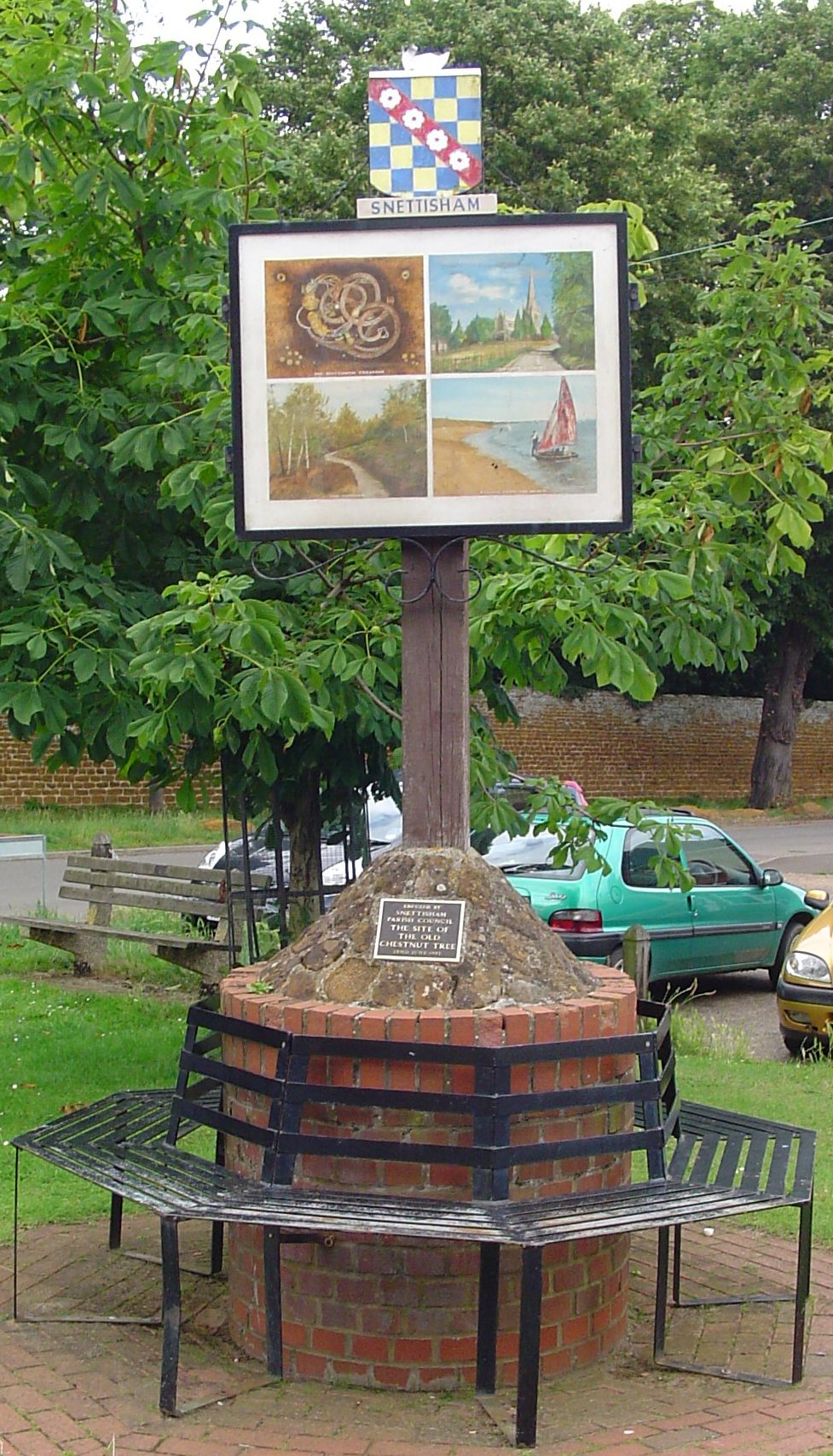
Snettisham
Snettisham is a village and civil parish in the English county of Norfolk. It is located near the west coast of Norfolk, some 5 miles (8.0 km) south of...

Snettisham railway station
Snettisham was a railway station on the King's Lynn to Hunstanton line which served the village of Snettisham, a few miles north of King's Lynn in North...
Snettisham Carstone Quarry
Snettisham Carstone Quarry is an 11-hectare (27-acre) biological Site of Special Scientific Interest north of King's Lynn in Norfolk. It is in the Norfolk...

Snettisham Hoard
The Snettisham Hoard or Snettisham Treasure is a series of discoveries of Iron Age precious metal, found in the Snettisham area of the English county of...

Wild Ken Hill
Wild Ken Hill is a rewilding and regenerative agriculture project located in Norfolk, England, at the edge of The Wash. == History == The name Ken Hill...

Ingoldisthorpe
Ingoldisthorpe is a village and civil parish in the north-west of the English county of Norfolk. It is located approximately 9 miles (14 km) north-east...

Heacham Brick Pit
Heacham Brick Pit is a 0.8-hectare (2.0-acre) geological Site of Special Scientific Interest in Heacham, north of King's Lynn in Norfolk. It is a Geological...
Nearby Amenities
Located within 500m of 52.878847,0.49262965Have you been to Frogpits Wood?
Leave your review of Frogpits Wood below (or comments, questions and feedback).