Folly Hang

Wood, Forest in Norfolk King's Lynn and West Norfolk

England

Folly Hang

The last post - a railway relic At the start of this public right of way from the Dersingham bypass stands this single gate post and a few strands of wire. This is all that remains of the King's Lynn to Hunstanton railway in this immediate area
The last post - a railway relic Credit: Richard Humphrey

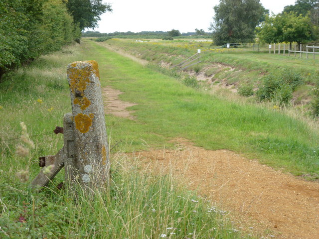
Folly Hang, located in Norfolk, England, is a picturesque wood or forest that offers visitors a serene and tranquil experience. Covering an area of approximately 100 acres, this woodland is well-known for its natural beauty and diverse range of flora and fauna.

The name "Folly Hang" is derived from the word "folly," which means a whimsical or extravagant structure, and "hang," referring to a steep slope or hillside. This name perfectly captures the essence of the woodland, as it is characterized by its rolling hills and steep slopes, creating a visually stunning landscape.

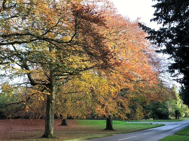
The woodland is predominantly covered in a mix of deciduous and coniferous trees, including oak, beech, pine, and spruce. This variety of trees provides a rich and vibrant canopy, offering shade and shelter to the numerous species of wildlife that call Folly Hang home.

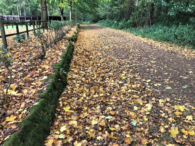
Visitors to Folly Hang can explore a network of well-maintained footpaths and trails that wind through the woodland, allowing them to immerse themselves in the natural surroundings. These paths offer stunning views of the surrounding countryside and provide opportunities for nature enthusiasts to spot a variety of wildlife, such as deer, squirrels, and a wide array of bird species.

Folly Hang is a popular destination for outdoor activities such as hiking, birdwatching, and photography. The wood's peaceful atmosphere and scenic vistas make it an ideal place for relaxation and rejuvenation, away from the hustle and bustle of city life.

In conclusion, Folly Hang in Norfolk, England, is a beautiful woodland that offers visitors a chance to connect with nature and experience the tranquility of the countryside.

If you have any feedback on the listing, please let us know in the comments section below.

Folly Hang Images

Images are sourced within 2km of 52.826988/0.48934747 or Grid Reference TF6728. Thanks to Geograph Open Source API. All images are credited.

The last post - a railway relic At the start of this public right of way from the Dersingham bypass stands this single gate post and a few strands of wire. This is all that remains of the King's Lynn to Hunstanton railway in this immediate area
The last post - a railway relic
At the start of this public right of way from the Dersingham bypass stands this single gate post and a few strands of wire. This is all that remains of the King's Lynn to Hunstanton railway in this immediate area
A149 Dersingham by-pass looking north
Flush Bracket G1257 2 Manor Rd Dersingham
Snettisham picnic site The picnic site located on the A149 as it bypasses Ingoldisthorpe and heads towards Snettisham.
Snettisham picnic site
The picnic site located on the A149 as it bypasses Ingoldisthorpe and heads towards Snettisham.
Picnic Site Looking south east across picnic site
Picnic Site
Looking south east across picnic site
Drain near Dersingham The banks of this narrow drain are of sand, which appears to have been partly washed away. Kingcups (marsh marigolds) are growing at the side of the ditch (for close-up see <a href="https://www.geograph.org.uk/photo/778299">TF6730 : Kingcups near Dersingham</a>). A footpath to Dersingham follows the southern bank of this drain.
Drain near Dersingham
The banks of this narrow drain are of sand, which appears to have been partly washed away. Kingcups (marsh marigolds) are growing at the side of the ditch (for close-up see TF6730 : Kingcups near Dersingham). A footpath to Dersingham follows the southern bank of this drain.
Kingcups near Dersingham These kingcups - Calthra palustris - (also known as marsh marigolds) are growing at the side of a narrow ditch. See <a href="https://www.geograph.org.uk/photo/778281">TF6730 : Drain near Dersingham</a> for their location.
Kingcups near Dersingham
These kingcups - Calthra palustris - (also known as marsh marigolds) are growing at the side of a narrow ditch. See TF6730 : Drain near Dersingham for their location.
Picnic area Dersingham Off the western side of the A149 bypassing the town
Picnic area Dersingham
Off the western side of the A149 bypassing the town
Picnic area on the Dersingham by-pass
Autumn colours near the walled garden, Sandringham
Footpath in the woods near Sandringham
Queen Elizabeth II and Prince Philip at Sandringham, Christmas Day 1988 Walking from the traditional morning service at St Mary Magdalene Church back to Sandringham House. Prince William and Zara Phillips following.
Queen Elizabeth II and Prince Philip at Sandringham, Christmas Day 1988
Walking from the traditional morning service at St Mary Magdalene Church back to Sandringham House. Prince William and Zara Phillips following.
Queen Elizabeth II and members of the Royal Family at Sandringham, Christmas Day 1988 Walking from the traditional morning service at St Mary Magdalene Church back to Sandringham House.
Prince William and Zara Phillips near the Queen. Also in the photo are Prince Charles, Princess Anne, Sarah Ferguson, Prince Andrew, Princess Diana, Captain Mark Phillips and Prince Edward.
Queen Elizabeth II and members of the Royal Family at Sandringham, Christmas Day 1988
Walking from the traditional morning service at St Mary Magdalene Church back to Sandringham House. Prince William and Zara Phillips near the Queen. Also in the photo are Prince Charles, Princess Anne, Sarah Ferguson, Prince Andrew, Princess Diana, Captain Mark Phillips and Prince Edward.
Flowers for Queen Elizabeth II at Sandringham Thousands of people visited the Sandringham Estate following the death of Queen Elizabeth II, many leaving floral tributes at the Norwich Gates
Flowers for Queen Elizabeth II at Sandringham
Thousands of people visited the Sandringham Estate following the death of Queen Elizabeth II, many leaving floral tributes at the Norwich Gates
A sea of flowers for Queen Elizabeth II at Sandringham Thousands of people visited the Sandringham Estate following the death of Queen Elizabeth II, many leaving floral tributes at the Norwich Gates
A sea of flowers for Queen Elizabeth II at Sandringham
Thousands of people visited the Sandringham Estate following the death of Queen Elizabeth II, many leaving floral tributes at the Norwich Gates
Flowers for our late Queen Elizabeth II at Sandringham Thousands of people visited the Sandringham Estate following the death of Queen Elizabeth II, many leaving floral tributes at the Norwich Gates
Flowers for our late Queen Elizabeth II at Sandringham
Thousands of people visited the Sandringham Estate following the death of Queen Elizabeth II, many leaving floral tributes at the Norwich Gates
Floral tributes for Queen Elizabeth II at the Norwich gates, Sandringham Thousands of people visited the Sandringham Estate following the death of Queen Elizabeth II, many leaving floral tributes at the Norwich Gates
Floral tributes for Queen Elizabeth II at the Norwich gates, Sandringham
Thousands of people visited the Sandringham Estate following the death of Queen Elizabeth II, many leaving floral tributes at the Norwich Gates
Flowers for Queen Elizabeth II at the Norwich Gates, Sandringham Thousands of people visited the Sandringham Estate following the death of Queen Elizabeth II, many leaving floral tributes at the Norwich Gates
Flowers for Queen Elizabeth II at the Norwich Gates, Sandringham
Thousands of people visited the Sandringham Estate following the death of Queen Elizabeth II, many leaving floral tributes at the Norwich Gates
Show me another place!

Folly Hang is located at Grid Ref: TF6728 (Lat: 52.826988, Lng: 0.48934747)

Administrative County: Norfolk

District: King's Lynn and West Norfolk

Police Authority: Norfolk

What 3 Words

///panics.crackled.clattered. Near Dersingham, Norfolk

Nearby Locations

Wolferton Fen Folly Hang

Related Wikis

Dersingham Bog

Dersingham Bog is a 159.1-hectare (393-acre) biological and geological Site of Special Scientific Interest in Norfolk, England. It is a Nature Conservation...

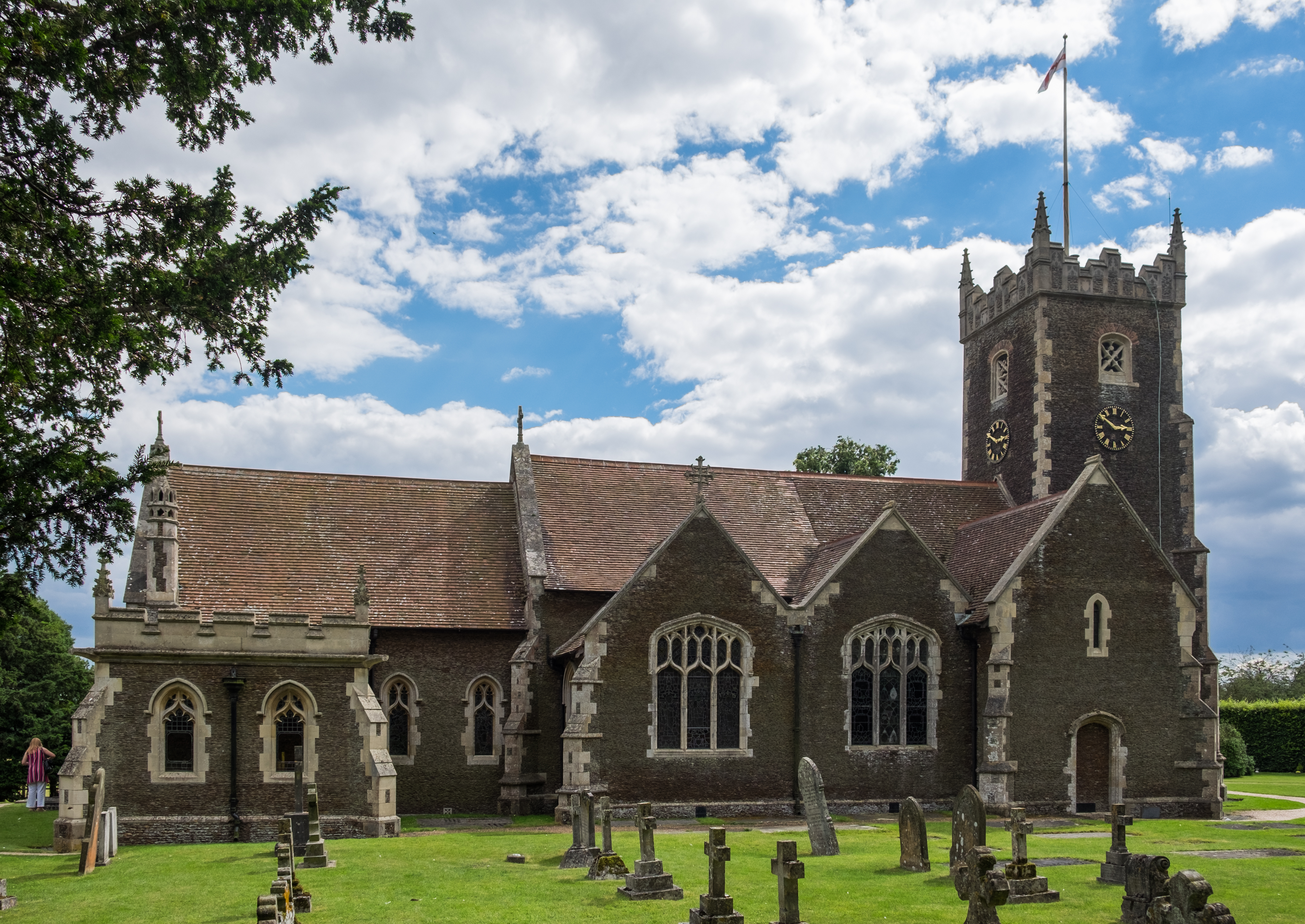
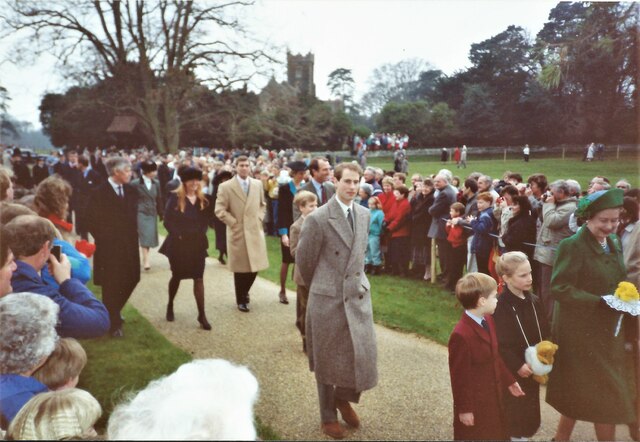
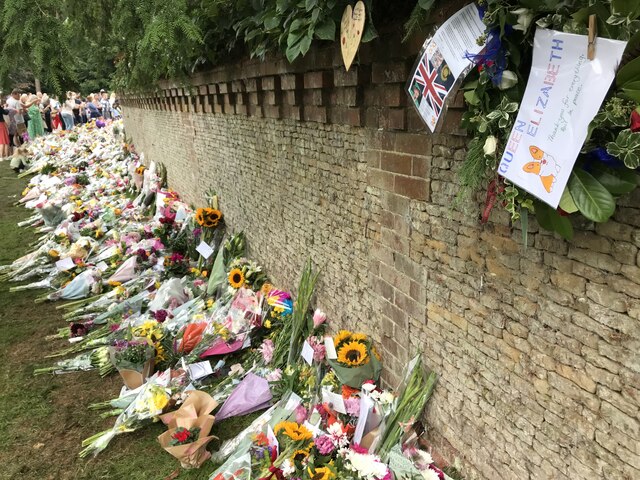
St Mary Magdalene Church, Sandringham

St Mary Magdalene Church is a church in Sandringham, Norfolk, England, located just to the southwest of Sandringham House. Members of the British Royal...
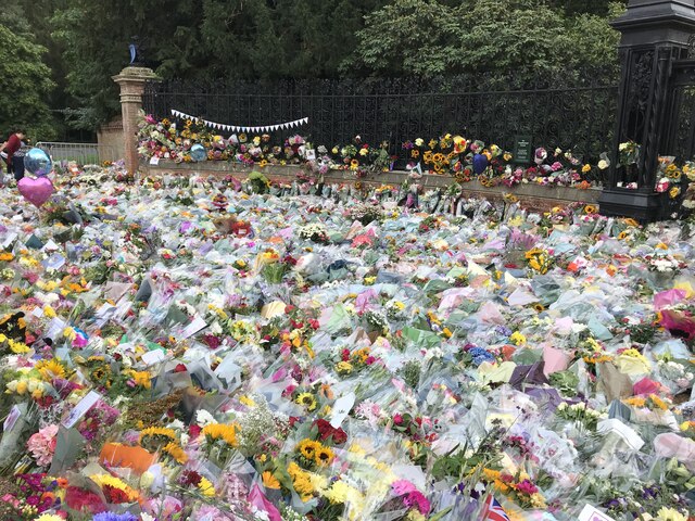
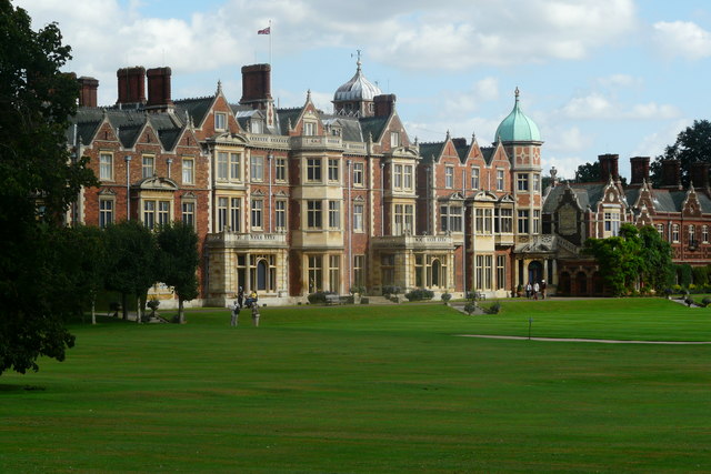
Sandringham House

Sandringham House is a country house in the parish of Sandringham, Norfolk, England. It is one of the royal residences of Charles III, whose grandfather...

Sandringham, Norfolk

Sandringham is a village and civil parish in the north of the English county of Norfolk. The village is situated 2 kilometres (1.2 mi) south of Dersingham...

Nearby Amenities

Located within 500m of 52.826988,0.48934747
Tourism: viewpoint
Lat/Long: 52.8268997/0.4895978
Communication Mobile Phone: yes
Man Made: mast
Material: metal
Operator: O2-UK;Vodafone UK;EE
Tower Construction: lattice
Tower Type: communication
Lat/Long: 52.8251697/0.4889435
Folly Hang
Place: locality
Lat/Long: 52.8268571/0.488399
The data included in this document is from www.openstreetmap.org. The data is made available under ODbL.

Have you been to Folly Hang?

Leave your review of Folly Hang below (or comments, questions and feedback).