Farhill Plantation

Wood, Forest in Norfolk King's Lynn and West Norfolk

England

Farhill Plantation

Bushes on Church Road, Wretton
Bushes on Church Road, Wretton Credit: David Howard

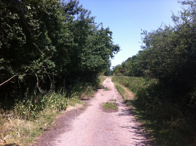
Farhill Plantation, located in Norfolk, is a picturesque woodland area known for its stunning natural beauty and rich biodiversity. Stretching across several acres, this plantation is an important part of the region's ecosystem.

The forest is predominantly composed of a variety of deciduous trees such as oak, beech, and maple, which create a dense canopy that provides shade and habitat for numerous species of wildlife. The ground is covered with a thick layer of fallen leaves, adding to the overall serenity and tranquility of the area.

Farhill Plantation is home to a diverse range of animal species, including deer, foxes, squirrels, and various bird species. It serves as a sanctuary for these animals, providing them with a safe and undisturbed habitat. Birdwatchers often flock to this location to observe and document the various avian species that inhabit the area.

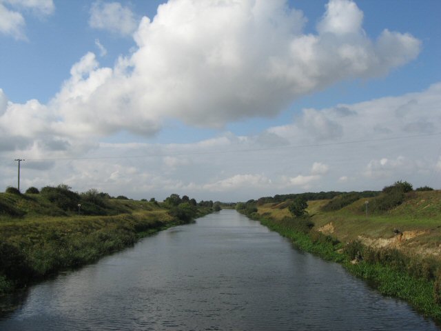
Visitors to Farhill Plantation can enjoy a peaceful stroll along the well-maintained trails that wind through the forest. The trails offer breathtaking views of the surrounding landscape, with occasional glimpses of small streams and ponds that meander through the woodland.

The plantation is also known for its conservation efforts. The local authorities have implemented measures to protect the area's natural resources, ensuring the long-term sustainability of the plantation. These efforts include controlled burns to manage vegetation, planting of native species, and regular monitoring of the wildlife population.

Farhill Plantation in Norfolk is a haven for nature enthusiasts and a testament to the importance of preserving and appreciating the natural world. Its remarkable beauty and ecological significance make it a must-visit destination for those seeking a connection with nature.

If you have any feedback on the listing, please let us know in the comments section below.

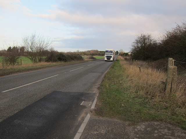
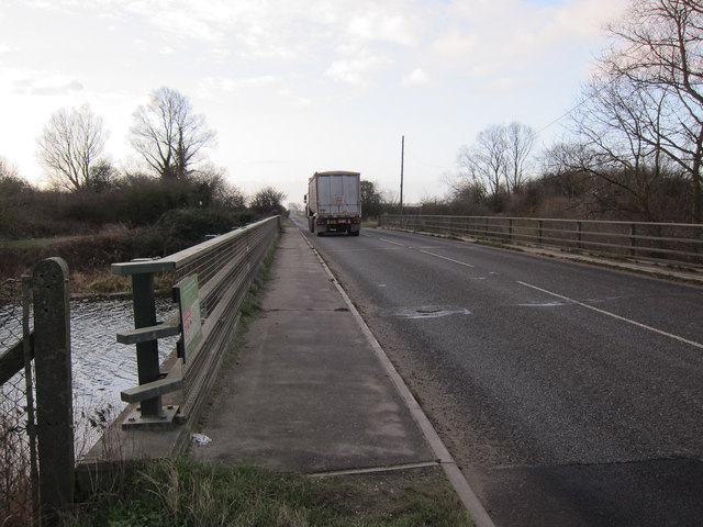
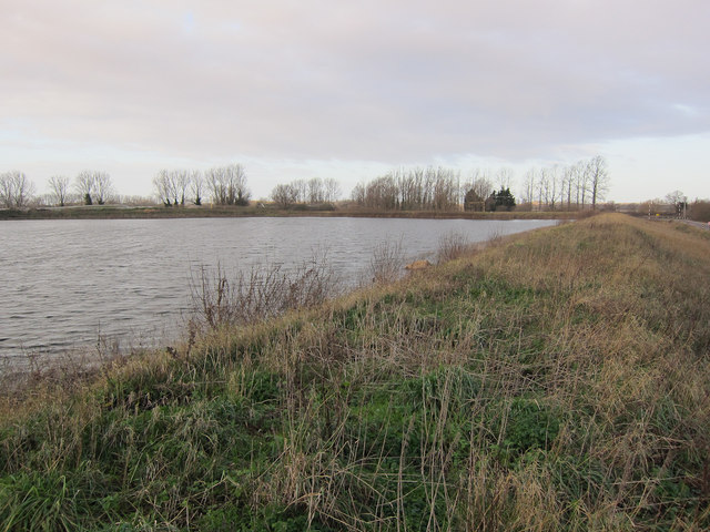
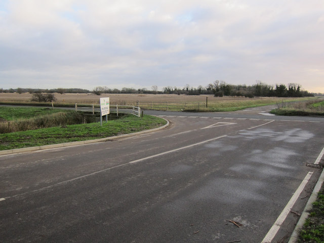
Farhill Plantation Images

Images are sourced within 2km of 52.568357/0.47427198 or Grid Reference TL6799. Thanks to Geograph Open Source API. All images are credited.

Bushes on Church Road, Wretton
Sugar beet lorry on College Farm Heading for <a href="https://www.geograph.org.uk/photo/575821">TL6597 : Wissington Sugar Factory</a>. They don't make for pleasant cycling but there aren't many other options for crossing the River Wissey. The sugar beet campaign started on September 14th and will run until late winter.
Sugar beet lorry on College Farm
Heading for TL6597 : Wissington Sugar Factory. They don't make for pleasant cycling but there aren't many other options for crossing the River Wissey. The sugar beet campaign started on September 14th and will run until late winter.
College Road bridge over Cut-off Channel With a lorry heading for <a href="https://www.geograph.org.uk/photo/575821">TL6597 : Wissington Sugar Factory</a>.
College Road bridge over Cut-off Channel
With a lorry heading for TL6597 : Wissington Sugar Factory.
Sugar beet settlement pool For treating the water used in the sugar factory.
Sugar beet settlement pool
For treating the water used in the sugar factory.
Private road off College Road Around the settlement pools by Wissington Sugar Factory.
Private road off College Road
Around the settlement pools by Wissington Sugar Factory.
Wretton Fen Drove Another nettle-encrusted right of way in The Fens. I think this contributor <a href="https://www.geograph.org.uk/photo/570008">TL6797 : Where now?</a> was looking for this "gap" from the other side.
Wretton Fen Drove
Another nettle-encrusted right of way in The Fens. I think this contributor TL6797 : Where now? was looking for this "gap" from the other side.
Wretton Fen Drove The right of way here goes to the right of the hedgerow.
Wretton Fen Drove
The right of way here goes to the right of the hedgerow.
Wretton Fen Drove Public right of way from the River Wissey to Wretton.
Wretton Fen Drove
Public right of way from the River Wissey to Wretton.
Wretton Fen Drove Public right of way from the River Wissey to Wretton.
Wretton Fen Drove
Public right of way from the River Wissey to Wretton.
Wretton Houses at the crossroads of Church Lane, Low Road, West Dereham Road and Wretton Fen Drove.
Wretton
Houses at the crossroads of Church Lane, Low Road, West Dereham Road and Wretton Fen Drove.
Wretton All Saints church
Wretton village sign on The Green Village signs are typically placed along the principal road or in a prominent location such as a village green or close by the church. The design often depicts a particularly feature of the village or a scene from its history, heritage, or culture. They are typically made of wood or metal or a combination of both, the designs are often made by the local community.
Although they do appear in villages and towns all over the country they are more prominent in East Anglia than elsewhere in the country.
Wretton village sign on The Green
Village signs are typically placed along the principal road or in a prominent location such as a village green or close by the church. The design often depicts a particularly feature of the village or a scene from its history, heritage, or culture. They are typically made of wood or metal or a combination of both, the designs are often made by the local community. Although they do appear in villages and towns all over the country they are more prominent in East Anglia than elsewhere in the country.
Wretton village sign (detail) The church of All Saints creates a background and it is the parish registers which date back to 1693. The tankard has four inn signs which represent the Red Lion, the Black Horse, the Chequers and the Cock & Breaches public houses, now all long gone. 
The lady standing on the scroll in the garden, is Jane Forby, a local widow and woman of fortune, who in her will of 1711, made provision for the poor of the parish with land for pasture & fuel.  Jane Forby Close is named in her memory.
Wretton village sign (detail)
The church of All Saints creates a background and it is the parish registers which date back to 1693. The tankard has four inn signs which represent the Red Lion, the Black Horse, the Chequers and the Cock & Breaches public houses, now all long gone. The lady standing on the scroll in the garden, is Jane Forby, a local widow and woman of fortune, who in her will of 1711, made provision for the poor of the parish with land for pasture & fuel. Jane Forby Close is named in her memory.
Flowers over the churchyard wall
Wretton War Memorial The Memorial is affixed to the south face of the church tower bearing the names of 15 men lost in WW1 and of one lost in WW2.
Wretton War Memorial
The Memorial is affixed to the south face of the church tower bearing the names of 15 men lost in WW1 and of one lost in WW2.
Farmland and wild flowers, Wretton Off West Dereham Road.
Farmland and wild flowers, Wretton
Off West Dereham Road.
West Dereham Road  Heading south east into Wretton.
West Dereham Road
Heading south east into Wretton.
Poultry houses, Wretton View over field from West Dereham Road.
Poultry houses, Wretton
View over field from West Dereham Road.
Show me another place!

Farhill Plantation is located at Grid Ref: TL6799 (Lat: 52.568357, Lng: 0.47427198)

Administrative County: Norfolk

District: King's Lynn and West Norfolk

Police Authority: Norfolk

What 3 Words

///crossings.bribing.ants. Near Stoke Ferry, Norfolk

Related Wikis

Wretton SSSI

Wretton SSSI is a 20.6-hectare (51-acre) geological Site of Special Scientific Interest north-east of Downham Market in Norfolk. It is a Geological Conservation...

Wretton

Wretton is a village and civil parish in the English county of Norfolk. It covers an area of 4.7 km2 (1.8 sq mi) and had a population of 392 in 155 households...

West Dereham Abbey

West Dereham Abbey was an abbey in Norfolk, England.St Mary's Abbey, West Dereham, was founded in 1188 by Hubert Walter, Dean of York, at his birthplace...

Wereham

Wereham is a small village and civil parish in the English county of Norfolk. == Location == Wereham lies in the Wissey valley and is on the main A134...

Abbey and West Dereham railway station

Abbey and West Dereham railway station was a railway station on the line between Downham Market and Stoke Ferry. It served the village of West Dereham...

West Dereham

West Dereham is a village and civil parish in the English county of Norfolk. It covers an area of 13.51 km2 (5.22 sq mi) and had a population of 450 at...

Wissington, Norfolk

Wissington in Norfolk is the site of British Sugar's largest sugar factory in the UK; it is also the largest in Europe. There has been a sugar factory...

Francis Fane, 1st Earl of Westmorland

Francis Fane, 1st Earl of Westmorland (1 February 1580 – 23 March 1629), (styled Sir Francis Fane between 1603 and 1624) of Mereworth in Kent and of Apethorpe...

Nearby Amenities

Located within 500m of 52.568357,0.47427198
Fixme: Does Restricted Byway continue west?
Lat/Long: 52.5667929/0.4769697
The data included in this document is from www.openstreetmap.org. The data is made available under ODbL.

Have you been to Farhill Plantation?

Leave your review of Farhill Plantation below (or comments, questions and feedback).