Fowler's Plantation
Wood, Forest in Norfolk King's Lynn and West Norfolk
England
Fowler's Plantation
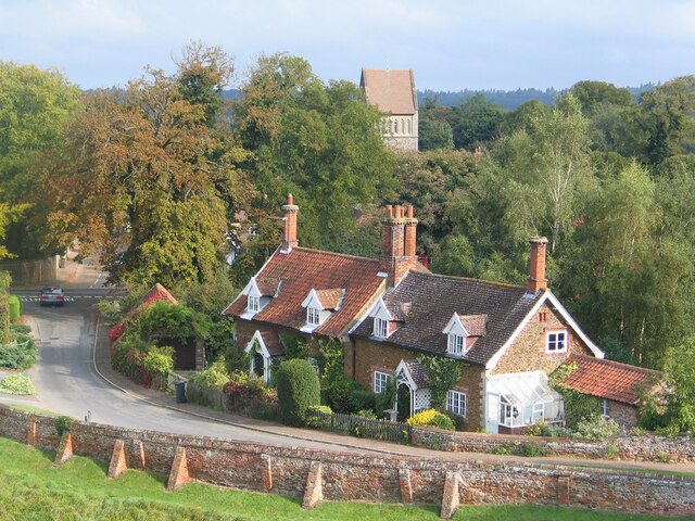
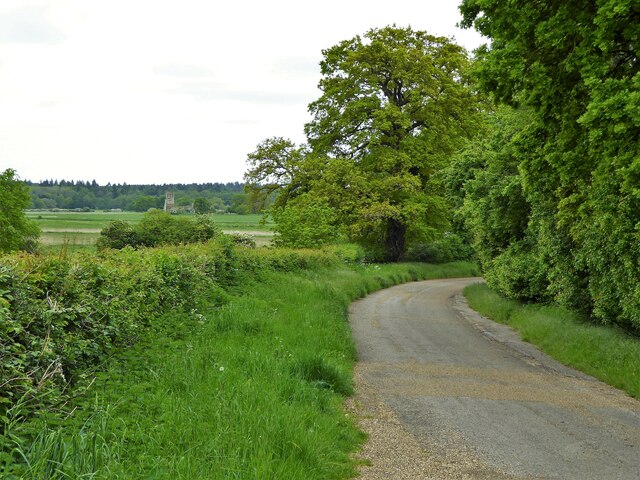
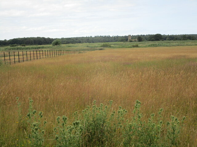
Fowler's Plantation is a sprawling woodland area located in Norfolk, England. Covering a vast expanse of approximately 200 acres, the plantation is known for its dense and diverse forest, providing a haven for various plant and animal species. The area is a popular destination for nature enthusiasts and hikers looking to explore the beauty of Norfolk's natural landscapes.
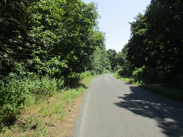
The plantation is predominantly composed of mixed woodland, featuring a variety of tree species including oak, beech, and birch. These trees form a dense canopy, providing shade and shelter for an array of wildlife. The forest floor is carpeted with a rich undergrowth, consisting of ferns, mosses, and wildflowers, adding to the visual appeal of the area.
Fowler's Plantation is home to a range of wildlife, making it an ideal spot for birdwatching and animal spotting. Common sightings include various species of birds such as woodpeckers, owls, and warblers. Mammals like foxes, rabbits, and squirrels are also frequently spotted within the plantation.
The plantation offers several well-marked trails and pathways, allowing visitors to explore the woodland at their own pace. These trails meander through the forest, offering glimpses of picturesque landscapes and peaceful surroundings. The plantation is also equipped with picnic areas and benches, providing visitors with an opportunity to relax and enjoy a packed lunch amidst nature.
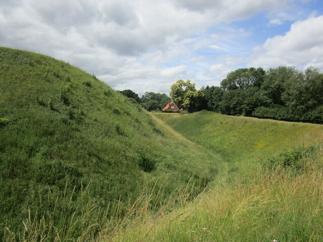
Fowler's Plantation is not only a natural treasure but also plays a vital role in maintaining the ecological balance of the region. Its preservation and conservation efforts ensure the continued existence of this stunning woodland for generations to come.
If you have any feedback on the listing, please let us know in the comments section below.
Fowler's Plantation Images
Images are sourced within 2km of 52.78888/0.48596934 or Grid Reference TF6724. Thanks to Geograph Open Source API. All images are credited.


Fowler's Plantation is located at Grid Ref: TF6724 (Lat: 52.78888, Lng: 0.48596934)
Administrative County: Norfolk
District: King's Lynn and West Norfolk
Police Authority: Norfolk
What 3 Words
///graceful.tweezers.jump. Near Grimston, Norfolk
Nearby Locations
Related Wikis

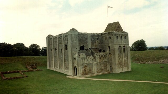
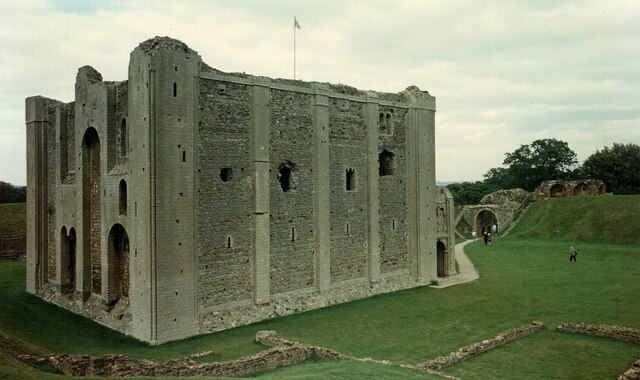
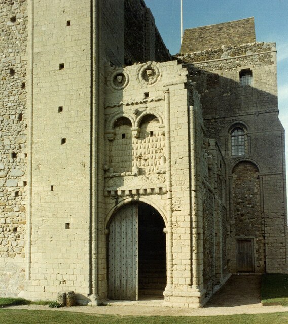
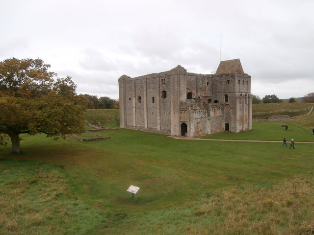
Castle Rising Castle
Castle Rising is a ruined medieval fortification in the village of Castle Rising, Norfolk, England. It was built soon after 1138 by William d'Aubigny II...

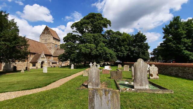
Castle Rising
Castle Rising is a village and civil parish in the English county of Norfolk. The village is situated some 8 kilometres (5 mi) north-east of the town of...

Roydon Common
Roydon Common is a 194.9-hectare (482-acre) biological Site of Special Scientific Interest east of King's Lynn in Norfolk. It is also a Grade I Nature...

Grimston Warren Pit
Grimston Warren Pit is a 6.6-hectare (16-acre) geological Site of Special Scientific Interest east of King's Lynn in Norfolk. It is a Geological Conservation...
Have you been to Fowler's Plantation?
Leave your review of Fowler's Plantation below (or comments, questions and feedback).