Fernhill Heath
Settlement in Worcestershire Wychavon
England
Fernhill Heath

Fernhill Heath is a small village located in Worcestershire, England. It is situated approximately three miles north of Worcester city center and is part of the Worcester urban area. The village is surrounded by picturesque countryside, with rolling hills and farmland creating a peaceful and rural setting.
Fernhill Heath has a population of around 2,000 residents and is a close-knit community with a strong sense of local pride. The village has a range of amenities including a primary school, village hall, post office, and several shops and pubs. There are also recreational facilities such as a sports field and playground, making it a popular choice for families.
The village is well-connected by road, with easy access to the nearby M5 motorway and A38 road, making it a convenient location for commuters. There are also regular bus services to Worcester and other surrounding towns.
Overall, Fernhill Heath offers a peaceful and idyllic setting for residents, with a strong community spirit and a range of amenities to cater to their needs.
If you have any feedback on the listing, please let us know in the comments section below.
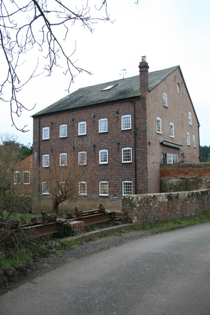
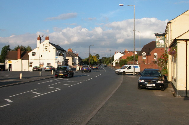
Fernhill Heath Images
Images are sourced within 2km of 52.226751/-2.198347 or Grid Reference SO8658. Thanks to Geograph Open Source API. All images are credited.


Fernhill Heath is located at Grid Ref: SO8658 (Lat: 52.226751, Lng: -2.198347)
Administrative County: Worcestershire
District: Wychavon
Police Authority: West Mercia
What 3 Words
///noting.mouse.safety. Near Fernhill Heath, Worcestershire
Nearby Locations
Related Wikis
Fernhill Heath
Fernhill Heath is a village in Worcestershire, England. It is in the civil parish of North Claines in Wychavon district. Fernhill Heath is located on the...
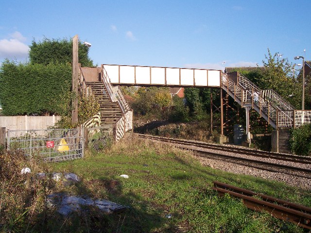
Fernhill Heath railway station
Fernhill Heath railway station was an intermediate railway station on the Oxford, Worcester and Wolverhampton Railway between Worcester (Tunnel Junction...

River School
The River School is an independent Christian School, affiliated with the Christian Schools Trust. The school is located in Worcester, England, in a large...
Blackpole Halt railway station
Blackpole Halt railway station was a station to the north of Worcester, Worcestershire, England. The station was opened during World War I to serve a nearby...
Nearby Amenities
Located within 500m of 52.226751,-2.198347Have you been to Fernhill Heath?
Leave your review of Fernhill Heath below (or comments, questions and feedback).