Church Wood
Wood, Forest in Norfolk King's Lynn and West Norfolk
England
Church Wood
Church Wood, located in Norfolk, England, is a picturesque woodland area renowned for its natural beauty and historical significance. This ancient forest covers an expansive area of approximately [X] acres and is a popular destination for nature enthusiasts and history buffs alike.
The wood is characterized by its diverse ecosystem, comprising a variety of tree species including oak, beech, and birch, which create a lush and vibrant canopy. The forest floor is adorned with a rich carpet of bluebells, wildflowers, and ferns, providing a serene and idyllic setting for visitors.
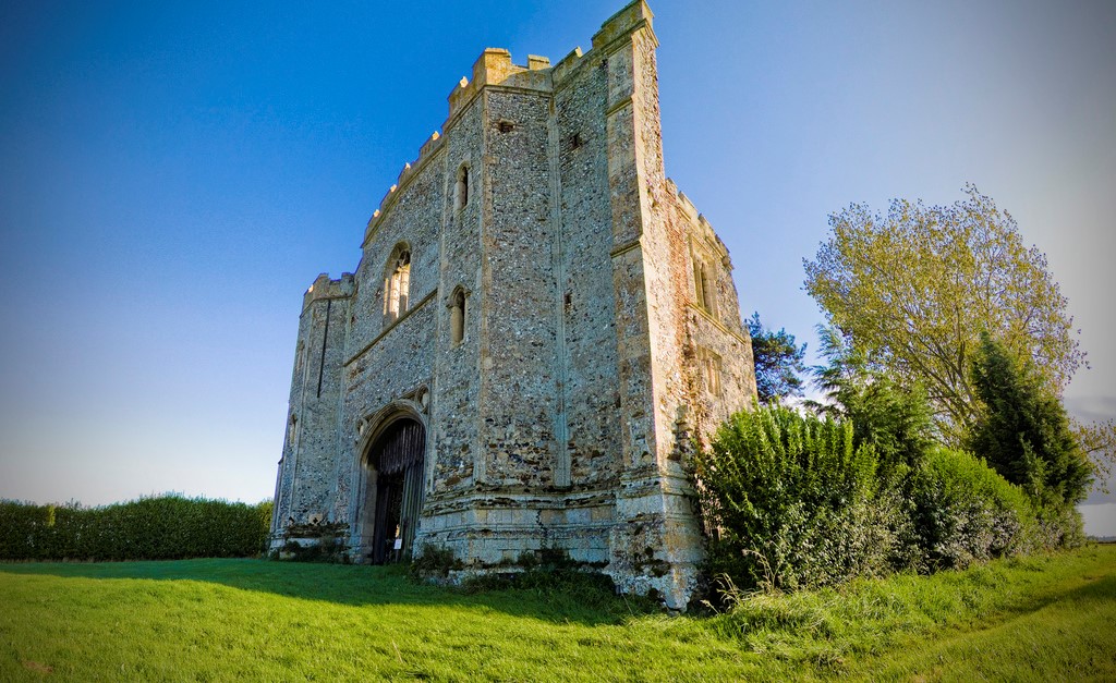
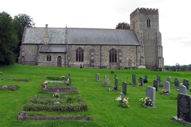
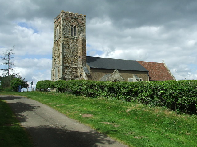
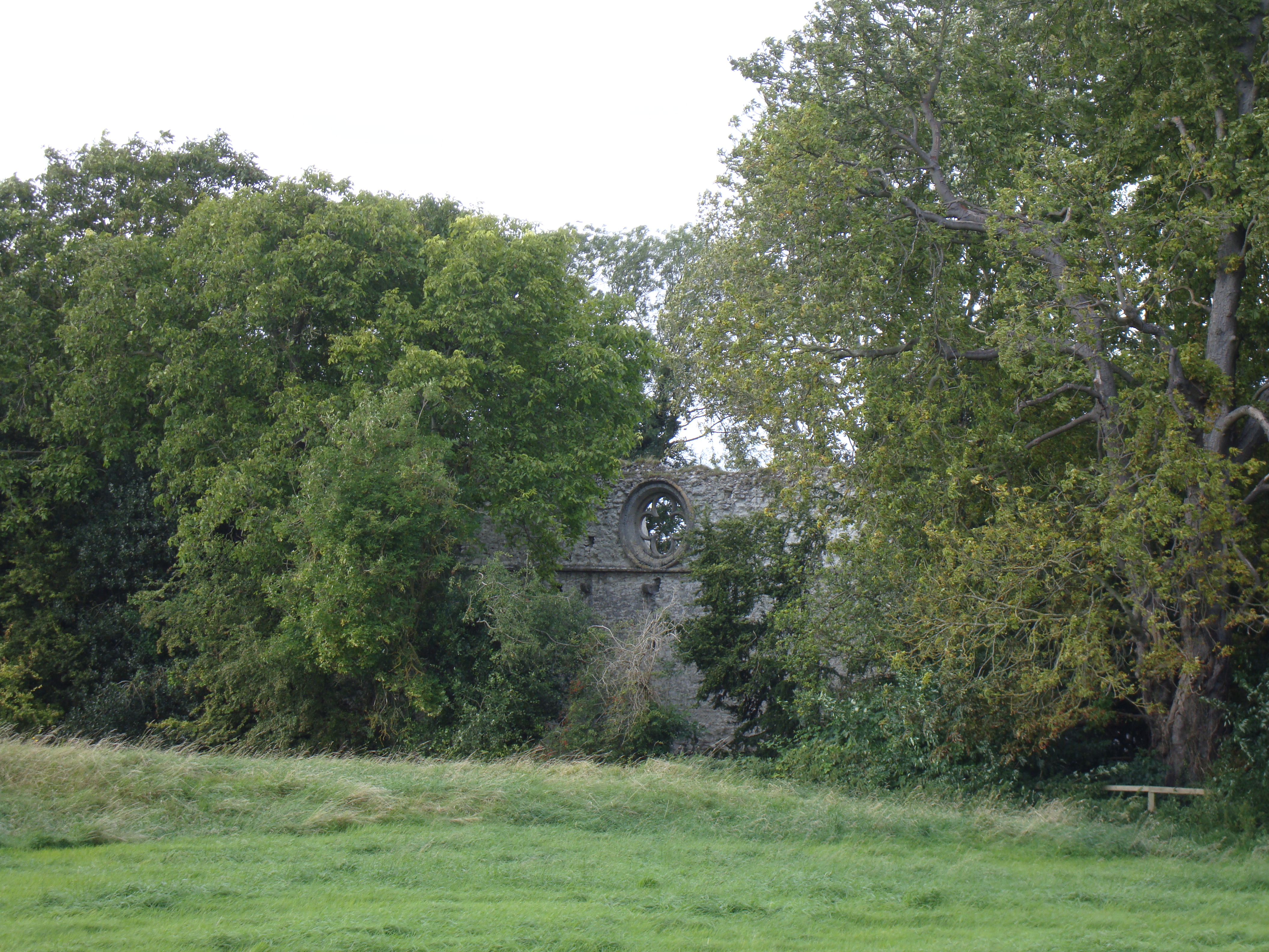
Church Wood also boasts a remarkable history, dating back centuries. It is home to the ruins of an old church, after which the wood takes its name. These ruins serve as a reminder of the area's past and add an air of mystery and intrigue to the wood. Many visitors are drawn to explore the remnants of the church and imagine the stories of those who worshiped there.
The wood offers a network of well-maintained trails, allowing visitors to enjoy leisurely walks or more adventurous hikes. Along these paths, one can encounter a variety of wildlife, including deer, foxes, and an array of bird species, making it a haven for birdwatchers.
Church Wood, with its combination of natural beauty and historical significance, provides a peaceful and enchanting retreat for those seeking solace in nature or a glimpse into the past. It remains a treasured gem in Norfolk's landscape, attracting visitors from far and wide.
If you have any feedback on the listing, please let us know in the comments section below.
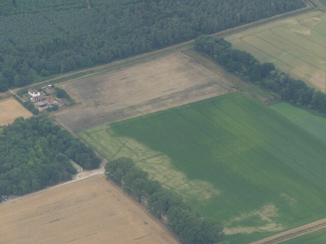
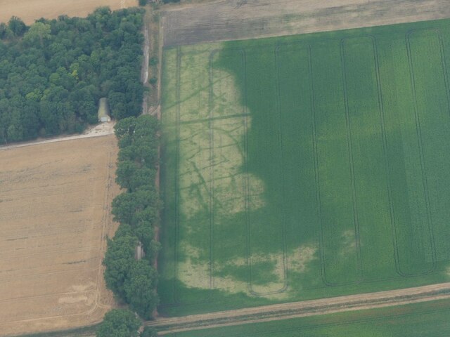
Church Wood Images
Images are sourced within 2km of 52.679527/0.47500416 or Grid Reference TF6711. Thanks to Geograph Open Source API. All images are credited.


Church Wood is located at Grid Ref: TF6711 (Lat: 52.679527, Lng: 0.47500416)
Administrative County: Norfolk
District: King's Lynn and West Norfolk
Police Authority: Norfolk
What 3 Words
///suckle.treetop.shredding. Near Narborough, Norfolk
Nearby Locations
Related Wikis

Wormegay
Wormegay is a civil parish in the English county of Norfolk. The village is situated some 9 kilometres (5.6 miles) south of King's Lynn and 60 km (37 mi...

Wormegay Castle
Wormegay Castle is a motte and bailey earthwork, located next to the village of Wormegay in the English county of Norfolk. == Details == The castle was...

Blackborough Priory
Blackborough Priory was a Benedictine monastic house in Norfolk, England, about 5 miles or 8 km south east of King's Lynn. The Ordnance Survey map shows...

Blackborough End Pit
Blackborough End Pit is a 13.2-hectare (33-acre) geological Site of Special Scientific Interest south-east of King's Lynn in Norfolk. It is a Geological...
Pentney Priory
Pentney Priory was an Augustinian priory at Pentney in the district of King's Lynn and West Norfolk, Norfolk, England. The ruins of the priory, mostly...
Shouldham
Shouldham is a village and civil parish in the English county of Norfolk. It covers an area of 16.04 km2 (6.19 sq mi) and had a population of 608 in 246...
Tottenhill
Tottenhill is a civil parish in the English county of Norfolk. It covers an area of 5.90 km2 (2.28 sq mi) and had a population of 231 in 97 households...
Marham Abbey
Marham Abbey was situated in the village of Marham, southeast of King's Lynn, Norfolk, England. It was founded by Isabel, Countess of Arundel, in 1249...
Nearby Amenities
Located within 500m of 52.679527,0.47500416Have you been to Church Wood?
Leave your review of Church Wood below (or comments, questions and feedback).