Fairstead Plantation
Wood, Forest in Norfolk King's Lynn and West Norfolk
England
Fairstead Plantation

Fairstead Plantation, located in Norfolk, England, is a picturesque woodland area spanning over 1,000 acres. Nestled in the heart of the county, it is renowned for its natural beauty and diverse ecosystem. The plantation primarily consists of ancient broadleaf woodland, with a variety of tree species such as oak, beech, and ash dominating the landscape.
The woodland at Fairstead Plantation is a haven for wildlife, providing a sanctuary for numerous species of birds, mammals, and insects. It is particularly known for its population of deer, which can often be spotted grazing among the trees. The diverse flora and fauna make the plantation a popular destination for nature enthusiasts and photographers alike.
Visitors to Fairstead Plantation can enjoy a network of well-maintained walking trails that wind through the woodland, allowing them to explore its hidden corners and discover its natural treasures. The trails offer stunning views of the surrounding countryside and provide ample opportunities for peaceful contemplation and relaxation.
In addition to its natural beauty, Fairstead Plantation also holds historical significance. The area has evidence of human habitation dating back to the Iron Age, and remnants of ancient settlements and burial sites have been discovered within its boundaries. These archaeological finds add an extra layer of intrigue to the plantation, attracting those interested in the region's rich history.
Overall, Fairstead Plantation is a captivating destination for nature lovers and history buffs alike. Its ancient woodland, diverse wildlife, and tranquil atmosphere make it a must-visit location for anyone seeking solace in the heart of Norfolk's countryside.
If you have any feedback on the listing, please let us know in the comments section below.
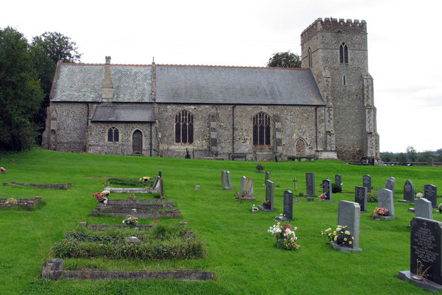
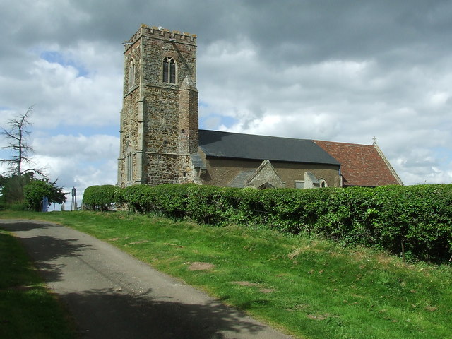
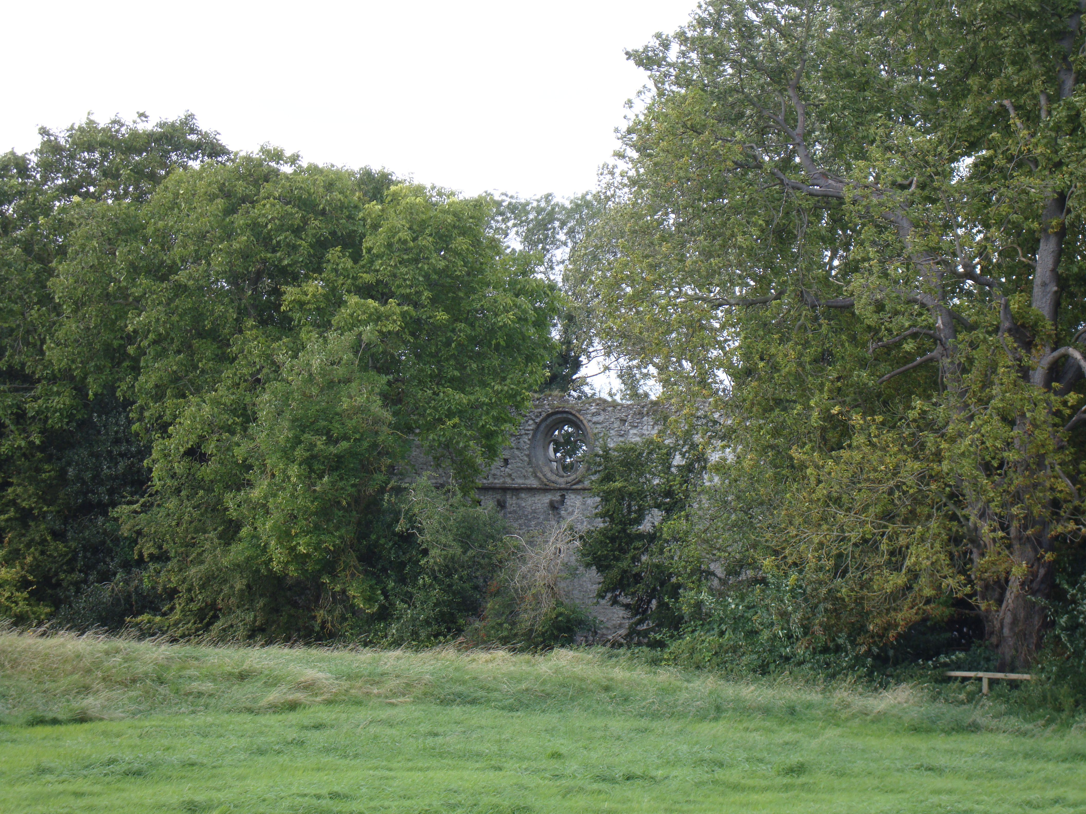
Fairstead Plantation Images
Images are sourced within 2km of 52.65655/0.47080745 or Grid Reference TF6709. Thanks to Geograph Open Source API. All images are credited.


Fairstead Plantation is located at Grid Ref: TF6709 (Lat: 52.65655, Lng: 0.47080745)
Administrative County: Norfolk
District: King's Lynn and West Norfolk
Police Authority: Norfolk
What 3 Words
///dazzling.community.natural. Near Downham Market, Norfolk
Nearby Locations
Related Wikis
Shouldham
Shouldham is a village and civil parish in the English county of Norfolk. It covers an area of 16.04 km2 (6.19 sq mi) and had a population of 608 in 246...

Shouldham Thorpe
Shouldham Thorpe is a village and civil parish in the English county of Norfolk. It covers an area of 5.87 km2 (2.27 sq mi) and had a population of 157...

Wormegay
Wormegay is a civil parish in the English county of Norfolk. The village is situated some 9 kilometres (5.6 miles) south of King's Lynn and 60 km (37 mi...

Wormegay Castle
Wormegay Castle is a motte and bailey earthwork, located next to the village of Wormegay in the English county of Norfolk. == Details == The castle was...

Fincham
Fincham is a village and civil parish the English county of Norfolk. The village is located 9.4 miles (15.1 km) south of King's Lynn and 34 miles (55 km...
Tottenhill
Tottenhill is a civil parish in the English county of Norfolk. It covers an area of 5.90 km2 (2.28 sq mi) and had a population of 231 in 97 households...
Marham Abbey
Marham Abbey was situated in the village of Marham, southeast of King's Lynn, Norfolk, England. It was founded by Isabel, Countess of Arundel, in 1249...

Marham
Marham is a village and civil parish in the English county of Norfolk, approximate 12 miles (19 km) away from King's Lynn. An RAF station, RAF Marham,...
Nearby Amenities
Located within 500m of 52.65655,0.47080745Have you been to Fairstead Plantation?
Leave your review of Fairstead Plantation below (or comments, questions and feedback).