Spring Wood
Wood, Forest in Sussex Rother
England
Spring Wood
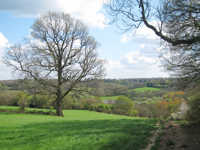
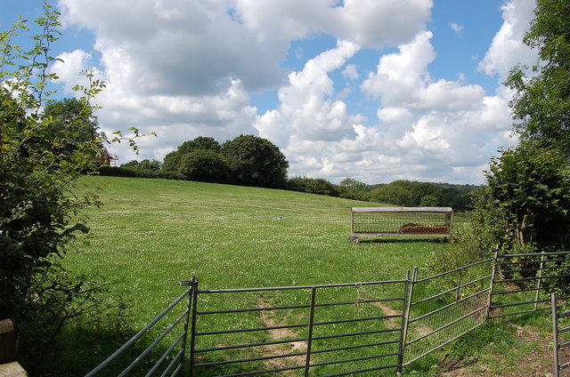
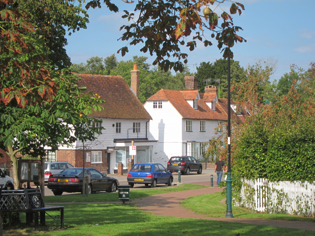
Spring Wood is a picturesque forest located in the county of Sussex, England. Covering an area of approximately 500 acres, the woodland is known for its stunning natural beauty and diverse ecosystem. It is situated on the outskirts of a quaint rural village, providing a peaceful and serene environment for visitors to enjoy.
The forest is predominantly made up of deciduous trees, including oak, beech, and ash, which create a vibrant and colorful landscape during the spring and autumn months. The forest floor is adorned with a carpet of bluebells and wildflowers, adding to the enchanting atmosphere.
Spring Wood is home to a wide variety of wildlife, making it a popular destination for nature enthusiasts and birdwatchers. Visitors may encounter deer, foxes, badgers, and a plethora of bird species, including woodpeckers, robins, and owls. It is also a haven for small mammals, such as squirrels and rabbits.
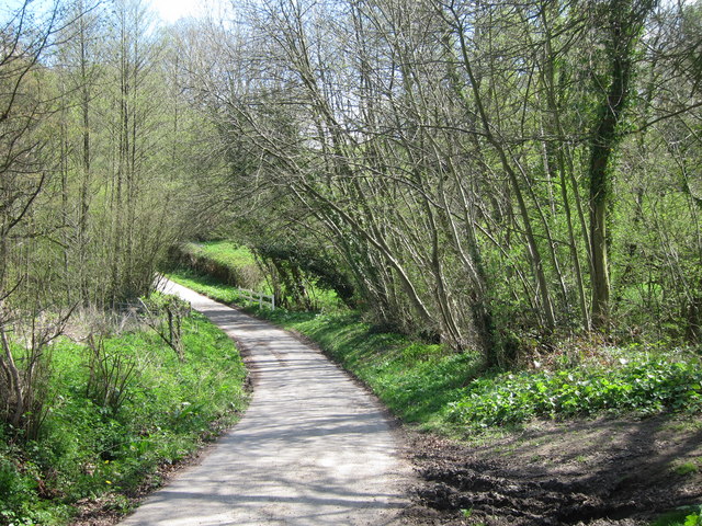
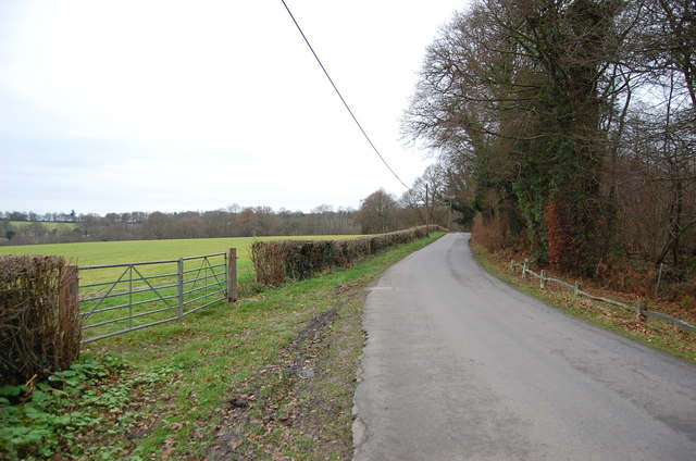
The woodland offers numerous walking trails and footpaths, allowing visitors to explore its beauty at their own pace. There are designated picnic areas and benches scattered throughout the forest, providing opportunities for visitors to relax and enjoy the tranquil surroundings. Additionally, Spring Wood is a popular spot for photography, with its breathtaking scenery providing endless opportunities for capturing stunning images.
Access to Spring Wood is easy, with ample parking available nearby. The forest is open to the public throughout the year, and there is no admission fee, making it an accessible destination for locals and tourists alike. Whether seeking solace in nature or embarking on an adventure, Spring Wood offers a delightful escape into the heart of Sussex's natural beauty.
If you have any feedback on the listing, please let us know in the comments section below.
Spring Wood Images
Images are sourced within 2km of 51.07043/0.38512496 or Grid Reference TQ6732. Thanks to Geograph Open Source API. All images are credited.


Spring Wood is located at Grid Ref: TQ6732 (Lat: 51.07043, Lng: 0.38512496)
Administrative County: East Sussex
District: Rother
Police Authority: Sussex
What 3 Words
///darker.postings.belly. Near Ticehurst, East Sussex
Nearby Locations
Related Wikis

Bewl Bridge Rowing Club
Bewl Bridge Rowing Club is a rowing club on the Bewl Water, based at Bewlbridge Lane, Lamberhurst, Wadhurst, Tunbridge Wells. Rowers aged 12 and upwards...

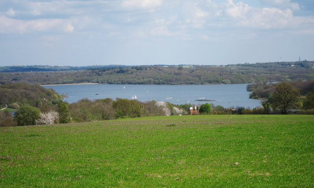
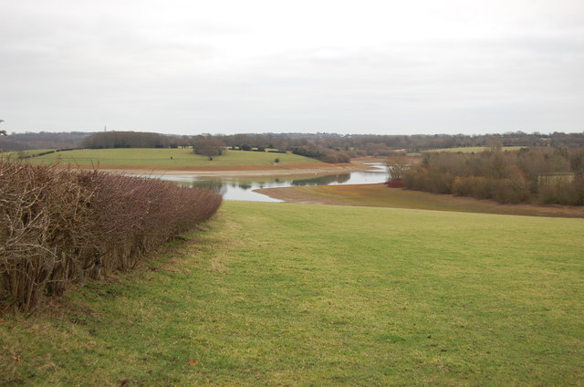
Bewl Water
Bewl Water is a reservoir in the valley of the River Bewl, straddling the boundary between Kent and East Sussex in England. It is about 2 miles (3.2 km...

Ticehurst House Hospital
Ticehurst House Hospital was a mental health facility. It opened in 1792 and was owned and run by five generations of members of the Newington family until...

Rehoboth Chapel, Pell Green
Rehoboth Chapel is a former Strict Baptist place of worship in the hamlet of Pell Green in East Sussex, England. Pell Green is in the parish of Wadhurst...
Ticehurst
Ticehurst is both a village and a large civil parish in the Rother district of East Sussex, England. The parish lies in the upper reaches of both the Bewl...

Scotney Castle SSSI
Scotney Castle SSSI is a 112.5-hectare (278-acre) biological Site of Special Scientific Interest in the grounds of Scotney Castle, a National Trust property...

Scotney Castle
Scotney Castle is an English country house with formal gardens south-east of Lamberhurst in the valley of the River Bewl in Kent, England. It belongs to...
Lamberhurst
Lamberhurst ( is a village and civil parish in the borough of Tunbridge Wells in Kent, England. The parish contains the hamlets of The Down and Hook Green...
Related Videos

A Hiking Adventure: Bewl Water
Join me as I hike the 20.9km Bewl Water Circular near Ticehurst, East Sussex. It is generally considered a moderately challenging ...

Hike around Bewl Water
A walk around Bewl Water with Chris. Around 21 km (12.5 miles) of great views and weather, as well as Chris sprinkling some ...

Ths Most Beautiful Landscaped Garden? A Day at Scotney Castle Kent UK National Trust
Scotney Castle is one of my favourite National Trust sites and its garden is absolutely stunning. Scotney Castle is in Kent, UK and ...

Stonegate to Kent Weald: The Rudyard Kipling Circular Walk | UK National Trust Hikes 🇬🇧
Experience the beauty of Kent Weald as we embark on the Rudyard Kipling Circular Walk, starting from the charming village of ...
Nearby Amenities
Located within 500m of 51.07043,0.38512496Have you been to Spring Wood?
Leave your review of Spring Wood below (or comments, questions and feedback).