East Woods
Wood, Forest in Kent Tonbridge and Malling
England
East Woods
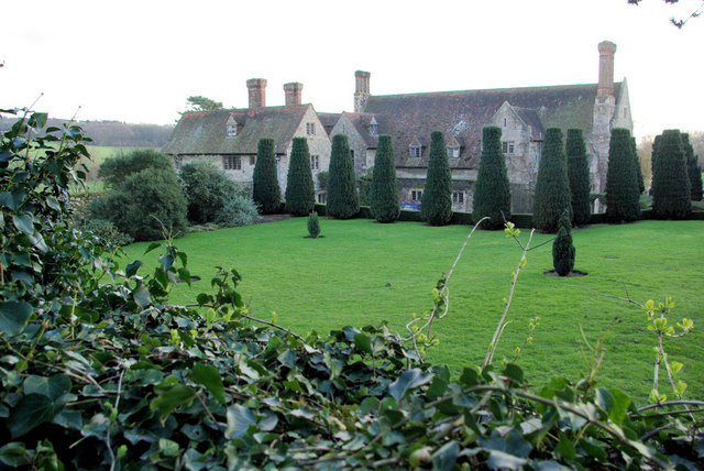
East Woods is a large wooded area located in the county of Kent, England. It is renowned for its dense forest and picturesque landscapes, making it a popular destination for nature enthusiasts and hikers alike. The woods cover an expansive area of approximately 500 acres and are home to a diverse range of flora and fauna.
The woodland is predominantly composed of deciduous trees such as oak, beech, and birch, which provide an enchanting canopy that changes with the seasons. The forest floor is carpeted with an array of wildflowers, ferns, and mosses, creating a vibrant and magical atmosphere.
East Woods is crisscrossed by a network of well-maintained trails, allowing visitors to explore the area and appreciate its natural beauty. These trails cater to individuals of varying fitness levels, offering options for leisurely strolls as well as more challenging hikes. Along the way, visitors may encounter charming bridges spanning babbling brooks and encounter an abundance of wildlife, including deer, rabbits, and a plethora of bird species.
The woods are also home to several designated picnic areas, providing visitors with the perfect opportunity to relax and enjoy a meal amidst the tranquility of nature. Additionally, there are information points dotted throughout the woods, offering educational insights into the local flora and fauna.
Overall, East Woods in Kent is a captivating destination that offers a serene and immersive experience in the heart of nature. Whether it's a leisurely walk, a family picnic, or a bird-watching adventure, East Woods provides a perfect retreat for all nature lovers.
If you have any feedback on the listing, please let us know in the comments section below.
East Woods Images
Images are sourced within 2km of 51.251579/0.39443149 or Grid Reference TQ6752. Thanks to Geograph Open Source API. All images are credited.


East Woods is located at Grid Ref: TQ6752 (Lat: 51.251579, Lng: 0.39443149)
Administrative County: Kent
District: Tonbridge and Malling
Police Authority: Kent
What 3 Words
///lurching.clinked.bordering. Near Wateringbury, Kent
Nearby Locations
Related Wikis
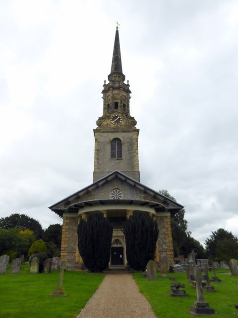
St Michael's Church, East Peckham
St Michael's is a redundant Anglican church in East Peckham, Kent, England. The church is recorded in the National Heritage List for England as a designated...

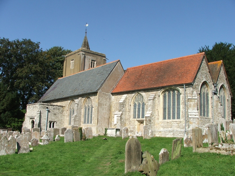
St Lawrence's Church, Mereworth
St Lawrence's Church is an Anglican parish church at Mereworth, Kent, United Kingdom. It is in the deanery of West Malling, the Diocese of Rochester and...

Nettlestead, Kent
Nettlestead is a village and civil parish on the road south-west of, and part of the borough of Maidstone. The parish includes Nettlestead Green and part...

Wateringbury SSSI
Wateringbury SSSI is a 0.2-hectare (0.49-acre) geological Site of Special Scientific Interest in Wateringburym west of Maidstone in Kent. It is a Geological...

St Mary's Church, Nettlestead
St Mary the Virgin is a parish church in Nettlestead, Kent, begun in the 13th century. == Building == Construction of the church began in the 13th century...
Nettlestead Place
Nettlestead Place is a country house in Nettlestead, Kent, England. The house and its gatehouse are each separately Grade I listed buildings. == Buildings... ==
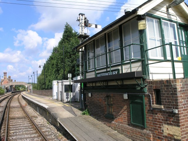
Wateringbury railway station
Wateringbury railway station is on the Medway Valley Line in Kent, England, serving the villages of Wateringbury and Nettlestead. It is 39 miles 77 chains...
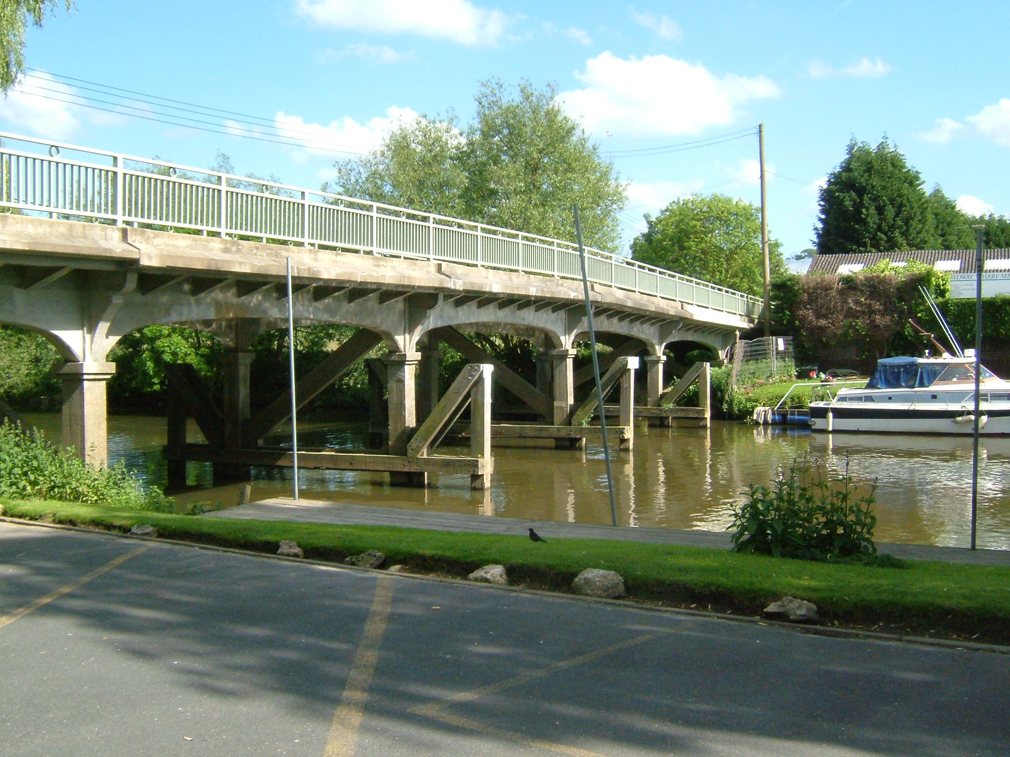
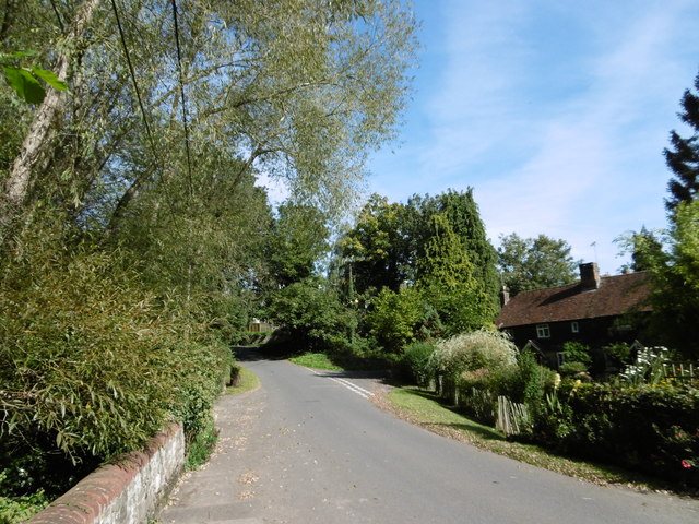
Wateringbury
Wateringbury is a village and civil parish near the town of Maidstone in Kent, England. The Wateringbury Stream flows into the River Medway just above...
Related Videos

Medway Valley Walk Ep 1 Gentle River Stroll with FREE Food
Pastor Steve and I had a gentle (8 mile) river stroll on Saturday. We walked from Allington Lock in Maidstone to Wouldham ...
Walking along the banks of the River Medway, Maidstone, UK. #riverMedway #maidstone #kent
Audio track: Undercover Vampire Policeman by Chris Zabriskie is licensed under a Creative Commons Attribution 4.0 licence.

Best Stealth River Camping| River Medway Valley Walk ep.3
Looking for best river stealth camping places? Friday night I went out to relax on River Medway and to find best place for a stealth ...

Travel on Princess 330
Travelling on the river Medway 17kts cruising speed against the tide.
Nearby Amenities
Located within 500m of 51.251579,0.39443149Have you been to East Woods?
Leave your review of East Woods below (or comments, questions and feedback).