Punish Wood

Wood, Forest in Kent Tonbridge and Malling

England

Punish Wood

Public footpath near Snodland A public footpath passing the foot of an electricity pylon as it heads into a field in the Kent countryside.
Public footpath near Snodland Credit: Malc McDonald

Punish Wood is a picturesque forest located in the county of Kent, England. Spanning over a vast area of land, this woodland is known for its stunning natural beauty and diverse range of flora and fauna.

The forest is situated in the southeastern part of the county, near the town of Canterbury. It is easily accessible by road and is a popular destination for nature enthusiasts, hikers, and birdwatchers.

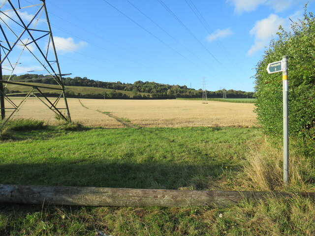
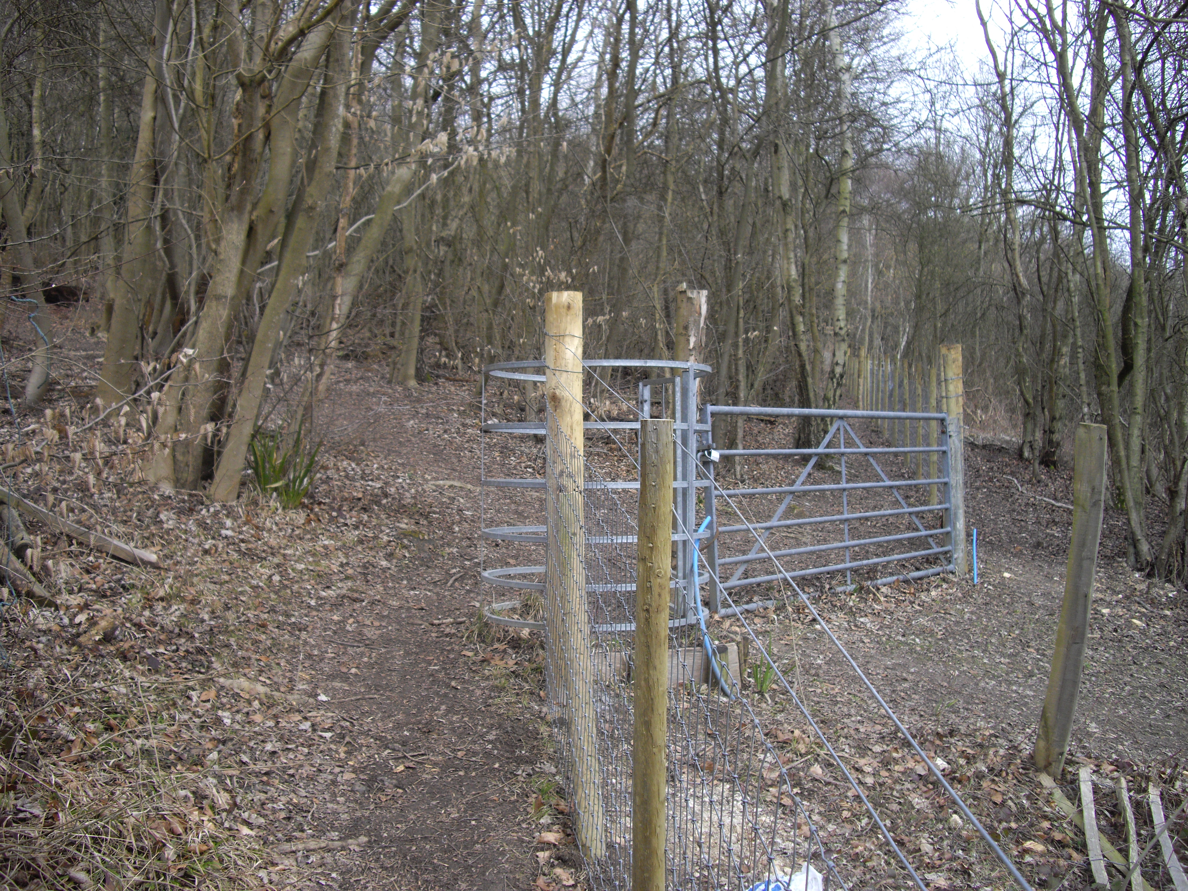
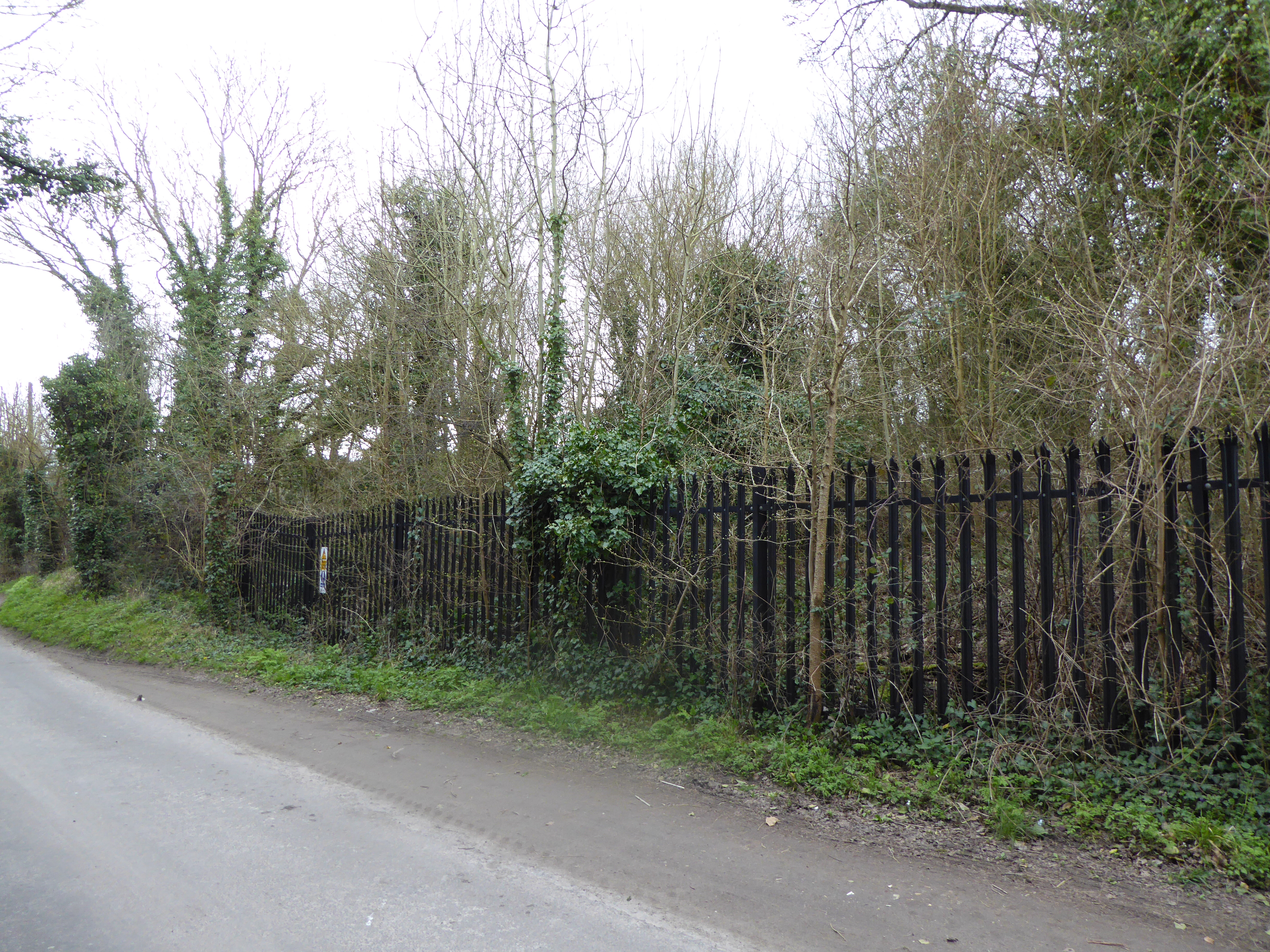
Punish Wood is characterized by its dense canopy of tall trees, creating a tranquil and serene atmosphere. The forest is predominantly made up of oak, beech, and ash trees, which provide a habitat for numerous wildlife species. Visitors can often spot various birds, such as woodpeckers, owls, and songbirds, fluttering among the branches. Squirrels, rabbits, and deer are also commonly seen within the woodland.

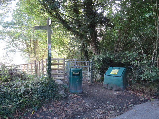
The forest offers a network of well-maintained trails, allowing visitors to explore its natural wonders on foot. The paths wind through the forest, leading to scenic viewpoints, peaceful clearings, and small streams. These trails are suitable for all skill levels, making it an ideal location for a leisurely stroll or a more challenging hike.

Punish Wood is a haven for nature lovers, providing a tranquil escape from the hustle and bustle of everyday life. With its stunning landscapes, abundant wildlife, and well-marked trails, this forest offers a truly immersive and unforgettable experience for all who visit.

If you have any feedback on the listing, please let us know in the comments section below.

Punish Wood Images

Images are sourced within 2km of 51.34625/0.3967935 or Grid Reference TQ6763. Thanks to Geograph Open Source API. All images are credited.

Public footpath near Snodland A public footpath passing the foot of an electricity pylon as it heads into a field in the Kent countryside.
Public footpath near Snodland
A public footpath passing the foot of an electricity pylon as it heads into a field in the Kent countryside.
Paddlesworth Road, near Snodland Paddlesworth Road is a minor lane passing through Kent countryside near the town of Snodland.  A pair of electricity pylons stand tall in a field to the left.
Paddlesworth Road, near Snodland
Paddlesworth Road is a minor lane passing through Kent countryside near the town of Snodland. A pair of electricity pylons stand tall in a field to the left.
Stangate Road, near Snodland Stangate Road is a minor road through Kent countryside, near the town of Snodland.  The signpost to the extreme right of the image indicates the route of a public footpath.
Stangate Road, near Snodland
Stangate Road is a minor road through Kent countryside, near the town of Snodland. The signpost to the extreme right of the image indicates the route of a public footpath.
Paddlesworth Road, near Snodland Paddlesworth Road is a minor road passing through Kent countryside near the town of Snodland.  This image was taken in the late afternoon on an October day, as the shadows were lengthening.
Paddlesworth Road, near Snodland
Paddlesworth Road is a minor road passing through Kent countryside near the town of Snodland. This image was taken in the late afternoon on an October day, as the shadows were lengthening.
Birling Hill, near Snodland Birling Hill is a minor road through Kent countryside.  This image was taken in the late afternoon of an October day, as shadows were lengthening.
Birling Hill, near Snodland
Birling Hill is a minor road through Kent countryside. This image was taken in the late afternoon of an October day, as shadows were lengthening.
Public footpath near Snodland A public footpath passing through a gap in a hedge, then heading across a field near Snodland in Kent.
Public footpath near Snodland
A public footpath passing through a gap in a hedge, then heading across a field near Snodland in Kent.
Restricted byway near Snodland A restricted byway through woodland on the North Downs, near Snodland in Kent.
Restricted byway near Snodland
A restricted byway through woodland on the North Downs, near Snodland in Kent.
North Downs Way, near Snodland A gate on the North Downs Way in woodland near Snodland in Kent.
North Downs Way, near Snodland
A gate on the North Downs Way in woodland near Snodland in Kent.
White Horse Road, near Vigo White Horse Road is a minor road on the North Downs in Kent.
White Horse Road, near Vigo
White Horse Road is a minor road on the North Downs in Kent.
Field on the North Downs near Vigo A field on the North Downs in Kent.
Field on the North Downs near Vigo
A field on the North Downs in Kent.
White Horse Road, near Vigo Long shadows on White Horse Road, on the North Downs in Kent.  This image was taken in the late afternoon of an October day, when the sun was low in the sky.
White Horse Road, near Vigo
Long shadows on White Horse Road, on the North Downs in Kent. This image was taken in the late afternoon of an October day, when the sun was low in the sky.
Harvel Green The green in the village of Harvel, in north Kent.  The village sign stands to the right of the image.

This image was taken late in the afternoon on an October day.  The sun was setting, casting long shadows.
Harvel Green
The green in the village of Harvel, in north Kent. The village sign stands to the right of the image. This image was taken late in the afternoon on an October day. The sun was setting, casting long shadows.
Below the Pilgrims Way A field below the Pilgrims Way near Birling.
Below the Pilgrims Way
A field below the Pilgrims Way near Birling.
Below the Pilgrims Way A field below the Pilgrims Way near Birling.
Below the Pilgrims Way
A field below the Pilgrims Way near Birling.
Below the Pilgrims Way A field edge below the Pilgrims Way near Birling.
Below the Pilgrims Way
A field edge below the Pilgrims Way near Birling.
Line of trees A line of trees below the Pilgrims Way near Birling.
Line of trees
A line of trees below the Pilgrims Way near Birling.
Line of trees A line of trees below the Pilgrims Way near Birling.
Line of trees
A line of trees below the Pilgrims Way near Birling.
Pilgrims Way Looking along the Pilgrims Way near Birling.
Pilgrims Way
Looking along the Pilgrims Way near Birling.
Show me another place!

Punish Wood is located at Grid Ref: TQ6763 (Lat: 51.34625, Lng: 0.3967935)

Administrative County: Kent

District: Tonbridge and Malling

Police Authority: Kent

What 3 Words

///harp.finest.kept. Near Culverstone Green, Kent

Related Wikis

Dode, Kent

Dode (in Old English, Dowde) was a village in England that was wiped out by the Black Death in 1349. All that remains is the deconsecrated church, which...

Halling to Trottiscliffe Escarpment

Halling to Trottiscliffe Escarpment is a 600.6-hectare (1,484-acre) biological Site of Special Scientific Interest which runs from Cuxton to Wrotham, west...

Houlder and Monarch Hill Pits, Upper Halling

Houlder and Monarch Hill Pits is a 0.7-hectare (1.7-acre) geological Site of Special Scientific Interest in Upper Halling in Kent, England. It is a Geological...
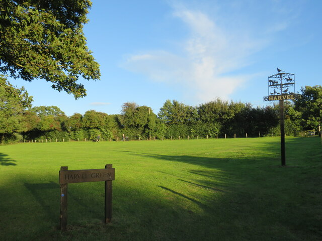
Harvel

Harvel is a village in the civil parish of Meopham in the west of the county of Kent, England. It is sited on the southern edge of the North Downs. The...

St Benedict's Church, Paddlesworth

St Benedict's Church is a redundant Anglican church in the village of Paddlesworth, Kent, England. It is recorded in the National Heritage List for England...

Snodland Town F.C.

Snodland Town F.C. is an English football club based in Snodland, Kent. They play in the Southern Counties East League Division One, at level 10 of the...

Meopham air disaster

The Meopham Air Disaster occurred on 21 July 1930 when a Junkers F.13ge flying from Le Touquet to Croydon with two crew and four passengers crashed near...

Luddesdown

Luddesdown () is a civil parish in the Gravesham District of Kent, England. == Geography == This very rural parish, forming part of the North Downs Area...

Nearby Amenities

Located within 500m of 51.34625,0.3967935
Barrier: kissing_gate
Foot: yes
Material: metal
Source: survey
Lat/Long: 51.3435007/0.3962128
Barrier: kissing_gate
Foot: yes
Material: metal
Source: survey
Lat/Long: 51.3438399/0.3922562
The data included in this document is from www.openstreetmap.org. The data is made available under ODbL.

Have you been to Punish Wood?

Leave your review of Punish Wood below (or comments, questions and feedback).