Castle Rising Wood
Wood, Forest in Norfolk King's Lynn and West Norfolk
England
Castle Rising Wood
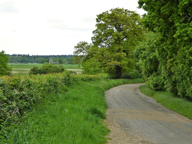
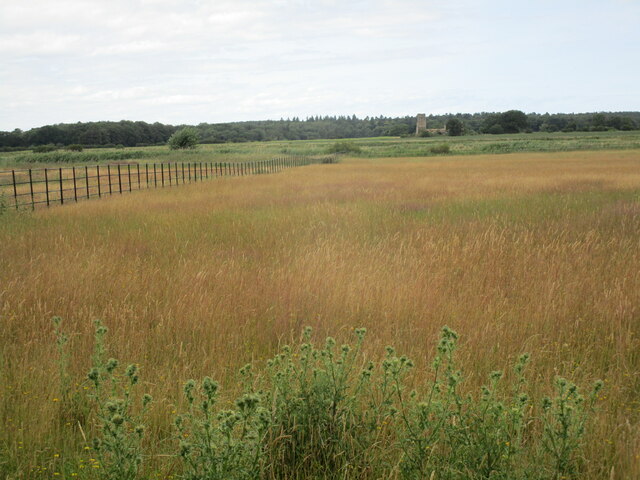
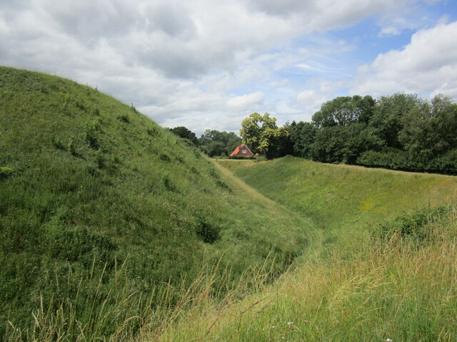
Castle Rising Wood is a picturesque and diverse woodland located in Norfolk, England. Covering an area of approximately 46 hectares, the wood is situated near the village of Castle Rising and is renowned for its natural beauty and historical significance.
The woodland consists of a mixture of broadleaf trees, including oak, beech, and birch, creating a rich and vibrant habitat for a variety of plant and animal species. The dense canopy provides shelter for numerous woodland birds, such as woodpeckers and tawny owls, while the forest floor is adorned with an array of wildflowers, ferns, and fungi.
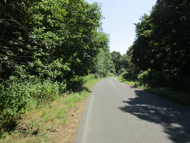
Castle Rising Wood is also home to a number of ancient trees, some of which are believed to be several hundred years old. These majestic specimens contribute to the sense of tranquility and timelessness that permeates the forest, making it a popular destination for walkers, nature enthusiasts, and photographers alike.
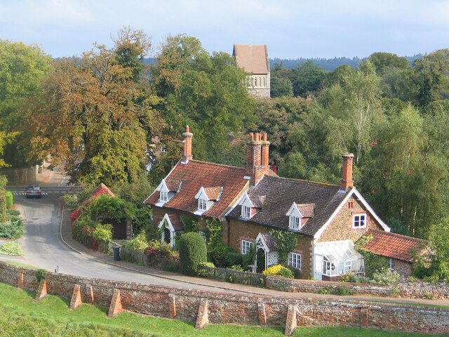
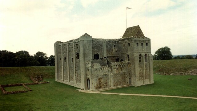
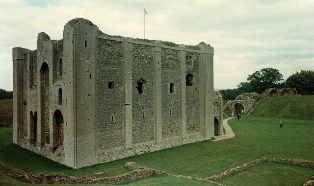
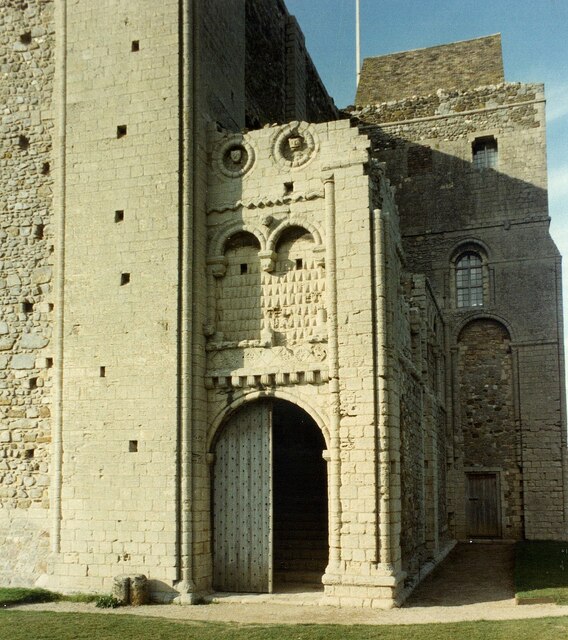
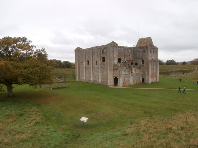
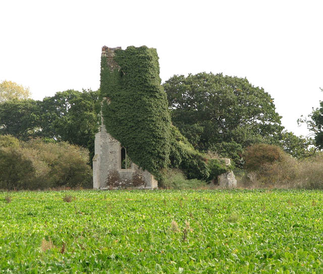
Beyond its natural beauty, Castle Rising Wood holds historical significance as it borders the grounds of Castle Rising, a well-preserved 12th-century castle. The wood provides a stunning backdrop to the castle, enhancing its charm and offering visitors a unique blend of nature and history.
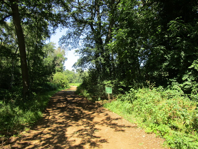
Managed by the Norfolk Wildlife Trust, Castle Rising Wood is open to the public and offers a network of well-maintained trails, allowing visitors to explore its beauty at their leisure. Whether it's a peaceful stroll, birdwatching, or simply immersing oneself in the serene atmosphere, Castle Rising Wood promises a memorable and enriching experience for all who visit.
If you have any feedback on the listing, please let us know in the comments section below.
Castle Rising Wood Images
Images are sourced within 2km of 52.798816/0.47351075 or Grid Reference TF6625. Thanks to Geograph Open Source API. All images are credited.


Castle Rising Wood is located at Grid Ref: TF6625 (Lat: 52.798816, Lng: 0.47351075)
Administrative County: Norfolk
District: King's Lynn and West Norfolk
Police Authority: Norfolk
What 3 Words
///collected.homework.snooze. Near Dersingham, Norfolk
Nearby Locations
Related Wikis

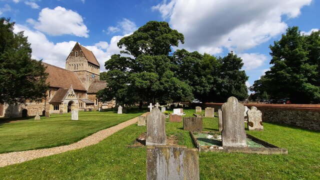
Castle Rising
Castle Rising is a village and civil parish in the English county of Norfolk. The village is situated some 8 kilometres (5 mi) north-east of the town of...

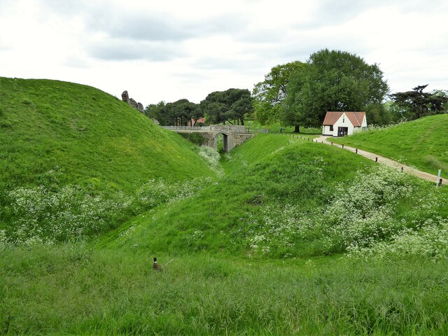
Castle Rising Castle
Castle Rising is a ruined medieval fortification in the village of Castle Rising, Norfolk, England. It was built soon after 1138 by William d'Aubigny II...
Babingley
Babingley is a village and former civil parish, now in the parish of Sandringham, in the King's Lynn and West Norfolk district, in the county of Norfolk...

Wood Farm
Wood Farm is a farmhouse on the British Royal Family's Sandringham Estate in Norfolk, England. Historically occupied by members of the Royal Family and...
Nearby Amenities
Located within 500m of 52.798816,0.47351075Have you been to Castle Rising Wood?
Leave your review of Castle Rising Wood below (or comments, questions and feedback).