Glebe Plantation

Wood, Forest in Suffolk West Suffolk

England

Glebe Plantation

Withersfield: junction, signpost and stinkpipe This is where the lane from Great Wratting meets the road from Withersfield to Great Thurlow (right). The rusty stinkpipe has the usual sort of decorative cast-iron base and a wire cap (like a small steam locomotive's spark arrester), to stop birds nesting I imagine.
Withersfield: junction, signpost and stinkpipe Credit: John Sutton

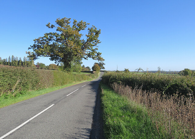
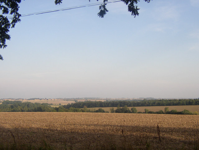
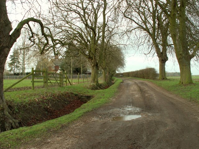
Glebe Plantation, located in Suffolk, England, is a picturesque woodland area covering approximately 100 acres. Situated near the village of Glebe, this enchanting forest is a popular destination for nature enthusiasts and those seeking tranquility amidst the beauty of nature.

The plantation is characterized by its diverse range of tree species, including oak, birch, beech, and pine, among others. These majestic trees provide a stunning canopy, creating a serene and peaceful atmosphere. The forest floor is adorned with a carpet of wildflowers, adding bursts of vibrant colors throughout the seasons.

The plantation is home to a myriad of wildlife, making it an ideal spot for birdwatching and animal spotting. Species such as deer, foxes, rabbits, and various bird species, including woodpeckers and owls, can be frequently observed in their natural habitat. The tranquil setting also attracts a wide variety of butterflies and insects, making it a haven for nature lovers and photographers alike.

Glebe Plantation offers a network of well-maintained trails and paths, allowing visitors to explore the forest at their own pace. These paths wind through the woodland, offering panoramic views and opportunities to discover hidden gems within the plantation. The peaceful ambiance of the forest makes it a perfect location for hiking, jogging, or simply enjoying a leisurely stroll.

For those seeking a peaceful escape from the hustle and bustle of everyday life, Glebe Plantation in Suffolk offers a serene and idyllic setting. With its diverse flora and fauna, well-maintained trails, and breathtaking scenery, it is a place where visitors can truly connect with nature and experience the beauty of the English countryside.

If you have any feedback on the listing, please let us know in the comments section below.

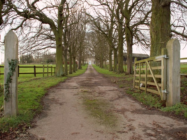
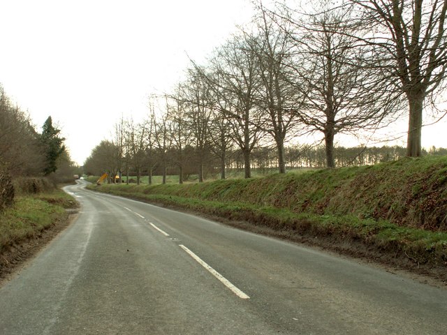
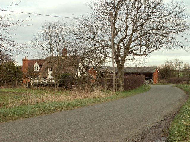
Glebe Plantation Images

Images are sourced within 2km of 52.121387/0.43535002 or Grid Reference TL6649. Thanks to Geograph Open Source API. All images are credited.

Withersfield: junction, signpost and stinkpipe This is where the lane from Great Wratting meets the road from Withersfield to Great Thurlow (right). The rusty stinkpipe has the usual sort of decorative cast-iron base and a wire cap (like a small steam locomotive's spark arrester), to stop birds nesting I imagine.
Withersfield: junction, signpost and stinkpipe
This is where the lane from Great Wratting meets the road from Withersfield to Great Thurlow (right). The rusty stinkpipe has the usual sort of decorative cast-iron base and a wire cap (like a small steam locomotive's spark arrester), to stop birds nesting I imagine.
Great Thurlow smock mill The mill was renovated in 2011, losing its sails and fantail and acquiring a bright metal casing to its cap. It was Grade II* listed as "a fine example" of a smock mill with sails after restoration in 1962.

By way of comparison:
<a href="https://www.geograph.org.uk/photo/49024">TL6749 : Windmill, Great Thurlow, Suffolk</a> (with sails in 2005)
<a href="https://www.geograph.org.uk/photo/2480637">TL6749 : Restoration</a> (2011)
Great Thurlow smock mill
The mill was renovated in 2011, losing its sails and fantail and acquiring a bright metal casing to its cap. It was Grade II* listed as "a fine example" of a smock mill with sails after restoration in 1962. By way of comparison: TL6749 : Windmill, Great Thurlow, Suffolk (with sails in 2005) TL6749 : Restoration (2011)
Great Thurlow: drive to The Old Vicarage Autumn sunlight on a pleasing avenue leading to a four-square country house, currently a luxury B&B. In former times the Rector must have lived in some splendour here, quite a way from the village.
Great Thurlow: drive to The Old Vicarage
Autumn sunlight on a pleasing avenue leading to a four-square country house, currently a luxury B&B. In former times the Rector must have lived in some splendour here, quite a way from the village.
Cottages at Hunts Park Farm On the road from Withersfield to Great Thurlow (ahead).
Cottages at Hunts Park Farm
On the road from Withersfield to Great Thurlow (ahead).
On Withersfield Road in October Early autumn, with some leaves turning. This is the road to Great Thurlow (ahead).
On Withersfield Road in October
Early autumn, with some leaves turning. This is the road to Great Thurlow (ahead).
Windmill, Great Thurlow, Suffolk This Smock Mill (octagonal, wooden structure with sloping, weatherboarded sides) is on the road to Wethersfield above the village.
Windmill, Great Thurlow, Suffolk
This Smock Mill (octagonal, wooden structure with sloping, weatherboarded sides) is on the road to Wethersfield above the village.
View from Gt. Thurlow Mill, Suffolk Looking SE from the entrance to the Old Vicarage on the 105m contour
View from Gt. Thurlow Mill, Suffolk
Looking SE from the entrance to the Old Vicarage on the 105m contour
Road to High Noon Farm
The driveway to Hunts Park Farm
The B.1061, Thurlow Road
Moor Pasture Farm
Moor Pasture Farm
Footpath that leads to Great Wratting
Tuffill's Plantation A footpath from High Noon Farm runs along the eastern side of this field, passing to the right of the plantation ahead.
Tuffill's Plantation
A footpath from High Noon Farm runs along the eastern side of this field, passing to the right of the plantation ahead.
Footpath to High Noon Farm This farm track, which is also a footpath, links Tuffill's Plantation and High Noon Farm.
Footpath to High Noon Farm
This farm track, which is also a footpath, links Tuffill's Plantation and High Noon Farm.
Withersfield Road, heading towards Withersfield village
Part of Paradise Farm
Track and fields near Hunts Park Farm
Nearing Temple End Plantation A short stretch of the Little Thurlow to Carlton Green road forms the county boundary: Suffolk and Temple End Plantation are to the left, Cambridgeshire to the right.
Nearing Temple End Plantation
A short stretch of the Little Thurlow to Carlton Green road forms the county boundary: Suffolk and Temple End Plantation are to the left, Cambridgeshire to the right.
Show me another place!

Glebe Plantation is located at Grid Ref: TL6649 (Lat: 52.121387, Lng: 0.43535002)

Administrative County: Suffolk

District: West Suffolk

Police Authority: Suffolk

What 3 Words

///sharpens.pocketed.following. Near Haverhill, Suffolk

Related Wikis

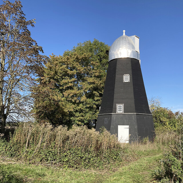
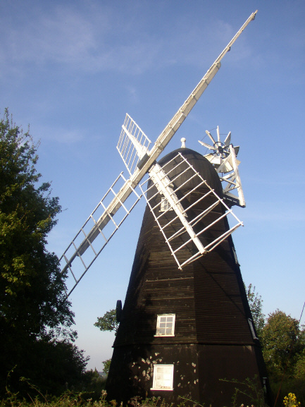
Collis Mill, Great Thurlow

Collis Mill is a Grade II* listed smock mill at Great Thurlow, Suffolk, England, which has been restored. == History == Collis Mill was originally built...

Great Thurlow

Great Thurlow is a village and civil parish in the West Suffolk district of Suffolk in eastern England. It is situated in the far south-west of Suffolk...
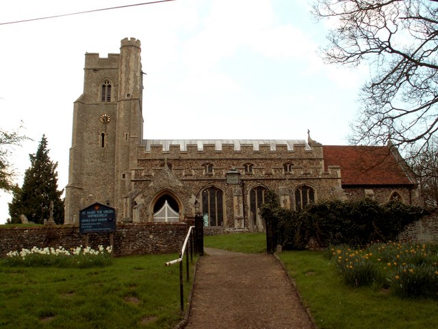
Withersfield

Withersfield is a village and civil parish in the West Suffolk district of Suffolk in eastern England. In 2011 its population was 450. It has a public...

Little Bradley

Little Bradley is a small village and civil parish in the West Suffolk district, in the county of Suffolk, England. According to Eilert Ekwall, the meaning...

RAF Wratting Common

Royal Air Force Wratting Common, or more simply RAF Wratting Common, is a former Royal Air Force substation located near Newmarket, Suffolk, UK. ��2�...

Little Thurlow Green

Little Thurlow Green is a hamlet in the West Suffolk district, in the county of Suffolk. Nearby settlements include the town of Haverhill and the villages...

Great Wratting

Great Wratting is a village and civil parish in England, about four miles from Haverhill, Suffolk, in the valley of the River Stour. There is a ford across...

Bedford Free School

Bedford Free School is a mixed secondary free school located in Bedford, Bedfordshire, England. The school opened in September 2012, and educates pupils...

Nearby Amenities

Located within 500m of 52.121387,0.43535002
Man Made: windmill
Source: npe
Lat/Long: 52.1228147/0.4402033
The data included in this document is from www.openstreetmap.org. The data is made available under ODbL.

Have you been to Glebe Plantation?

Leave your review of Glebe Plantation below (or comments, questions and feedback).