Ferguslie Gardens
Settlement in Renfrewshire
Scotland
Ferguslie Gardens
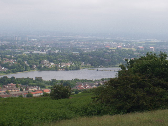
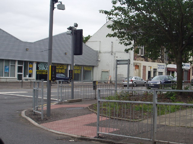
Ferguslie Gardens is a residential area located in Renfrewshire, Scotland. Situated in the town of Paisley, it is one of the largest housing schemes in the area. The neighborhood is predominantly made up of council houses and flats, providing affordable housing options for residents.
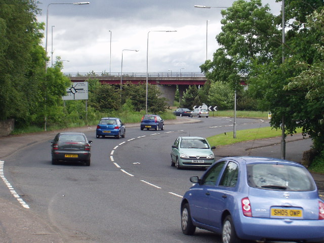
Ferguslie Gardens is well-connected to the surrounding areas, with easy access to public transportation. Paisley Gilmour Street railway station is within walking distance, providing frequent train services to Glasgow and other nearby towns. The M8 motorway is also easily accessible, allowing for convenient travel by car.
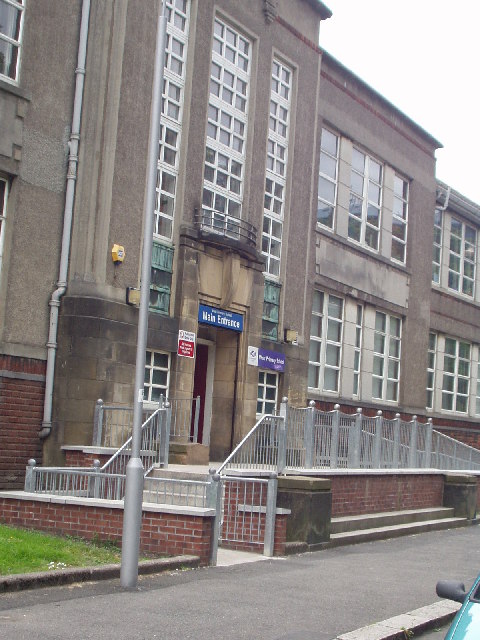
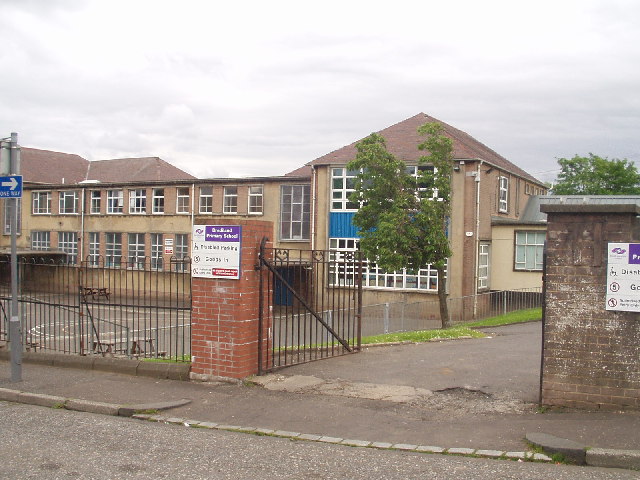
The area offers a range of amenities and facilities to its residents. Ferguslie Gardens Primary School is located within the neighborhood, providing education for young children. There are also several parks and green spaces nearby, such as Ferguslie Park and the nearby Barshaw Park, offering recreational opportunities for residents.
Ferguslie Gardens has faced some challenges in the past, including issues related to crime and unemployment. However, significant efforts have been made to regenerate the area and improve the quality of life for its residents. Various community initiatives and organizations have been established to address these challenges and promote social inclusion.
In recent years, there have been notable improvements in Ferguslie Gardens, with ongoing redevelopment projects aimed at enhancing the area. These efforts focus on improving housing, infrastructure, and community facilities to create a vibrant and thriving neighborhood for residents.
If you have any feedback on the listing, please let us know in the comments section below.
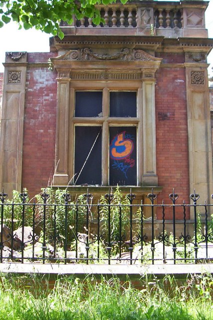
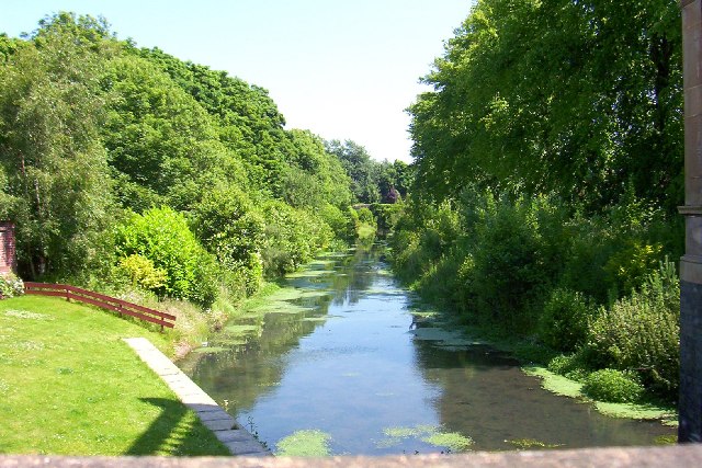
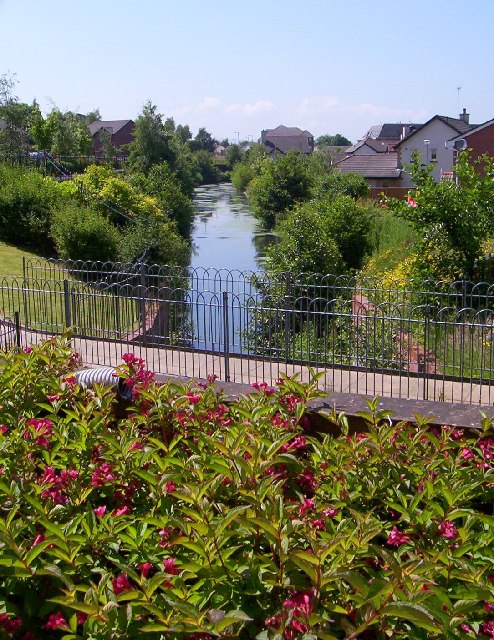
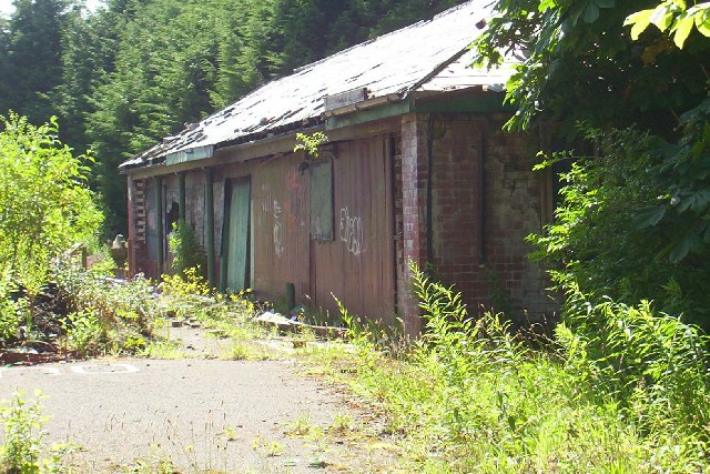
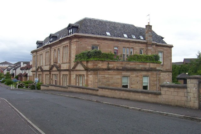
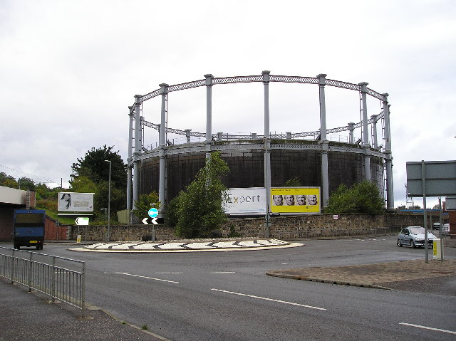
Ferguslie Gardens Images
Images are sourced within 2km of 55.835577/-4.4605707 or Grid Reference NS4663. Thanks to Geograph Open Source API. All images are credited.


Ferguslie Gardens is located at Grid Ref: NS4663 (Lat: 55.835577, Lng: -4.4605707)
Unitary Authority: Renfrewshire
Police Authority: Renfrewshire and Inverclyde
What 3 Words
///beard.healers.fall. Near Elderslie, Renfrewshire
Nearby Locations
Related Wikis

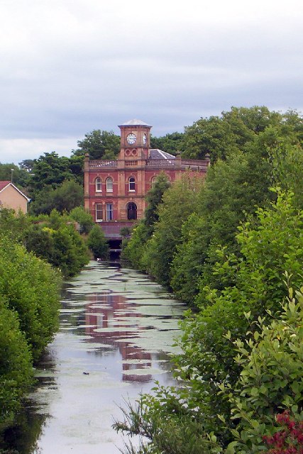
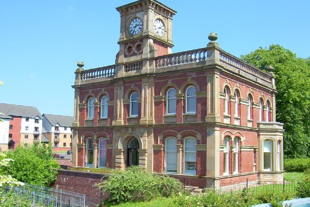
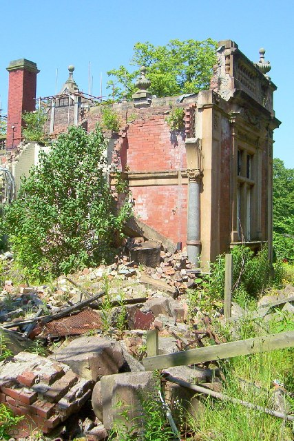
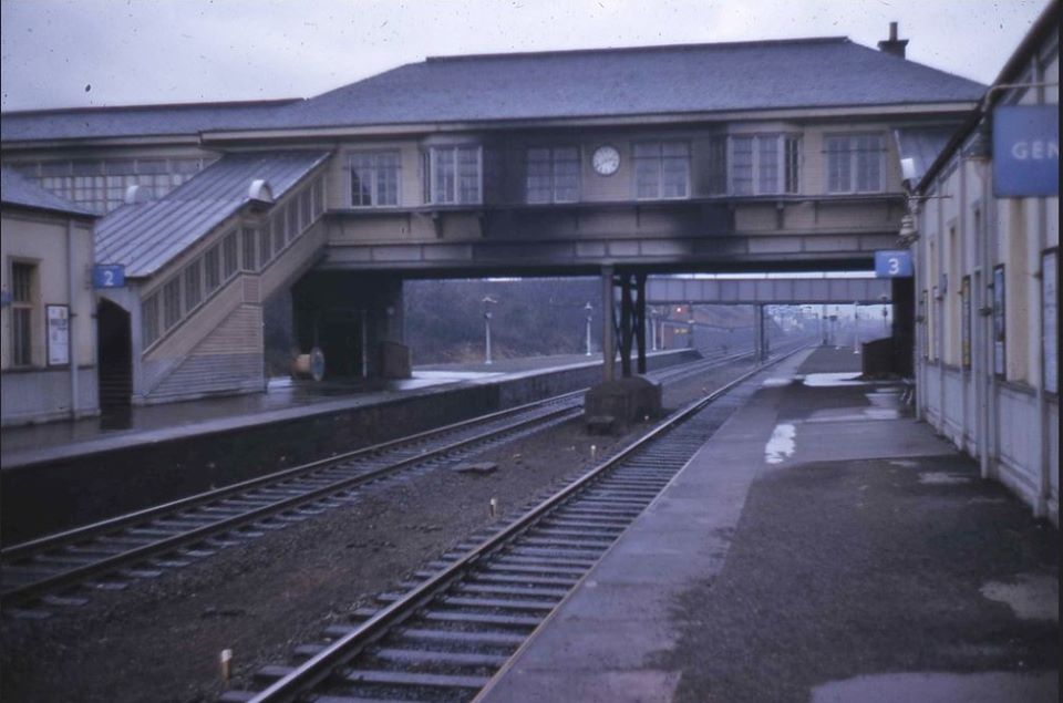
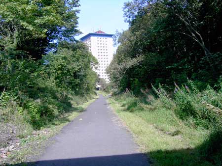
Ferguslie railway station
Ferguslie was a railway station to the west of Paisley, Renfrewshire, Scotland. It was constructed as a planned extension of railway passenger services...
Elderslie railway station
Elderslie railway station was a railway station serving the west of Elderslie, Scotland, originally as part of the Glasgow, Paisley, Kilmarnock and Ayr...
Paisley West railway station
Paisley West railway station was a railway station in Paisley, Renfrewshire, Scotland. The station was originally part of the Paisley Canal Line. ��2...

Gleniffer High School
Gleniffer High School is a Scottish state state school school located in Paisley for boys and girls aged 11 to 18. Since 1988, Gleniffer has been located...
Related Videos

Knockhill Circular in Largs 💙🏴💙🥰
Beautiful, peaceful wee hike with stunning views on the west coast of Scotland #shorts #scotland #hiking ...

Hiking Gleniffer Braes and I Eventually Find a Beautiful Waterfall
I have been told many times that a good walk/hike, pretty close to me is Gleniffer Braes, which is situated between Paisley and ...

UK 🇬🇧 Scotland 🏴| paisley Renfrewshire|travel and explore|visit experience@bhavishavasani24
Namaste friends welcome to my new travel vlog I have visited paisley Renfrewshire Scotland UK which is ...

Nearby Amenities
Located within 500m of 55.835577,-4.4605707Have you been to Ferguslie Gardens?
Leave your review of Ferguslie Gardens below (or comments, questions and feedback).