Broad Wood
Wood, Forest in Norfolk King's Lynn and West Norfolk
England
Broad Wood
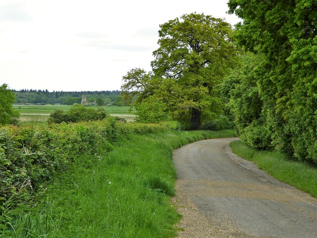
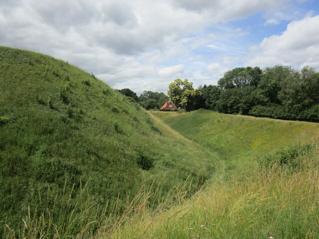
Broad Wood is a picturesque forest located in Norfolk, England. Covering an area of approximately 300 hectares, it is a popular destination for nature enthusiasts and outdoor lovers. The wood is predominantly composed of broadleaf trees, with oak, beech, and ash being the most abundant species. These towering trees create a dense and shady canopy, providing a cool and tranquil atmosphere within the wood.
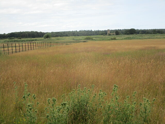
The forest floor is adorned with a rich carpet of bluebells, wild garlic, and ferns, offering a vibrant burst of color during the spring months. A variety of wildlife can be found in Broad Wood, including deer, rabbits, squirrels, and a diverse array of bird species. The wood is also home to several rare and protected species, such as the white admiral butterfly and the lesser spotted woodpecker.
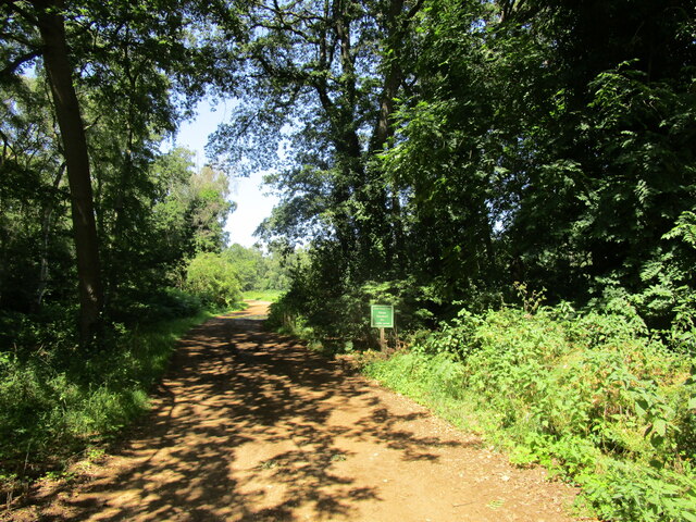
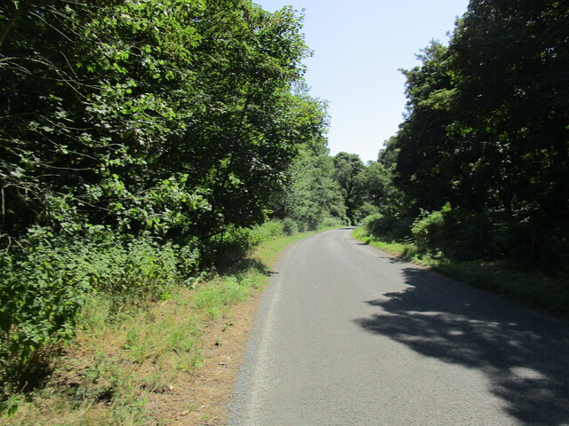
Visitors to Broad Wood can explore the various walking trails that wind through the forest, offering breathtaking views and opportunities for peaceful contemplation. The wood is well-maintained, with clearly marked paths and picnic areas for visitors to enjoy. It is an ideal location for family outings, picnics, or simply a leisurely stroll in nature.
Broad Wood is situated in close proximity to other attractions, such as scenic Norfolk Broads and historic market towns, making it a convenient stop for tourists exploring the region. With its natural beauty, diverse wildlife, and tranquil ambiance, Broad Wood offers a serene escape from the hustle and bustle of everyday life.
If you have any feedback on the listing, please let us know in the comments section below.
Broad Wood Images
Images are sourced within 2km of 52.786756/0.46367564 or Grid Reference TF6623. Thanks to Geograph Open Source API. All images are credited.


Broad Wood is located at Grid Ref: TF6623 (Lat: 52.786756, Lng: 0.46367564)
Administrative County: Norfolk
District: King's Lynn and West Norfolk
Police Authority: Norfolk
What 3 Words
///lifted.ranted.vies. Near Grimston, Norfolk
Nearby Locations
Related Wikis

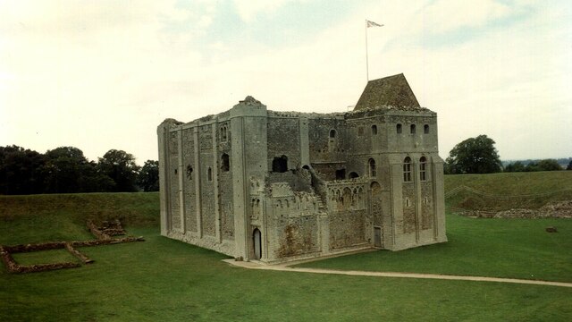
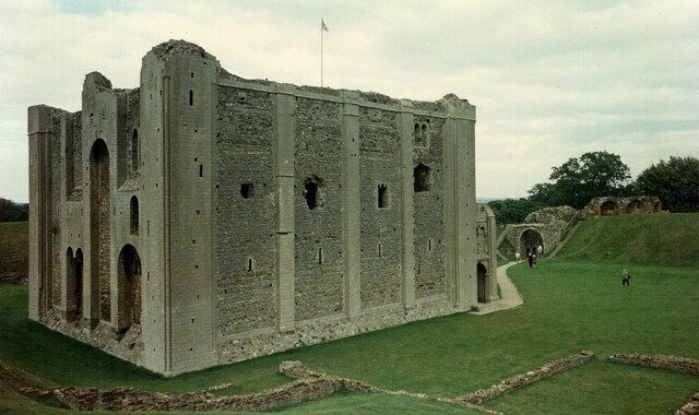
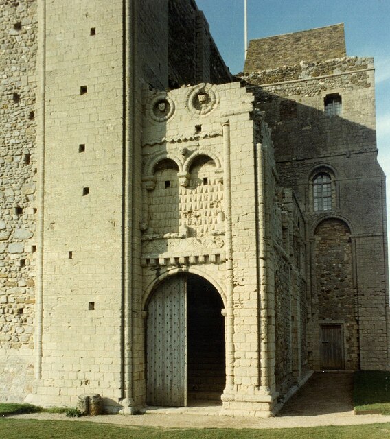
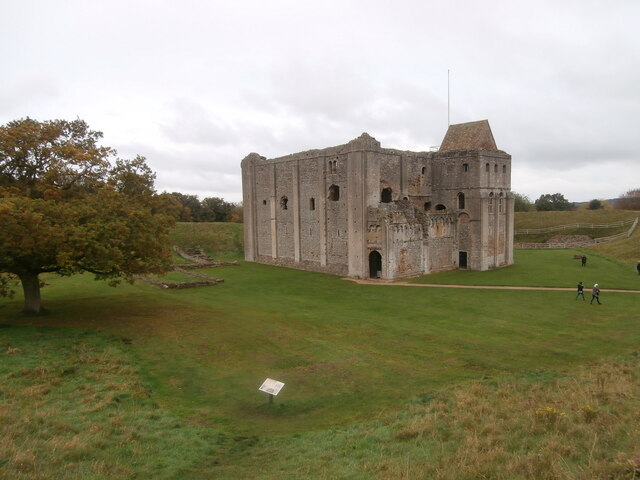
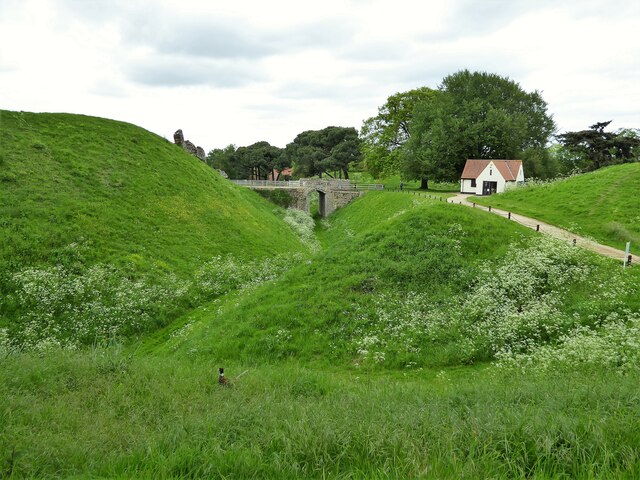
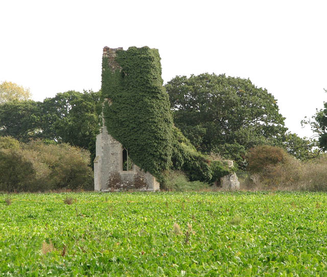
Castle Rising Castle
Castle Rising is a ruined medieval fortification in the village of Castle Rising, Norfolk, England. It was built soon after 1138 by William d'Aubigny II...

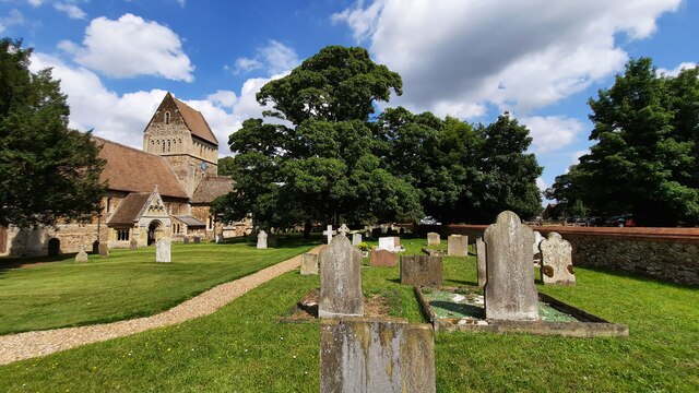
Castle Rising
Castle Rising is a village and civil parish in the English county of Norfolk. The village is situated some 8 kilometres (5 mi) north-east of the town of...

South Wootton
South Wootton is a village and civil parish in the English county of Norfolk, approximately 2 miles (3.2 km) north-east of King's Lynn. It covers an area...

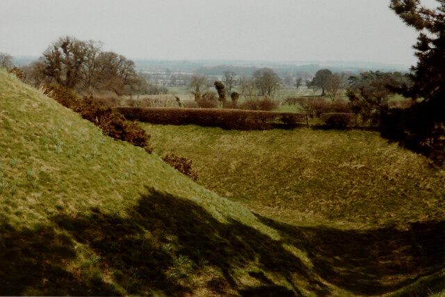
Grimston Warren Pit
Grimston Warren Pit is a 6.6-hectare (16-acre) geological Site of Special Scientific Interest east of King's Lynn in Norfolk. It is a Geological Conservation...

North Wootton, Norfolk
North Wootton is a village, civil parish and electoral ward near the town of King's Lynn in Norfolk, England. It covers an area of 32.33 km2 (12.48 sq...

North Wootton railway station
North Wootton was a railway station on the King's Lynn to Hunstanton line which opened in 1862 to serve the village of North Wootton on the outskirts of...
Babingley
Babingley is a village and former civil parish, now in the parish of Sandringham, in the King's Lynn and West Norfolk district, in the county of Norfolk...

Roydon Common
Roydon Common is a 194.9-hectare (482-acre) biological Site of Special Scientific Interest east of King's Lynn in Norfolk. It is also a Grade I Nature...
Have you been to Broad Wood?
Leave your review of Broad Wood below (or comments, questions and feedback).